


Why visit Ortenberg
Townapedia lists 29 museums and landmarks, 22 parks and trails, 34 places to eat, 5 places to stay and 22 attractions in and around town.
Highlights include Hofladen auf dem Rauhen Berg, Altstadtbühne "KARO-Keller", Museum of Musical Instruments and Burg Lißberg.
Weather in Ortenberg
Forecast from MET Norway (CC BY 4.0). Full forecast
About Ortenberg
Ortenberg (German pronunciation: [ˈɔʁtn̩bɛʁk] ) is a town in the Wetteraukreis district, in Hesse, Germany. It is located 22 km east of Friedberg, and 38 km northeast of Frankfurt am Main.
From the Wikipedia article Ortenberg, Hesse (this version), under CC BY-SA 4.0.
Things to do22

Hofladen auf dem Rauhen Berg
Farm and orchard · 5.4 km
2, Ortenberg
09:00-12:00,14:00-18:00; We,Sa,Su,PH off


10 more on the map.
Museums and landmarks29



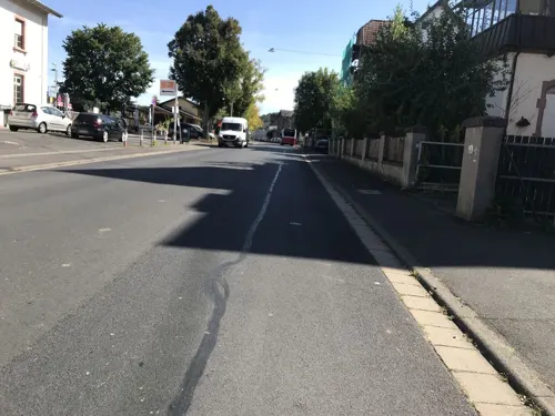
Glauberg
Monument and historic site · 6.5 km
Celtic oppidum in Hesse, Germany




17 more on the map.
Parks, trails and playgrounds22

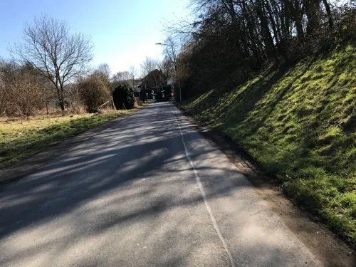
Bleichenbachtal zwischen Bergheim und Bleichenbach
Hiking and trails · 1.6 km



10 more on the map.
Restaurants and cafes34
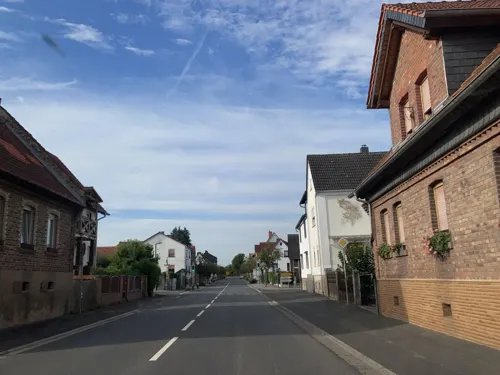
Sam's Liefer- und Abholservice
Restaurant · Pizza · 6.2 km
18 Hauptstraße
Mo, Th-Sa 17:00-21:30; Su 16:30-21:00

Wirtshaus-Café Uhrnstubb
Restaurant · German, Regional · 5.2 km
23 Untergasse, Nidda
Th-Sa 17:30-22:30; Su 11:30-22:30; Mo-We off; PH 11:30-22:30
Zur Traube
Restaurant · German, Regional · 3.3 km
7 Glauburgstraße, Ortenberg
Tu 18:00-23:59; We-Fr 00:00-01:00,18:00-23:59; Sa...
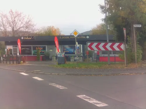
Rank's Schmuckstück
Cafe · 5.2 km
1 Bergstraße, Ranstadt
Mo-Fr 05:30-17:00; Sa 05:30-16:00; Su 07:30-17:00
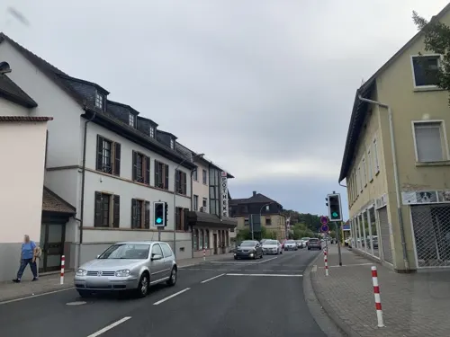
Afrin im Hemmschuh
Restaurant · Kebab, Pizza
6 Wilhelm-Leuschner-Straße, Ortenberg
Mo-Fr 11:00-22:30, Sa 08:00-23:00
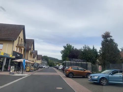
Dynastie
Restaurant · Chinese
9 In den St. Wendelsgärten, Ortenberg
Tu-Su 11:30-14:30, Tu-Su,PH 18:00-22:00
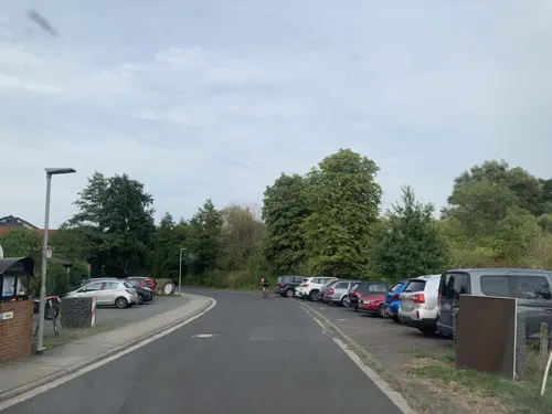
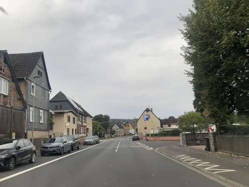
Bürgerspieß
Restaurant
3 Alter Markt, Ortenberg
Mo,We-Sa 11:30-14:30,17:30-22:00, Su 11:30-22:00
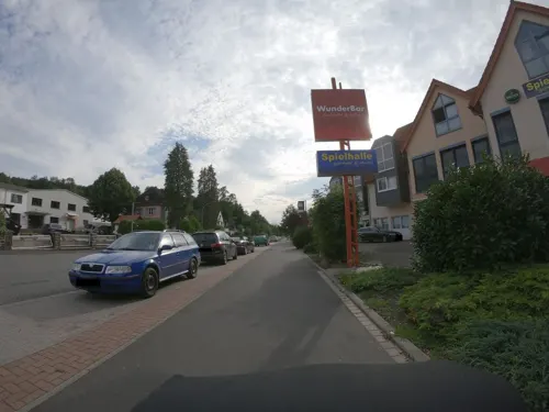
Eiscafe Cortina
Cafe
9-13 In den St. Wendelsgärten, Ortenberg
Mo-Fr 10:00-22:00; Su 11:00-20:45

Gasthaus Haas
Bar and pub · 1.3 km
Kneipe mit eigener Apfelweinkelterei
2 Niddertalstraße, Ortenberg
Tu,Th,Fr,We 14:00-01:00; Sa 12:00-01:00; Su 11:00-01:00; Mo off
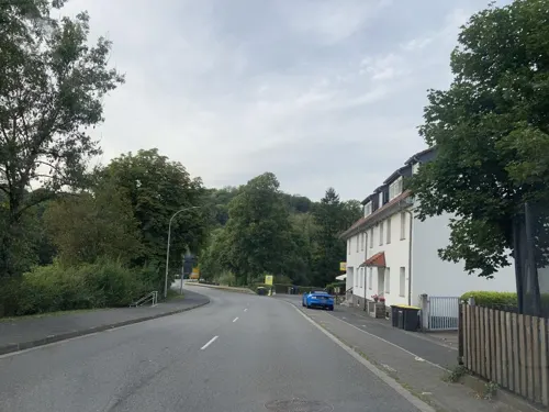


Piaggio
Bar and pub
1-3 Alte Marktstraße, Ortenberg
Tu-Sa 20:00+, Su 20:00-24:00
22 more on the map.
Where to stay5
Churches and places of worship12
Evangelische Kirche Effolderbach
Church · Protestant · 3.7 km
1 Jahnstraße, Ortenberg
Shopping7
Gas and EV charging3
Schools, colleges and libraries7
Healthcare3
Map of Ortenberg
144 places. The map loads OpenStreetMap tiles when you open it.
Getting there and nearby towns
Frankfurt Airport (FRA) is the nearest airport with scheduled flights listed in OpenStreetMap, 52 km away.
- Ranstadt 5 km west, about 5 min by car
- Nidda 7 km northwest, about 7 min by car
- Büdingen 8 km southeast, about 8 min by car
- Altenstadt 11 km southwest, about 11 min by car
- Reichelsheim 13 km west, about 13 min by car
- Schotten 17 km north, about 17 min by car
- Wölfersheim 18 km west, about 18 min by car
- Nidderau 19 km southwest, about 19 min by car
- Gelnhausen 20 km southeast, about 20 min by car
- Langenselbold 20 km south, about 20 min by car
Drive times are estimates from straight-line distance, not routes.
Local news
Headlines from INDB.
Reviews, tips and questions
Loading what members have shared...
Sources and licences
- GeoNames (CC BY 4.0): population, coordinates, regions and time zone
- Mapillary (see each image): photos
- OpenStreetMap contributors (ODbL 1.0): places, airports, map data
- Wikidata (CC0 1.0): elevation, founding date, time zone, website, landmarks and historic places
- Wikimedia Commons (see each image): photos
- Wikipedia (CC BY-SA 4.0): overview and history text
Photo credits
- Ortenberg-15004, Bytfisch, CC BY-SA 4.0
- Ortenberg Wippenbach Nature Reserve 82479 20250817 b, UuMUfQ, CC BY-SA 4.0
- Ortenberg-15003, Bytfisch, CC BY-SA 4.0
- Ortenberg-15002, Bytfisch, CC BY-SA 4.0
- Ortenberg Ortenberg Obertor CityWall Playground df, UuMUfQ, CC BY-SA 3.0
- Ortenberg-15006, Bytfisch, CC BY-SA 4.0
- Rathaus Ortenberg-01, Muck, CC BY-SA 4.0
- Ortenberg-15005, Bytfisch, CC BY-SA 4.0
- Ortenberg Treppe unter Marienkirchgasse 280 SAM 0975 20200506, Karlunun, CC BY-SA 4.0
- Rathaus Ortenberg-02-Eingang, Muck, CC BY-SA 4.0
- Ortenberg Obertor 320 SAM 0970 20200506, Matthias Nonnenmacher, CC BY-SA 4.0
- Ortenberg-15001, Bytfisch, CC BY-SA 4.0
- Ortenberg Marienkirche Suedportal Detail SAM 0971 20200506, Karlunun, CC BY-SA 4.0
- Ortenberg Muehlbach 210 SAM 0976 20200506, Karlunun, CC BY-SA 4.0
- Ortenberg Marienkirche W SAM 0965 20200506, Karlunun, CC BY-SA 4.0
- Ortenberg Fuerstlich Stolbergsches Rentamt Schlosspl13 0 SAM 0973 20200506, Karlunun, CC BY-SA 4.0
- Ortenberg Christkönig Orgel, Christoph Brückner, CC BY 4.0
- Ortenberg Befestigung innen Schlossplatz 50 SAM 0966 20200506, Karlunun, CC BY-SA 4.0
- Ortenberg Schlossberg 85 SAM 0979 20200506, Karlunun, CC BY-SA 4.0
- Ortenberg Nidder Am Muehltor 40 SAM 0978 20200506, Karlunun, CC BY-SA 4.0
- Sunset Ortenberg, Michael Kubicz, CC BY-SA 3.0
- Nidder in Ortenberg, Freak-Line-Community, CC BY-SA 4.0
- Ortenberg Wippenbach Vineyard 20250817 a, UuMUfQ, CC BY-SA 4.0
- 2020-06-09 Ortenberg Eckartsborn Basalt Felsengruppe, OONTER, CC BY-SA 4.0
- 2020-06-09 Ortenberg Eckartsborn Basaltgruppe "Wildfrauhaus" 01, OONTER, CC BY-SA 4.0
- Ortenberg Wippenbach Nature Reserve 82479 20250817 c, UuMUfQ, CC BY-SA 4.0
- Ortenberg Konradsdorf Monastery Pano 20250817 a, UuMUfQ, CC BY-SA 4.0
- Grabhugel Glauberg, Hannibal21 (D. Herdemerten) at de.wikipedia, CC BY-SA 3.0
- Burggebaeude Ruine, Ptolusque, CC BY-SA 3.0
- Burg Lissberg, No machine-readable author provided. Idler assumed (based on copyright claims)., CC BY-SA 3.0
- Ortenberg (Hessen) Obertor 122, Reinhardhauke, CC BY-SA 3.0
- DE Büdingen Pferdsbach Karte by Steschke, Katasteramt Großherzogtum Hessen. Provinz Oberhessen, Kreis Büdingen, Public domain
- Schafskirche Lissberg Innenansicht, Milziade, CC BY-SA 3.0
- Schloss Ortenberg-04-Weinberg-2014-gje, Gerd Eichmann, CC BY 4.0
- Evangelische Kirche Fauerbach (Nidda) 05, Cherubino, CC BY-SA 4.0
- Nidderauen von Stockheim02, KUGerhardt, CC BY-SA 4.0
- Nidda Im ueblen Ried bei Wallernhausen NR 163889 pano, UuMUfQ, CC BY-SA 3.0
- Rain is creating waterpits where plants find their birthplace in the old kaolin carving ground, Iseta Isaria, CC BY-SA 4.0
- Ortenberg (Hessen) Marienkirche 0428, Sven Teschke, CC BY-SA 3.0 de
- Ranstadt Kirche 0896, Sven Teschke, CC BY-SA 3.0 de
- Ortenberg Effolderbach 0607-08, Sven Teschke, CC BY-SA 3.0 de
- Ortenberg Selters Kirche 0612, Sven Teschke, CC BY-SA 3.0 de
- Glauburg Stockheim Kath Kirche, UuMUfQ, CC BY-SA 3.0
- Burg Konradsdorf - Kloster Konradsdorf - Klosterkirche 01, Commander-pirx, CC BY-SA 3.0
- Evangelische Pfarrkirche, Rohrbach (Büdingen), Thomaszwilling, CC BY-SA 4.0
- DE Büdingen Pferdsbach Gedenkstein by Steschke, Sven Teschke, GFDL 1.2
- Stolperstein Bertha Leopold, 1, Wasenstraße 22, Bleichenbach, Ortenberg, Wetteraukreis, GeorgDerReisende, CC BY-SA 4.0
- Street-level photo, tasmaniadevil, CC BY-SA 4.0
- Street-level photo, tasmaniadevil, CC BY-SA 4.0
- Street-level photo, ramap, CC BY-SA 4.0
- Street-level photo, ramap, CC BY-SA 4.0
- Street-level photo, tasmaniadevil, CC BY-SA 4.0
- Street-level photo, tasmaniadevil, CC BY-SA 4.0
- Street-level photo, tasmaniadevil, CC BY-SA 4.0
- Street-level photo, tasmaniadevil, CC BY-SA 4.0
- Street-level photo, tasmaniadevil, CC BY-SA 4.0
- Street-level photo, nakaner, CC BY-SA 4.0
- Street-level photo, troher15, CC BY-SA 4.0
- Street-level photo, tasmaniadevil, CC BY-SA 4.0
- Street-level photo, tasmaniadevil, CC BY-SA 4.0
- Street-level photo, nakaner, CC BY-SA 4.0
- Street-level photo, nakaner, CC BY-SA 4.0
- Street-level photo, tasmaniadevil, CC BY-SA 4.0
- Street-level photo, troher15, CC BY-SA 4.0
- Street-level photo, tasmaniadevil, CC BY-SA 4.0
- Street-level photo, tasmaniadevil, CC BY-SA 4.0
- Street-level photo, tasmaniadevil, CC BY-SA 4.0
- Street-level photo, troher15, CC BY-SA 4.0
- Street-level photo, troher15, CC BY-SA 4.0


Page built November 9, 2026. Spotted a mistake? Tell us or suggest a place.