


Why visit Reichelsheim
Townapedia lists 15 museums and landmarks, 22 parks and trails, 39 places to eat, 8 places to stay and 11 attractions in and around town.
Highlights include Eichelberg, Lochberg, Horloff-Brücke and Hexenturm.
Weather in Reichelsheim
Forecast from MET Norway (CC BY 4.0). Full forecast
About Reichelsheim
Reichelsheim (Wetterau) (German pronunciation: [ˈʁaɪçl̩shaɪm] ) is a town in the district Wetteraukreis, in Hesse, Germany. It is located 30 kilometers north of Frankfurt am Main.
From the Wikipedia article Reichelsheim (Wetterau) (this version), under CC BY-SA 4.0.
Things to do11


Museums and landmarks15
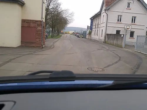

Hexenturm
Monument and historic site
Alter Steinturm der Reichelsheimer Stadtbefestigung, der in der Zeit der Hexenverfolgung als Gefängnis diente.
14 Turmgasse, Reichelsheim (Wetterau)

Storchenturm mit Stadttor
Monument and historic site
Alter Wehrturm der Stadtbefestigung mit erhaltenem Stadttor und einem Stück Stadtmauer.
22 Untere Haingasse, Reichelsheim


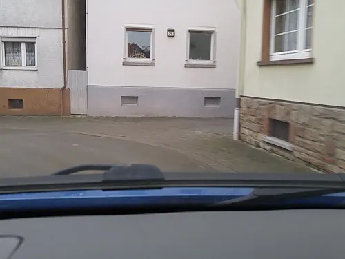
Wehrturm
Monument and historic site
Südlicher Wehrturm der ehemaligen Reichelsheimer Stadtbefestigung
Denkmal für die Opfer des Deutsch-Französischen Krieges 1870/71
Monument and historic site

3 more on the map.
Parks, trails and playgrounds22

Kleinkastell Lochberg
Hiking and trails · 1.5 km
Ehemaliges Römisches Kastell auf dem Lochberg





Teufelsee und Pfaffensee zwischen Echzell und Reichelsheim-Weckesheim
Hiking and trails · 2.6 km

10 more on the map.
Restaurants and cafes39
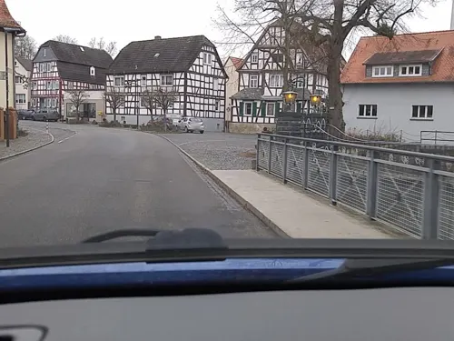
Hotel Restaurant Café Schloss Ysenburg
Restaurant · Regional, Ice Cream, German, Coffee Shop · 3.7 km
20 Parkstraße, Florstadt
Tu-Su 12:00-14:00,18:00-22:00

Nostalgie Pizzeria Cocktail Lounge
Restaurant · Italian · 4.2 km
17 Weitgasse, Florstadt
Tu-Sa 17:00+; Su 17:00-22:00; Mo off
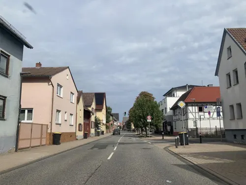
Restaurant Pizzeria Adria
Restaurant · Italian, Pizza · 3.5 km
53 Hauptstraße, Echzell
11:30-14:30,17:30-23:00; Tu off
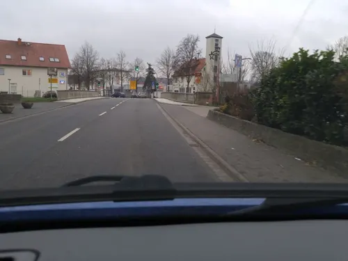
Ristorante, Trattoria "Il Ponte"
Restaurant · Italian, Pizza · 4.1 km
2 Friedberger Landstraße, Florstadt
Mo off; Tu-Th 12:00-14:00,17:30-23:00; Fr 17:30-23:00; Sa...
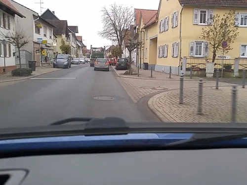
Weinscheune Echzell
Restaurant · German · 4.0 km
184 Hauptstraße, Echzell
Mo off; Tu-Sa 18:00-23:59, We-Su 00:00-01:00, Su 11:00-14:00,18:00-23:00
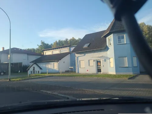
Bistro Cockpit
Bar and pub · 0.8 km
12 Im Mühlahl, Reichelsheim
Mo-Th 17:00-23:00; Fr,Sa 17:00-23:59; Su 17:00-23:00; Sa,Su 00:00-01:00

Hinnerbäcker
Bakery · 4.2 km
8 Messeplatz, Florstadt
Mo-Fr 06:00-18:00; Sa 06:00-13:00; Su 07:00-11:00
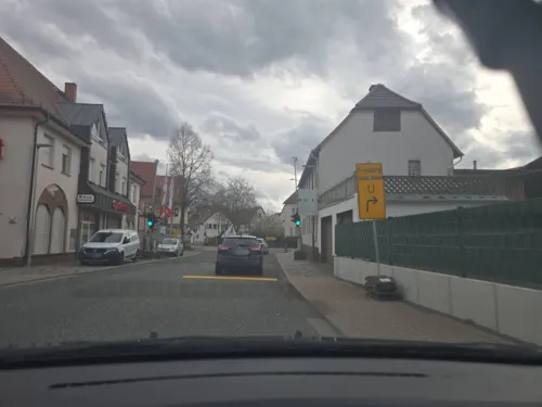
Ristorante Pizzeria "Milano"
Restaurant · Italian, Pizza · 3.4 km
33 Hauptstraße, Florstadt
We-Mo 11:30-14:00,17:30-23:00


Tandoori Florstadt
Restaurant · Indian · 4.3 km
3 Niddastraße, Florstadt
Mo,We-Fr 17:00-22:00; Sa-Su 16:00-22:00; PH off
27 more on the map.
History
The oldest parts are Beienheim (first mentioned in a document from the year 773) and Reichelsheim (817).
The town of Reichelsheim was created in 1972 during an extensive land reform. The formerly independent villages mentioned above joined administrative structures now concentrated in the largest of the villages, Reichelsheim.
The area which is now the town of Reichelsheim was probably already populated in Celtic times. During the fourth century BC the Celts were slowly displaced by Germanic tribes that later had to yield to Roman rule which forced all of the Wetterau under its control.
In the 6th century Frankish rule was established. The name-ending "-heim" is of Frankish origin, meaning quite literally "home of". In the case of the village of Reichelsheim, it was supposedly a frankish settler named Richholf who founded the village that was first mentioned as "Richolfsheim".
During the Thirty Years' War the town was repeatedly plundered and burned to the ground.
From the History section of Reichelsheim (Wetterau) on Wikipedia, under CC BY-SA 4.0.
Where to stay8
Churches and places of worship14
Evangelische Kirche Weckesheim
Church · Protestant · 2.4 km
5 Sommerbachstraße, Reichelsheim (Wetterau)
Kath. Kirche St. Willigis, Florstadt
Church · Roman Catholic · 4.5 km
1 Friedensstraße, Florstadt
St. Maria Magdalena
Church · Roman Catholic · 3.0 km
2 Kirchplatz, Reichelsheim (Wetterau)
Mubarak Mosque
Place of worship · Ahmadiyya · 4.3 km
6 Willy-Brandt-Straße, Florstadt
Shopping10
Gas and EV charging4
Schools, colleges and libraries7
Förderschule auf waldorfpädagogischer Grundlage in der Lebensgemeinschaft Bingenheim
School · 2.4 km
9 Schloßstraße, Echzell
Healthcare3
Map of Reichelsheim
133 places. The map loads OpenStreetMap tiles when you open it.
Getting there and nearby towns
Frankfurt Airport (FRA) is the nearest airport with scheduled flights listed in OpenStreetMap, 44 km away.
- Wölfersheim 6 km northwest, about 6 min by car
- Friedberg 9 km west, about 9 min by car
- Altenstadt 9 km southeast, about 9 min by car
- Bad Nauheim 10 km west, about 10 min by car
- Nidda 11 km northeast, about 11 min by car
- Nidderau 13 km south, about 13 min by car
- Rosbach vor der Höhe 14 km southwest, about 14 min by car
- Karben 16 km southwest, about 16 min by car
- Butzbach 17 km northwest, about 17 min by car
- Büdingen 18 km southeast, about 18 min by car
Drive times are estimates from straight-line distance, not routes.
Local news
Headlines from INDB.
Reviews, tips and questions
Loading what members have shared...
Sources and licences
- GeoNames (CC BY 4.0): population, coordinates, regions and time zone
- Mapillary (see each image): photos
- OpenStreetMap contributors (ODbL 1.0): places, airports, map data
- Wikidata (CC0 1.0): elevation, founding date, time zone, website
- Wikimedia Commons (see each image): photos
- Wikipedia (CC BY-SA 4.0): overview and history text
Photo credits
- Historisches Rathaus Reichelsheim, Marc Stephan, CC BY-SA 3.0
- Horloff (Reichelsheim), Freak-Line-Community, CC BY-SA 4.0
- Schloss Bingenheim04, Haselburg-müller, CC BY-SA 3.0
- Echzeller Schloss 02, Commander-pirx, CC BY-SA 3.0
- Bingenheimer Ried, Mocambotango, CC BY-SA 4.0
- NSG Nachtweid, Charles S. Lima, CC BY-SA 4.0
- K1600 552B3654 1, Snirgeldasch, CC BY-SA 4.0
- Evangelische Kirche (Bingenheim) 06, Cherubino, CC BY-SA 4.0
- Evangelische Kirche (Echzell) 01 a, Cherubino, CC BY-SA 4.0
- Evangelische Kirche (Gettenau) 06, Cherubino, CC BY-SA 4.0
- St Maria Magdalena Dorn-Assenheim, Fotofan2010, CC BY-SA 3.0
- Nieder-Florstadt, Evangelische Kirche, Karsten Ratzke, CC0
- Nieder-Florstadt, Katholische Kirche, Karsten Ratzke, CC0
- Nieder-Florstadt, Hessen-Darmstädter Stundenstein (3), Manfred Schröter, Berga, CC BY-SA 4.0
- NSG Am Mähried, Charles S. Lima, CC BY-SA 4.0
- Schloss Bingenheim02, Haselburg-müller, CC BY-SA 3.0
- Kleinkastell Lochberg, Haselburg-müller, CC BY-SA 3.0
- Altes Speichergebäude, Reischelsheim, beim Bahnhof - panoramio, Dieter Grebe, CC BY 3.0
- Bingenheimer Ried.011, Birgit2710, CC BY-SA 4.0
- 2023 12 13 Bingenheimer Ried, Andreas Stoll Wetterau, CC0
- Raun (Bingenheim) 02, Cherubino, CC BY-SA 4.0
- Weidgasse 30 (Bingenheim) 03, Cherubino, CC BY-SA 4.0
- Weidgasse 30 (Bingenheim) 04, Cherubino, CC BY-SA 4.0
- Weidgasse 30 (Bingenheim) 02, Cherubino, CC BY-SA 4.0
- Weidgasse 30 (Bingenheim) 01, Cherubino, CC BY-SA 4.0
- Raun (Bingenheim) 01, Cherubino, CC BY-SA 4.0
- Weidgasse 2 (Bingenheim) 01, Cherubino, CC BY-SA 4.0
- Weidgasse 2 (Bingenheim) 04, Cherubino, CC BY-SA 4.0
- Weidgasse 2 (Bingenheim) 02, Cherubino, CC BY-SA 4.0
- Weidgasse 2 (Bingenheim) 03, Cherubino, CC BY-SA 4.0
- Linde am Brunnen (Bingenheim) 07, Cherubino, CC BY-SA 4.0
- Linde am Brunnen (Bingenheim) 09, Cherubino, CC BY-SA 4.0
- Linde am Brunnen (Bingenheim) 04, Cherubino, CC BY-SA 4.0
- Schloss Bingenheim01, Haselburg-müller, CC BY-SA 3.0
- Erbsengasse 1 (Bingenheim) 05, Cherubino, CC BY-SA 4.0
- Erbsengasse 1 (Bingenheim) 04, Cherubino, CC BY-SA 4.0
- 2 Säuleneichen (Bingenheim) 01, Cherubino, CC BY-SA 4.0
- Kronstraße 4 (Bingenheim) 01, Cherubino, CC BY-SA 4.0
- Kirsche am Eichelberg (Blofeld) 11, Cherubino, CC BY-SA 3.0
- Street-level photo, scg1176, CC BY-SA 4.0
- Street-level photo, tasmaniadevil, CC BY-SA 4.0
- Street-level photo, scg1176, CC BY-SA 4.0
- Street-level photo, scg1176, CC BY-SA 4.0
- Street-level photo, scg1176, CC BY-SA 4.0
- Street-level photo, scg1176, CC BY-SA 4.0
- Street-level photo, scg1176, CC BY-SA 4.0
- Street-level photo, scg1176, CC BY-SA 4.0
- Street-level photo, scg1176, CC BY-SA 4.0
- Street-level photo, troher15, CC BY-SA 4.0
- Street-level photo, scg1176, CC BY-SA 4.0
- Street-level photo, scg1176, CC BY-SA 4.0
- Street-level photo, scg1176, CC BY-SA 4.0
- Street-level photo, scg1176, CC BY-SA 4.0
- Street-level photo, scg1176, CC BY-SA 4.0
- Street-level photo, scg1176, CC BY-SA 4.0
- Street-level photo, scg1176, CC BY-SA 4.0
- Street-level photo, tasmaniadevil, CC BY-SA 4.0
- Street-level photo, troher15, CC BY-SA 4.0
- Street-level photo, robffm, CC BY-SA 4.0
- Street-level photo, scg1176, CC BY-SA 4.0
- Street-level photo, tasmaniadevil, CC BY-SA 4.0
- Street-level photo, tasmaniadevil, CC BY-SA 4.0
- Street-level photo, scg1176, CC BY-SA 4.0
- Street-level photo, tasmaniadevil, CC BY-SA 4.0
- Street-level photo, tasmaniadevil, CC BY-SA 4.0


Page built November 9, 2026. Spotted a mistake? Tell us or suggest a place.