


Why visit Wölfersheim
Townapedia lists 43 museums and landmarks, 27 parks and trails, 68 places to eat, 6 places to stay and 8 attractions in and around town.
Highlights include Greifvogelpark, Rosenmuseum, Energiemuseum and Bingenheimer Ried.
Weather in Wölfersheim
Forecast from MET Norway (CC BY 4.0). Full forecast
About Wölfersheim
Wölfersheim (German pronunciation: [ˈvœlfɐshaɪm]) is a municipality in the Wetteraukreis in Hessen, Germany. It is located approximately 34 kilometers north of Frankfurt am Main.
From the Wikipedia article Wölfersheim (this version), under CC BY-SA 4.0.
Things to do8




Museums and landmarks43
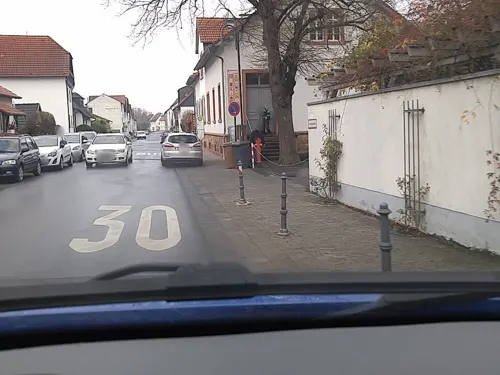
Rosenmuseum
Museum · 4.9 km
1 Alte Schulstraße, Bad Nauheim
Mar,Apr,Nov: Tu-Sa 14:00-17:00; May-Oct: Tu-Sa 11:00-18:00;...

Energiemuseum
Museum
11 Seestraße, Wölfersheim
Su[1],Su[3] 14:00-17:00


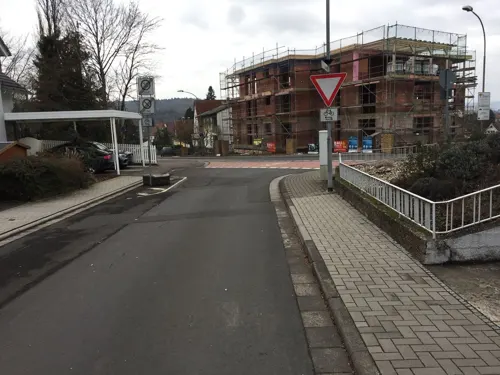


Wasserturm Berstadt
Monument and historic site · 4.5 km
14 Licher Straße, Wölfersheim


31 more on the map.
Parks, trails and playgrounds27


Breitwiese bei Steinfurth und Oppershofen
Hiking and trails · 5.4 km




Teufelsee und Pfaffensee zwischen Echzell und Reichelsheim-Weckesheim
Hiking and trails · 3.8 km


15 more on the map.
Restaurants and cafes68
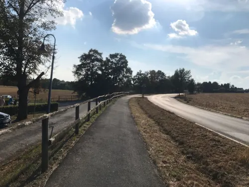
Brunnenwärterhaus
Restaurant · German · 5.8 km
Biergarten neben dem Restaurant
5 Am Sauerbrunnen, Bad Nauheim
Mo-Tu off; We-Sa 17:30-23:00; Su 11:30-22:00
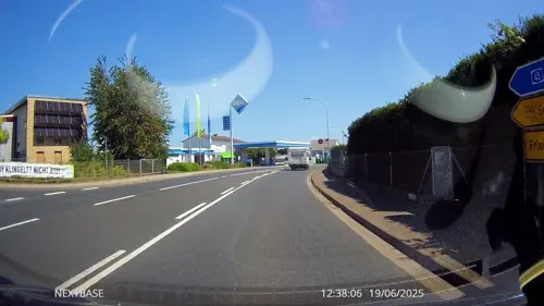
Il Cappuccino
Restaurant · Italian
2 Hauptstraße, Wölfersheim
Mo-Fr 11:30-14:30,17:30-24:00; Sa,Su 11:30-14:30,17:30-24:00
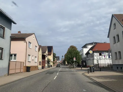
Restaurant Pizzeria Adria
Restaurant · Italian, Pizza · 5.0 km
53 Hauptstraße, Echzell
11:30-14:30,17:30-23:00; Tu off
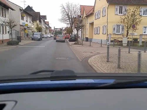
Weinscheune Echzell
Restaurant · German · 5.0 km
184 Hauptstraße, Echzell
Mo off; Tu-Sa 18:00-23:59, We-Su 00:00-01:00, Su 11:00-14:00,18:00-23:00
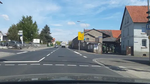
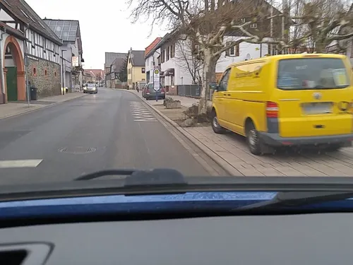

Hinnerbäcker
Bakery
Mo-Fr 06:00-18:00; Sa 06:00-13:00; Su 07:00-11:00


Isoletta
Restaurant · Italian
17 Heyenheimer Weg, Wölfersheim
We-Mo 17:30-22:00, Su 11:30-14:30
56 more on the map.
Where to stay6
Churches and places of worship16
Evangelische Kirche Weckesheim
Church · Protestant · 4.5 km
5 Sommerbachstraße, Reichelsheim (Wetterau)
Evangelische Kirche
Church · Lutheran · 3.3 km
35 Obergasse, Wölfersheim
Evangelische Kirche Berstadt
Church · Lutheran · 4.5 km
20 Licher Straße, Wölfersheim
Evangelische kirche Melbach
Church · Lutheran · 2.2 km
31 Große Gasse, Wölfersheim
Evangelische Kirche Obbornhofen
Church · Lutheran · 4.6 km
5 Gustav-Lorenz-Weg, Hungen
Evangelische Kirche Södel
Church · Lutheran · 0.9 km
12 Södeler Straße, Wölfersheim
Steinfurther Kirche
Church · Protestant · 5.0 km
40 Steinfurther Hauptstraße, Bad Nauheim
Shopping11
Gas and EV charging6
Schools, colleges and libraries13
Sandrosenschule Rockenberg - Außenstelle Oppershofen
School · 5.7 km
10 Bardostraße, Rockenberg
Freie Waldorfschule Wetterau (Waldorfschulverein Wetterau e.V.)
School · 5.4 km
Healthcare2
Map of Wölfersheim
200 places. The map loads OpenStreetMap tiles when you open it.
Getting there and nearby towns
Frankfurt Airport (FRA) is the nearest airport with scheduled flights listed in OpenStreetMap, 46 km away.
- Bad Nauheim 7 km southwest, about 7 min by car
- Friedberg 8 km southwest, about 8 min by car
- Butzbach 11 km west, about 11 min by car
- Nidda 14 km east, about 14 min by car
- Lich 13 km north, about 13 min by car
- Rosbach vor der Höhe 14 km southwest, about 14 min by car
- Langgöns 15 km northwest, about 15 min by car
- Altenstadt 15 km southeast, about 15 min by car
- Nidderau 18 km south, about 18 min by car
- Karben 19 km south, about 19 min by car
Drive times are estimates from straight-line distance, not routes.
Local news
Headlines from INDB.
Reviews, tips and questions
Loading what members have shared...
Sources and licences
- GeoNames (CC BY 4.0): population, coordinates, regions and time zone
- Mapillary (see each image): photos
- OpenStreetMap contributors (ODbL 1.0): places, airports, map data
- Wikidata (CC0 1.0): elevation, founding date, time zone, website
- Wikimedia Commons (see each image): photos
- Wikipedia (CC BY-SA 4.0): overview and history text
Photo credits
- Blick vom weißen Turm aus in Richtung Norden, Nils E., Public domain
- Narrenturm in Wölfersheim (2), Nils E., Public domain
- Hollergasse 4 Hausinschrift Wölfersheim, Nils E., Public domain
- Hollergasse 4 Wölfersheim, Nils E., Public domain
- Innenansicht Narrenturm in Wölfersheim (1), Nils E., Public domain
- Narrenturm in Wölfersheim (4), Nils E., Public domain
- Narrenturm in Wölfersheim (5), Nils E., Public domain
- Narrenturm in Wölfersheim (1), Nils E., Public domain
- Narrenturm in Wölfersheim (6), Nils E., Public domain
- Innenansicht Narrenturm in Wölfersheim (2), Nils E., Public domain
- Narrenturm in Wölfersheim (3), Nils E., Public domain
- Innenansicht Narrenturm in Wölfersheim (3), Nils E., Public domain
- Hauptstraße 38 Wölfersheim, Nils E., Public domain
- Neuer Platz 9 Wölfersheim, Nils E., Public domain
- Hauptstraße 34 Wölfersheim, Nils E., Public domain
- Ehemaliges Rathaus Wölfersheim, Nils E., Public domain
- Rotes Kreuz Wölfersheim - panoramio, Dieter Grebe, CC BY 3.0
- Schild Georg Eberhard Rumpf in Wölfersheim, Nils E., Public domain
- Seestraße Wölfersheim, Nils E., Public domain
- Hauptstraße 31 Wölfersheim, Nils E., Public domain
- Feuerwehr Wölfersheim - panoramio, Dieter Grebe, CC BY 3.0
- Kirchgasse 3 (Wölfersheim) 01, Cherubino, CC BY-SA 4.0
- Wölfersheimer Hinterhof - panoramio, Dieter Grebe, CC BY 3.0
- Kirchgasse 3 Wölfersheim, Nils E., Public domain
- Kirchgasse 3 (Wölfersheim) 08, Cherubino, CC BY-SA 4.0
- Wölfersheim, Kilometerstein 5,0 (a), Manfred Schröter, Berga, CC BY-SA 4.0
- Wölfersheim, Kilometerstein 5,0 (b), Manfred Schröter, Berga, CC BY-SA 4.0
- Linde Wölfersheim, Nils E., Public domain
- Linde Wölfersheim (Winter), Nils E., Public domain
- Schwarzer Turm Wölfersheim 3, Nils E., Public domain
- Ev. ref. Kirche Wölfersheim 2, Nils E., Public domain
- Weißer Turm in Wölfersheim, Nils E., Public domain
- Obbornhofen Kirche (1), Wikiwal, CC BY 3.0
- Evangelische Kirche Wohnbach von Südwest 02, Cherubino, CC BY-SA 3.0
- Echzeller Schloss 02, Commander-pirx, CC BY-SA 3.0
- Bingenheimer Ried, Mocambotango, CC BY-SA 4.0
- NSG Wingertsberg bei Oppershofen 27, Cherubino, CC BY-SA 4.0
- Ev. Kirche Melbach, Nils E., Public domain
- NSG Salzwiesen von Wisselsheim DJI 0596, Michael Wolf ( Webseite ), CC BY-SA 3.0
- Naturschutzgebiet Kist von Berstadt 04, Cherubino, CC BY-SA 4.0
- K1600 552B3654 1, Snirgeldasch, CC BY-SA 4.0
- Umspannwerk des ehem. Braunkohlekraftwerkes Wölfersheim 01, Cherubino, CC BY-SA 4.0
- Evangelische Kirche (Echzell) 01 a, Cherubino, CC BY-SA 4.0
- Evangelische Kirche (Gettenau) 06, Cherubino, CC BY-SA 4.0
- Steinfurth Kirche Osten, Wikiwal, CC BY 4.0
- Ev. Kirche Berstadt (1), Nils E., Public domain
- NSG Kiesgrube Laukertsberg bei Nieder-Mörlen DJI 0579, Michael Wolf ( Webseite ), CC BY-SA 3.0
- Evangelische Kirche in Södel - panoramio, Dieter Grebe, CC BY 3.0
- Wasserturm Wölfersheim-Berstadt (1), Nils E., Public domain
- NSG Breitwiese bei Steinfurth und Oppershofen 06, Cherubino, CC BY-SA 4.0
- LGS Bad Nauheim Kristallturm 3151, Sven Teschke , Büdingen, CC BY-SA 3.0 de
- Jupitersäule Echzell, Haselburg-müller, CC BY-SA 3.0
- Schwelteich von Echzell ( Naturschutzgebiet ) - panoramio (1), Dieter Grebe, CC BY 3.0
- Street-level photo, scg1176, CC BY-SA 4.0
- Street-level photo, troher15, CC BY-SA 4.0
- Street-level photo, derlipper, CC BY-SA 4.0
- Street-level photo, Planungsgesellschaft_RV-K, CC BY-SA 4.0
- Street-level photo, scg1176, CC BY-SA 4.0
- Street-level photo, tasmaniadevil, CC BY-SA 4.0
- Street-level photo, scg1176, CC BY-SA 4.0
- Street-level photo, lllooommm, CC BY-SA 4.0
- Street-level photo, Planungsgesellschaft_RV-K, CC BY-SA 4.0
- Street-level photo, scg1176, CC BY-SA 4.0
- Street-level photo, Planungsgesellschaft_RV-K, CC BY-SA 4.0
- Street-level photo, scg1176, CC BY-SA 4.0
- Street-level photo, scg1176, CC BY-SA 4.0
- Street-level photo, grinninghamster, CC BY-SA 4.0
- Street-level photo, troher15, CC BY-SA 4.0
- Street-level photo, lllooommm, CC BY-SA 4.0
- Street-level photo, Planungsgesellschaft_RV-K, CC BY-SA 4.0
- Street-level photo, scg1176, CC BY-SA 4.0
- Street-level photo, tasmaniadevil, CC BY-SA 4.0
- Street-level photo, scg1176, CC BY-SA 4.0
- Street-level photo, troher15, CC BY-SA 4.0
- Street-level photo, dominik354, CC BY-SA 4.0
- Street-level photo, lllooommm, CC BY-SA 4.0
- Street-level photo, Planungsgesellschaft_RV-K, CC BY-SA 4.0
- Street-level photo, tasmaniadevil, CC BY-SA 4.0
- Street-level photo, scg1176, CC BY-SA 4.0
- Street-level photo, tasmaniadevil, CC BY-SA 4.0


Page built November 9, 2026. Spotted a mistake? Tell us or suggest a place.