


Why visit Pottenstein
Townapedia lists 121 museums and landmarks, 13 parks and trails, 93 places to eat, 50 places to stay and 65 attractions in and around town.
Highlights include Aussichtsturm Hohenmirsberger Platte, Devil's Cave, Scharfrichtermuseum and Wallfahrtsmuseum Gößweinstein.
Weather in Pottenstein
Forecast from MET Norway (CC BY 4.0). Full forecast
About Pottenstein
Pottenstein (German pronunciation: [ˈpɔtn̩ˌʃtaɪn] ) is a town in the district of Bayreuth, in Bavaria, Germany. It is situated 23 km southwest of Bayreuth, and 26 km east of Forchheim.
From the Wikipedia article Pottenstein, Bavaria (this version), under CC BY-SA 4.0.
Travel tips from other travellers: Pottenstein on Wikivoyage (CC BY-SA 4.0).
Things to do65



Falknerei Burg Rabenstein
Zoo and aquarium · 6.5 km
Mo off; Tu-Su,PH 11:00-17:00 open "Flugvorführung nur um 15:00...




53 more on the map.
Museums and landmarks121

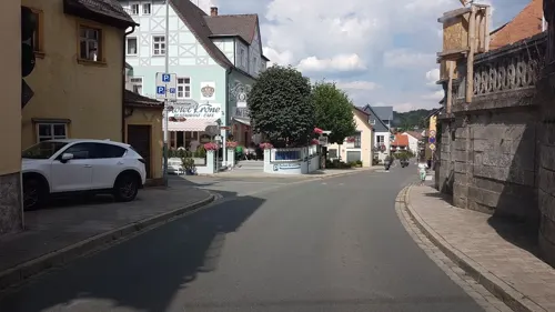
Wallfahrtsmuseum Gößweinstein
Museum · 5.1 km
easter-Nov 01: Tu-Su 10:00-17:00; Nov 02-easter: Su 10:00-17:00


Sophienhöhle
Monument and historic site · 6.6 km
Cave in Germany
Tu-Su 10:30-17:00

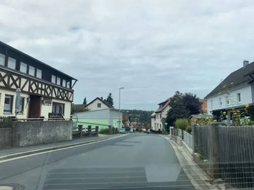
Zinnfigurenstube Kühlenfels
Museum · 4.0 km
41 Kühlenfelser Straße, Pottenstein
Mo-Fr 08:00-18:00; We,Sa 08:00-13:00

Alter Schlossberg
Monument and historic site · 8.4 km
Building in Ebermannstadt, Upper Franconia, Germany

Bärnfels Castle
Monument and historic site · 7.8 km
Cultural heritage monument D-4-74-156-13 (0) in Obertrubach, Bavaria

Baudenkmal
Monument and historic site · 9.5 km
Cultural heritage monument D-4-72-197-17 (0) in Waischenfeld, Bavaria


Burgruine
Monument and historic site · 7.4 km
Cultural heritage monument D-4-72-179-83 (0) in Pottenstein (Oberfranken), Bavaria
109 more on the map.
Parks, trails and playgrounds13

Erlebnisfelsen Pottenstein
Sports field and stadium · German · 1.2 km
50 Am Langen Berg, Pottenstein
Mar-Oct: 10:00-17:00; Nov-Feb: Su 09:00-16:00; Nov-Feb: Mo-Sa off

Juramar
Sports field and stadium
4 Am Kurzentrum, Pottenstein
Tu,Th,Fr 13:00-21:00; We 13:00-22:00; Su 13:00-19:00

Höhenschwimmbad Gößweinstein (Naturbad)
Sports field and stadium · 4.7 km
Mo-Su 10:00-19:00 "bei schönem Wetter"




1 more on the map.
Restaurants and cafes93

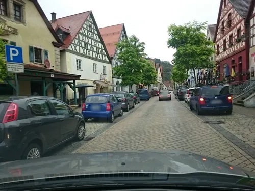
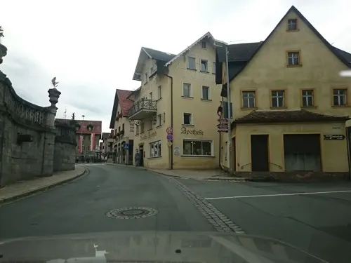
Krone
Restaurant · Regional · 5.1 km
9 Balthasar-Neumann-Straße, Gößweinstein
Mo,We-Su 11:00-20:00; Jan off; Dec off
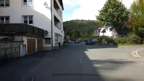
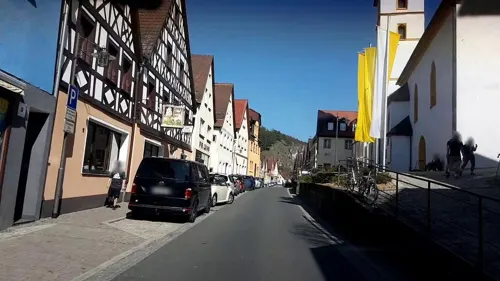
Zur Behringersmühle
Restaurant · Regional · 5.5 km
8, Gößweinstein
Sa-Mo,PH 11:30-14:00, 18:00-20:00, Th-Fr 18:00-20:00
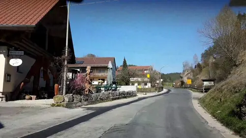
Forsterstube
Restaurant · Regional · 1.9 km
7 Haselbrunn, Pottenstein
Mo-Sa 17:00-23:00; Tu off; Su 10:00-23:00
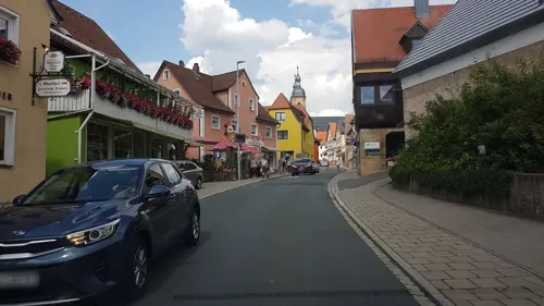
Gasthaus Pension Persau
Restaurant · Regional · 5.7 km
24 Püttlach, Pottenstein
Mo-Su 12:00-14:00,17:00-20:00; Th off
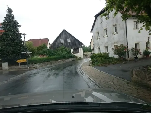
Gasthof Bauernschmitt
Restaurant · Regional · 3.2 km
25 St.-Johannes-Straße, Pottenstein
Mo-Fr 16:00-21:00; Sa-Su 11:00-21:00
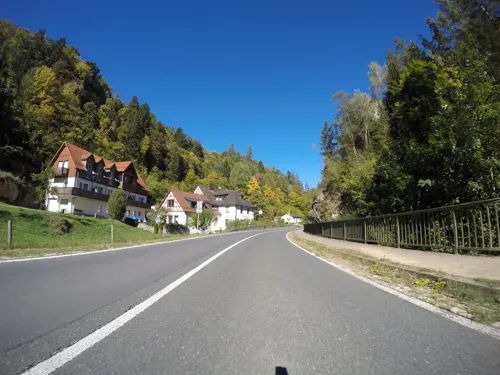


Gasthof und Pension Neumühle
Restaurant · Regional · 6.3 km
31, Ahorntal
Mo,We-Fr 15:00+ "warme Küche 17-20 Uhr"; Sa,Su,PH open "ganztägig...
81 more on the map.
History
During World War II, a subcamp of Flossenbürg concentration camp was located here.
From the History section of Pottenstein, Bavaria on Wikipedia, under CC BY-SA 4.0.
Where to stay50
Churches and places of worship40
Basilika zur Heiligsten Dreifaltigkeit
Church · Roman Catholic · 5.1 km
2 Balthasar-Neumann-Straße, Gößweinstein
St. Michaels- und Jakobuskirche
Church · Lutheran · 7.0 km
35, Ahorntal
Kunigundenkirche
Church · Catholic
33 Franz-Wittmann-Gasse, Pottenstein
Shopping16
Gas and EV charging4
Freie Tankstelle Schumann
Gas station · 4.5 km
43 Balthasar-Neumann-Straße, Gößweinstein
Schools, colleges and libraries3
Healthcare2
Map of Pottenstein
250 places. The map loads OpenStreetMap tiles when you open it.
Getting there and nearby towns
Verkehrslandeplatz Burg Feuerstein (URD) is the nearest airport with scheduled flights listed in OpenStreetMap, 20 km away.
- Pegnitz 10 km east, about 10 min by car
- Bayreuth 23 km northeast, about 23 min by car
- Forchheim 26 km west, about 26 min by car
- Hersbruck 29 km south, about 29 min by car
- Speichersdorf 29 km northeast, about 29 min by car
- Lauf an der Pegnitz 30 km south, about 30 min by car
- Hirschaid 30 km west, about 30 min by car
- Röthenbach an der Pegnitz 34 km south, about 34 min by car
- Erlangen 35 km southwest, about 35 min by car
- Nuremberg 43 km southwest, about 43 min by car
Drive times are estimates from straight-line distance, not routes.
Local news
Headlines from INDB.
Reviews, tips and questions
Loading what members have shared...
Sources and licences
- GeoNames (CC BY 4.0): population, coordinates, regions and time zone
- Mapillary (see each image): photos
- OpenStreetMap contributors (ODbL 1.0): places, airports, map data
- Wikidata (CC0 1.0): elevation, founding date, time zone, website, landmarks and historic places
- Wikimedia Commons (see each image): photos
- Wikipedia (CC BY-SA 4.0): overview and history text
Photo credits
- Pottenstein (HDR Aufnahmetechnik), Pegasus2, CC BY-SA 4.0
- Brewery Mager, production plant, Am Stadtgraben in Pottenstein, Nemracc, CC BY-SA 4.0
- Pottenstein (20794785235), Sergei Gussev, CC BY 2.0
- Part of the city wall, Am Stadtgraben in Pottenstein, Nemracc, CC BY-SA 4.0
- Brewery pub Mager, Hauptstraße 17 in Pottenstein, Nemracc, CC BY-SA 4.0
- Entrance of Brewery Mager, Hauptstr. 17 in Pottenstein, Nemracc, CC BY-SA 4.0
- Pottenstein St. Bartholomäus -20190610-RM-165609, Ermell, CC BY-SA 4.0
- Pottenstein Kirchentür-20190610-RM-172842, Ermell, CC BY-SA 4.0
- Pottenstein Kirchentür-20190610-RM-172849, Ermell, CC BY-SA 4.0
- Pottenstein Kirchentür-20190610-RM-172939, Ermell, CC BY-SA 4.0
- Pottenstein (20606794510), Sergei Gussev, CC BY 2.0
- Pottenstein Kriegerdenkmal-20190610-RM-172705, Ermell, CC BY-SA 4.0
- River Püttlach, near Am Stadtgraben in Pottenstein, Nemracc, CC BY-SA 4.0
- 2019-08-08 Pottenstein BraugasthofMager Ausleger, Robert Kropf, CC BY-SA 4.0
- Pottenstein Ölberggruppe-20190610-RM-172602, Ermell, CC BY-SA 4.0
- Pottenstein Statue Nepomuk-20190610-RM-172537, Ermell, CC BY-SA 4.0
- Pottenstein Tür-20190610-RM-172508, Ermell, CC BY-SA 4.0
- Pottenstein Grabplatte-20190610-RM-172550, Ermell, CC BY-SA 4.0
- River Püttlach in Pottenstein, Nemracc, CC BY-SA 4.0
- 91278 Pottenstein St Bartholomäus Figur, Uwe Barghaan, CC BY-SA 4.0
- Pottenstein Am Rathaus Nr.1-20190610-RM-173220, Ermell, CC BY-SA 4.0
- Pedestrian bridge over the river Püttlach towards the miniature golf course, Pottenstein, Nemracc, CC BY-SA 4.0
- Pottenstein Rathaus-20190610-RM-173332, Ermell, CC BY-SA 4.0
- Pottenstein (20854038041), Sergei Gussev, CC BY 2.0
- Pottenstein, Hauptstraße (3), Palickap, CC BY 4.0
- Pottenstein, Marktplatz, Brunnen, Palickap, CC BY 4.0
- Pottenstein, Blick von der Burg (2), Palickap, CC BY 4.0
- Pottenstein-Easter-foutain-P4194466, ermell, CC BY-SA 4.0
- Pottenstein-Easter-foutain-P4194468PS, ermell, CC BY-SA 4.0
- Pottenstein (20657719909), Sergei Gussev, CC BY 2.0
- Pottenstein (20817321326), Sergei Gussev, CC BY 2.0
- Pottenstein (20834883612), Sergei Gussev, CC BY 2.0
- Pottenstein (20222620923), Sergei Gussev, CC BY 2.0
- Historical gauging station, river Püttlach in Pottenstein, Nemracc, CC BY-SA 4.0
- Pottenstein, Burg, Zehntscheune, Palickap, CC BY 4.0
- Rear of the residential buildings, Hauptstr. 29 and 31 in Pottenstein, Nemracc, CC BY-SA 4.0
- 91278 Pottenstein St Kunigunde Altarbild 2 20250617, Uwe Barghaan, CC BY-SA 4.0
- Pottenstein mit Burg, vom Bayreuther Berg - geo.hlipp.de - 13905, Udo und Joan Fugel on geo.hlipp.de, CC BY-SA 2.0
- Church St. Kunigund in Pottenstein, Nemracc, CC BY-SA 4.0
- Sophienhöhle, Eingang, Rainer Lippert, Public domain
- Ringwall Schlossberg (Burggaillenreuth) 01, Sven-121, CC0
- Ruine-Bärnfels 2021-04-11 02, Franck-N, CC BY-SA 4.0
- Waischenfeld-Burg1-Asio, Asio otus, CC BY-SA 3.0
- Burgruine Leienfels01, Sven-121, CC0
- 00 3283 Naturpark Fränkische Schweiz - Teufelshöhle, W. Bulach, CC BY-SA 4.0
- 20120428 Kleiner Kulm-Berg, Wiki4Wikinger, CC BY-SA 3.0
- 00 3305 Gößweinstein (Oberfranken) - Burg Gößweinstein, W. Bulach, CC BY-SA 4.0
- Burgberg Pottenstein, 2, Rainer Lippert , bearbeitet durch Alchemist-hp This image was created with Hugin ., CC0
- Burg-Rabenstein 2021-02-28 05, Franck-N, CC BY-SA 4.0
- Kunigundenkirche außen 2, -- Xocolatl 16:04, 6 May 2008 (UTC), Public domain
- D-4-72-179-42 01, Derzno, CC BY-SA 3.0
- Klaussteinkapelle, Gliwi, CC BY-SA 3.0
- Hohenmirsberg-Aussichtsturm-P7171111, ermell, CC BY-SA 4.0
- D-4-72-175-45 01, Derzno, CC BY-SA 3.0
- Wohnstallhaus (Mandlau) 01, Kd6=dra, CC0
- D-4-72-179-20 01, Derzno, CC BY-SA 3.0
- Schlosskapelle St Maria Kohlstein D-4-74-129-43 (3), Harro, CC BY-SA 3.0
- Observation tower Himmelsleiter in Pottenstein 01, Nemracc, CC BY-SA 4.0
- Sängerhäuschen - panoramio, G. Zapf, CC BY 3.0
- Napoleonsfels 02, Derzno, CC BY-SA 3.0
- NSG Trockenhaenge Pottenstein 06, Derzno, CC BY-SA 3.0
- 163franken 093, Varus111, Public domain
- Herz Jesu Kirche Kleingesee D-4-74-129-41 (2), Harro, CC BY-SA 3.0
- Kirchahorn St. Michael und Jakobus -20190501-RM-164153, Ermell, CC BY-SA 4.0
- Kapelle Gößweinstein, Edelmauswaldgeist, CC0
- Gößweinstein-Votivkapelle, SchiDD, CC BY 3.0
- Felsenbad Pottenstein totale, Peter Hoch, Public domain
- Hotel Schwan, Am Kurzentrum 6 in Pottenstein, Nemracc, CC BY-SA 4.0
- Aussichtsturm Kleiner Kulm - panoramio, G. Zapf, CC BY 3.0
- Street-level photo, r66, CC BY-SA 4.0
- Street-level photo, voschix, CC BY-SA 4.0
- Street-level photo, voschix, CC BY-SA 4.0
- Street-level photo, r66, CC BY-SA 4.0
- Street-level photo, r66, CC BY-SA 4.0
- Street-level photo, r66, CC BY-SA 4.0
- Street-level photo, voschix, CC BY-SA 4.0
- Street-level photo, barentz, CC BY-SA 4.0
- Street-level photo, r66, CC BY-SA 4.0
- Street-level photo, voschix, CC BY-SA 4.0
- Street-level photo, r66, CC BY-SA 4.0
- Street-level photo, r66, CC BY-SA 4.0
- Street-level photo, r66, CC BY-SA 4.0
- Street-level photo, r66, CC BY-SA 4.0
- Street-level photo, r66, CC BY-SA 4.0
- Street-level photo, r66, CC BY-SA 4.0
- Street-level photo, voschix, CC BY-SA 4.0
- Street-level photo, rnissl, CC BY-SA 4.0
- Street-level photo, mapcreator, CC BY-SA 4.0
- Street-level photo, chhe, CC BY-SA 4.0
- Street-level photo, r66, CC BY-SA 4.0
- Street-level photo, r66, CC BY-SA 4.0
- Street-level photo, rnissl, CC BY-SA 4.0
- Street-level photo, voschix, CC BY-SA 4.0
- Street-level photo, r66, CC BY-SA 4.0


Page built November 9, 2026. Spotted a mistake? Tell us or suggest a place.