


Why visit Speichersdorf
Townapedia lists 27 museums and landmarks, 6 parks and trails, 13 places to eat, 4 places to stay and 10 attractions in and around town.
Highlights include Burgstall Schlosshügel, Haidenaaber-Steinkreuz, Naturerlebnisbad im Kemnather Land and Haidenaabtal und Gabellohe.
Weather in Speichersdorf
Forecast from MET Norway (CC BY 4.0). Full forecast
About Speichersdorf
Speichersdorf is a municipality in the district of Bayreuth in Upper Franconia in Bavaria, Germany. It is situated near the Fichtel Mountains, 18 km east of Bayreuth. It has a population of about 6,200.
From the Wikipedia article Speichersdorf (this version), under CC BY-SA 4.0.
Things to do10



Museums and landmarks27


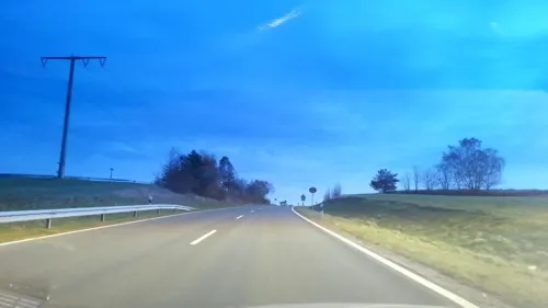

15 more on the map.
Parks, trails and playgrounds6



Hirschberg- und Heidweiher in der Gabellohe
Hiking and trails · 6.1 km


Restaurants and cafes13

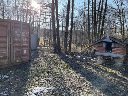
Gaststätte & Biergarten Deubzer
Restaurant · 6.1 km
1, Kirchenpingarten
Fr-Sa 16:00-23:00; Su 11:00-23:00; PH 11:00-23:00
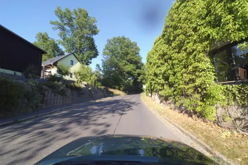
Landgasthof Imhof
Restaurant · 0.7 km
18 Kemnather Straße, Speichersdorf
Mo 18:00-21:30; Tu-Sa 11:30-14:00,17:30-21:30; Su 11:30-14:00;...




1 more on the map.
Where to stay4
Churches and places of worship17
Hl. Dreifaltigkeit
Church · Catholic · 0.8 km
27 Bayreuther Straße, Speichersdorf
Pfarrkirche St. Jakob der Ältere
Church · Catholic · 5.6 km
2 Kirchweg, Kirchenpingarten
St. Ägidius
Church · Catholic · 1.1 km
3 Friedhofstraße, Speichersdorf
Shopping4
Gas and EV charging3
Schools, colleges and libraries2
Healthcare1
Map of Speichersdorf
87 places. The map loads OpenStreetMap tiles when you open it.
Getting there and nearby towns
Verkehrslandeplatz Bayreuth (BYU) is the nearest airport with scheduled flights listed in OpenStreetMap, 16 km away.
- Bayreuth 17 km northwest, about 17 min by car
- Pegnitz 22 km southwest, about 22 min by car
- Wunsiedel 25 km northeast, about 25 min by car
- Marktredwitz 26 km northeast, about 26 min by car
- Windischeschenbach 28 km east, about 28 min by car
- Kulmbach 35 km northwest, about 35 min by car
- Münchberg 35 km north, about 35 min by car
- Schwarzenbach an der Saale 41 km north, about 41 min by car
- Sulzbach-Rosenberg 41 km south, about 41 min by car
- Selb 42 km northeast, about 42 min by car
Drive times are estimates from straight-line distance, not routes.
Local news
Headlines from INDB.
Reviews, tips and questions
Loading what members have shared...
Sources and licences
- GeoNames (CC BY 4.0): population, coordinates, regions and time zone
- Mapillary (see each image): photos
- OpenStreetMap contributors (ODbL 1.0): places, airports, map data
- Wikidata (CC0 1.0): elevation, founding date, time zone, website, landmarks and historic places
- Wikimedia Commons (see each image): photos
- Wikipedia (CC BY-SA 4.0): overview and history text
Photo credits
- Speichersdorf Bahnhof, Benreis, CC BY-SA 3.0
- Speichersdorf EK Orgel Hirnschrodt, Regerman, CC BY-SA 4.0
- Stierlein1791, Joh. Chr. Stierlein (1759 - 1827), Public domain
- Naturschutzgebiet Haidenaab 07, Nauswärdzzeit, CC BY-SA 4.0
- Kirchenpingarten St. Jakobus major, Benreis, CC BY-SA 3.0
- St. Ägidius in Kirchenlaibach, Benreis, CC BY-SA 3.0
- Pfarrkirche-Hl-Veronika Emtmannsberg-Birk, Berndpreiss.de, CC BY-SA 4.0
- Naturschutzgebiet Haidenaab 04, Nauswärdzzeit, CC BY-SA 4.0
- Kleiner Kulm bei Neustadt - panoramio, G. Zapf, CC BY 3.0
- Fenkenseeser Berg 1 - panoramio, G. Zapf, CC BY 3.0
- Bärenlöcher im März 1 - panoramio, G. Zapf, CC BY 3.0
- Street-level photo, geo, CC BY-SA 4.0
- Street-level photo, blue_lord, CC BY-SA 4.0
- Street-level photo, wegavision, CC BY-SA 4.0
- Street-level photo, r66, CC BY-SA 4.0
- Street-level photo, wegavision, CC BY-SA 4.0
- Street-level photo, SandStorm, CC BY-SA 4.0
- Street-level photo, wegavision, CC BY-SA 4.0
- Street-level photo, wegavision, CC BY-SA 4.0


Page built November 9, 2026. Spotted a mistake? Tell us or suggest a place.