


Sachsenheim, Germany
Sachsenheim is a town of 18,594 people in Baden-Wurttemberg, Germany.
Why visit Sachsenheim
Townapedia lists 133 museums and landmarks, 82 parks and trails, 168 places to eat, 13 places to stay and 26 attractions in and around town.
Highlights include Naturfundus Hofladen, Bauernladen Familie Weiberle, Hornmoldhaus and Museumsbunker Ro 1.
Weather in Sachsenheim
Forecast from MET Norway (CC BY 4.0). Full forecast
About Sachsenheim
Sachsenheim (German pronunciation: [ˈzaksn̩haɪm] ) is a town in the district of Ludwigsburg, Baden-Württemberg, Germany. It is situated 11 km northwest of Ludwigsburg.
From the Wikipedia article Sachsenheim (this version), under CC BY-SA 4.0.
Things to do26

Naturfundus Hofladen
Farm and orchard · 4.3 km
Honig aus Bietigheim. Leckeres Querbeet, vom Hof und drumherum, alles selbstgemacht. Walnussöl - auch Lohnpressung. Samstags Brot,...
5/4 Lettengrube, Bietigheim-Bissingen
Tu 16:30-18:00; Th 15:00-19:00; Sa 10:30-14:00
Bauernladen Familie Weiberle
Farm and orchard · 5.4 km
4 Vaihinger Straße, Sachsenheim
Mo,We-Fr 07:30-13:00,15:00-18:00; Tu,Sa 07:30-13:00; Su off

Bietigheim Enz Valley Viaduct
Bridge · 4.8 km
Railway bridge in Germany

Erlebnispark Tripsdrill
Monument and historic site · 8.4 km
Amusement park
Christians Freilandeier
Farm and orchard · 4.1 km
Eier, Nudeln, Eis
24/7
Kachler's Weinbau & Bauernhof - Selbstbedienungs-Ständle
Farm and orchard · 2.8 km
6 Talstraße, Markgröningen
24/7
Eigene Kartoffeln - Selbstbedienung
Farm and orchard · 2.5 km
72 Hauptraße, Markgröningen
24/7

14 more on the map.
Museums and landmarks133

Hornmoldhaus
Museum · 4.4 km
57 Hauptstraße, Bietigheim-Bissingen
We-Fr 13:45-17:45; Sa,Su,PH 10:45-17:45



Altes Pfarrhaus
Monument and historic site · 2.7 km
Denkmalgeschütztes Pfarrhaus in dem einst August Ludwig Reyscher geboren wurde.
34 Glemsstraße, Markgröningen
Stadtmuseum
Museum
29 Oberriexinger Straße, Sachsenheim
Tu,Su 14:00-18:00

Wasserschloss Sachsenheim
Monument and historic site
5 Äußerer Schloßhof, Sachsenheim
Mo-Fr 08:00-12:00; Tu 16:30-18:30; Th 14:00-16:00


121 more on the map.
Parks, trails and playgrounds82

EgeTrans Arena
Sports field and stadium · 4.2 km
Der sichtbare Name am Objekt hat keinen Bindestrich, in der Presse wird der Bindestrich verwendet.
40 Schwarzwaldstraße, Bietigheim-Bissingen

Bad am Viadukt
Sports field and stadium · 4.7 km
26 Holzgartenstraße
Oct-Apr: Tu,We,Fr 10:30-22:00; Oct-Apr: Th 06:00-22:00; Oct-Apr:...


Badepark Ellental
Sports field and stadium · 4.4 km
Mo-Th 09:00-21:00, Fr 06:00-21:00, Sa,Su,PH 08:00-02:00


Eichrain
Playground · 2.5 km
Apr 1-Oct 31 Mo-Sa 08:00-20:00; Apr 1-Oct 31 Su 10:00-20:00; Apr...

Talstraße
Playground · 3.2 km
Apr-Nov: Mo-Sa 08:00-20:00, Su,PH 10:00-20:00; Nov-Apr: Mo-Sa...
70 more on the map.
Restaurants and cafes168
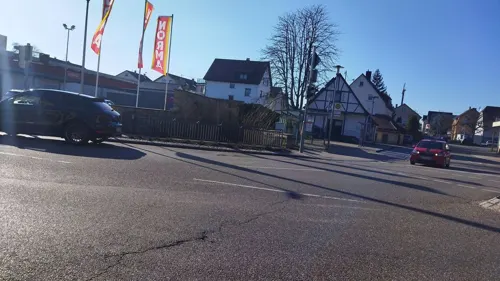
Alte Kelter
Restaurant · Regional, German, Swabian · 5.6 km
Wirtshaus & Eventlocation
16 Obere Straße, Löchgau
Th-Fr 17:00-23:00, Sa 11:30-23:00, Su 11:30-21:00

Kallisto
Restaurant · Greek · 0.7 km
Vereinsheim in der Steingrube
1 Steingrube, Sachsenheim
Mo-Fr 16:00-23:00; Sa,Su,PH 10:00-23:00
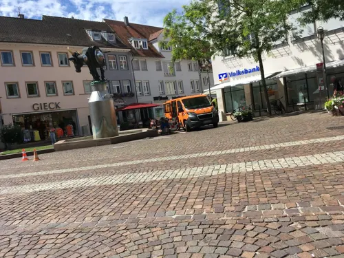
Kronenstuben
Restaurant · German · 4.8 km
5 Kronenplatz, Bietigheim-Bissingen
We-Sa 12:00-14:30,18:00-23:00; Su 12:00-14:30,17:30-22:00
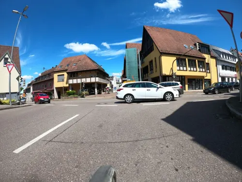
eco
Restaurant · German
Bio Gaststätte & Catering in Sachsenheim – natürlich . regional . nachhaltig
2 Lammstraße, Sachsenheim
We-Sa 17:30-21:00; Su 11:30-15:00, 17:00-20:00; Th 11:30-14:30
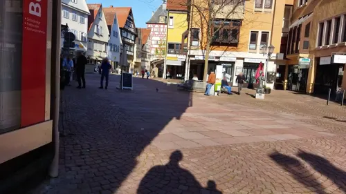
Agora Cafe Weinbar
Cafe · Coffee Shop, Greek · 4.6 km
26 Hauptstraße, Bietigheim-Bissingen
Su,Mo 10:00-21:30; We-Sa 10:00-23:00
Alpha Restaurant
Restaurant · Oriental · 4.5 km
2 Schieringerstraße, Bietigheim-Bissingen
Mo-Th,Su 09:00-22:00; Fr,Sa 09:00-23:00
Am Birkenwald
Restaurant · Regional, German · 5.2 km
1 Im Birkenwald
Mo-Tu 17:00-22:00; We-Th off; Fr-Sa 17:00-23:00; Su 11:00-15:00,17:00-22:00
Besen am Backhäusle
Restaurant · 2.4 km
Besen m kleinem Innenraum, großer Scheuer
1 Enge Gasse, Markgröningen
Mo,We-Fr 09:00-12:30,15:00-18:00; Sa 08:00-13:00

Café Mosh
Cafe · Coffee & Brunch, Cafe · 4.3 km
62 Hauptstraße, Bietigheim-Bissingen
Su - Th 10:00-22:00;Fr, Sa 10:00 - 23:00


Da Alfonso
Restaurant · Italian · 5.6 km
50 Friedrichstraße, Tamm
Mo-Fr 11:00-14:00,17:00-23:00; Sa 17:00-23:00; Su...
Da Enzo
Restaurant · Italian, Pizza, Pasta, Ice Cream · 4.5 km
6 Hauptstraße
Mo off; Tu-Fr 11:30-14:00,17:30-22:00; Sa 17:30-22:00; Su...
156 more on the map.
Where to stay13
Churches and places of worship44
Evangelische Pfarrkirche
Church · Lutheran · 2.7 km
32 Glemsstraße, Markgröningen
Evangelische Kirche
Church · Protestant · 5.6 km
10 Kirchstraße, Freudental
Kilianskirche
Church · Protestant · 2.7 km
7 Kirchstraße, Bietigheim-Bissingen
Neuapostolische Kirche
Church · New Apostolic · 5.2 km
14 Aischbachstraße, Sachsenheim
Shopping48
Gas and EV charging13
Schools, colleges and libraries27
Berufliches Schulzentrum Bietigheim-Bissingen
School · 4.5 km
10-12 Fischerpfad, Bietigheim-Bissingen
Evangelisches Lichtenstern-Gymnasium
School · Protestant · 0.6 km
34 Ludwigsburger Straße, Sachsenheim
Otto-Rombach-Bücherei (Stadtbücherei)
Library · 4.7 km
19 Hauptstraße, Bietigheim-Bissingen
Healthcare12
Schiller-Apotheke im Sand
Clinic and pharmacy · 5.1 km
17 Großingersheimer Straße, Bietigheim-Bissingen
Apotheke im Aurain
Clinic and pharmacy · 5.1 km
58 Stuttgarter Straße, Bietigheim-Bissingen
Map of Sachsenheim
250 places. The map loads OpenStreetMap tiles when you open it.
Getting there and nearby towns
Manfred Rommel Airport Stuttgart (STR) is the nearest airport with scheduled flights listed in OpenStreetMap, 32 km away.
- Bietigheim-Bissingen 4 km southeast, about 4 min by car
- Tamm 6 km southeast, about 6 min by car
- Markgröningen 6 km south, about 6 min by car
- Besigheim 7 km northeast, about 7 min by car
- Vaihingen an der Enz 8 km west, about 8 min by car
- Möglingen 9 km southeast, about 9 min by car
- Schwieberdingen 9 km south, about 9 min by car
- Ludwigsburg 12 km southeast, about 12 min by car
- Freiberg am Neckar 11 km east, about 11 min by car
- Brackenheim 13 km north, about 13 min by car
Drive times are estimates from straight-line distance, not routes.
Local news
Headlines from INDB.
Reviews, tips and questions
Loading what members have shared...
Sources and licences
- GeoNames (CC BY 4.0): population, coordinates, regions and time zone
- Mapillary (see each image): photos
- OpenStreetMap contributors (ODbL 1.0): places, airports, map data
- Wikidata (CC0 1.0): elevation, founding date, time zone, website, landmarks and historic places
- Wikimedia Commons (see each image): photos
- Wikipedia (CC BY-SA 4.0): overview and history text
Photo credits
- Sachsenheim-hohenhaslach-2005, No machine-readable author provided. Enslin assumed (based on copyright claims)., CC BY 2.5
- Luftaufnahme vom Schloss Sachsenheim, Aerial video capture, CC BY-SA 4.0
- Radschuhstein von Sachsenheim, Yeerge, CC BY 4.0
- Kleinsachsenheim, Ortseingang - geo.hlipp.de - 11491, K-H Lipp on geo.hlipp.de, CC BY-SA 2.0
- Trippsdrill, Freak-Line-Community, CC BY-SA 4.0
- AfrikahausFreiberg, Mussklprozz, CC BY-SA 3.0
- Keltengrabhuegel Hochdorf, Detlef Meissner, CC BY 2.5
- Aerial image of the Bietigheim Viaduct (view from the southeast), Carsten Steger, CC BY-SA 4.0
- Naturschutzwengert im NSG Leudelsbachtal, P. Fendrich, CC BY 3.0
- EgeTrans Arena 2012-12-26 steelers players jubilates with fans, Undeviginti, CC BY 3.0
- Bietigheim Eishalle, Björn Láczay from Moosburg, Germany, CC BY 2.0
- Bietigheim-Giebel des Hornmoldhauses, SteveK, CC BY 2.5
- KilianskircheBissingenWestansicht, Mussklprozz, CC BY-SA 3.0
- Sachsenheim 2012-04 by-RaBoe-83, © Ra Boe / Wikipedia - Create the proper attribution for your usage by clicking on this button! This file is licensed under the Creative Commons Attribution-Share Alike 3.0 Germany license...., CC BY-SA 3.0 de
- Bietigheim-Schloss-2018 MTh 5910, ( MTheiler ), CC BY-SA 4.0
- Naturschutzgebiet Unterer See und Umgebung bei Horrheim Vahingen Enz Sersheim Landkreis Ludwigsburg, Mussklprozz, CC BY-SA 3.0
- Altes Pfarrhaus Unterriexingen (Geburtshaus August Ludwig Reyschers), Pilettes, CC BY-SA 3.0
- Georgskirche Oberriexingen, Dg-505, CC BY 3.0
- Pfarrkirche Unterriexingen Nordfassade, P. Fendrich, CC BY 3.0
- Evangelische Kirche Freudental 23. August 2013, Felix König, CC BY 3.0
- St.-Georgs-Kirche Hohenhaslach Dezember 2013, Felix König, CC BY 3.0
- 04 Obere Straße 20, Großsachsenheim, Stadtkirche, Südseite, R.kaelcke, CC BY-SA 4.0
- Bi-Bi- Brunnen-1-07, Kamahele, CC BY-SA 3.0
- Bietigheim-Bissingen, Laurentiuskirche, Ĝù dis-le-moi 00:01, 1. Jul. 2008 (CEST), Public domain
- Hillerschule-Bietigheim MTh 5907, ( MTheiler ), CC BY-SA 4.0
- Katholische Kirche Unterriexingen, Pilettes, CC BY-SA 3.0
- Sersheim, Pfarrkirche St. Peter img593, Vux, CC BY-SA 4.0
- Altes Pfarrhaus Unterriexingen (Geburtshaus August Ludwig Reyschers), Pilettes, CC BY-SA 3.0
- Stolperstein Lydia Mack Bi-Bi Backhausstrasse 3 20170903, rolf_acker, CC BY-SA 4.0
- Evangelische Pfarrkirche Unterriexingen, Pilettes, CC BY-SA 3.0
- Frauenkirche Unterriexingen (Suedost-Ansicht), Pilettes, CC BY-SA 3.0
- Bi-Bi Viadukt, Ĝù dis-le-moi 00:15, 1. Jul. 2008 (CEST), Public domain
- Karte Neckar-Enz-Stellung, K. Jähne, Public domain
- KilianskircheBissingenSuedostansicht, Mussklprozz, CC BY-SA 3.0
- Lage NSG Leudelsbachtal vereinfacht, nur annaehernd, OpenStreetMap contributors and Pilettes, CC BY-SA 2.0
- 01 EgeTrans Arena, Lutz H, CC BY 2.0 de
- Bietigheimer-Schloss, Button1952, CC BY-SA 4.0
- 01 DJI 0024, DanielSchu und Jarek Piech https://www.archflytech.com/ ArchFlyTech, CC BY-SA 4.0
- Kirche in Oberriexingen von der Gaststätte Adler aus gesehen - panoramio, qwesy qwesy, CC BY 3.0
- WhatsApp test message, jfrigger, CC BY-SA 2.0
- Street-level photo, plexi32, CC BY-SA 4.0
- Street-level photo, changchun1, CC BY-SA 4.0
- Street-level photo, changchun1, CC BY-SA 4.0
- Street-level photo, electria, CC BY-SA 4.0
- Street-level photo, mfa, CC BY-SA 4.0
- Street-level photo, slabby, CC BY-SA 4.0
- Street-level photo, plexi32, CC BY-SA 4.0
- Street-level photo, 20jakob09, CC BY-SA 4.0
- Street-level photo, changchun1, CC BY-SA 4.0
- Street-level photo, changchun1, CC BY-SA 4.0
- Street-level photo, changchun1, CC BY-SA 4.0
- Street-level photo, bct, CC BY-SA 4.0
- Street-level photo, derzornigemarkus, CC BY-SA 4.0
- Street-level photo, mfa, CC BY-SA 4.0
- Street-level photo, Viator_Invisibilis, CC BY-SA 4.0
- Street-level photo, changchun1, CC BY-SA 4.0
- Street-level photo, plexi32, CC BY-SA 4.0


Page built November 8, 2026. Spotted a mistake? Tell us or suggest a place.