


Why visit Schladen
Townapedia lists 52 museums and landmarks, 4 parks and trails, 15 places to eat and 9 attractions in and around town.
Highlights include Schlangenfarm Schladen, Harliburg, Kaiserpfalz Werla and Okertal.
Weather in Schladen
Forecast from MET Norway (CC BY 4.0). Full forecast
About Schladen
Schladen (German pronunciation: [ˈʃlaːdn̩]) is a village and a former municipality in the district of Wolfenbüttel, in Lower Saxony, Germany. Since 1 November 2013, it is part of the municipality Schladen-Werla. It is situated on the river Oker, approx. 15 km south of Wolfenbüttel, and 25 km south of Braunschweig.
From the Wikipedia article Schladen (this version), under CC BY-SA 4.0.
Things to do9

Schlangenfarm Schladen
Zoo and aquarium · 1.0 km
5 Im Gewerbegebiet, Schladen-Werla
Mar Su[-1]-Oct Su[-1] -1 day: 10:00-18:00; Oct Su[-1]-Mar Su[-1]...

Museums and landmarks52


Royal palace of Werla
Monument and historic site · 2.0 km
10th century palace of the Holy Roman Empire, located in Lower Saxony




Archäologie- und Landschaftspark Kaiserpfalz Werla
Monument and historic site · 2.0 km
40 more on the map.
Parks, trails and playgrounds4



Restaurants and cafes15
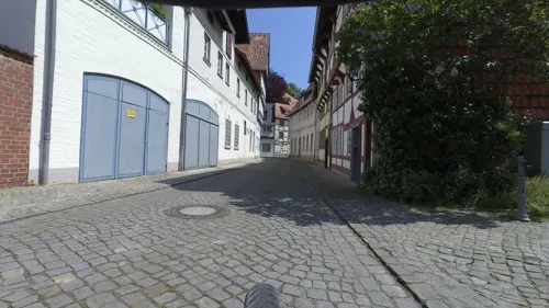
"La Rocca" - Eiskaffee & Pizzeria
Ice cream · Regional · 4.5 km
Mo, Tu, Fr-Su 11:00-19:30
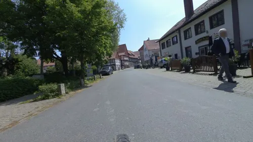
Bachus
Restaurant · Greek · 4.4 km
Mo,Tu off; We-Sa 17:00-22:30; Su,PH 11:30-14:30,17:00-22:30

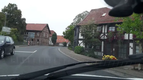
Restaurant Kreta
Restaurant
2 Harzstraße, Schladen-Werla
Mo-Sa off; Su 11:30-14:00,17:30-24:00
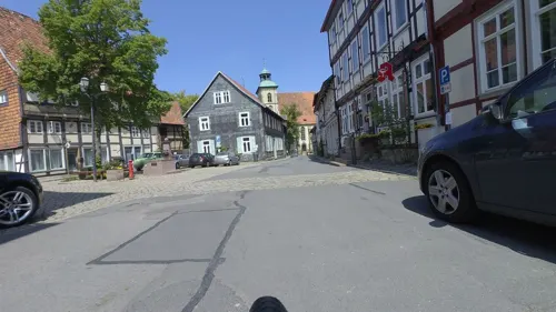
Café Zuckerblume
Bakery · 4.6 km
16 Marktstraße, Hornburg
We-Fr 09:00-13:00, Sa 09:00-12:00, Su 10:00-17:00, We-Fr 14:30-17:00

Heidebäckerei Meyer
Bakery · 0.8 km
1 Hermann-Müller-Straße, Schladen-Werla
Mo-Sa 07:00-20:00; Su 07:00-10:00
Restaurant Haus am See
Restaurant · Regional · 1.2 km
Insbesondere Schnitzel
2 Am Badeteich, Schladen-Werla

Landbäckerei Isensee
Bakery · 4.7 km
Mo-Fr 06:30-12:00; Tu-Fr 15:00-18:00; Sa 06:00-12:00


3 more on the map.
Churches and places of worship11
Shopping7
Gas and EV charging2
Schools, colleges and libraries5
Healthcare4
Werla-Apotheke
Clinic and pharmacy · 0.7 km
1 Hermann-Müller-Straße, Schladen-Werla
Map of Schladen
109 places. The map loads OpenStreetMap tiles when you open it.
Getting there and nearby towns
Forschungsflughafen Braunschweig-Wolfsburg (BWE) is the nearest airport with scheduled flights listed in OpenStreetMap, 33 km away.
- Vienenburg 8 km south, about 8 min by car
- Goslar 15 km southwest, about 15 min by car
- Wolfenbüttel 16 km north, about 16 min by car
- Bad Harzburg 16 km south, about 16 min by car
- Salzgitter 17 km northwest, about 17 min by car
- Langelsheim 17 km southwest, about 17 min by car
- Schöppenstedt 21 km northeast, about 21 min by car
- Wernigerode 27 km southeast, about 27 min by car
- Lengede 26 km northwest, about 26 min by car
- Braunschweig 27 km north, about 27 min by car
Drive times are estimates from straight-line distance, not routes.
Local news
Headlines from INDB.
Reviews, tips and questions
Loading what members have shared...
Sources and licences
- GeoNames (CC BY 4.0): population, coordinates, regions and time zone
- Mapillary (see each image): photos
- OpenStreetMap contributors (ODbL 1.0): places, airports, map data
- Wikidata (CC0 1.0): elevation, founding date, time zone, website, landmarks and historic places
- Wikimedia Commons (see each image): photos
- Wikipedia (CC BY-SA 4.0): overview and history text
Photo credits
- Luftaufnahme der Jahnstraße, Schladen - panoramio, Thotti22, CC BY 3.0
- Wedde, 5, Schladen, Schladen-Werla, Landkreis Wolfenbüttel, GeorgDerReisende, CC BY-SA 4.0
- Harzstraße 1, 1, Schladen, Schladen-Werla, Landkreis Wolfenbüttel, GeorgDerReisende, CC BY-SA 4.0
- Damm, 2, Schladen, Schladen-Werla, Landkreis Wolfenbüttel, GeorgDerReisende, CC BY-SA 4.0
- Harzstraße, 1, Schladen, Schladen-Werla, Landkreis Wolfenbüttel, GeorgDerReisende, CC BY-SA 4.0
- Harzstraße 2, 1, Schladen, Schladen-Werla, Landkreis Wolfenbüttel, GeorgDerReisende, CC BY-SA 4.0
- Linie 750, 3, Schladen, Schladen-Werla, Landkreis Wolfenbüttel, GeorgDerReisende, CC BY-SA 4.0
- Damm 19, 2, Schladen, Schladen-Werla, Landkreis Wolfenbüttel, GeorgDerReisende, CC BY-SA 4.0
- Damm, 1, Schladen, Schladen-Werla, Landkreis Wolfenbüttel, GeorgDerReisende, CC BY-SA 4.0
- Kirchstraße, 1, Schladen, Schladen-Werla, Landkreis Wolfenbüttel, GeorgDerReisende, CC BY-SA 4.0
- Damm 19, 1, Schladen, Schladen-Werla, Landkreis Wolfenbüttel, GeorgDerReisende, CC BY-SA 4.0
- Lindendamm 5, 1, Schladen, Schladen-Werla, Landkreis Wolfenbüttel, GeorgDerReisende, CC BY-SA 4.0
- Bushaltestelle Lindendamm, 1, Schladen, Schladen-Werla, Landkreis Wolfenbüttel, GeorgDerReisende, CC BY-SA 4.0
- Lindendamm 5, 2, Schladen, Schladen-Werla, Landkreis Wolfenbüttel, GeorgDerReisende, CC BY-SA 4.0
- Damm 26, 1, Schladen, Schladen-Werla, Landkreis Wolfenbüttel, GeorgDerReisende, CC BY-SA 4.0
- Sellhof 8, 3, Schladen, Schladen-Werla, Landkreis Wolfenbüttel, GeorgDerReisende, CC BY-SA 4.0
- Damm 26, 2, Schladen, Schladen-Werla, Landkreis Wolfenbüttel, GeorgDerReisende, CC BY-SA 4.0
- Bushaltestelle Markt, 3, Schladen, Schladen-Werla, Landkreis Wolfenbüttel, GeorgDerReisende, CC BY-SA 4.0
- Lindendamm 1, südwestliches Wirtschaftsgebäude, 1, Schladen, Schladen-Werla, Landkreis Wolfenbüttel, GeorgDerReisende, CC BY-SA 4.0
- Lindendamm 4, 1, Schladen, Schladen-Werla, Landkreis Wolfenbüttel, GeorgDerReisende, CC BY-SA 4.0
- Damm 15, 1, Schladen, Schladen-Werla, Landkreis Wolfenbüttel, GeorgDerReisende, CC BY-SA 4.0
- Markt, 1, Schladen, Schladen-Werla, Landkreis Wolfenbüttel, GeorgDerReisende, CC BY-SA 4.0
- Damm 14, 2, Schladen, Schladen-Werla, Landkreis Wolfenbüttel, GeorgDerReisende, CC BY-SA 4.0
- Damm 14, 1, Schladen, Schladen-Werla, Landkreis Wolfenbüttel, GeorgDerReisende, CC BY-SA 4.0
- Wildenhofgasse, 1, Schladen, Schladen-Werla, Landkreis Wolfenbüttel, GeorgDerReisende, CC BY-SA 4.0
- Markt 10, 1, Schladen, Schladen-Werla, Landkreis Wolfenbüttel, GeorgDerReisende, CC BY-SA 4.0
- Bushaltestelle Markt, 2, Schladen, Schladen-Werla, Landkreis Wolfenbüttel, GeorgDerReisende, CC BY-SA 4.0
- Schladen, die evangelische Kirche, Dguendel, CC BY 4.0
- Linie 750, 2, Schladen, Schladen-Werla, Landkreis Wolfenbüttel, GeorgDerReisende, CC BY-SA 4.0
- Sellhof, 1, Schladen, Schladen-Werla, Landkreis Wolfenbüttel, GeorgDerReisende, CC BY-SA 4.0
- Domäne Schladen 07, Rabanus Flavus, CC0
- Markt 8, 1, Schladen, Schladen-Werla, Landkreis Wolfenbüttel, GeorgDerReisende, CC BY-SA 4.0
- Bushaltestelle Markt, 1, Schladen, Schladen-Werla, Landkreis Wolfenbüttel, GeorgDerReisende, CC BY-SA 4.0
- Lindendamm 1, Stall, 1, Schladen, Schladen-Werla, Landkreis Wolfenbüttel, GeorgDerReisende, CC BY-SA 4.0
- Lindendamm 1, südwestliches Wirtschaftsgebäude, 2, Schladen, Schladen-Werla, Landkreis Wolfenbüttel, GeorgDerReisende, CC BY-SA 4.0
- Lindendamm 1, nördliches Wohnhaus, 1, Schladen, Schladen-Werla, Landkreis Wolfenbüttel, GeorgDerReisende, CC BY-SA 4.0
- Lindendamm 1, Brücke, 1, Schladen, Schladen-Werla, Landkreis Wolfenbüttel, GeorgDerReisende, CC BY-SA 4.0
- Wedde, 8, Schladen, Schladen-Werla, Landkreis Wolfenbüttel, GeorgDerReisende, CC BY-SA 4.0
- Wedde, 9, Schladen, Schladen-Werla, Landkreis Wolfenbüttel, GeorgDerReisende, CC BY-SA 4.0
- Lindendamm 1, westliches Wohnhaus, 1, Schladen, Schladen-Werla, Landkreis Wolfenbüttel, GeorgDerReisende, CC BY-SA 4.0
- Harliburg Burggelände uneben, Axel Hindemith, CC BY-SA 3.0
- WerlaWestturmVonSueden, Okernick, CC BY-SA 3.0
- Schladen Kirche kath, Kirchenfan, CC0
- Hornburg BMV 06, Rabanus Flavus, CC0
- Hornburg castle, Doris Antony , Berlin, CC BY-SA 3.0
- Werlaburgdorf Kirchstraße 04 NLD 34108818, Christian Forster, CC BY 4.0
- OkertalCIMG3571, Okernick, CC BY-SA 3.0
- BZ Burganlage Isingerode Foto Freese, Heinz-Dieter Freese, CC BY-SA 3.0
- Street-level photo, bielebog, CC BY-SA 4.0
- Street-level photo, bielebog, CC BY-SA 4.0
- Street-level photo, britiger, CC BY-SA 4.0
- Street-level photo, bielebog, CC BY-SA 4.0
- Street-level photo, britiger, CC BY-SA 4.0
- Street-level photo, britiger, CC BY-SA 4.0
- Street-level photo, britiger, CC BY-SA 4.0
- Street-level photo, britiger, CC BY-SA 4.0
- Street-level photo, bvblers, CC BY-SA 4.0
- Street-level photo, Hightower-, CC BY-SA 4.0
- Street-level photo, surveyor99, CC BY-SA 4.0
- Street-level photo, britiger, CC BY-SA 4.0
- Street-level photo, bielebog, CC BY-SA 4.0


Page built November 9, 2026. Spotted a mistake? Tell us or suggest a place.