


Why visit Schwarzenfeld
Townapedia lists 18 museums and landmarks, 13 parks and trails, 28 places to eat, 1 place to stay and 19 attractions in and around town.
Highlights include Haselberg, Mühlberg, Schloss Fronberg and Schloß Fronberg.
Weather in Schwarzenfeld
Forecast from MET Norway (CC BY 4.0). Full forecast
About Schwarzenfeld
Schwarzenfeld (German pronunciation: [ˈʃvaʁtsn̩ˌfɛlt]) is a municipality in the district of Schwandorf in Bavaria, Germany. Schwarzenfeld was first mentioned as “Suarzinvelt” on April 17, 1015 in a deed of gift from Emperor Henry II to the diocese of Bamberg. In 1890 Schwarzenfeld was elevated to market status.
From the Wikipedia article Schwarzenfeld (this version), under CC BY-SA 4.0.
Things to do19

7 more on the map.
Museums and landmarks18

Schloss Fronberg
Monument and historic site · 4.9 km
Château in Fronberg, former municipality, since 1972 quarter of Schwandorf, Schwandorf District, Upper Palatinate, Bavaria


6 more on the map.
Parks, trails and playgrounds13

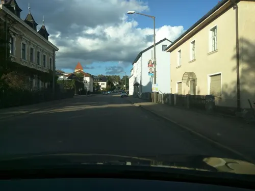


1 more on the map.
Restaurants and cafes28

Mio Naabucco
Restaurant · Italian · 0.7 km
18 Badeanger, Schwarzenfeld
Mo,We-Sa 17:00-22:30; Su,PH 11:00-14:00,17:00-22:30

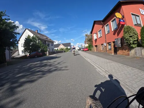
Wirtshaus / Cafe Anderl
Restaurant · 4.9 km
19 Hauptstraße, Schmidgaden
Fr-Sa 18:00-24:00; Su, PH 11:00-24:00
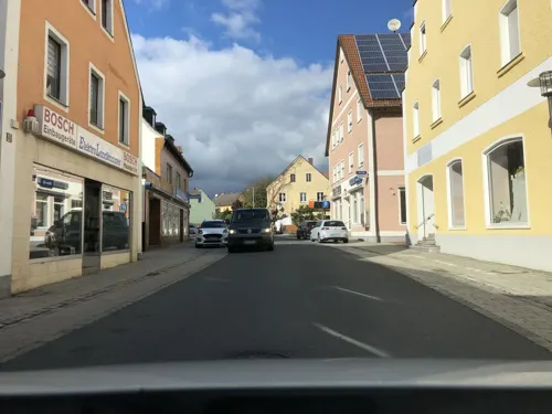
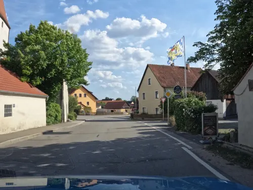
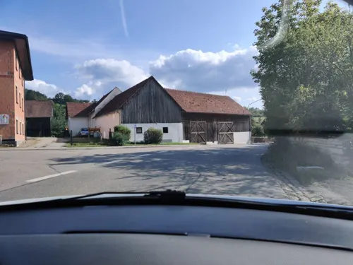
Pizzeria La Mira
Restaurant · Pizza, Italian · 5.3 km
15 Hauptstraße, Schwarzach b.Nabburg
Mo off; Tu-Sa 16:30-22:00; Su 11:30-22:00
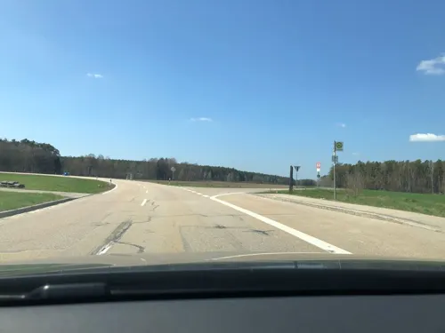

Lindner
Bakery
Täglich an 05:00 geöffnet
17 Hauptstraße, Schwarzenfeld
Mo-Su 05:00+
Restaurant Miesberg
Restaurant · Regional · 0.7 km
4 Klosterstraße, Schwarzenfeld
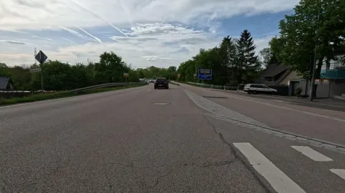


16 more on the map.
Where to stay1
Churches and places of worship17
St. Stephanus
Church · Roman Catholic · 3.8 km
24 Hauptstraße, Stulln
Shopping10
Gas and EV charging3
Schools, colleges and libraries4
Healthcare2
Map of Schwarzenfeld
115 places. The map loads OpenStreetMap tiles when you open it.
Getting there and nearby towns
Flugplatz Straubing-Wallmühle (RBM) is the nearest airport with scheduled flights listed in OpenStreetMap, 61 km away.
- Nabburg 8 km northeast, about 8 min by car
- Pfreimd 12 km north, about 12 min by car
- Wernberg-Köblitz 17 km north, about 17 min by car
- Kümmersbruck 18 km west, about 18 min by car
- Teublitz 19 km south, about 19 min by car
- Amberg 21 km west, about 21 min by car
- Maxhütte-Haidhof 21 km south, about 21 min by car
- Burglengenfeld 21 km south, about 21 min by car
- Hirschau 22 km northwest, about 22 min by car
- Oberviechtach 22 km east, about 22 min by car
Drive times are estimates from straight-line distance, not routes.
Local news
Headlines from INDB.
Reviews, tips and questions
Loading what members have shared...
Sources and licences
- GeoNames (CC BY 4.0): population, coordinates, regions and time zone
- Mapillary (see each image): photos
- OpenStreetMap contributors (ODbL 1.0): places, airports, map data
- Wikidata (CC0 1.0): elevation, founding date, time zone, website, landmarks and historic places
- Wikimedia Commons (see each image): photos
- Wikipedia (CC BY-SA 4.0): overview and history text
Photo credits
- 280505 schwarzenfeld-naabwehr 1-640x480, Luestling, CC BY-SA 3.0
- Schwarzenfeld Christuskirche Orgel, Regerman, CC BY-SA 4.0
- Schwarzenfeld 2022 015, Sebastian Wallroth, CC BY 4.0
- Schwarzenfeld Dionys und Ädigius um 1760 Andreas Weiss, User:Regerman, CC BY-SA 3.0
- Schwarzenfeld 2022 014, Sebastian Wallroth, CC BY 4.0
- Schwarzenfeld 2022 018, Sebastian Wallroth, CC BY 4.0
- Schwarzenfeld 2022 017, Sebastian Wallroth, CC BY 4.0
- Schwarzenfeld 2022 016, Sebastian Wallroth, CC BY 4.0
- Schwarzenfeld 2022 019, Sebastian Wallroth, CC BY 4.0
- Altes Schloss Schwarzenfeld 2022 005, Sebastian Wallroth, CC BY 4.0
- Schloßstraße 9 (Schwarzenfeld) 330, Kd6=dra, CC0
- Schloßstraße 9 (Schwarzenfeld) 350, Kd6=dra, CC0
- Altes Schloss Schwarzenfeld 2022 004, Sebastian Wallroth, CC BY 4.0
- Schwarzenfeld 2022 034, Unknown author Unknown author, Public domain
- Schwarzenfeld 2022 013, Sebastian Wallroth, CC BY 4.0
- Altes Schloss Schwarzenfeld 2022 001, Sebastian Wallroth, CC BY 4.0
- Altes Schloss Schwarzenfeld 2022 003, Sebastian Wallroth, CC BY 4.0
- Altes Schloss Schwarzenfeld 2022 002, Sebastian Wallroth, CC BY 4.0
- Schwarzenfeld 2022 005, Sebastian Wallroth, CC BY 4.0
- Schwarzenfeld 2022 006, Sebastian Wallroth, CC BY 4.0
- Schwarzenfeld 2022 007, Sebastian Wallroth, CC BY 4.0
- Schwarzenfeld 2022 008, Sebastian Wallroth, CC BY 4.0
- Schwarzenfeld 2022 004, Sebastian Wallroth, CC BY 4.0
- Schwarzenfeld 2022 010, Sebastian Wallroth, CC BY 4.0
- Schwarzenfeld 2022 009, Sebastian Wallroth, CC BY 4.0
- Schwarzenfeld 2022 003, Sebastian Wallroth, CC BY 4.0
- Schwarzenfeld 2022 012, Sebastian Wallroth, CC BY 4.0
- Schwarzenfeld 2022 011, Sebastian Wallroth, CC BY 4.0
- Bahnhofstraße 41 (Schwarzenfeld), Kd6=dra, CC BY-SA 4.0
- Altes Schloss Schwarzenfeld 2022 006, Sebastian Wallroth, CC BY 4.0
- Altes Schloss Schwarzenfeld 2022 008, Sebastian Wallroth, CC BY 4.0
- Altes Schloss Schwarzenfeld 2022 007, Sebastian Wallroth, CC BY 4.0
- Altes Schloss Schwarzenfeld 2022 012, Sebastian Wallroth, CC BY 4.0
- Altes Schloss Schwarzenfeld 2022 013, Sebastian Wallroth, CC BY 4.0
- Schwarzenfeld 2022 002, Sebastian Wallroth, CC BY 4.0
- Schwarzenfeld 2022 001, Sebastian Wallroth, CC BY 4.0
- Altes Schloss Schwarzenfeld 2022 009, Sebastian Wallroth, CC BY 4.0
- Schloss-fronberg, Matthias Süß, CC BY-SA 3.0
- Aerial image of the Dreifaltigkeitskirche in Schwarzenfeld (view from the south), Carsten Steger, CC BY-SA 4.0
- 270505 schwarzenfeld-alte-pfarrkirche-innen 1-480x640, Luestling, CC BY-SA 3.0
- Dürnsricht 004, Heinrich Becher, CC BY-SA 4.0
- Wölsendorf Kirche 01, A. Köppl, CC BY 3.0
- St Albertus Magnus - Dürnsricht 001, DALIBRI, CC BY-SA 4.0
- Christuskirche - Schwarzenfeld 001, DALIBRI, CC BY-SA 4.0
- Mariä Himmelfahrt - Schwarzenfeld 001, DALIBRI, CC BY-SA 4.0
- Charlottenhofer Weihergebiet 07 08 2016 01, Alois Köppl, Gleiritsch (= Zusatz), CC BY 4.0
- Stulln 2023 13, Alois Köppl, Gleiritsch, CC BY 3.0
- Street-level photo, PrinzRoland, CC BY-SA 4.0
- Street-level photo, foxconn11, CC BY-SA 4.0
- Street-level photo, foxconn11, CC BY-SA 4.0
- Street-level photo, rnissl, CC BY-SA 4.0
- Street-level photo, foxconn11, CC BY-SA 4.0
- Street-level photo, foxconn11, CC BY-SA 4.0
- Street-level photo, foxconn11, CC BY-SA 4.0
- Street-level photo, vadi, CC BY-SA 4.0
- Street-level photo, foxconn11, CC BY-SA 4.0
- Street-level photo, foxconn11, CC BY-SA 4.0
- Street-level photo, foxconn11, CC BY-SA 4.0
- Street-level photo, foxconn11, CC BY-SA 4.0
- Street-level photo, rnissl, CC BY-SA 4.0
- Street-level photo, seb1982, CC BY-SA 4.0
- Street-level photo, foxconn11, CC BY-SA 4.0
- Street-level photo, PrinzRoland, CC BY-SA 4.0
- Street-level photo, PrinzRoland, CC BY-SA 4.0
- Street-level photo, foxconn11, CC BY-SA 4.0
- Street-level photo, rnissl, CC BY-SA 4.0


Page built November 9, 2026. Spotted a mistake? Tell us or suggest a place.