


Why visit Sickte
Townapedia lists 5 museums and landmarks, 8 parks and trails, 25 places to eat, 3 places to stay and 11 attractions in and around town.
Highlights include Hofladen Bosse, Hof Glindemann, Freibad am Elm and Herzogsberge.
Weather in Sickte
Forecast from MET Norway (CC BY 4.0). Full forecast
About Sickte
Sickte (German pronunciation: [ˈzɪktə] ) is a municipality in the district of Wolfenbüttel, in Lower Saxony, Germany. It is situated west of the Elm, approx. 10 km northeast of Wolfenbüttel, and 10 km southeast of Braunschweig.
From the Wikipedia article Sickte (this version), under CC BY-SA 4.0.
Things to do11
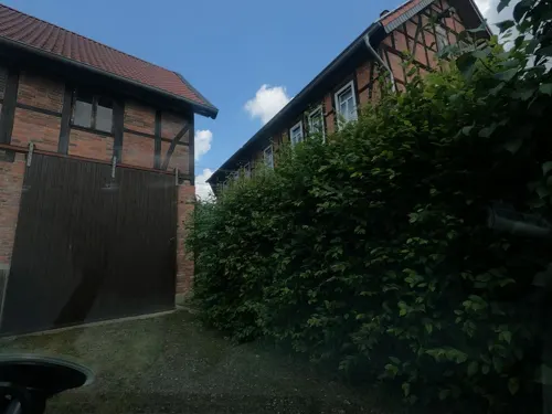
Hofladen Bosse
Farm and orchard · 4.4 km
1 Kleegasse, Braunschweig
Tu 10:00-12:00,17:00-19:00; Fr 10:00-12:00,15:00-18:00; Sa...


Museums and landmarks5


Meilenstein
Monument and historic site · 3.5 km
Meilenstein, südlich der B 1 am Rand eines ehemaligen Parkplatz östlich von Cremlingen
Parks, trails and playgrounds8

Freibad am Elm
Sports field and stadium · 4.2 km
1 An der Badeanstalt, Cremlingen
May-Jun, Sep: 10:00-19:00; Jul-Aug 09:00-20:00; PH off



Restaurants and cafes25


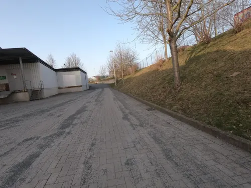
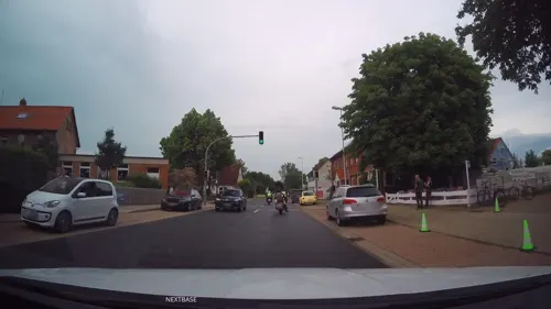
Eiszeit
Ice cream · 4.4 km
5 Braunschweiger Straße, Wolfenbüttel
Tu-Th 13:00-18:00; Fr-Su 12:00-18:00; Mo off
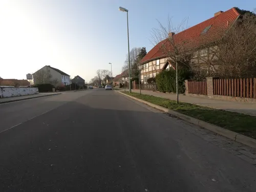
Gasthaus bei Chris
Restaurant · German, Greek · 3.5 km
17 Hauptstraße, Cremlingen
Mo off; Tu-We,Fr-Sa 17:00-24:00; Th,Su 12:00-15:00,17:00-23:00

HofZeit - Glutenfreie Manufaktur
Bakery · 4.5 km
Verkauf der frischen, glutenfreien Backwaren, Donnerstag ab 11:00 Uhr! Vorbestellungen bitte bis Mittwoch, 12:00 Uhr...
4 Vor dem Kreuze, Braunschweig
Mo,Tu 09:30-13:00,16:00-18:00; Th,Fr 09:30-18:00; Sa 09:00-13:00
Sportheim-Gaststätte
Restaurant · German
Mo 17:00+; We-Sa 17:00+; Su 11:00+; Tu off
Cadera
Cafe · 3.7 km
3a Im Moorbusche, Cremlingen
Mo-Sa 06:00-18:00; Su,PH 07:30-17:00; May 01 off
Elm-Cafe
Cafe
3 Schöninger Straße, Sickte
Mo-Fr 05:00-18:00; Sa 06:00-18:00; Su,PH 07:00-18:00


sander's backstube
Bakery
1 Triftweg, Sickte
Mo-Fr 06:00-18:30; Sa 06:00-18:00; Su 08:00-18:00
13 more on the map.
Where to stay3
Churches and places of worship14
St. Remigius
Church · Lutheran · 2.9 km
6 Kirchstraße, Veltheim (Ohe)
Shopping12
Gas and EV charging1
Schools, colleges and libraries4
Healthcare4
Map of Sickte
87 places. The map loads OpenStreetMap tiles when you open it.
Getting there and nearby towns
Forschungsflughafen Braunschweig-Wolfsburg (BWE) is the nearest airport with scheduled flights listed in OpenStreetMap, 13 km away.
- Cremlingen 3 km north, about 3 min by car
- Braunschweig 9 km northwest, about 9 min by car
- Wolfenbüttel 9 km southwest, about 9 min by car
- Hondelage 11 km north, about 11 min by car
- Broitzem 11 km west, about 11 min by car
- Königslutter am Elm 12 km east, about 12 min by car
- Lehre 12 km north, about 12 min by car
- Schöppenstedt 12 km southeast, about 12 min by car
- Salzgitter 17 km southwest, about 17 min by car
- Vechelde 19 km west, about 19 min by car
Drive times are estimates from straight-line distance, not routes.
Local news
Headlines from INDB.
Reviews, tips and questions
Loading what members have shared...
Sources and licences
- GeoNames (CC BY 4.0): population, coordinates, regions and time zone
- Mapillary (see each image): photos
- OpenStreetMap contributors (ODbL 1.0): places, airports, map data
- Wikidata (CC0 1.0): elevation, founding date, time zone, website
- Wikimedia Commons (see each image): photos
- Wikipedia (CC BY-SA 4.0): overview and history text
Photo credits
- Sickte-Kirche., Elmschrat, CC BY-SA 3.0
- Herzogsberge201710 4, Okernick, CC0
- Dorfkirche-schulenrode-1, Elmschrat, CC BY-SA 3.0
- Dorfkirche-veltheim-1, Elmschrat, CC BY-SA 3.0
- Kirche Salzdahlum Turm 1, Ziegenbein, CC BY-SA 3.0
- 2010-hemkenrode-church, Elmschrat, CC BY-SA 3.0
- Cremlingen B1 Meilenstein, Radler59 ( talk ), CC BY-SA 4.0
- DEU Niedersachsen Lucklum 250719 007, ClausNe, CC BY-SA 4.0
- Veltheim Kirche kath, Kirchenfan, CC0
- Hoetzum St Petri-Kirche, TeWeBs, CC BY-SA 3.0
- Neuerkerode Kirche, Kirchenfan, CC0
- OhebachSüd, Okernick, CC0
- OhebachNord, Okernick, CC0
- Neuerkerode 2016-1, Kirchenfan, CC0
- Reh, das auf Ackerland weidet (Deer grazing on farmland) - geo.hlipp.de - 19762, Gregory Smith on geo.hlipp.de, CC BY-SA 2.0
- Cowboy 3 pedelec in a forest, Elmschrat, CC BY-SA 4.0
- VeronikaseeSüdseite201907, Okernick, CC BY-SA 4.0
- Losebach P1080025 2021, Okernick, CC BY-SA 4.0
- Street-level photo, sunnyteater, CC BY-SA 4.0
- Street-level photo, Schmarvis, CC BY-SA 4.0
- Street-level photo, u14183, CC BY-SA 4.0
- Street-level photo, u14183, CC BY-SA 4.0
- Street-level photo, u14183, CC BY-SA 4.0
- Street-level photo, u14183, CC BY-SA 4.0
- Street-level photo, u14183, CC BY-SA 4.0
- Street-level photo, u14183, CC BY-SA 4.0
- Street-level photo, Schmarvis, CC BY-SA 4.0
- Street-level photo, Schmarvis, CC BY-SA 4.0
- Street-level photo, Schmarvis, CC BY-SA 4.0
- Street-level photo, u14183, CC BY-SA 4.0
- Street-level photo, m4p1ll4ry, CC BY-SA 4.0
- Street-level photo, tian, CC BY-SA 4.0
- Street-level photo, u14183, CC BY-SA 4.0
- Street-level photo, moenk, CC BY-SA 4.0
- Street-level photo, AR88, CC BY-SA 4.0
- Street-level photo, Schmarvis, CC BY-SA 4.0
- Street-level photo, u14183, CC BY-SA 4.0
- Street-level photo, u14183, CC BY-SA 4.0


Page built November 9, 2026. Spotted a mistake? Tell us or suggest a place.