


Why visit Hondelage
Townapedia lists 8 museums and landmarks, 4 parks and trails, 11 places to eat and 2 attractions in and around town.
Highlights include Bio Hofladen Klostergut Dibbesdorf, Borwall, Natur Erlebnis Zentrum Hondelage and Tierpark Essehof.
Weather in Hondelage
Forecast from MET Norway (CC BY 4.0). Full forecast
About Hondelage
Hondelage (German pronunciation: [ˈhɔndəlaːɡə]) is a Stadtbezirk (borough) on the river Schunter in the north-eastern part of Braunschweig, Germany.
From the Wikipedia article Hondelage (this version), under CC BY-SA 4.0.
Things to do2
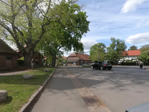
Bio Hofladen Klostergut Dibbesdorf
Farm and orchard · 1.7 km
5 Am Markt
We 10:00-13:00,15:00-18:00; Th 15:00-18:00; Fr 10:00-19:00; Sa 09:00-13:00

Museums and landmarks8



Wasserschloss Wendhausen
Monument and historic site · 1.9 km
19 Hauptstraße, Lehre


Parks, trails and playgrounds4

Tierpark Essehof
Park · 4.1 km
Zoo in Lehre, Landkreis Helmstedt, Germany

Restaurants and cafes11
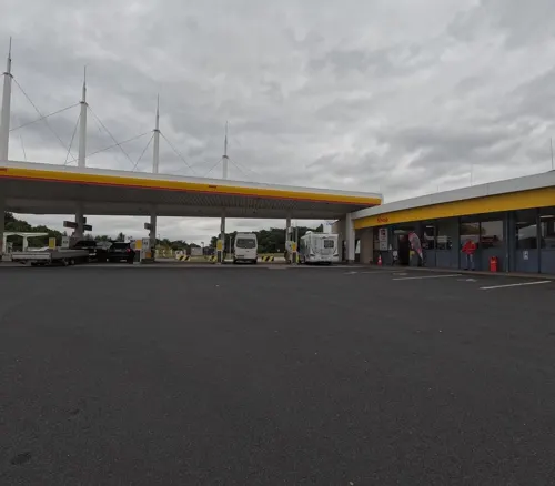
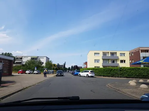

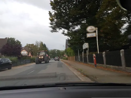
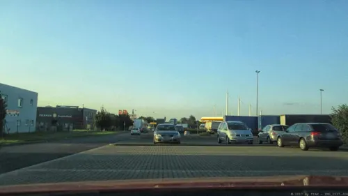
Burger King
Fast food · Burger · 2.0 km
1 In den Lohbalken, Lehre
Mo-Th,Su,PH 09:00-23:00; Fr-Sa 09:00-24:00
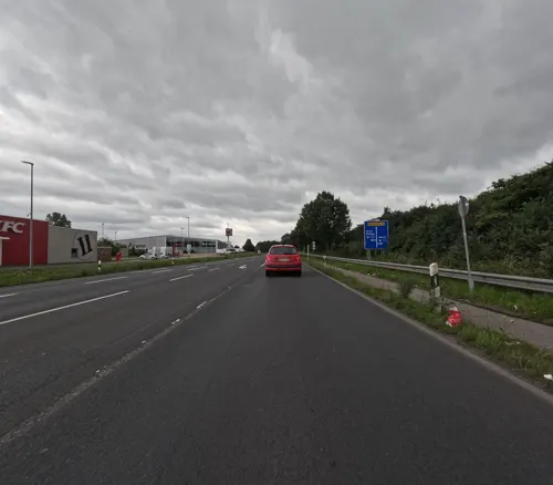

ASIA POINT
Fast food · Chinese · 1.9 km
1 Berliner Heerstraße, Lehre
Mo,Tu off; We-Su,PH 11:30-14:30,17:00-21:00
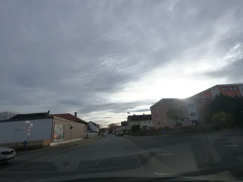


Palmiye Imbiss
Fast food · Turkish, Kebab
12 Dammstraße, Braunschweig
Mo-Su 11:00-21:30
History
The village of Hondelage was first mentioned in documents in 1179. During the early 16th century, the farming village became property of the Imperial abbey Riddagshausen. In 1974, Hondelage, until then part of the disbanded rural district of Braunschweig, was incorporated into the city of Braunschweig and became a city district.
Numerous fossils have been found in the Posidonia Shale of Hondelage, including Ichthyosaurus and Steneosaurus. Hondelagia, an extinct genus of snakefly, is named after Hondelage, the only place it has been found so far.
From the History section of Hondelage on Wikipedia, under CC BY-SA 4.0.
Churches and places of worship5
Shopping2
Gas and EV charging5
Schools, colleges and libraries3
Healthcare1
Map of Hondelage
41 places. The map loads OpenStreetMap tiles when you open it.
Getting there and nearby towns
Forschungsflughafen Braunschweig-Wolfsburg (BWE) is the nearest airport with scheduled flights listed in OpenStreetMap, 3 km away.
- Lehre 5 km east, about 5 min by car
- Braunschweig 8 km southwest, about 8 min by car
- Cremlingen 8 km southeast, about 8 min by car
- Rethen 11 km northwest, about 11 min by car
- Isenbüttel 14 km north, about 14 min by car
- Wendeburg 15 km west, about 15 min by car
- Wolfsburg 17 km northeast, about 17 min by car
- Königslutter am Elm 16 km southeast, about 16 min by car
- Wolfenbüttel 17 km south, about 17 min by car
- Vechelde 17 km west, about 17 min by car
Drive times are estimates from straight-line distance, not routes.
Local news
Headlines from INDB.
Reviews, tips and questions
Loading what members have shared...
Sources and licences
- GeoNames (CC BY 4.0): population, coordinates, regions and time zone
- Mapillary (see each image): photos
- OpenStreetMap contributors (ODbL 1.0): places, airports, map data
- Wikidata (CC0 1.0): elevation, founding date, time zone, website, landmarks and historic places
- Wikimedia Commons (see each image): photos
- Wikipedia (CC BY-SA 4.0): overview and history text
Photo credits
- BS Hondelage Sternwarte, TeWeBs, CC BY-SA 3.0
- BS Feuerwehr Hondelage, TeWeBs, CC BY-SA 3.0
- BS Hondelage Kriegerdenkmal, TeWeBs, CC BY-SA 4.0
- Schunter InfotafelRenaturierung Hondelage, aquaplaner-Ingenieurgesellschaft im Auftrag der Stadt Braunschweig, CC BY-SA 3.0
- 2-Wasserbüffel Hondelage, Elmschrat, CC BY-SA 4.0
- 3-Wasserbüffel Hondelage, Elmschrat, CC BY-SA 4.0
- 1-Wasserbüffel Hondelage, Elmschrat, CC BY-SA 4.0
- Tierpark Essehehof Eingang, J.Brodhagen, CC BY-SA 3.0
- Lehre Kirche, Kirchenfan, CC0
- Wendhausen Schloss Westen, AxelHH at de.wikipedia, Public domain
- Wendhausen Kirche St. Martin, Kirchenfan, CC0
- Borwall 1879, Benutzer:AxelHH, Public domain
- BS St Johannes Kirche, TeWeBs, CC BY-SA 4.0
- BS Gedenkstein Voelkerschlacht, TeWeBs, CC BY-SA 4.0
- BS St Johannes Kirche Innenansicht, TeWeBs, CC BY-SA 4.0
- BS Haltestelle Berggarten, TeWeBs, CC BY-SA 4.0
- BS Dibbesdorf Bhf, TeWeBs, CC BY-SA 4.0
- Aerial image of the Braunschweig-Wolfsburg airport, Carsten Steger, CC BY-SA 4.0
- RohrbruchgrabenP1020270, Okernick, CC BY-SA 4.0
- RohrbruchgrabenP1020272, Okernick, CC BY-SA 4.0
- RohrbruchgrabenInfoTafel, Okernick, CC BY-SA 4.0
- BS Feuerwehr Dibbesdorf, TeWeBs, CC BY-SA 3.0
- BS Lueddeweg 10, TeWeBs, CC BY-SA 4.0
- Querumer Holz 20240609, Stratokumulus, CC BY 4.0
- BS Mergelgrube, TeWeBs, CC BY-SA 4.0
- BS Friedhof Hondelage Kapelle, TeWeBs, CC BY-SA 4.0
- Street-level photo, hawkar, CC BY-SA 4.0
- Street-level photo, tian, CC BY-SA 4.0
- Street-level photo, u14183, CC BY-SA 4.0
- Street-level photo, natebus, CC BY-SA 4.0
- Street-level photo, bvblers, CC BY-SA 4.0
- Street-level photo, natebus, CC BY-SA 4.0
- Street-level photo, natebus, CC BY-SA 4.0
- Street-level photo, natebus, CC BY-SA 4.0
- Street-level photo, ankeric, CC BY-SA 4.0
- Street-level photo, Langfahrer, CC BY-SA 4.0
- Street-level photo, bvblers, CC BY-SA 4.0
- Street-level photo, natebus, CC BY-SA 4.0
- Street-level photo, hawkar, CC BY-SA 4.0
- Street-level photo, Langfahrer, CC BY-SA 4.0
- Street-level photo, u14183, CC BY-SA 4.0
- Street-level photo, hawkar, CC BY-SA 4.0
- Street-level photo, Langfahrer, CC BY-SA 4.0


Page built November 9, 2026. Spotted a mistake? Tell us or suggest a place.