


Why visit Solms
Townapedia lists 50 museums and landmarks, 19 parks and trails, 92 places to eat, 17 places to stay and 10 attractions in and around town.
Highlights include Freilichtbühne Bonbaden, Fürstlicher Tiergarten Braunfels, Schloß Braunfels and Besucherbergwerk Grube Fortuna.
Weather in Solms
Forecast from MET Norway (CC BY 4.0). Full forecast
About Solms
Solms (German pronunciation: [zɔlms] ) is a town west of Wetzlar in the Lahn-Dill-Kreis, Hessen, Germany with around 13,500 inhabitants as of 2024. In the constituent community of Burgsolms once stood the ancestral castle of the Counts and Princes of Solms.
From the Wikipedia article Solms (this version), under CC BY-SA 4.0.
Things to do10


Fürstlicher Tiergarten Braunfels
Zoo and aquarium · 3.8 km
26 Tiergartenstraße, Braunfels
Mo-Su 10:00-18:00


Waldlädchen - Norbert Paal
Farm and orchard · 1.0 km
29 Clara-Schumann-Straße, Solms
Museums and landmarks50


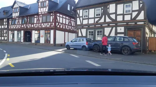

Hofgut Magdalenenhausen
Monument and historic site · 4.6 km
100 Magdalenenhäuser Weg, Wetzlar
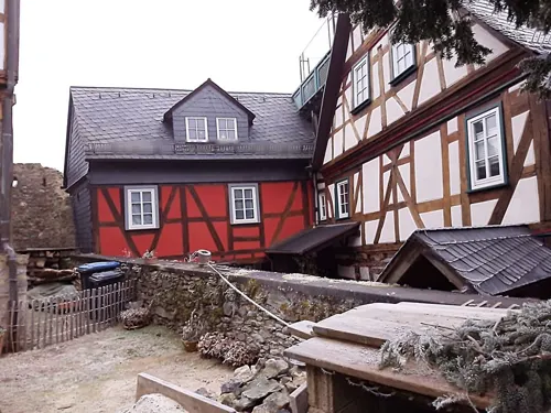

Stollen Würgengel
Monument and historic site · 4.6 km
Mundloch erhalten, Stollen verschüttet, ehemals Wasserlösung


38 more on the map.
Parks, trails and playgrounds19



Golf Club Schloss Braunfels
Golf course · 3.3 km
Homburger Hof, Braunfels
sunrise-sunset


Bauernhof und mehr
Sports field and stadium · 3.9 km
4 Sportanlage, Braunfels
7 more on the map.
Restaurants and cafes92
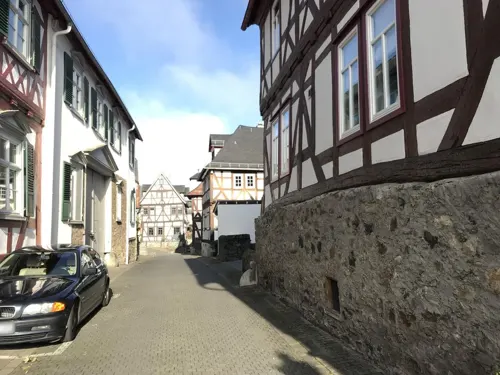
Zum Solmser Hof
Restaurant · Greek · 2.7 km
1 Marktplatz, Braunfels
Tu-Fr 18:00-21:00; Sa,Su 12:00-15:00,18:00-21:00
Café Vogel
Cafe · Cake · 2.6 km
1 Fürst-Ferdinand-Straße, Braunfels
Mo-Fr 09:00-17:30; Sa-Su 08:00-17:30
GEORGIE’S RESTAURANT im Bistro am Schloss
Restaurant · International · 2.8 km
4 Schloßstraße, Braunfels
Tu-Su 16:00-22:00
L'Amira - Events, Restaurant & Catering
Restaurant · Afghan, Persian · 5.0 km
37 Siegmund-Hiepe-Straße, Wetzlar
Tu-Th 11:30-14:30,17:00-22:00; Fr-Su 17:00-22:00
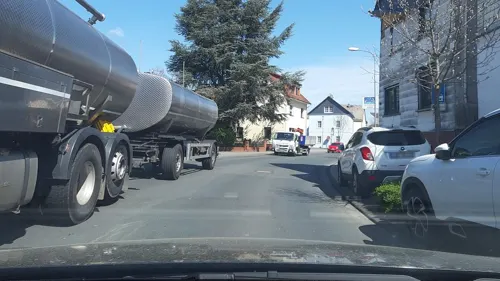
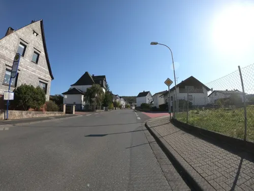
La Stella Solms
Restaurant · Italian, German · 2.2 km
55 Bahnhofstraße, Solms
Mo-Sa 10:30-14:15, 16:30-23:30, Su 10:30-23:00
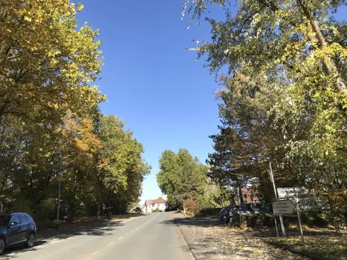
Memoria
Restaurant · Mediterranean
20 Oberndorfer Straße, Solms
Tu-Su,PH 11:30-14:00, 17:00-22:30; Mo off
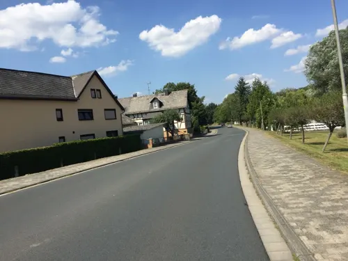


Pizzeria Germania
Restaurant · Italian · 4.4 km
1 Solmsbachstraße, Braunfels
Mo-Sa 11:30-14:30,17:30-23:00; Su 11:00-14:30,17:00-23:00

Pizzeria Pizza Pie
Restaurant · Italian · 1.8 km
3 Alte Leuner Straße, Braunfels
Tu-Su 11:30-14:30,17:30-23:00
Restaurant Zum Turm
Restaurant · German · 2.8 km
11 Marktplatz, Braunfels
Mo,Th-Fr 12:00-14:00,18:00-22:00; Sa-Su 12:00-22:00; Tu,We off
80 more on the map.
History
Solms had its first documentary mention in 788 in a donation document from the Lorsch Monastery. The villages that nowadays form the town of Solms belonged for centuries to the County of Solms, an independent state within the Holy Roman Empire, elevated to a county in 1223, until it was dissolved in 1806. Early branches of the House of Solms were Burgsolms (extinguished 1415), Konigsberg (near Biebertal, extinguished 1364), Old and New Hohensolms (at Hohenahr, extinguished in the 14th century) and Braunfels. The still existing lines are the princely branches of Solms-Braunfels, Solms-Hohensolms-Lich with their seat in Lich and Solms-Baruth, furthermore the Counts of Solms-Laubach with their seat in Laubach, Solms-Rödelheim-Assenheim with their seat in Assenheim, Solms-Sonnewalde and Solms-Wildenfels. The Burgsolms castle at Solms, ancestral seat of the family since around 1100, was destroyed in 1384 by a coalition of nearby towns under the leadership of Wetzlar, forcing count John to move to Greifenstein castle.
After a short while being part of the Duchy of Nassau, Solms passed to Prussia in 1815.
From the History section of Solms on Wikipedia, under CC BY-SA 4.0.
Where to stay17
Churches and places of worship21
Evangelische Kirche Albshausen
Church · Protestant · 2.2 km
4 Laubacher Weg, Solms
Evangelische Kirche Burgsolms
Church · Protestant
1 Bergstraße, Solms
Evangelische Kirche Bonbaden
Church · Protestant · 3.9 km
1 Am Kirchberg, Braunfels
Shopping28
Gas and EV charging7
Schools, colleges and libraries9
Ev. Öffentliche Bibliothek der Kirchengemeinde Burgsolms
Library
7a Georgshüttenstraße, Solms
Healthcare11
Map of Solms
250 places. The map loads OpenStreetMap tiles when you open it.
Getting there and nearby towns
Siegerlandflughafen (SGE) is the nearest airport with scheduled flights listed in OpenStreetMap, 30 km away.
- Braunfels 3 km southwest, about 3 min by car
- Aßlar 7 km northeast, about 7 min by car
- Weilburg 12 km southwest, about 12 min by car
- Langgöns 19 km east, about 19 min by car
- Usingen 24 km south, about 24 min by car
- Lollar 24 km northeast, about 24 min by car
- Neu-Anspach 25 km south, about 25 min by car
- Hadamar 28 km west, about 28 min by car
- Bad Camberg 28 km south, about 28 min by car
- Gladenbach 29 km northeast, about 29 min by car
Drive times are estimates from straight-line distance, not routes.
Local news
Headlines from INDB.
Reviews, tips and questions
Loading what members have shared...
Sources and licences
- GeoNames (CC BY 4.0): population, coordinates, regions and time zone
- Mapillary (see each image): photos
- OpenStreetMap contributors (ODbL 1.0): places, airports, map data
- Wikidata (CC0 1.0): elevation, founding date, time zone, website, landmarks and historic places
- Wikimedia Commons (see each image): photos
- Wikipedia (CC BY-SA 4.0): overview and history text
Photo credits
- Luftaufnahme von Burgsolms, Hessen, Deutschland, Fritz Geller-Grimm, CC BY-SA 3.0
- Gewerbegebiet in Burgsolms - geo.hlipp.de - 39235, Uwe Seibert on geo.hlipp.de, CC BY-SA 2.0
- Schloss Braunfels, Rainer Lippert, CC BY-SA 3.0
- Maschinenhaus Grube Fortuna Solms, StillStandingStones, CC BY-SA 4.0
- Braunfels-Palais-Hartleben-JR-E-3101-2019-04-20, Johannes Robalotoff, CC BY-SA 4.0
- Kirche Solms-Niederbiel, Philipp Trümper ( PTWZ ( talk )), CC BY 3.0
- Albshausen Ev. Kirche (12), Wikiwal, CC BY 4.0
- Burgsolms Ev. Kirche, Wikiwal, CC BY-SA 4.0
- Kirche Solms-Oberndorf 2, Philipp Trümper, CC BY 3.0
- Evangelische Kirche Bonbaden, Philipp Trümper ( PTWZ ), CC BY 3.0
- Leun Kath Kirche, Meikel1965, CC BY-SA 3.0
- Laufdorf Ev. Kirche (09), Wikiwal, CC BY 4.0
- Braunfels Urwaldzelle, Fernando Ferkelkraut, CC BY-SA 4.0
- Kirche Solms-Oberbiel, Philipp Trümper ( PTWZ ( talk )), CC BY 3.0
- Jüdischer Friedhof Solms, Barnack, Public domain
- Magdalenenhausen, Krokogitarre, CC BY-SA 3.0
- Mundloch grube fortuna wetzlar, Langhecke – M. Wendel, CC BY-SA 3.0 de
- Schloss Braunfels 2, Ulrich Mayring, CC BY-SA 3.0
- Oberndorf Borngrund, Fernando Ferkelkraut, CC BY-SA 4.0
- Hollmann-Werke 1, Philipp Trümper ( PTWZ ), CC BY 3.0
- Hollmann-Werke 2, Philipp Trümper ( PTWZ ), CC BY 3.0
- Stromanschluss - panoramio, Christoph Schäfer, CC BY 3.0
- Aerial image of the Braunfels gliding site, Carsten Steger, CC BY-SA 4.0
- Kaiser-Wilhelm-Warte-01, Muck, CC BY-SA 4.0
- Kaiser-Wilhelm-Warte-02, Muck, CC BY-SA 4.0
- Flugzeug Flugplatz Braunfels - panoramio (1), Christoph Schäfer, CC BY 3.0
- Flugzeug Flugplatz Braunfels - panoramio, Christoph Schäfer, CC BY 3.0
- Flugzeug Flugplatz Braunfels - panoramio (2), Christoph Schäfer, CC BY 3.0
- Schleuse Niederbiel, Fernando Ferkelkraut, CC BY-SA 4.0
- Landschaft bei Oberbiel - geo.hlipp.de - 39234, Uwe Seibert on geo.hlipp.de, CC BY-SA 2.0
- Lahn Schleuse Oberbiel, Cherubino, CC BY-SA 3.0
- Alte Fabrik Lahninsel Oberbiel, Cherubino, CC BY-SA 3.0
- Albshausen, Münchberg 4 (2), Otto Domes, CC BY-SA 4.0
- Albshausen, Münchberg 4 (1), Otto Domes, CC BY-SA 4.0
- Traubeneiche Albshausen, Fernando Ferkelkraut, CC BY-SA 4.0
- Stieleiche Albshausen II, Fernando Ferkelkraut, CC BY-SA 4.0
- Stieleiche Albshausen II, Datentafel, Fernando Ferkelkraut, CC BY-SA 4.0
- Stieleiche Albshausen, Fernando Ferkelkraut, CC BY-SA 4.0
- Albshausen, Gesamtanlage Kirche, Otto Domes, CC BY-SA 4.0
- Albshausen, Kriegerdenkmal, Otto Domes, CC BY-SA 4.0
- Street-level photo, troher15, CC BY-SA 4.0
- Street-level photo, troher15, CC BY-SA 4.0
- Street-level photo, sdos77, CC BY-SA 4.0
- Street-level photo, troher15, CC BY-SA 4.0
- Street-level photo, lllooommm, CC BY-SA 4.0
- Street-level photo, lllooommm, CC BY-SA 4.0
- Street-level photo, snowden, CC BY-SA 4.0
- Street-level photo, bitnapper, CC BY-SA 4.0
- Street-level photo, troher15, CC BY-SA 4.0
- Street-level photo, grinninghamster, CC BY-SA 4.0
- Street-level photo, troher15, CC BY-SA 4.0
- Street-level photo, troher15, CC BY-SA 4.0
- Street-level photo, troher15, CC BY-SA 4.0
- Street-level photo, lllooommm, CC BY-SA 4.0
- Street-level photo, troher15, CC BY-SA 4.0
- Street-level photo, grinninghamster, CC BY-SA 4.0
- Street-level photo, grinninghamster, CC BY-SA 4.0
- Street-level photo, Lowiekse, CC BY-SA 4.0
- Street-level photo, Jeykey90, CC BY-SA 4.0
- Street-level photo, Jeykey90, CC BY-SA 4.0
- Street-level photo, sdos77, CC BY-SA 4.0
- Street-level photo, troher15, CC BY-SA 4.0
- Street-level photo, troher15, CC BY-SA 4.0
- Street-level photo, jurgenweighardt, CC BY-SA 4.0
- Street-level photo, Jeykey90, CC BY-SA 4.0
- Street-level photo, lllooommm, CC BY-SA 4.0


Page built November 8, 2026. Spotted a mistake? Tell us or suggest a place.