


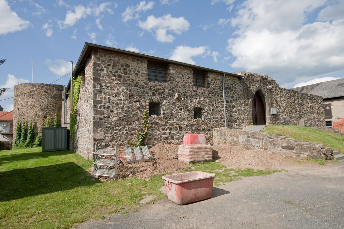
Langgöns, Germany
Langgöns is a town of 12,283 people in Hesse, Germany, founded in January 1, 1977.
Why visit Langgöns
Townapedia lists 50 museums and landmarks, 17 parks and trails, 91 places to eat, 6 places to stay and 7 attractions in and around town.
Highlights include Wetterauer Früchtchen, Kürbishof Müller, KP GH and Hüttenberger Heimatmuseum.
Weather in Langgöns
Forecast from MET Norway (CC BY 4.0). Full forecast
About Langgöns
Langgöns (German pronunciation: [ˈlaŋɡœns]) is a municipality in the district of Gießen, in Hesse, Germany. It is situated 10 km south of Gießen.
From the Wikipedia article Langgöns (this version), under CC BY-SA 4.0.
Things to do7

Wetterauer Früchtchen
Farm and orchard · Buschenschank · 4.4 km
1 Altstädter Feld, Münzenberg
Mo-Sa 09:00-18:00; Su 09:00-17:00
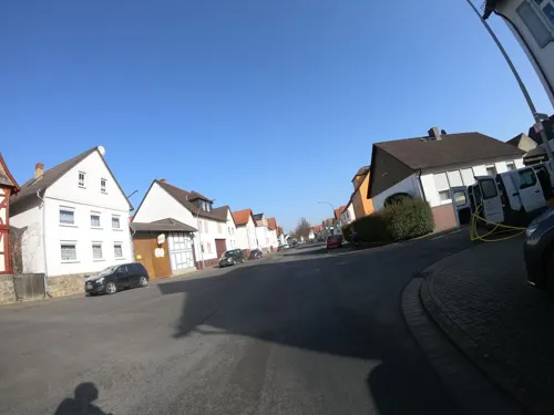
Obersteinberger Hofladen
Farm and orchard · 3.3 km
Th 14:00-18:00; Fr 10:00-18:00; Sa 10:00-13:00; PH off


Museums and landmarks50



Grüninger Warte
Monument and historic site · 3.9 km
Zum Aussichtsturm umgebauter Windmühlenstumpf
Arnsburg Abbey
Monument and historic site · 8.9 km
Historic structure in Hesse, Germany


Wetterau-Limes
Monument and historic site · 2.3 km
National heritage site

38 more on the map.
Parks, trails and playgrounds17





5 more on the map.
Restaurants and cafes91

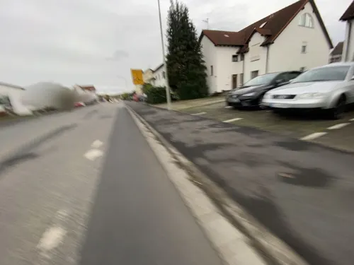
Ristorante Calabrisella
Restaurant · Italian · 3.1 km
12 Leihgesterner Straße, Linden
Mo,We-Sa 11:30-13:45,17:30-22:45; Su,PH 11:30-13:45,17:30-22:00; Tu off
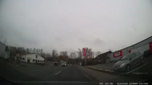
Pizzeria Lo Stivale
Restaurant · Pizza, Ice Cream, Pasta
4 Bahnhofstraße, Langgöns
PH,Tu-Su 11:00-14:00,17:00-22:00; Mo off
TaoBao - Pan-Asian Cuisine
Restaurant · Vietnamese · 4.2 km
97 Tannenweg, Linden
Mo-Sa 10:00-20:00; Su,PH off
Taverna Saloniki
Restaurant · Greek · 4.4 km
27 Am Sportheim, Pohlheim
Tu-Sa 16:00-01:00; Su,PH 10:00-15:00,17:00-22:00; Mo off

Gasthaus "Grüner Baum"
Restaurant · 4.9 km
38 Gießener Straße, Pohlheim
Mo,Tu,Th-Sa 17:00+; Su 12:00-14:00; We off


Gasthaus zum goldenen Ritter
Restaurant · 3.7 km
2 Obergasse, Linden
Mo-We,Fr 17:00+; Th,Sa 16:00+; Su off
79 more on the map.
Where to stay6
Churches and places of worship28
Ev. Kirche Klein-Rechtenbach
Church · Protestant · 6.1 km
Dorfstraße, Hüttenberg
Evangelische Kirche Leihgestern
Church · Protestant · 3.1 km
18 Kirchstraße, Linden
Shopping28
Gas and EV charging11
Schools, colleges and libraries15
Landwirtschaftliche Lehr- und Forschungseinrichtung "Am Rittergut"
School · 4.5 km
Am Rittergut, Linden
Healthcare9
Map of Langgöns
250 places. The map loads OpenStreetMap tiles when you open it.
Getting there and nearby towns
Siegerlandflughafen (SGE) is the nearest airport with scheduled flights listed in OpenStreetMap, 47 km away.
- Lich 11 km east, about 11 min by car
- Reiskirchen 16 km northeast, about 16 min by car
- Lollar 17 km north, about 17 min by car
- Usingen 20 km southwest, about 20 min by car
- Rosbach vor der Höhe 22 km south, about 22 min by car
- Neu-Anspach 24 km southwest, about 24 min by car
- Laubach 23 km east, about 23 min by car
- Weilburg 29 km west, about 29 min by car
- Schotten 32 km east, about 32 min by car
- Frankfurt am Main 43 km south, about 43 min by car
Drive times are estimates from straight-line distance, not routes.
Local news
Headlines from INDB.
Reviews, tips and questions
Loading what members have shared...
Sources and licences
- GeoNames (CC BY 4.0): population, coordinates, regions and time zone
- Mapillary (see each image): photos
- OpenStreetMap contributors (ODbL 1.0): places, airports, map data
- Wikidata (CC0 1.0): elevation, founding date, time zone, website, landmarks and historic places
- Wikimedia Commons (see each image): photos
- Wikipedia (CC BY-SA 4.0): overview and history text
Photo credits
- Schillerstraße 57 (Lang-Göns) 22, Cherubino, CC BY-SA 3.0
- Arnsburg Kirche, Presse03, CC BY-SA 3.0
- 2005-08 Gießen - Mathematikum, Sicherlich, CC BY-SA 3.0
- Wetteraulimes Wp 5 9, Haselburg-müller, CC BY-SA 3.0
- 2004-JLU Gießen Sicherlich, Ralf Lotys (Sicherlich), CC BY 2.5
- Burg Grüningen-3, Jochen Zoth, CC BY-SA 3.0
- Wasserhaus Leihgestern (1von6), Cherubino, CC BY-SA 3.0
- Holzheim Ev. Kirche Nordseite, Wikiwal, CC BY-SA 3.0
- Grüningen Kirche Südseite, Wikiwal, CC BY-SA 3.0
- St.-Peters-Kirche (Großen-Linden), self, CC BY 3.0
- Kirche (Niederkleen), self, CC BY 3.0
- Kirche (Leihgestern), self, CC BY 3.0
- Jakobuskirche (Lang-Göns) Außen 2, Cherubino, CC BY-SA 3.0
- Pfarrhaus und Kirche St. Josef, Cherubino, CC BY-SA 3.0
- Evangelische Kirche Watzenborn-Steinberg 01, Cherubino, CC BY-SA 3.0
- Hüttenberger Heimatmuseum, self, CC BY 3.0
- Moorgasse 17 (Lang-Göns) 2, Cherubino, CC BY-SA 3.0
- Paul Schneider Hochelheim Kirche 600x800 2, Sdo216, CC BY-SA 3.0
- 44792 Hoernsheim 03, Cirdan, CC BY-SA 3.0
- Grüninger Warte 02, Cherubino, CC BY-SA 3.0
- Kreuz (Grüningen, Pohlheim) 01, Cherubino, CC BY-SA 3.0
- Diebsturm (Grüningen) 07, Cherubino, CC BY-SA 3.0
- Evangelische Kirche in Huettenberg-Rechtenbach, von Nordwesten, Jörg Wiegels, CC BY-SA 3.0
- Naturschutzgebiet Wehrholz 12, Cherubino, CC BY-SA 3.0
- Hügel-Schneise, 4, Leihgestern, Linden, Landkreis Gießen, GeorgDerReisende, CC BY-SA 4.0
- Naturschutzgebiet Steinkaute bei Holzheim, Friedrich Schmidt-Fellingshausen, CC BY-SA 4.0
- Kreuz (Grüningen, Pohlheim) 12, Cherubino, CC BY-SA 3.0
- Niederkleen Ev. Kirche (02), Wikiwal, CC BY 4.0
- Kümmelberg, Fernando Ferkelkraut, CC BY-SA 4.0
- Klein-Rechtenbach Kirche (20), Wikiwal, CC BY-SA 4.0
- Street-level photo, troher15, CC BY-SA 4.0
- Street-level photo, grinninghamster, CC BY-SA 4.0
- Street-level photo, grinninghamster, CC BY-SA 4.0
- Street-level photo, grinninghamster, CC BY-SA 4.0
- Street-level photo, grinninghamster, CC BY-SA 4.0
- Street-level photo, grinninghamster, CC BY-SA 4.0
- Street-level photo, chuck, CC BY-SA 4.0
- Street-level photo, grinninghamster, CC BY-SA 4.0
- Street-level photo, dominik354, CC BY-SA 4.0
- Street-level photo, troher15, CC BY-SA 4.0
- Street-level photo, grinninghamster, CC BY-SA 4.0
- Street-level photo, mfa, CC BY-SA 4.0
- Street-level photo, grinninghamster, CC BY-SA 4.0
- Street-level photo, grinninghamster, CC BY-SA 4.0
- Street-level photo, troher15, CC BY-SA 4.0
- Street-level photo, troher15, CC BY-SA 4.0
- Street-level photo, tim3003, CC BY-SA 4.0
- Street-level photo, grinninghamster, CC BY-SA 4.0
- Street-level photo, mfa, CC BY-SA 4.0
- Street-level photo, grinninghamster, CC BY-SA 4.0
- Street-level photo, grinninghamster, CC BY-SA 4.0
- Street-level photo, grinninghamster, CC BY-SA 4.0
- Street-level photo, grinninghamster, CC BY-SA 4.0
- Street-level photo, tim3003, CC BY-SA 4.0
- Street-level photo, xt11, CC BY-SA 4.0


Page built November 8, 2026. Spotted a mistake? Tell us or suggest a place.