


Why visit Traunreut
Townapedia lists 14 museums and landmarks, 5 parks and trails, 53 places to eat, 6 places to stay and 5 attractions in and around town.
Highlights include Cine Chiemgau, Gärtnerei Krügel, Das Maximum and Stein Castle.
Weather in Traunreut
Forecast from MET Norway (CC BY 4.0). Full forecast
About Traunreut
Traunreut (German pronunciation: [tʁaʊ̯nˈʁɔɪ̯t] ; Central Bavarian: Traunreit) is a town in southeastern Bavaria, Germany in the Traunstein district. It is located at 47°58′N 12°35′E. Traunreut lies in the heart of the Chiemgau region between Munich and Salzburg, approximately 10 km east of the Chiemsee, 25 km north of the Alps, and 35 km west of Salzburg. Its population is approximately 21,000.
From the Wikipedia article Traunreut (this version), under CC BY-SA 4.0.
Things to do5


Gärtnerei Krügel
Farm and orchard · 3.5 km
13, Traunreut
Fr 08:00-16:00; Sa-Th,PH off

Museums and landmarks14

Das Maximum
Museum
16 Fridtjof-Nansen-Straße, Traunreut
Apr-Oct: Sa,Su 11:00-16:00; Nov-Mar: Sa,Su 12:00-18:00 || "nach...



Mahnmahl
Monument and historic site
Mahnmahl für die 1947 bei der Entgiftung durch einen Unfall gestorbenen elf Kampfstoffarbeiterinnen und –arbeiter und für die Gefallenen...
Romanowski | Sergejewna
Monument and historic site · 4.4 km
Aus St. Petersburg überführte Grabplatte
2 more on the map.
Parks, trails and playgrounds5


Restaurants and cafes53
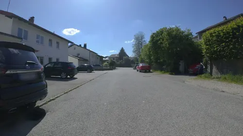
Austermayer
Restaurant · Regional · 2.0 km
8 Weberstraße, Traunwalchen
Mo-Sa 11:30-13:30,17:00-22:00; Tu off; Su 11:30-22:00
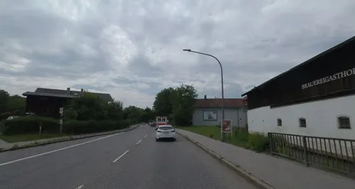
Steiner Bräustüberl
Restaurant · German · 4.3 km
5 Hauptstraße, Stein a.d.Traun
Tu-Fr 10:00-14:00,17:00-24:00; Sa,Su 10:00-24:00

Der Dorfwirt
Restaurant · German · 2.4 km
3 Bräubergstraße
Mo-We 16:00-21:30+; Fr,Sa 11:00-21:30+; Su 09:00-21:30+

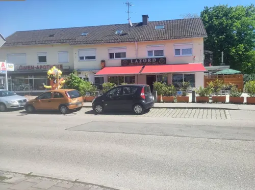
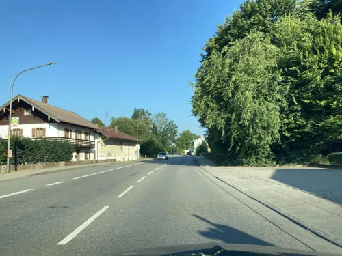
Bäckerei Lehrbach
Bakery · 4.2 km
1 Bahnhofstraße, Stein a.d.Traun
Mo-Fr 05:00-18:00; Sa 05:00-14:00; Su 05:30-14:00

Il Camino
Restaurant · Pizza · 4.8 km
72 Traunsteiner Straße, Altenmarkt an der Alz
Mo,We,Th,Fr,Su 11:30-14:00,17:30-22:00; Sa 17:30-22:00
Saltimbocca
Restaurant · Italian · 5.5 km
10 Tittmoninger Straße
PH,We-Su 11:30-14:00,17:30-22:00
Döner & Pizza Lounge
Restaurant · Pizza · 0.6 km
Mo-Sa 10:00-20:00


41 more on the map.
History
In 1938 an ordnance factory, known as "MUNA St. Georgen", was built on the outskirts of the village of St. Georgen, at the present location of Traunreut.
After World War II, with the factory closed, ethnic German expellees from their settlements in Central and Eastern Europe settled in the abandoned grounds, and toxic material was removed from the area.
The municipality of Traunreut was founded in 1950. In 1960, Traunreut became a town, and in 1978, after the German local government reform, the then independent neighboring villages of Traunwalchen, Stein - Sankt Georgen and Pierling came under the administration of Traunreut.
From the History section of Traunreut on Wikipedia, under CC BY-SA 4.0.
Where to stay6
Churches and places of worship32
Stadtpfarrkirche Zum Heiligsten Erlöser
Church · Roman Catholic
1 Rathausplatz, Traunreut
Evangelische Freikirche
Church · Evangelical · 0.9 km
34 Münchener Straße, Traunreut
Pfarrkirche St. Laurentius
Church · Roman Catholic · 5.1 km
5 Tabinger Straße, Chieming
St. Johannes der Täufer
Church · Roman Catholic · 3.0 km
1 Kirchberg, Palling
Shopping24
Gas and EV charging5
Schools, colleges and libraries10
Healthcare5
Map of Traunreut
159 places. The map loads OpenStreetMap tiles when you open it.
Getting there and nearby towns
Munich International Airport (MUC) is the nearest airport with scheduled flights listed in OpenStreetMap, 74 km away.
- Palling 5 km northeast, about 5 min by car
- Wasserburg am Inn 29 km west, about 29 min by car
- Waldkraiburg 31 km northwest, about 31 min by car
- Vilsbiburg 57 km north, about 57 min by car
- Vaterstetten 63 km west, about 1 h by car
- Unterhaching 74 km west, about 1 h 15 min by car
- Unterföhring 75 km west, about 1 h 15 min by car
- Munich 78 km west, about 1 h 15 min by car
- Unterschleißheim 83 km northwest, about 1 h 30 min by car
- Wolfratshausen 87 km west, about 1 h 30 min by car
Drive times are estimates from straight-line distance, not routes.
Local news
Headlines from INDB.
Reviews, tips and questions
Loading what members have shared...
Sources and licences
- GeoNames (CC BY 4.0): population, coordinates, regions and time zone
- Mapillary (see each image): photos
- OpenStreetMap contributors (ODbL 1.0): places, airports, map data
- Wikidata (CC0 1.0): elevation, founding date, time zone, website, landmarks and historic places
- Wikimedia Commons (see each image): photos
- Wikipedia (CC BY-SA 4.0): overview and history text
Photo credits
- Traunreut - Rathausbrunnen, Flodur63, CC BY-SA 3.0
- Aerial image of Schloss Stein an der Traun (view from the southwest), Carsten Steger, CC BY-SA 4.0
- Frauenbrunn-Kapelle (Traunwalchen), Ricardalovesmonuments, CC BY-SA 4.0
- Evangelische Kirche Traunreut, Bärendienstleistungsnehmer, CC BY-SA 3.0
- Sankt Georgen (Traunreut), Lou.gruber ; Original uploader was Lou.gruber at de.wikipedia, Public domain
- Hochschloss Stein an der Traun, Hans Lauterbach Furchenstein, CC0
- Traunreut Pfarrkirche, Own work, Public domain
- Traunwalchen, Lou.gruber at German Wikipedia, Public domain
- Hart (Chieming), Laurentiuskirche v N, 1, Renardo la vulpo, CC BY-SA 4.0
- Mariä Geburt (Palling) 2, Ricardalovesmonuments, CC BY-SA 4.0
- St. Johannes Baptist (Kirchberg) 2, Ricardalovesmonuments, CC BY-SA 4.0
- TSTrostbergLindach2, Ammerseer, CC BY-SA 3.0
- Evangelische Freikirche Traunreut, Bärendienstleistungsnehmer, CC BY-SA 3.0
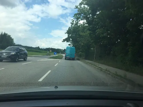
- Street-level photo, schulf, CC BY-SA 4.0
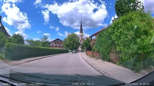
- Street-level photo, schulf, CC BY-SA 4.0
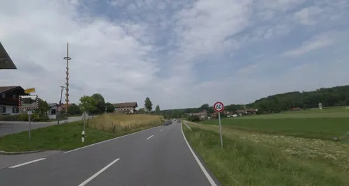
- Street-level photo, schulf, CC BY-SA 4.0
- Street-level photo, Helmut_Kauer, CC BY-SA 4.0
- Street-level photo, schulf, CC BY-SA 4.0
- Street-level photo, fod, CC BY-SA 4.0
- Street-level photo, chicc0, CC BY-SA 4.0
- Street-level photo, Tomson124, CC BY-SA 4.0
- Street-level photo, schulf, CC BY-SA 4.0
- Street-level photo, schulf, CC BY-SA 4.0
- Street-level photo, Helmut_Kauer, CC BY-SA 4.0
- Street-level photo, schulf, CC BY-SA 4.0
- Street-level photo, soulcover, CC BY-SA 4.0
- Street-level photo, schulf, CC BY-SA 4.0
- Street-level photo, aceini, CC BY-SA 4.0
- Street-level photo, aceini, CC BY-SA 4.0
- Street-level photo, schulf, CC BY-SA 4.0
- Street-level photo, schulf, CC BY-SA 4.0
- Street-level photo, schulf, CC BY-SA 4.0
- Street-level photo, schulf, CC BY-SA 4.0


Page built November 8, 2026. Spotted a mistake? Tell us or suggest a place.