


Trostberg an der Alz, Germany
Trostberg
Trostberg an der Alz is a town of 11,676 people in Bavaria, Germany.
Why visit Trostberg an der Alz
Townapedia lists 7 museums and landmarks, 5 parks and trails, 26 places to eat, 4 places to stay and 1 attraction in and around town.
Highlights include Stadtkino, Stein Castle and Postsaal.
Weather in Trostberg an der Alz
Forecast from MET Norway (CC BY 4.0). Full forecast
Things to do1

Museums and landmarks7




Parks, trails and playgrounds5



Restaurants and cafes26
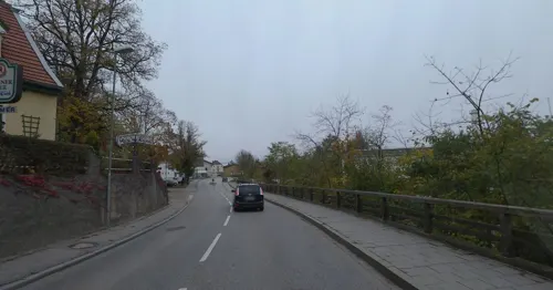
Hex'n Küch
Restaurant · German · 1.0 km
17 Traunsteiner Straße, Trostberg
Mo off; Tu-Sa 17:00-23:00; Su 11:00-22:00

Havanna - Hemingway
Restaurant · 1.4 km
30 Herzog-Otto-Straße, Trostberg
Su-Mo 09:00-24:00; Tu-Sa 09:00-01:00
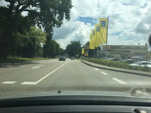
Scherer
Bakery · 1.3 km
Bäckerei in Edeka
11 Herzog-Otto-Straße, Trostberg
Mo-Sa 07:00-20:00; Su 07:30-10:30
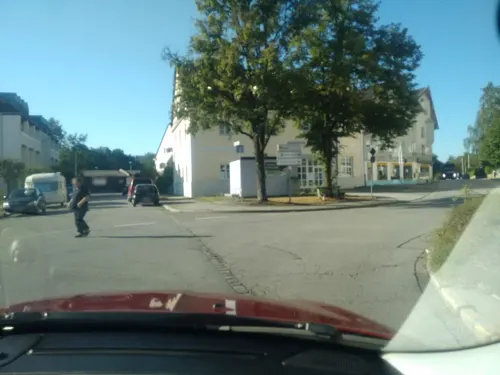

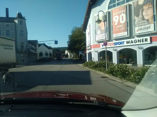
Trostberger Döner Pizza Haus
Restaurant · Turkish
1 Bahnhofstraße, Trostberg
Mo-Su 11:00-23:00
Lehrbach
Bakery
1 Wilhelm-Kellermann-Straße, Trostberg
Mo-Fr 5:30-17:30; Sa 5:30-12:00, 7:00-10:30
Waldschenke
Restaurant · Regional · 1.8 km
2 Kirchenstraße, Trostberg


14 more on the map.
Where to stay4
Churches and places of worship8
Mariä Himmelfahrt
Church · Catholic · 1.9 km
4 Kirchenstraße, Trostberg
St. Sixtus und Sebastian
Church · Roman Catholic · 1.6 km
7 Deinting, Trostberg
Shopping13
Gas and EV charging3
Schools, colleges and libraries3
Healthcare2
Map of Trostberg an der Alz
72 places. The map loads OpenStreetMap tiles when you open it.
Getting there and nearby towns
Munich International Airport (MUC) is the nearest airport with scheduled flights listed in OpenStreetMap, 68 km away.
- Tacherting 6 km north, about 6 min by car
- Palling 7 km southeast, about 7 min by car
- Waldkraiburg 23 km northwest, about 23 min by car
- Wasserburg am Inn 25 km west, about 25 min by car
- Vilsbiburg 50 km north, about 50 min by car
- Vaterstetten 59 km west, about 59 min by car
- Unterhaching 70 km west, about 1 h 15 min by car
- Munich 74 km west, about 1 h 15 min by car
- Unterschleißheim 78 km west, about 1 h 15 min by car
- Wolfratshausen 86 km west, about 1 h 30 min by car
Drive times are estimates from straight-line distance, not routes.
Local news
Headlines from INDB.
Reviews, tips and questions
Loading what members have shared...
Sources and licences
- GeoNames (CC BY 4.0): population, coordinates, regions and time zone
- Mapillary (see each image): photos
- OpenStreetMap contributors (ODbL 1.0): places, airports, map data
- Wikidata (CC0 1.0): elevation, founding date, time zone, website, landmarks and historic places
- Wikimedia Commons (see each image): photos
Photo credits
- Aerial image of Schloss Stein an der Traun (view from the southwest), Carsten Steger, CC BY-SA 4.0
- Pfarrkirche St. Andreas Trostberg, Konrad Lackerbeck, CC BY 3.0
- Trostberg, Vormarkt 36, Sebastianskapelle v NNW, 1, Renardo la vulpo, CC BY-SA 4.0
- TSTrostbergDeinting2, Ammerseer, CC BY-SA 3.0
- TSTrostbergSchwarzau2, Ammerseer, CC BY-SA 3.0
- TSTrostbergMögling2, Ammerseer, CC BY-SA 3.0
- Trostberg, Bahnbrücke Alz, 1, Renardo la vulpo, CC0
- Rosa 'Yvonne Rabier' 01, Wilrooij, CC BY-SA 4.0
- Trostberger Rosengarten 04, Wilrooij, CC BY-SA 4.0
- Rosa 'Joseph Liger' 03, Wilrooij, CC BY-SA 4.0
- Trostberger Rosengarten 05, Wilrooij, CC BY-SA 4.0
- Rosa 'Yvonne Rabier' 02, Wilrooij, CC BY-SA 4.0
- Trostberger Rosengarten 03, Wilrooij, CC BY-SA 4.0
- Rosa 'Joseph Liger' 01, Wilrooij, CC BY-SA 4.0
- Trostberger Rosengarten 01, Wilrooij, CC BY-SA 4.0
- Trostberger Rosengarten 02, Wilrooij, CC BY-SA 4.0
- Rosa 'Deutsches Rosarium Dortmund' 01, Wilrooij, CC BY-SA 4.0
- Rosa 'Madame Alfred Carrière' - Trostberger Rosengarten, Wilrooij, CC BY-SA 4.0
- Rosa 'Joseph Liger' 02, Wilrooij, CC BY-SA 4.0
- Trostberg, Hauptstr 39, 2, Renardo la vulpo, CC BY-SA 4.0
- Trostberg, Hauptstr 41, 1, Renardo la vulpo, CC BY-SA 4.0
- Trostberg, Hauptstr, Max-II-Brunnen, 1, Renardo la vulpo, CC BY-SA 4.0
- Trostberg, Hauptstr 49, 1, Renardo la vulpo, CC BY-SA 4.0
- Trostberg, Hauptstr 43, 1, Renardo la vulpo, CC BY-SA 4.0
- Trostberg, Hauptstr 51, 1, Renardo la vulpo, CC BY-SA 4.0
- Trostberg, Hauptstr 40, 1, Renardo la vulpo, CC BY-SA 4.0
- Trostberg, Hauptstr 60, 1, Renardo la vulpo, CC BY-SA 4.0
- GER — BY — Landkreis Traunstein – Trostberg – Schedling 4 (Turm zu Schloss Schedling) 2020, User:Mateus2019, CC BY 3.0 de
- Trostberg, Hauptstr 32, 1, Renardo la vulpo, CC BY-SA 4.0
- Trostberg, Hauptstr 56, 1, Renardo la vulpo, CC BY-SA 4.0
- Trostberg, Hauptstr 57, 1, Renardo la vulpo, CC BY-SA 4.0
- Trostberg, Schedling, Johann-Nepomuk-Kapelle, 1, Renardo la vulpo, CC BY-SA 4.0
- Trostberg, Hauptstr 29, 1, Renardo la vulpo, CC BY-SA 4.0
- Trostberg, Hauptstr 34, 1, Renardo la vulpo, CC BY-SA 4.0
- St. Michael (Tyrlbrunn) Heilige+Kreuzweg 1, Ricardalovesmonuments, CC BY-SA 4.0
- Trostberg, Schebenschlössl v SO, 1, Renardo la vulpo, CC BY-SA 4.0
- Trostberg, Bahnhof v NO, 1, Renardo la vulpo, CC0
- Trostberg, Hauptstr 57, Tafel, 1, Renardo la vulpo, CC BY-SA 4.0
- Trostberg, Hauptstr 28, 1, Renardo la vulpo, CC BY-SA 4.0
- Sand Sample Collection, R G from siehe oben, Bayern, CC BY 2.0
- Trostberg, Vormarkt 30, Postsaal, Nasenschild, 1, Renardo la vulpo, CC BY-SA 4.0
- Street-level photo, schulf, CC BY-SA 4.0
- Street-level photo, schulf, CC BY-SA 4.0
- Street-level photo, gzin, CC BY-SA 4.0
- Street-level photo, gzin, CC BY-SA 4.0
- Street-level photo, schulf, CC BY-SA 4.0
- Street-level photo, chicc0, CC BY-SA 4.0
- Street-level photo, czmrtn, CC BY-SA 4.0
- Street-level photo, gzin, CC BY-SA 4.0
- Street-level photo, schulf, CC BY-SA 4.0
- Street-level photo, gzin, CC BY-SA 4.0
- Street-level photo, gzin, CC BY-SA 4.0
- Street-level photo, gzin, CC BY-SA 4.0
- Street-level photo, gzin, CC BY-SA 4.0
- Street-level photo, natebus, CC BY-SA 4.0
- Street-level photo, peterpohl, CC BY-SA 4.0
- Street-level photo, gzin, CC BY-SA 4.0
- Street-level photo, gzin, CC BY-SA 4.0
- Street-level photo, schulf, CC BY-SA 4.0
- Street-level photo, schulf, CC BY-SA 4.0
- Street-level photo, gzin, CC BY-SA 4.0
- Street-level photo, peterpohl, CC BY-SA 4.0
- Street-level photo, gzin, CC BY-SA 4.0
- Street-level photo, peterpohl, CC BY-SA 4.0
- Street-level photo, schulf, CC BY-SA 4.0


Page built November 8, 2026. Spotted a mistake? Tell us or suggest a place.