


Why visit Vreden
Townapedia lists 42 museums and landmarks, 28 parks and trails, 117 places to eat, 14 places to stay and 6 attractions in and around town.
Highlights include Lansings Wiesenei, kult Westmünsterland, 1623 - 400 Jahre Schlacht im Lohner Bruch and Lüntener Fischteiche.
Weather in Vreden
Forecast from MET Norway (CC BY 4.0). Full forecast
About Vreden
Vreden (German pronunciation: [ˈfʁeːdn̩] ) is a small town in North Rhine-Westphalia, Germany near the Dutch border. The town is located near the river Berkel. The first mentioning of the town is proven for the year 839. In 1252 Vreden obtained city rights.
From the Wikipedia article Vreden (this version), under CC BY-SA 4.0.
Things to do6



Museums and landmarks42

kult Westmünsterland
Museum
Kulturhistorisches Zentrum Westmünsterland
14 Kirchplatz, Vreden
Tu-Sa 10:00-17:00

1623 - 400 Jahre Schlacht im Lohner Bruch
Museum · 8.0 km
Diorama der Schlacht im Lohner Bruch 1623
14 Dufkampstraße, Stadtlohn
nach Anmeldung beim Heimatverein oder Stadtarchiv

Schlacht bei Stadtlohn
Monument and historic site · 7.6 km
Westliches Schlachtfeld, Graf von Pappenheim, Graf von Limburg-Styrum, Kavallerie
Schlacht bei Stadtlohn
Monument and historic site · 8.2 km
Blotkamp / Blotfeld: Zentrum der Schlacht, Pulverkuhlen, Musketiere und Pikeniere
Schlacht bei Stadtlohn
Monument and historic site · 8.8 km
Östliches Schlachtfeld, Dodo zu Inn- und Knyphausen, Graf von Anholt, Artillerie

Biologische Station Zwillbrock mit Besucherzentrum
Museum · 9.4 km
10 Zwillbrock, Vreden
Mo-Th 08:00-16:30, Fr 08:00-14:30


30 more on the map.
Parks, trails and playgrounds28

Lüntener Fischteiche
Hiking and trails · 8.5 km
Die Lüntener Fischteiche liegen in Lünten, einem Dorf in der Nähe von Vreden im münsterländischen Kreis Borken. Sie waren ursprünglich...
24/7




16 more on the map.
Restaurants and cafes117
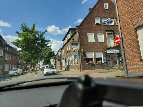
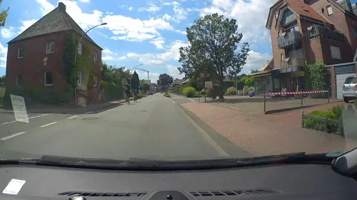


Bäckerei-Konditorei-Geelink
Bakery · 1.0 km
5 Stadtlohner Straße, Vreden
Mo-Fr 06:00-18:30; Sa 05:30-13:00; Su 07:00-11:00
Spezialbäckerei & Conditorei Zumbusch
Bakery · 7.4 km
55 Mühlenstraße, Stadtlohn
Mo-Fr 06:00-18:00, Sa 06:00-13:00, Su 07:00-11:00
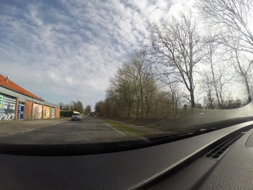
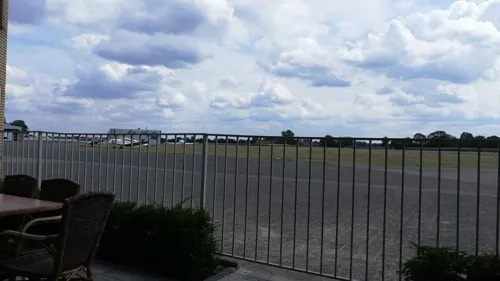
Flugplatz Restaurant
Restaurant · International · 4.8 km
41 Wenningfeld, Stadtlohn
Tu-Su 10:00-23:00
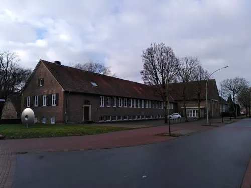


Kurfürstengrill
Restaurant · Fries, Regional, Burger, Greek, Sandwich · 0.7 km
33 Windmühlentor, Vreden

105 more on the map.
Where to stay14
Churches and places of worship18
Kirche Hl. Kreuzerhöhung
Church · Roman Catholic · 5.0 km
14 Pfarrer-Holtmann-Straße, Vreden
Stiftskirche St. Felizitas
Church · Roman Catholic
3 Kirchplatz, Vreden
Shopping36
Gas and EV charging20
Schools, colleges and libraries22
Sekundarschule an der Berkel der Stadt Vreden
School · 1.0 km
7 Schulstraße, Vreden
Healthcare11
Medizinisches Versorgungszentrum (MVZ) Stadtlohn
Clinic and pharmacy · 7.6 km
58 Vredener Straße, Stadtlohn
Map of Vreden
250 places. The map loads OpenStreetMap tiles when you open it.
Getting there and nearby towns
Münster Osnabrück Airport (FMO) is the nearest airport with scheduled flights listed in OpenStreetMap, 59 km away.
- Wesel 44 km south, about 44 min by car
- Xanten 49 km southwest, about 49 min by car
- Neuenhaus 52 km north, about 52 min by car
- Recklinghausen 54 km southeast, about 54 min by car
- Münster 55 km east, about 55 min by car
- Bottrop 58 km south, about 58 min by car
- Herne 62 km southeast, about 1 h by car
- Gelsenkirchen 62 km south, about 1 h by car
- Oberhausen 62 km south, about 1 h by car
- Essen 66 km south, about 1 h by car
Drive times are estimates from straight-line distance, not routes.
Local news
Headlines from INDB.
Reviews, tips and questions
Loading what members have shared...
Sources and licences
- GeoNames (CC BY 4.0): population, coordinates, regions and time zone
- Mapillary (see each image): photos
- OpenStreetMap contributors (ODbL 1.0): places, airports, map data
- Wikidata (CC0 1.0): elevation, founding date, time zone, website
- Wikimedia Commons (see each image): photos
- Wikipedia (CC BY-SA 4.0): overview and history text
Photo credits
- Vreden burg, No machine-readable author provided. Vertigo Man-iac assumed (based on copyright claims)., Public domain
- Schlacht bei Stadtlohn, Unknown author, Public domain
- Doppel Korpus Kreuz Zwillbrock Adolf Erning, Gouwenaar, Public domain
- Pfarrkirche Sankt Georg Vreden, Tubantia, CC BY-SA 3.0
- VredenKapelleMaria-Brunn6, Netzhering, CC BY-SA 3.0
- Hünenburg - äußerer Wall, Günter Seggebäing, CC BY-SA 3.0
- Gymnasium Georgianum Vreden - Eingang, Malte89N, CC BY-SA 3.0
- Pfarrkirche-St-Georg-Ottenstein, Konrad, CC BY-SA 3.0
- Ammeloe, die katholische Rektoratskirche Sankt Antonius Abt Dm1 foto5 2015-08-22 15.10, Michielverbeek, CC BY-SA 4.0
- Stiftskirche St. Felizitas in Vreden, Tetzemann, CC0
- Hilgenbergkapelle, Stadtlohn, CC BY-SA 3.0
- Stadtlohn, kerk foto6 2012-04-30 10.19, Michielverbeek, CC BY-SA 3.0
- Bohlenweg Schwattet Gatt, Spunkinho, CC BY-SA 3.0
- Bücherei Stadtlohn St. Otger, Tetzemann, CC0
- Teufelsschlucht 2024, Muehlenbernd, CC BY-SA 4.0
- 20171112 Kulturhistorisches Zentrum Westmünsterland, Vreden (01694), Günter Seggebäing, Coesfeld, CC BY-SA 3.0
- Heilig Kreuz (Vreden-Ellewick), Tetzemann (changes by Rabanus Flavus ), CC0
- Lünten St. Bruno 2020, Vysotsky, CC BY-SA 4.0
- Lüntener Fischteich 20180330 104855, Spunkinho, CC BY-SA 4.0
- Schwattet gatt, Spunkinho, CC BY-SA 3.0
- Krosewicker Grenzwald, Gouwenaar, Public domain
- Lüntener Wald 20180330 112640, Spunkinho, CC BY-SA 4.0
- Kiefer in der Hörsteloer Wacholderheide, Ahaus (09787), Günter Seggebäing, Coesfeld, CC BY-SA 3.0
- Stiftskirche St. Felizitas (Vreden), Vreden,_die_Stifftkirche_Felicitas_D4_foto1_2012-04-30_16.35.jpg : Michielverbeek derivative work: Rabanus Flavus, CC BY-SA 3.0
- Barokkerk Sint Franciscus Zwilbroek, Tubantia, CC BY-SA 3.0
- Stadtlohn, Hilgenbergkapelle, Stadtlohn ; cropped by Rabanus Flavus, CC BY-SA 3.0
- St. Otger Stadtlon außen, Jochen17, CC BY-SA 4.0
- Bauernhausmuseum Vreden, Bienenhaus, Tetzemann, CC0
- Street-level photo, poxonline, CC BY-SA 4.0
- Street-level photo, poxonline, CC BY-SA 4.0
- Street-level photo, commodoortje, CC BY-SA 4.0
- Street-level photo, stsstssts, CC BY-SA 4.0
- Street-level photo, commodoortje, CC BY-SA 4.0
- Street-level photo, technick, CC BY-SA 4.0
- Street-level photo, commodoortje, CC BY-SA 4.0
- Street-level photo, stsstssts, CC BY-SA 4.0
- Street-level photo, gdm, CC BY-SA 4.0


Page built November 8, 2026. Spotted a mistake? Tell us or suggest a place.