


Why visit Wald-Michelbach
Townapedia lists 78 museums and landmarks, 31 parks and trails, 82 places to eat, 22 places to stay and 75 attractions in and around town.
Highlights include Bei´s Jäig´s, Eigenvermarktung Öhlenschläger, Überwälder Heimatmuseum and Kapellenruine St. Maria.
Weather in Wald-Michelbach
Forecast from MET Norway (CC BY 4.0). Full forecast
About Wald-Michelbach
Wald-Michelbach is a municipality in the Bergstraße district in Hesse, Germany.
From the Wikipedia article Wald-Michelbach (this version), under CC BY-SA 4.0.
Things to do75
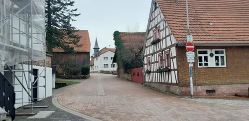
Bei´s Jäig´s
Farm and orchard · 6.6 km
17 Siegfriedstraße, Grasellenbach
Th,Fr 08:30-12:00,14:00-17:30; Sa 07:30-12:30

Eigenvermarktung Öhlenschläger
Farm and orchard · 5.0 km
40 Finkenbacher Straße, Oberzent
Mo-Fr 09:00-13:00; Sa,Su off




63 more on the map.
Museums and landmarks78


Kapellenruine St. Maria
Monument and historic site · Catholic · 4.8 km

Adlerstein
Monument and historic site · 4.9 km
Dreimärker, Kopie des historischen Grenzsteines. Original befindet sich im Heimatmuseum von Wald-Michelbach

66 more on the map.
Parks, trails and playgrounds31







19 more on the map.
Restaurants and cafes82
Gasthaus - Pension Zum Spälterwald
Restaurant · Regional · 4.9 km
Http://www.odenwald-tourismus.de/spaelterwald/ Metzgerei Di, Fr und Sa geöffnet Fremdenzimmer verfügbar
4 Spälterwaldstraße, Oberzent
Mo, Tu, Fr-Su, PH 08:00-22:00
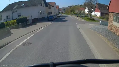
al dente
Restaurant · Italian · 5.3 km
Ristorante, pizzeria, vinoteca
51 Hauptstraße, Mörlenbach
Tu,Sa 17:30-22:00; We-Fr 12:00-14:00,17:30-22:00; Su 12:00-21:00
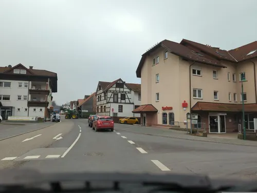
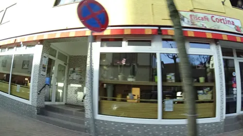
Eis-Cafe Cortina
Ice cream · Ice Cream · 0.6 km
35 Ludwigstraße, Wald-Michelbach
Mo-Tu,Th-Fr 10:00-21:00; We 16:00-18:00; Sa 10:00-21:30; Su 10:00-20:00

Gasthof zum Grünen Baum
Restaurant · German · 3.5 km
1 Vöckelsbacher Weg, Abtsteinach
Sa,Su,PH 12:00-18:00+
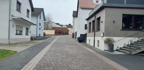
Landgasthof Hagen
Restaurant · German · 7.0 km
6 Güttersbacher Straße, Grasellenbach
We-Su 11:30-14:00, 17:30-21:30
Landgasthof Raubacher Höhe
Restaurant · International · 4.1 km
11 Am Waldesrand, Oberzent
Sa-Su 11:30-15:00, Sa-Su 16:30-20:00
Michels Indoor-Biergarten
Restaurant · Flammkuchen Im Holzofen Gebacken · 7.2 km
6 Carl-Benz-Straße, Mörlenbach
off
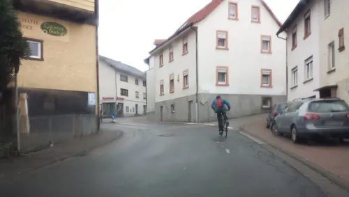
Zum Goldenen Bock
Restaurant · German · 4.3 km
6 Neckarstraße, Abtsteinach
Mo,We,Th,Fr 11:30-14:00,17:00-21:30; Sa,Su 11:30-21:30; Tu off
Zum Krug
Restaurant · Regional · 6.5 km
12a Abtsteinacher Straße, Birkenau
Mo,Fr,Sa 15:00-22:00; Su 12:00-22:00


70 more on the map.
Where to stay22
Churches and places of worship21
Katholische Kirche Herz-Jesu, Weiher
Church · Roman Catholic · 5.1 km
74 Hauptstraße, Mörlenbach
St. Laurentius
Church · Catholic · 0.6 km
2 Adam-Karrillon-Straße, Wald-Michelbach
Evangelische Kirche
Church · Protestant · 5.6 km
95 Mumbacher Talstraße, Mörlenbach
Shopping15
Gas and EV charging4
Tankstation Wald-Michelbach
Gas station · 0.7 km
168 Ludwigstraße, Wald-Michelbach
Schools, colleges and libraries10
Healthcare5
Map of Wald-Michelbach
250 places. The map loads OpenStreetMap tiles when you open it.
Getting there and nearby towns
City-Airport Mannheim (MHG) is the nearest airport with scheduled flights listed in OpenStreetMap, 25 km away.
- Weinheim 12 km west, about 12 min by car
- Hemsbach 13 km west, about 13 min by car
- Eberbach 16 km southeast, about 16 min by car
- Schriesheim 16 km southwest, about 16 min by car
- Dossenheim 17 km southwest, about 17 min by car
- Heddesheim 18 km southwest, about 18 min by car
- Ladenburg 19 km southwest, about 19 min by car
- Heidelberg 21 km southwest, about 21 min by car
- Neckargemünd 20 km south, about 20 min by car
- Edingen-Neckarhausen 21 km southwest, about 21 min by car
Drive times are estimates from straight-line distance, not routes.
Local news
Headlines from INDB.
Reviews, tips and questions
Loading what members have shared...
Sources and licences
- GeoNames (CC BY 4.0): population, coordinates, regions and time zone
- Mapillary (see each image): photos
- OpenStreetMap contributors (ODbL 1.0): places, airports, map data
- Wikidata (CC0 1.0): elevation, founding date, time zone, website
- Wikimedia Commons (see each image): photos
- Wikipedia (CC BY-SA 4.0): overview and history text
Photo credits
- Germany wald-michelbach city hall, Julius Rückert ., CC BY-SA 3.0
- Liesel 13-11-2010 Adlerstein, Liesel, CC BY-SA 3.0
- Götzenstein, Ruslan Fursa, CC BY 3.0
- Lichtenklingen von außen, Areuland, CC BY-SA 4.0
- Grube Ludwig, Agricolax, CC0
- Evangelische Gustav-Adolf-Kirche in Affolterbach 2011, 4028mdk09, CC BY-SA 3.0
- FFH-OberesUlfenbachtal-Unter-Schönmattenwag-4, Drobberdix, CC BY-SA 4.0
- Eiterbachtal Wald-Michelbach, Drobberdix, CC BY-SA 3.0
- Naturschutzgebiet-RotesWasserVonOlfen-2, Drobberdix, CC BY-SA 4.0
- Duerr-Ellenbachtal-Talblick, Drobberdix, CC BY-SA 3.0
- In der Striet, Tinkylein, CC BY-SA 4.0
- NSG In der Erbach bei Mörlenbach 2023a, Thiotrix, CC BY-SA 4.0
- Kirche Kocherbach 01, Kuebi = Armin Kübelbeck, CC BY-SA 3.0
- Abtsteinach Oberabtsteinach katholische Kirche 20100927, Rudolf Stricker, Attribution
- Abtsteinach Unterabtsteinach Kapelle 20100927, Rudolf Stricker, Attribution
- Germany wald-michelbach catholic church, Julius Rückert ., CC BY-SA 3.0
- Weiher Herz-Jesu-Kirche 01, Kuebi = Armin Kübelbeck, CC BY-SA 3.0
- Evangelische Kirche Zotzenbach 19 Mai 2021 - Foto 2a, IgorCalzone1, CC BY-SA 4.0
- Affolterbach Gustav-Adolf-Kirche 2011, 4028mdk09, CC BY-SA 3.0
- Grasellenbach Katholische Kirche 20100919, Rudolf Stricker, Attribution
- Hardberg, Jörg Braukmann, CC BY-SA 4.0
- 201102131557 Lichtenklingen; Altarraum, Eiterbachtal, Hartmann Linge, CC BY-SA 4.0
- Street-level photo, ramap, CC BY-SA 4.0
- Street-level photo, Marc95, CC BY-SA 4.0
- Street-level photo, ramap, CC BY-SA 4.0
- Street-level photo, wegavision, CC BY-SA 4.0
- Street-level photo, wegavision, CC BY-SA 4.0
- Street-level photo, wegavision, CC BY-SA 4.0
- Street-level photo, waldemar, CC BY-SA 4.0
- Street-level photo, wegavision, CC BY-SA 4.0
- Street-level photo, wegavision, CC BY-SA 4.0
- Street-level photo, frankvival, CC BY-SA 4.0
- Street-level photo, electria, CC BY-SA 4.0
- Street-level photo, wegavision, CC BY-SA 4.0
- Street-level photo, ramap, CC BY-SA 4.0
- Street-level photo, frankvival, CC BY-SA 4.0
- Street-level photo, frankvival, CC BY-SA 4.0
- Street-level photo, wegavision, CC BY-SA 4.0
- Street-level photo, Marc95, CC BY-SA 4.0
- Street-level photo, Marc95, CC BY-SA 4.0
- Street-level photo, frankvival, CC BY-SA 4.0
- Street-level photo, ramap, CC BY-SA 4.0
- Street-level photo, greenger, CC BY-SA 4.0
- Street-level photo, ramap, CC BY-SA 4.0
- Street-level photo, ramap, CC BY-SA 4.0
- Street-level photo, ramap, CC BY-SA 4.0
- Street-level photo, ramap, CC BY-SA 4.0
- Street-level photo, frankvival, CC BY-SA 4.0
- Street-level photo, waldemar, CC BY-SA 4.0
- Street-level photo, waldemar, CC BY-SA 4.0
- Street-level photo, ramap, CC BY-SA 4.0


Page built November 8, 2026. Spotted a mistake? Tell us or suggest a place.