


Why visit Weinböhla
Townapedia lists 62 museums and landmarks, 14 parks and trails, 56 places to eat, 11 places to stay and 20 attractions in and around town.
Highlights include Friedensturm, König-Albert-Turm, Handarbeitsmuseum and Schloss Lauben.
Weather in Weinböhla
Forecast from MET Norway (CC BY 4.0). Full forecast
About Weinböhla
Weinböhla is a municipality in the district of Meißen, in Saxony, Germany. It is situated 7 km east of Meißen, and 17 km northwest of Dresden.
From the Wikipedia article Weinböhla (this version), under CC BY-SA 4.0.
Things to do20

Friedensturm
Scenic view · 1.8 km
Der Aufstieg ist nur mit voriger Schlüsselausleihe möglich. Mehr Infos: http://www.weinboehla.de/weinboehla/content/18/20101109120945.asp
closed

König-Albert-Turm
Scenic view · 1.3 km
König-Albert-Turm (Barthshügelstraße) auf der Schweizerhöhe
Mar-Oct: Su,PH 14:00-16:00
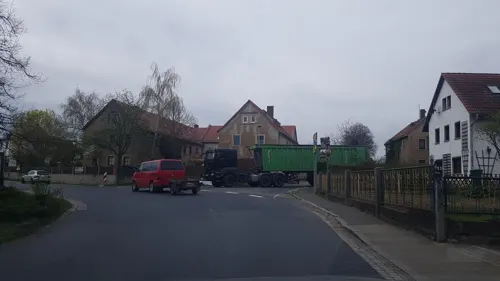
Hofladen Bauernhof Friede
Farm and orchard · 3.9 km
8 Radeburger Straße, Niederau
Mo,Tu 15:00-18:00; Th,Fr 15:00-18:00; Sa 09:00-12:00; We,Su,PH off

Hofladen Bioobst Görnitz
Farm and orchard · 3.0 km
99 Cliebener Straße, Coswig
Mo-Fr 09:00-18:00; Sa 09:00-12:00; Su,PH off
Mäserhof
Farm and orchard · 1.9 km
1 Gottlieb-Fichte-Straße, Niederau
Mo-Fr 17:00-20:00; Sa,Su 09:00-20:00



Aussichtspunkt am Wasserberg
Scenic view · 3.1 km
Halbkreisförmige Distanztafel aus Granit
8 more on the map.
Museums and landmarks62
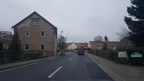

Schloss Lauben
Monument and historic site · 2.1 km
Herrenhaus eines ehemaligen Weingutes
33 Bergsiedlung, Weinböhla


Wolfssäule Friedewald
Monument and historic site · 3.3 km
Wolfssäule (Wolfsdenkmal), Denkmal mit Plastik im Friedewald bei Weinböhla


Forstbezirk Dresden, Revier 05 Moritzburg
Monument and historic site · 4.0 km
Forsthaus Kreyern, Hauptgebäude, Kreyern 104 in Coswig
104 Forsthaus Kreyern, Coswig


Erinnerungssäule Oberauer Tunnel
Monument and historic site · 3.4 km
An dieser Stelle befand sich der erste Eisenbahntunnel Deutschlands ,1839 fertig gestellt, das Denkmal ehemals Teil der Portalbekrönung...


Königlich sächsischer Meilenstein
Monument and historic site · 1.9 km
Königlich-Sächsischer Meilenstein (Abzweigstein, umgesetzter ehem. Stationsstein) in Weinböhla an der S 80

Pfarramt
Monument and historic site · Protestant
16 Kirchplatz, Weinböhla
Tu,Th 10:00-12:00, Tu 15:00-18:00
50 more on the map.
Parks, trails and playgrounds14

Waldbad Oberau
Sports field and stadium · 2.3 km
2 Am Gemeindebad, Niederau
May 19-Sep 09: Mo-Su,PH 12:00-19:00; May 19-Sep 09: SH Mo-Su,PH 10:00-19:00




2 more on the map.
Restaurants and cafes56

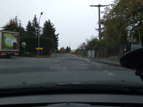
Laubenhöhe
Restaurant · 2.2 km
77 Köhlerstraße, Weinböhla
Tu 18:00+; We-Sa 12:00-15:00,18:00+; Su 12:00-15:00

Laubenschlösschen
Restaurant · 1.9 km
79 Moritzburger Straße, Weinböhla
Mo off; Tu 17:00+; We-Fr 11:00-15:00,17:00+; Sa,Su 11:00+
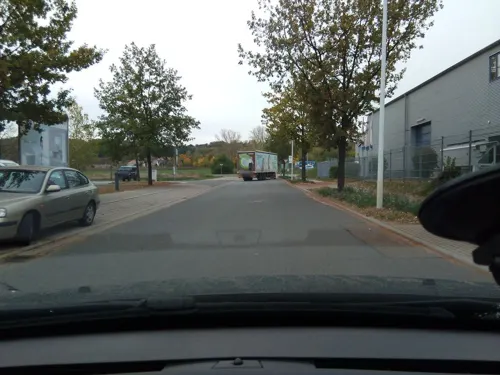

Buschmühle
Restaurant · Regional · 2.5 km
9 Unterer Buschmühlenweg, Niederau
We 11:00-17:00; Th 11:00-15:00; Fr-Su 11:00-17:00; Mo,Tu,PH closed
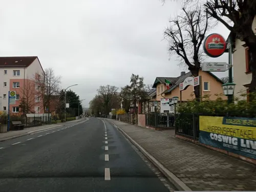
Da Mimmo
Restaurant · Italian · 3.8 km
27 Moritzburger Straße, Coswig
Mo,We-Sa 17:00-23:00; Su, PH 11:30-14:30, 17:00-22:00
Hai Nam
Restaurant · Vietnamese, Sushi
6 Rathausstraße, Weinböhla
Tu-Su 11:00-15:00,17:00-21:00; Mo off
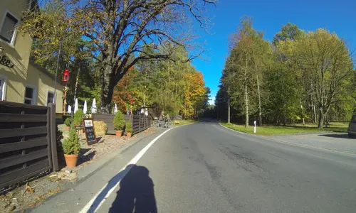
Noka Restaurant
Restaurant · Greek · 1.6 km
23 Spitzgrundstraße, Weinböhla
Mo off; Tu-Fr 11:30-14:30, 17:00-23:00; Sa-Su 11:30-23:00; PH 11:30-23:00



44 more on the map.
Where to stay11
Wohnmobilstellplatz am Hotel Landhaus Nassau
Campground · 3.5 km
1 Nassauweg, Meißen
Churches and places of worship8
Shopping19
Gas and EV charging3
Schools, colleges and libraries11
Healthcare4
Map of Weinböhla
208 places. The map loads OpenStreetMap tiles when you open it.
Getting there and nearby towns
Dresden Airport (DRS) is the nearest airport with scheduled flights listed in OpenStreetMap, 15 km away.
- Dresden 18 km southeast, about 18 min by car
- Lauchhammer 38 km north, about 38 min by car
- Bad Liebenwerda 41 km north, about 41 min by car
- Senftenberg 50 km northeast, about 50 min by car
- Doberlug-Kirchhain 51 km north, about 51 min by car
- Finsterwalde 53 km north, about 53 min by car
- Großräschen 56 km northeast, about 56 min by car
- Chemnitz 58 km southwest, about 58 min by car
- Zschopau 58 km southwest, about 58 min by car
- Leipzig 85 km west, about 1 h 30 min by car
Drive times are estimates from straight-line distance, not routes.
Local news
Headlines from INDB.
Reviews, tips and questions
Loading what members have shared...
Sources and licences
- GeoNames (CC BY 4.0): population, coordinates, regions and time zone
- Mapillary (see each image): photos
- OpenStreetMap contributors (ODbL 1.0): places, airports, map data
- Wikidata (CC0 1.0): elevation, founding date, time zone, website, landmarks and historic places
- Wikimedia Commons (see each image): photos
- Wikipedia (CC BY-SA 4.0): overview and history text
Photo credits
- Rathaus Weinboehla, Aleks B., CC BY-SA 3.0
- 20473-Weinböhla-1917-Blick nach Niederau-Brück & Sohn Kunstverlag, Brück & Sohn Kunstverlag Meißen, CC0
- 00690-Weinböhla-1898-Bahnhofstraße-Brück & Sohn Kunstverlag, Brück & Sohn Kunstverlag Meißen, CC0
- 28272-Weinböhla-1951-Blick von der Bosel auf Weinböhla-Brück & Sohn Kunstverlag, Brück & Sohn Kunstverlag Meißen, CC BY-SA 3.0
- 28844-Weinböhla-1955-Laubenhöhe-Brück & Sohn Kunstverlag, Brück & Sohn Kunstverlag Meißen, CC BY-SA 3.0
- 31971-Weinböhla-1997-Elblandhotel Hotel-Brück & Sohn Kunstverlag, Brück & Sohn, CC BY-SA 4.0
- 30801-Weinböhla-1989-Konditorei und Cafe Schütze - Historische Aufnahme-Brück & Sohn Kunstverlag, Brück & Sohn, CC BY-SA 3.0
- 32627-Weinböhla-2002-Mehrbild-Brück & Sohn Kunstverlag, Brück & Sohn, CC BY-SA 4.0
- 20471-Weinböhla-1917-Blick auf Weinböhla-Brück & Sohn Kunstverlag, Brück & Sohn Kunstverlag Meißen, CC0
- 29993-Weinböhla-1971-72-verschiedene Stadtansichten-Brück & Sohn Kunstverlag, Brück & Sohn Kunstverlag Meißen, CC BY-SA 3.0
- 30800-Weinböhla-1989-Central-Gasthof - Historische Aufnahme-Brück & Sohn Kunstverlag, Brück & Sohn, CC BY-SA 3.0
- 00691-Weinböhla-1898-Rathaus-Brück & Sohn Kunstverlag, Brück & Sohn Kunstverlag Meißen, CC0
- 30799-Weinböhla-1989-Weinhandlung Horst - Historische Aufnahme-Brück & Sohn Kunstverlag, Brück & Sohn Kunstverlag Meißen, CC BY-SA 3.0
- 00701-Weinböhla-1898-Straße-Brück & Sohn Kunstverlag, Brück & Sohn Kunstverlag Meißen, CC0
- 28841-Weinböhla-1955-Laubenhöhe-Brück & Sohn Kunstverlag, Brück & Sohn Kunstverlag Meißen, CC BY-SA 3.0
- 00692-Weinböhla-1898-Weinhandlung Horst-Brück & Sohn Kunstverlag, Brück & Sohn Kunstverlag Meißen, CC0
- 28812-Weinböhla-1955-Blick auf Weinböhla-Brück & Sohn Kunstverlag, Brück & Sohn Kunstverlag Meißen, CC BY-SA 3.0
- 29610-Weinböhla-1959-Blick auf Weinböhla-Brück & Sohn Kunstverlag, Brück & Sohn Kunstverlag Meißen, CC BY-SA 3.0
- 31032-Weinböhla-1991-Blick auf Weinböhla-Brück & Sohn Kunstverlag, Erich Braun, CC BY-SA 4.0
- 29994-Weinböhla-1971-72-Blick auf Weinböhla mit Straßenbahn-Brück & Sohn Kunstverlag, Brück & Sohn Kunstverlag Meißen, CC BY-SA 3.0
- 00689-Weinböhla-1898-Schweizerhöhe-Brück & Sohn Kunstverlag, Brück & Sohn Kunstverlag Meißen, CC0
- 30794-Weinböhla-1989-Blick auf Weinböhla - Historische Aufnahme-Brück & Sohn Kunstverlag, Brück & Sohn Kunstverlag Meißen, CC BY-SA 3.0
- 30792-Weinböhla-1989-Vaterländische Weinstuben - Historische Aufnahme-Brück & Sohn Kunstverlag, Brück & Sohn Kunstverlag Meißen, CC BY-SA 3.0
- 29132-Weinböhla-1956-Blick auf Weinböhla-Brück & Sohn Kunstverlag, Brück & Sohn Kunstverlag Meißen, CC BY-SA 3.0
- 30793-Weinböhla-1989-Weinstuben zur Niederschmiede - Historische Aufnahme-Brück & Sohn Kunstverlag, Brück & Sohn Kunstverlag Meißen, CC BY-SA 3.0
- 24154-Weinböhla-1927-Mistschänke - Großteich-Brück & Sohn Kunstverlag, Brück & Sohn Kunstverlag Meißen, CC BY-SA 3.0
- 20470-Weinböhla-1917-Blick auf Weinböhla-Brück & Sohn Kunstverlag, Brück & Sohn Kunstverlag Meißen, CC0
- 28879-Weinböhla-1955-Schule-Brück & Sohn Kunstverlag, Brück & Sohn Kunstverlag Meißen, CC BY-SA 3.0
- Oberschule Weinböhla Westflügel, Claus.schubert, CC BY-SA 4.0
- Clp 20110210 Bf Weinböhla EG, Christian Liebscher ( Platte ), CC BY-SA 3.0
- 29563-Weinböhla-1958-Grundschule-Brück & Sohn Kunstverlag, Brück & Sohn Kunstverlag Meißen, CC BY-SA 3.0
- 28880-Weinböhla-1955-Schule-Brück & Sohn Kunstverlag, Brück & Sohn Kunstverlag Meißen, CC BY-SA 3.0
- 00693-Weinböhla-1898-Schule-Brück & Sohn Kunstverlag, Brück & Sohn Kunstverlag Meißen, CC0
- Bf-Weinböhla-feierliche-Inbetriebnahme-nach-Ausbau-2010-symbol-Banddurchschnitt, Kleeblatt187, CC BY-SA 4.0
- Bf-Weinböhla-feierliche-Inbetriebnahme-nach-Ausbau-2010-Festgelände, Kleeblatt187, CC BY-SA 4.0
- Oberschule Weinböhla, Claus.schubert, CC BY-SA 4.0
- Bf-Weinböhla-ehemaliges-Empfangsgebäude, Kleeblatt187, CC BY-SA 4.0
- 30795-Weinböhla-1989-Hauptstraße - Historische Aufnahme-Brück & Sohn Kunstverlag, Brück & Sohn Kunstverlag Meißen, CC BY-SA 3.0
- 20444-Weinböhla-1917-Hauptstraße-Brück & Sohn Kunstverlag, Brück & Sohn Kunstverlag Meißen, CC0
- 20478-Weinböhla-1917-Wettinplatz-Brück & Sohn Kunstverlag, Brück & Sohn Kunstverlag Meißen, CC0
- Schule Weinböhla Sachsenstraße33, Rainerhaufe, CC BY-SA 4.0
- Weinböhla Schloss Lauben, X-Weinzar, CC BY-SA 3.0
- Weinböhla 005, RobertPorter, Public domain
- Weinboehla S1 Kgl Saechs MS, Radler59, CC BY-SA 3.0
- Weinboehla Friedensturm-03, Radler59, CC BY-SA 3.0
- Coswig Forsthaus Kreyern 104 Hauptgebäude, Seitengebäude und Scheune eines Forsthofes II, NoRud, CC BY-SA 4.0
- Niederau Kirche 2, X-Weinzar, CC BY-SA 3.0
- Oberau Kirche, X-Weinzar, CC BY-SA 3.0
- Heiliger Geist Kirche Weinböhla 2021-03-06 5, Z thomas, CC BY-SA 4.0
- Velocium Weinböhla, Mr N, CC BY-SA 3.0
- Weinboehla Koenig Albert Turm-02, Radler59, CC BY-SA 3.0
- Wasserschloss Oberau 2024 003, Sebastian Wallroth, CC BY 4.0
- Weinboehla Wolfssaeule Friedewald-01, Radler59 ( talk ), CC BY-SA 4.0
- 20090923215MDR Weinböhla Weingut Peterkeller Kirchplatz 19, Jörg Blobelt, CC BY-SA 4.0
- Neuteich, Staubi59, CC BY-SA 4.0
- Ziegenbuschhaenge Oberau 01, Staubi59, CC BY-SA 4.0
- Moritzburger Straße 79 Weinböhla 2022-03-19 15, Z thomas, CC BY-SA 4.0
- Mühlrad Buschmühle (Niederau), X-Weinzar, CC BY-SA 3.0
- 2016 Spitzgrundmühle Coswig, Geri-oc, CC0
- Weinböhla 004, RobertPorter, Public domain
- 19857-Niederau-1915-Eisenbahntunnel-Brück & Sohn Kunstverlag, Brück & Sohn Kunstverlag Meißen, CC0
- Roitzschberg 02, Staubi59, CC BY-SA 4.0
- 2019 Elbtal 001 Spitzberg, Steffen 962, CC0
- Obernau Steinkreuz, Radler59, CC BY-SA 3.0
- Street-level photo, dsmm, CC BY-SA 4.0
- Street-level photo, hotzi57, CC BY-SA 4.0
- Street-level photo, atze02, CC BY-SA 4.0
- Street-level photo, hotzi57, CC BY-SA 4.0
- Street-level photo, atze02, CC BY-SA 4.0
- Street-level photo, utack, CC BY-SA 4.0
- Street-level photo, yiro, CC BY-SA 4.0
- Street-level photo, yiro, CC BY-SA 4.0
- Street-level photo, yiro, CC BY-SA 4.0
- Street-level photo, yiro, CC BY-SA 4.0
- Street-level photo, hotzi57, CC BY-SA 4.0
- Street-level photo, dsmm, CC BY-SA 4.0
- Street-level photo, dsmm, CC BY-SA 4.0
- Street-level photo, atze02, CC BY-SA 4.0
- Street-level photo, hotzi57, CC BY-SA 4.0
- Street-level photo, yiro, CC BY-SA 4.0
- Street-level photo, yiro, CC BY-SA 4.0
- Street-level photo, ogniretzlab, CC BY-SA 4.0
- Street-level photo, utack, CC BY-SA 4.0
- Street-level photo, yiro, CC BY-SA 4.0
- Street-level photo, zoegglmeyr, CC BY-SA 4.0


Page built November 8, 2026. Spotted a mistake? Tell us or suggest a place.