


Why visit Wieren
Townapedia lists 9 museums and landmarks, 8 parks and trails, 23 places to eat, 5 places to stay and 5 attractions in and around town.
Highlights include Hoher Berg, Burg Bodenteich, Großsteingrab Kahlstorf 1 and Droher Holz.
Weather in Wieren
Forecast from MET Norway (CC BY 4.0). Full forecast
About Wieren
Wieren is a village and a former municipality in the district of Uelzen, in Lower Saxony, Germany. Since 1 November 2011, it is part of the municipality Wrestedt.
From the Wikipedia article Wieren (this version), under CC BY-SA 4.0.
Things to do5

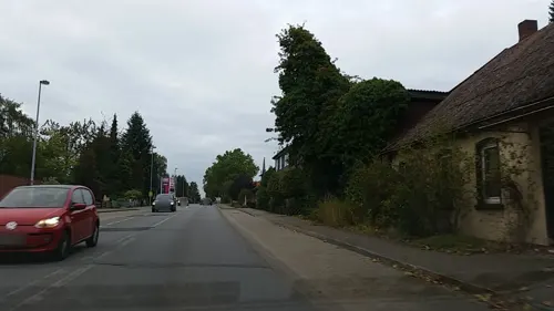
Gade's Hofladen
Farm and orchard · 5.3 km
Mo-Fr 08:00-18:00; Sa 08:00-14:00; PH off

Museums and landmarks9



Parks, trails and playgrounds8
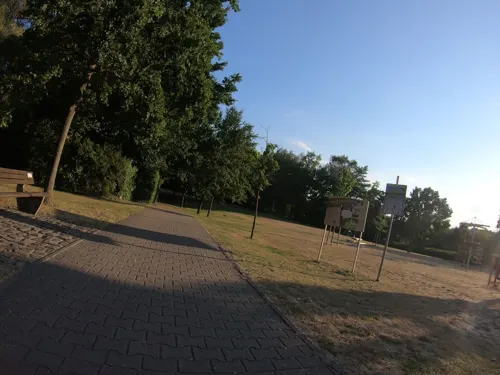
Drachen-Spielpark im Kurpark
Playground · 6.3 km
Ein neuer Spielplatz für Bad Bodenteich & Umgebung
24/7

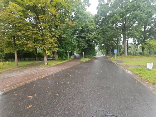
Waldbad
Sports field and stadium · 5.1 km
1 Am Waldbad, Bad Bodenteich


Restaurants and cafes23

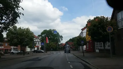
Sushi & Soul
Restaurant · Sushi · 6.0 km
9 Hauptstraße, Bad Bodenteich
Tu-Fr 11:00-15:00,17:00-20:00; Sa-Su 14:00-21:00; Mo off
Cafe und Restaurant 'Zur Esterholzer Schleuse'
Restaurant · 4.6 km
1 Schleuse-Esterholz, Wrestedt
We-Su 12:00-21:00
Landgasthof Grützmacher
Restaurant · Regional · 5.0 km
5 Kroetzer Allee, Wrestedt
Su,PH; "sowie zu besonderen Anlässen"
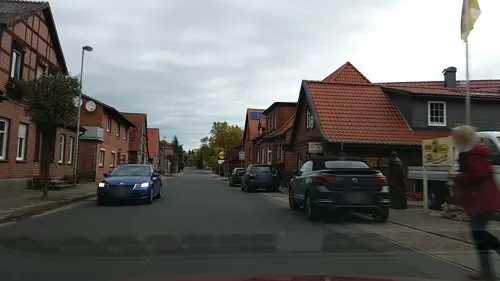
Zum alten Ritter
Restaurant · 5.7 km
19 Neustädter Straße, Bad Bodenteich
Mo-Su 11:30-14:30, 17:00-01:00
Valencia
Restaurant · 6.2 km
23 Hauptstraße, Bad Bodenteich
Mo, Th-Sa 12:00-14:30, 17:00-22:00; Su 12:00-22:00

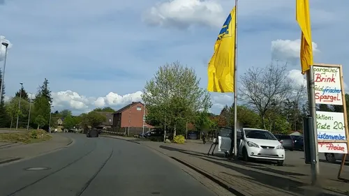
Gästehaus Am Bahnhof
Restaurant · Regional · 5.8 km
23 Bahnhofstraße, Bad Bodenteich



11 more on the map.
Where to stay5
Churches and places of worship9
St. Bonifatius
Church · Roman Catholic · 5.4 km
1 Lübbeckenkamp, Bad Bodenteich
Shopping11
Gas and EV charging4
Schools, colleges and libraries4
Healthcare3
Map of Wieren
81 places. The map loads OpenStreetMap tiles when you open it.
Getting there and nearby towns
Forschungsflughafen Braunschweig-Wolfsburg (BWE) is the nearest airport with scheduled flights listed in OpenStreetMap, 63 km away.
- Uelzen 11 km northwest, about 11 min by car
- Wittingen 18 km south, about 18 min by car
- Hansestadt Salzwedel 33 km east, about 33 min by car
- Sassenburg 41 km south, about 41 min by car
- Lüneburg 44 km north, about 44 min by car
- Gifhorn 46 km south, about 46 min by car
- Bergen 47 km west, about 47 min by car
- Celle 49 km southwest, about 49 min by car
- Wolfsburg 52 km south, about 52 min by car
- Soltau 56 km west, about 56 min by car
Drive times are estimates from straight-line distance, not routes.
Local news
Headlines from INDB.
Reviews, tips and questions
Loading what members have shared...
Sources and licences
- GeoNames (CC BY 4.0): population, coordinates, regions and time zone
- Mapillary (see each image): photos
- OpenStreetMap contributors (ODbL 1.0): places, airports, map data
- Wikidata (CC0 1.0): elevation, founding date, time zone, website
- Wikimedia Commons (see each image): photos
- Wikipedia (CC BY-SA 4.0): overview and history text
Photo credits
- DEU Niedersachsen Wieren 180712 004, ClausNe, CC BY-SA 4.0
- Wieren erixx 622 728 erx 82767-Uelzen-Braunschweig 6334, Torsten Bätge, Hamburg, GFDL
- Wieren - St Jakobus 02 ies, Frank Vincentz, CC BY-SA 3.0
- Droher Holz im Herbst - bei Emern im Landkreis Uelzen, Alinikus ( aber eigentlich Ole), CC BY-SA 4.0
- Wrestedt - Großsteingrab Kahlstorf 03 ies, Frank Vincentz, CC BY-SA 3.0
- Bad Bodenteich - Hauptstraße - St Petri ex 05 ies, Frank Vincentz, CC BY-SA 3.0
- Wieren - Feldsteinkirche 04 ies, Frank Vincentz, CC BY-SA 3.0
- Bad Bodenteich - Burgstraße - Burg - Herrenhaus 02 ies, Frank Vincentz, CC BY-SA 3.0
- St. Laurentius-Kirche Stederdorf, Fuchsfee1111, CC BY-SA 4.0
- Kirche Nettelkamp, ClausNe, CC BY-SA 4.0
- Kirche von außen, JanPom, CC BY-SA 4.0
- Kirche Ostedt 1, Nilbus98, CC BY-SA 4.0
- Eingang St.-Dionys.Kirche, LeniK, CC BY-SA 4.0
- Bad Bodenteich Kirche kath, Kirchenfan, CC0
- Kirche Ostedt 10, Nilbus98, CC BY-SA 4.0
- Das Kirchengebäude, LinMue ( Diskussion ), Public domain
- St.-Dionys-Kirche-Lehmke, LeniK, CC BY-SA 4.0
- Wrestedt Drohe Vorlaubenhaus, Doris Antony , Berlin, CC BY-SA 4.0
- Droher Bach (Esterau), smarties, CC BY-SA 4.0
- Street-level photo, tian, CC BY-SA 4.0
- Street-level photo, tian, CC BY-SA 4.0
- Street-level photo, hotteliene, CC BY-SA 4.0
- Street-level photo, tian, CC BY-SA 4.0
- Street-level photo, tian, CC BY-SA 4.0
- Street-level photo, tian, CC BY-SA 4.0
- Street-level photo, tian, CC BY-SA 4.0
- Street-level photo, tian, CC BY-SA 4.0
- Street-level photo, m4p1ll4ry, CC BY-SA 4.0
- Street-level photo, tian, CC BY-SA 4.0
- Street-level photo, Defne, CC BY-SA 4.0
- Street-level photo, tian, CC BY-SA 4.0
- Street-level photo, hotteliene, CC BY-SA 4.0
- Street-level photo, tian, CC BY-SA 4.0
- Street-level photo, tian, CC BY-SA 4.0
- Street-level photo, hotteliene, CC BY-SA 4.0
- Street-level photo, tian, CC BY-SA 4.0
- Street-level photo, hotteliene, CC BY-SA 4.0
- Street-level photo, hotteliene, CC BY-SA 4.0


Page built November 9, 2026. Spotted a mistake? Tell us or suggest a place.