


Why visit Wirges
Townapedia lists 12 museums and landmarks, 15 parks and trails, 39 places to eat, 3 places to stay and 8 attractions in and around town.
Highlights include Fussenacker and Hühnerhof Ramroth.
Weather in Wirges
Forecast from MET Norway (CC BY 4.0). Full forecast
About Wirges
Wirges (German pronunciation: [ˈvɪʁɡəs] ) is a town in the Westerwaldkreis in Rhineland-Palatinate, Germany.
From the Wikipedia article Wirges (this version), under CC BY-SA 4.0.
Things to do8

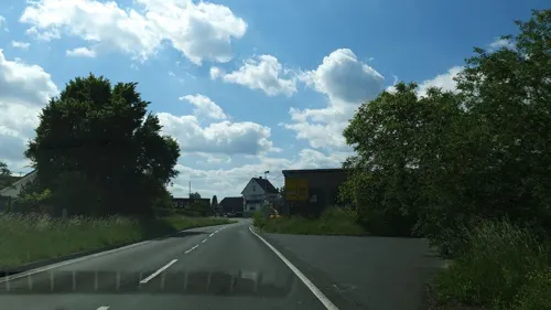
Hühnerhof Ramroth
Farm and orchard · 2.3 km
7 Kannenbäckerstraße
Tu-Fr 08:30-17:30, Sa 08:30-12:15

Museums and landmarks12


Parks, trails and playgrounds15

Aktivpark Erbsengarten
Park · 2.4 km
Grillstelle Fitnessparcours mit verschiedenen Outdoor-Fitnessgeräten Dirtbikeanlage Boulderturm zwei Stellplätze für Wohnmobile...


3 more on the map.
Restaurants and cafes39
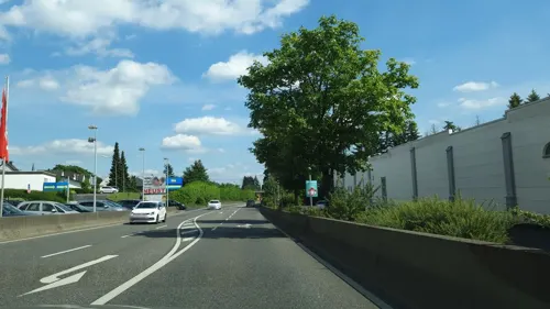
Da Bruno
Restaurant · Italian
8 Samoborstraße, Wirges
Mo-Sa 11:30-22:15; Su 11:30-14:30,17:00-22:00; PH Mo-Sa 11:30-22:00
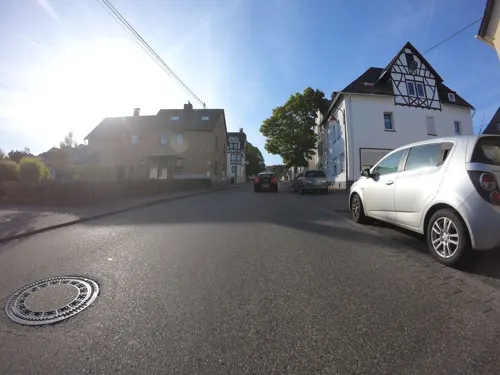
Konditorei Café Görg
Cafe · Cake · 2.0 km
81-83 Hauptstraße, Dernbach (Westerwald)
Tu-Sa 07:00-18:00; Su 11:00-18:00

idol Erlebnisgastronomie
Restaurant · German, Italian, Mexican, Pizza · 1.2 km
6 Halsschlag, Siershahn
Su-Th 11:00-24:00; Fr-Sa 11:00-03:00
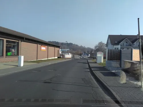
Olympia
Restaurant · Greek · 1.8 km
19 Hauptstraße, Dernbach (Westerwald)
Mo 17:30-23:30; Tu-Su 11:30-14:30,17:30-23:30
Taco Mexicana
Restaurant · Mexican · 2.3 km
17 Adolfstraße, Siershahn
We-Sa 18:00-22:00; Su,PH 17:30-22:00
Die Mühlenbäcker
Bakery
28A Bahnhofstraße, Wirges
Mo-Fr 06:00-18:00; Sa 07:00-18:00; Su 07:00-17:00

Nink's Backstube
Bakery · 1.9 km
6A Konrad-Adenauer-Platz, Siershahn
Mo-Sa 06:00-18:00


eGeLoSIa
Ice cream
28A Bahnhofstraße, Wirges
Apr-Oct: Mo-We 10:00-19:00; Apr-Oct: Th 11:00-18:00; Apr-Oct: ...
27 more on the map.
Where to stay3
Churches and places of worship17
Pfarrkirche St. Laurentius
Church · Catholic · 1.8 km
34 A Hauptstraße, Dernbach (Westerwald)
Shopping16
Gas and EV charging4
Schools, colleges and libraries7
Healthcare6
Map of Wirges
127 places. The map loads OpenStreetMap tiles when you open it.
Getting there and nearby towns
Siegerlandflughafen (SGE) is the nearest airport with scheduled flights listed in OpenStreetMap, 33 km away.
- Montabaur 4 km southeast, about 4 min by car
- Bendorf 16 km west, about 16 min by car
- Hadamar 18 km east, about 18 min by car
- Elz 18 km east, about 18 min by car
- Diez 18 km southeast, about 18 min by car
- Langendernbach 19 km northeast, about 19 min by car
- Koblenz 20 km southwest, about 20 min by car
- Limburg an der Lahn 20 km southeast, about 20 min by car
- Lahnstein 23 km southwest, about 23 min by car
- Neuwied 24 km west, about 24 min by car
Drive times are estimates from straight-line distance, not routes.
Local news
Headlines from INDB.
Reviews, tips and questions
Loading what members have shared...
Sources and licences
- GeoNames (CC BY 4.0): population, coordinates, regions and time zone
- Mapillary (see each image): photos
- OpenStreetMap contributors (ODbL 1.0): places, airports, map data
- Wikidata (CC0 1.0): elevation, founding date, time zone, website, landmarks and historic places
- Wikimedia Commons (see each image): photos
- Wikipedia (CC BY-SA 4.0): overview and history text
Photo credits
- Wirges5, LigaDue, CC BY-SA 4.0
- WirgesWesterwaelderDomStBonifatius1, LigaDue, CC BY-SA 4.0
- Fussenacker2, LigaDue, CC BY-SA 4.0
- Malberg-Staudt, Holgi44, CC BY-SA 3.0
- Steimel-Kapelle, Achim Ebenau, CC BY-SA 4.0
- EbernhahnMariaEmpfaengnis5, LigaDue, CC BY-SA 4.0
- StaudtStBartholomaeusNeueKirche5, LigaDue, CC BY-SA 4.0
- Street-level photo, stili, CC BY-SA 4.0
- Street-level photo, wizonede, CC BY-SA 4.0
- Street-level photo, robffm, CC BY-SA 4.0
- Street-level photo, bowallace, CC BY-SA 4.0
- Street-level photo, stili, CC BY-SA 4.0
- Street-level photo, stili, CC BY-SA 4.0
- Street-level photo, bowallace, CC BY-SA 4.0
- Street-level photo, wizonede, CC BY-SA 4.0
- Street-level photo, bowallace, CC BY-SA 4.0
- Street-level photo, kalcaaro, CC BY-SA 4.0
- Street-level photo, wizonede, CC BY-SA 4.0
- Street-level photo, stili, CC BY-SA 4.0
- Street-level photo, wizonede, CC BY-SA 4.0
- Street-level photo, wizonede, CC BY-SA 4.0
- Street-level photo, wizonede, CC BY-SA 4.0
- Street-level photo, wizonede, CC BY-SA 4.0
- Street-level photo, bowallace, CC BY-SA 4.0
- Street-level photo, bowallace, CC BY-SA 4.0
- Street-level photo, stili, CC BY-SA 4.0
- Street-level photo, bowallace, CC BY-SA 4.0
- Street-level photo, kalcaaro, CC BY-SA 4.0
- Street-level photo, wizonede, CC BY-SA 4.0

Page built November 9, 2026. Spotted a mistake? Tell us or suggest a place.