


Why visit Bendorf
Townapedia lists 96 museums and landmarks, 58 parks and trails, 108 places to eat, 23 places to stay and 29 attractions in and around town.
Highlights include Zoo Neuwied, Garten der Schmetterlinge, Denkmalareal Sayner Hütte and Schloss Sayn.
Weather in Bendorf
Forecast from MET Norway (CC BY 4.0). Full forecast
About Bendorf
Bendorf (German pronunciation: [ˈbɛndɔʁf] ) is a town in the district of Mayen-Koblenz, in Rhineland-Palatinate, Germany, on the right bank of the Rhine, approx. 7 kilometres (4 miles) north of Koblenz.
From the Wikipedia article Bendorf (this version), under CC BY-SA 4.0.
Travel tips from other travellers: Bendorf on Wikivoyage (CC BY-SA 4.0).
Things to do29

Zoo Neuwied
Zoo and aquarium · 3.5 km
Zoo in Germany
160 Waldstraße, Neuwied
Apr-Oct 09:00-18:00; Nov-Mar 09:00-17:00; Dec 24,31 09:00-12:00

Garten der Schmetterlinge
Zoo and aquarium · 1.8 km
100 Schloßstraße, Bendorf
Mar 15-Sep 30: 10:00-18:00; Oct: 10:00-17:00; Nov 01-Nov 10: 10:00-16:00



Kinopolis Koblenz
Cinema and theater · 4.2 km
2a August-Horch-Straße, Koblenz
Mo-Fr 15:30-21:15; Sa-Su 13:30-21:15

Theater Koblenz
Cinema and theater · 7.3 km
Theater in Koblenz, Rhineland-Palatinate, Germany



17 more on the map.
Museums and landmarks96

Denkmalareal Sayner Hütte
Museum · 2.0 km
Führungen nach Anmeldung
Mar-Oct: Tu-Su 10:00-18:00; Mar-Oct: Mo 13:00-18:00; Nov-Dec...

Schloss Sayn
Monument and historic site · 1.7 km
100 Schloßstraße, Bendorf
Mar 15-Sep 30: 10:00-18:00; Oct: 10:00-17:00; Nov 01-Nov 10: 10:00-16:00

Schloss Engers
Monument and historic site · 2.5 km
German palace
2 Alte Schloßstraße, Neuwied

Ehrenmal des Heeres in Koblenz
Monument and historic site · 6.9 km
War memorial in Koblenz, Germany


Mother of Beethoven House
Museum · 7.4 km
House of birth of the mother of Ludwig van Beethoven


84 more on the map.
Parks, trails and playgrounds58




Piratenland Neuwied
Sports field and stadium · 2.8 km
7 Igelweg, Neuwied
Mo-Fr 14:00-18:30; Sa-Su 10:30-18:30


46 more on the map.
Restaurants and cafes108
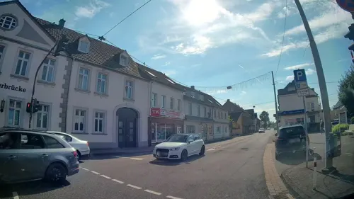
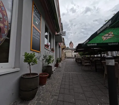
Bäckerei Hoefer
Cafe · Bakery · 0.7 km
157 Hauptstraße, Bendorf
Mo-Fr 06:00-17:30; Sa 06:00-17:00; Su,PH 07:00-17:00
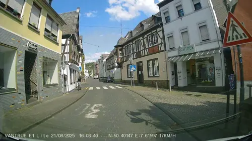
Herzog von Nassau
Restaurant · Balkan · 3.5 km
1 Höhrer Straße, Vallendar
Mo off; Tu-Sa 11:00-14:00,16:30-23:00; PH 11:00-22:00
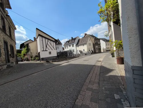
Pizzeria Hahn
Restaurant · Pizza · 1.8 km
54 Hauptstraße, Weitersburg
Mo-Sa 11:30-14:30,17:00-23:00; Tu off; Su 11:30-23:00
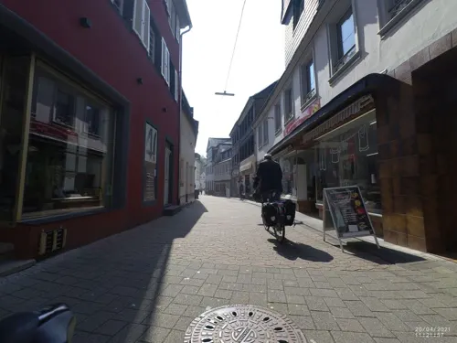
Ristaurante Petrocelli
Restaurant · Italian, Pizza · 3.6 km
40 Heerstraße, Vallendar
We-Mo 11:30-22:00
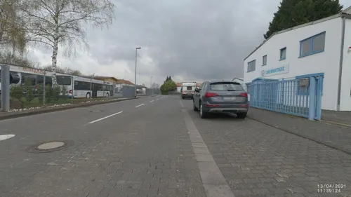
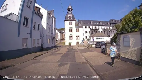
Ristorante Rialto
Restaurant · Italian · 3.7 km
77 Löhrstraße, Vallendar
Tu-Sa 11:30-14:15, 17:30-22:00; Mo off
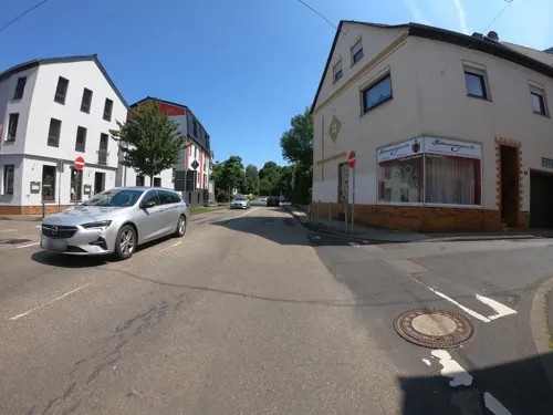


Rosa Damascena
Restaurant · Oriental · 3.8 km
16 Heerstraße, Vallendar
Mo-Fr 15:30-21:30; Sa, Su 16:00-21:30


Bäckerei Klingseisen
Bakery · 3.7 km
30 Heerstraße, Vallendar
Mo-Fr 06:00-17:00; Sa 05:00-13:00; Su 07:00-11:00; PH off
96 more on the map.
Where to stay23
Residenz Schloß Enger (Unterkunft Landesmusikschule)
Motel and hotel · 2.5 km
2 Alte Schloßstraße, Neuwied
Abtei Sayn - Herberge - Events - Tagungen
Motel and hotel · 1.8 km
130 Abteistraße, Bendorf
Churches and places of worship42
Anbetungskirche
Church · Roman Catholic · 4.3 km
6 Berg Schönstatt, Vallendar
St. Marzellinus und Petrus
Church · Catholic · 3.4 km
27 Kirchstraße, Vallendar
Shopping37
Gas and EV charging17
Schools, colleges and libraries30
Healthcare13
Palm Pharma Apotheke
Clinic and pharmacy · 4.4 km
2 Jakob-Caspers-Straße, Koblenz
Map of Bendorf
250 places. The map loads OpenStreetMap tiles when you open it.
Getting there and nearby towns
Siegerlandflughafen (SGE) is the nearest airport with scheduled flights listed in OpenStreetMap, 48 km away.
- Koblenz 8 km south, about 8 min by car
- Neuwied 8 km west, about 8 min by car
- Lahnstein 14 km south, about 14 min by car
- Montabaur 17 km east, about 17 min by car
- Boppard 21 km south, about 21 min by car
- Sinzig 27 km northwest, about 27 min by car
- Mayen 27 km southwest, about 27 min by car
- Remagen 30 km northwest, about 30 min by car
- Diez 31 km east, about 31 min by car
- Limburg an der Lahn 34 km east, about 34 min by car
Drive times are estimates from straight-line distance, not routes.
Local news
Headlines from INDB.
Reviews, tips and questions
Loading what members have shared...
Sources and licences
- GeoNames (CC BY 4.0): population, coordinates, regions and time zone
- Mapillary (see each image): photos
- OpenStreetMap contributors (ODbL 1.0): places, airports, map data
- Wikidata (CC0 1.0): elevation, founding date, time zone, website, landmarks and historic places
- Wikimedia Commons (see each image): photos
- Wikipedia (CC BY-SA 4.0): overview and history text
Photo credits
- St. Medardus (Bendorf)2, Chris06, CC0
- Bendorf, tsjerkhôfkapel, RomkeHoekstra, CC BY-SA 4.0
- Bendorf, herberge "Vater Rhein", RomkeHoekstra, CC BY-SA 4.0
- Bendorf, Untere Vallendarer Str. 19, RomkeHoekstra, CC BY-SA 4.0
- A48 - Kreuz 11, Bendorf - Neuwied - geo-en.hlipp.de - 12133, Sebastian und Kari, CC BY-SA 2.0
- Bendorf Wasserturm 2022, Oberlausitzerin64, CC BY-SA 4.0
- Bendorf Sayn Heins Muehle, Oberlausitzerin64, CC BY-SA 4.0
- Rheinbrücke-Bendorf2, Störfix, CC BY-SA 3.0 de
- Zoo-neuwied-allee, A.Savin, CC BY-SA 3.0
- Balduinbruecke in Autumn Sun, Cristina Sarasua, CC BY-SA 4.0
- Il ponte di Cesare sul Reno, Lo Scaligero, Public domain
- Koblenz im Buga-Jahr 2011 - Theater 01, Holger Weinandt, CC BY-SA 3.0 de
- Schloss Engers 008-, Wolkenkratzer, CC BY-SA 3.0
- Koblenz im Buga-Jahr 2011 - Ehrenmal des Deutschen Heeres 01, Holger Weinandt, CC BY-SA 3.0 de
- Mutter-Beethoven-Haus 01 Koblenz-Ehrenbreitstein 2013, Holger Weinandt, CC BY-SA 3.0 de
- Koblenz im Buga-Jahr 2011 - Basilika St Kastor 01, Holger Weinandt, CC BY-SA 3.0 de
- Vallendar Marienburg 86, Reinhardhauke, CC BY-SA 3.0
- Schönstatt - Aanbiddingskerk, RomkeHoekstra, CC BY-SA 3.0
- Evangelische Pfarrkirche Engers, tohma, CC BY-SA 4.0
- Denkmalareal Sayner Hütte, ECAP 1718, CC BY-SA 4.0
- Kaiser-Friedrich-Turm Vallendar, Holger Weinandt, CC BY-SA 3.0 de
- NiederwerthStGeorg9, LigaDue, CC BY-SA 4.0
- Sayn, Abtei Sayn, Wolkenkratzer, CC BY-SA 3.0
- VallendarMarzellinusPetrus4, LigaDue, CC BY-SA 4.0
- Kaltenengers 002, St. Sylvester, Wolkenkratzer, CC BY-SA 4.0
- Sankt Georg Urmitz, Tohma ( talk ), CC BY-SA 4.0
- StrombergBendorfStAnna2, LigaDue, CC BY-SA 4.0
- Urheiligtum Schönstatt, $traight-$hoota, CC BY-SA 3.0
- 2006-05-05 Schloss Sayn 01, Lothar Spurzem, CC BY-SA 2.0 de
- Sayn mit Burg, Unknown author, CC BY 2.5
- Niederwerth Graswerth, Whgler, CC BY-SA 3.0
- Naturschutzgebiet Meerheck Kreis Neuwied Rheinland-Pfalz, Atbama, CC BY-SA 4.0
- Abteikirche Sayn, Nahum 612, CC0
- Bendorfer Brücke 02 Koblenz 2014, Holger Weinandt, CC BY-SA 3.0 de
- Sayner Hütte, 1869, N.N., Public domain
- Niederwerth St. Georg 98 (bearb Sp 2), GFreihalter, CC BY-SA 3.0
- Koblenz, die Konpfortstraße und das Dreikönigenhaus, Dguendel, CC BY 3.0
- Bensdorf, sculptuur op de Untere Vallendarer Strasse foto5 2017-06-01 15.55, Michielverbeek, CC BY-SA 4.0
- Pfarrkirche St. Sebastian 2, Asperatus, CC BY-SA 4.0
- Grabkreuze St. Sebastian 2, Asperatus, CC BY-SA 4.0
- Street-level photo, kalcaaro, CC BY-SA 4.0
- Street-level photo, kalcaaro, CC BY-SA 4.0
- Street-level photo, kalcaaro, CC BY-SA 4.0
- Street-level photo, mfa, CC BY-SA 4.0
- Street-level photo, Lulin, CC BY-SA 4.0
- Street-level photo, Hightower-, CC BY-SA 4.0
- Street-level photo, VIA_CH, CC BY-SA 4.0
- Street-level photo, Hightower-, CC BY-SA 4.0
- Street-level photo, bernd1960, CC BY-SA 4.0
- Street-level photo, VIA_CH, CC BY-SA 4.0
- Street-level photo, bernd1960, CC BY-SA 4.0
- Street-level photo, VIA_CH, CC BY-SA 4.0
- Street-level photo, bernd1960, CC BY-SA 4.0
- Street-level photo, mfa, CC BY-SA 4.0
- Street-level photo, bernd1960, CC BY-SA 4.0
- Street-level photo, michellefritz, CC BY-SA 4.0
- Street-level photo, bernd1960, CC BY-SA 4.0
- Street-level photo, Lowiekse, CC BY-SA 4.0
- Street-level photo, bitnapper, CC BY-SA 4.0
- Street-level photo, Hightower-, CC BY-SA 4.0
- Street-level photo, VIA_CH, CC BY-SA 4.0
- Street-level photo, kalcaaro, CC BY-SA 4.0
- Street-level photo, stili, CC BY-SA 4.0
- Street-level photo, Hightower-, CC BY-SA 4.0
- Street-level photo, Lowiekse, CC BY-SA 4.0
- Street-level photo, wladimir, CC BY-SA 4.0
- Street-level photo, kalcaaro, CC BY-SA 4.0


Page built November 8, 2026. Spotted a mistake? Tell us or suggest a place.