


Montabaur, Germany
Verbandsgemeinde Montabaur
Montabaur is a town of 12,345 people in Rheinland-Pfalz, Germany.
Why visit Montabaur
Townapedia lists 39 museums and landmarks, 9 parks and trails, 61 places to eat, 6 places to stay and 10 attractions in and around town.
Highlights include Rossbergerhof Hofladen, Capitol Montabaur, Kultur im Keller (Historica Gewölbe) and Castle Montabaur.
Weather in Montabaur
Forecast from MET Norway (CC BY 4.0). Full forecast
About Montabaur
Montabaur is a Verbandsgemeinde ("collective municipality") in the district Westerwaldkreis, in Rhineland-Palatinate, Germany. The seat of the Verbandsgemeinde is in Montabaur.
From the Wikipedia article Montabaur (Verbandsgemeinde) (this version), under CC BY-SA 4.0.
Things to do10

Rossbergerhof Hofladen
Farm and orchard · 1.8 km
4 Rossberger Hof, Montabaur
Th-Fr 14:00-18:00; Sa 09:00-13:00



Museums and landmarks39

Kultur im Keller (Historica Gewölbe)
Museum · 0.6 km
Die einzige regelmäßig stattfindende Kulturreihe in Montabaur




Adolf Heimann
Monument and historic site
Deportiert 1942 – Richtung Osten – für tot erklärt 8. 5. 1945
Albert Kahn
Monument and historic site
Deportiert 1942 – Theresienstadt – 1942 Treblinka – ermordet
27 more on the map.
Parks, trails and playgrounds9

Mons-Tabor-Bad
Sports field and stadium · 1.3 km
Eifelstraße, Montabaur
Mo 15:00-19:00; Tu 14:30-19:00; We 14:30-19:00; Th-Fr 14:30-21:00;...



Restaurants and cafes61

Back to the Roots
Restaurant · Turkish · 0.6 km
Restaurant Café Bar mit Mittagsmenüs
4 Weserstraße, Montabaur
Mo,We-Fr 12:00-14:00,17:00-01:00, Sa 17:00-01:00, Su...
Alla Vecchia Stazione
Restaurant · Italian · 0.7 km
2 Hohe Straße, Montabaur
Mo,Th,Fr,Su 12:00-14:00,17:30-24:00; Sa 17:30-24:00
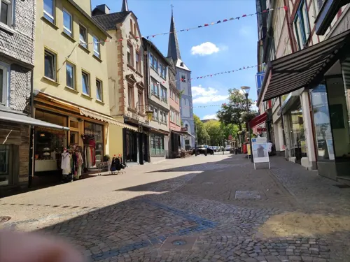
Tay Do
Restaurant · Chinese, Thai, Vietnamese · 0.6 km
44 Kirchstraße, Montabaur
Tu-Su,PH 11:00-15:00,17:00-22:00
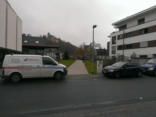
Trattoria Da Salvo
Restaurant · Italian · 0.7 km
3-5 Aubachstraße
Mo, We-Su 11:30-14:30, 17:30-23:00; Tu off
Artischocke
Restaurant
30 Vorderer Rebstock, Montabaur
Tu-Fr 11:30-14:30, 17:30-22:30; Sa, Su 17:30-22:30; Mo off
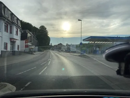
Bäckerei Café Grund
Cafe · 0.7 km
16b Alleestraße, Montabaur
Mo-Fr 05:30-18:00; Sa 06:00-17:00; Su 07:00-17:00
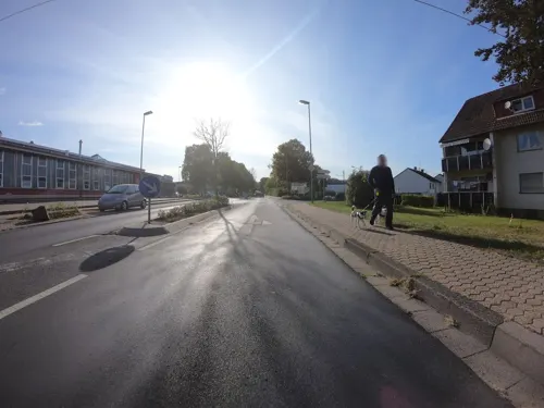
Hong Yun
Restaurant · Chinese
China Restaurant & Eiscafé
49 Elgendorfer Straße, Montabaur
Mo, We-Su,PH 11:30-15:00, 17:30-22:00
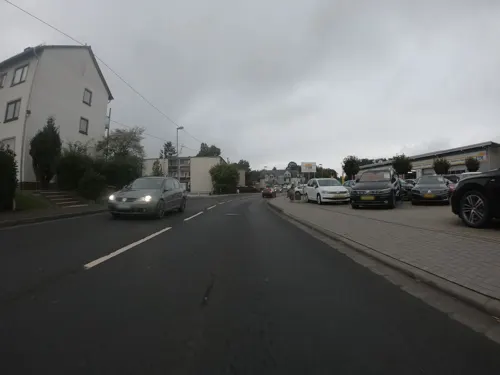


Pettinari's
Restaurant · 0.7 km
2 Koblenzer Straße, Montabaur
We-Sa 17:30-23:00; Su 11:30-14:00,17:00-22:00; Mo-Tu off
Pizza-Taxi Toscana
Restaurant · Pizza · 0.7 km
Mo-Sa 11:00-13:50,17:00-21:50, Su 17:00-21:50, Tu closed
49 more on the map.
Where to stay6
Churches and places of worship18
Sankt Johannes der Täufer
Church · Roman Catholic · 2.3 km
1 A Buchenstraße, Montabaur
Kath. Kirche zur Hl. Familie des Mutterhauses der Barmherzigen Brüder
Church · Catholic · 0.7 km
Neuapostolische Kirche
Church · New Apostolic · 1.0 km
44 Spessartstraße, Montabaur
Shopping18
Gas and EV charging10
Schools, colleges and libraries18
Kreisvolkshochschule Westerwald e.V.
School · 0.7 km
1 Peter-Altmeier-Platz, Montabaur
Healthcare5
Stadtapotheke Montabaur
Clinic and pharmacy · 0.7 km
9a Koblenzer Straße, Montabaur
Map of Montabaur
194 places. The map loads OpenStreetMap tiles when you open it.
Getting there and nearby towns
Siegerlandflughafen (SGE) is the nearest airport with scheduled flights listed in OpenStreetMap, 35 km away.
- Hadamar 16 km east, about 16 min by car
- Limburg an der Lahn 17 km east, about 17 min by car
- Koblenz 20 km southwest, about 20 min by car
- Neuwied 25 km west, about 25 min by car
- Weilburg 32 km east, about 32 min by car
- Bad Camberg 35 km southeast, about 35 min by car
- Bad Schwalbach 37 km southeast, about 37 min by car
- Taunusstein 39 km southeast, about 39 min by car
- Idstein 40 km southeast, about 40 min by car
- Burbach 39 km northeast, about 39 min by car
Drive times are estimates from straight-line distance, not routes.
Local news
Headlines from INDB.
Reviews, tips and questions
Loading what members have shared...
Sources and licences
- GeoNames (CC BY 4.0): population, coordinates, regions and time zone
- Mapillary (see each image): photos
- OpenStreetMap contributors (ODbL 1.0): places, airports, map data
- Wikidata (CC0 1.0): elevation, founding date, time zone, website, landmarks and historic places
- Wikimedia Commons (see each image): photos
- Wikipedia (CC BY-SA 4.0): overview and history text
Photo credits
- WirgesWesterwaelderDomStBonifatius1, LigaDue, CC BY-SA 4.0
- MontabaurAnneFrankSchule2, LigaDue, CC BY-SA 4.0
- Fussenacker2, LigaDue, CC BY-SA 4.0
- Mtg luftaufnahme2, Sabine Eggenberger, CC BY-SA 3.0
- Schloss Montabaur auf dem Schlossberg Westerwaldkreis Rheinland-Pfalz - Foto Wolfgang Pehlemann DSCN6539, Wolfgang Pehlemann, CC BY-SA 3.0
- Montabaur St Peter in Ketten Fassade, Uwe Barghaan, CC BY 3.0
- MontabaurBruederkirche1, LigaDue, CC BY-SA 4.0
- MontabaurEvangelischePauluskirche3, LigaDue, CC BY-SA 4.0
- HorressenMontabaurStJohannesDerTaeufer4, LigaDue, CC BY-SA 4.0
- Stolperstein Montabaur Alleestraße 5 David Levy, Tomtom10, CC BY-SA 4.0
- Stolperstein Montabaur Alleestraße 8a Frieda Stern, Tomtom10, CC BY-SA 4.0
- Stolperstein Montabaur Alleestraße 8a Julius Stern, Tomtom10, CC BY-SA 4.0
- Stolperstein Montabaur Alleestraße 8a Ludwig Stern, Tomtom10, CC BY-SA 4.0
- Stolperstein Montabaur Alleestraße 5 Moses Falkenstein, Tomtom10, CC BY-SA 4.0
- Stolperstein Montabaur Ignatius-Lötschert-Straße 2 Ottmar Vey, Tomtom10, CC BY-SA 4.0
- MontabaurSpiessweiher6, LigaDue, CC BY-SA 4.0
- Schloss Montabaur 010, Wolkenkratzer, CC BY-SA 4.0
- St. Peter in Ketten (Montabaur) 001, Wolkenkratzer, CC BY-SA 4.0
- MontabaurSpiessweiher4, LigaDue, CC BY-SA 4.0
- Street-level photo, lokilech, CC BY-SA 4.0
- Street-level photo, kammann, CC BY-SA 4.0
- Street-level photo, wizonede, CC BY-SA 4.0
- Street-level photo, wizonede, CC BY-SA 4.0
- Street-level photo, wizonede, CC BY-SA 4.0
- Street-level photo, ziltoidium, CC BY-SA 4.0
- Street-level photo, wizonede, CC BY-SA 4.0
- Street-level photo, robffm, CC BY-SA 4.0
- Street-level photo, wizonede, CC BY-SA 4.0
- Street-level photo, wizonede, CC BY-SA 4.0
- Street-level photo, wizonede, CC BY-SA 4.0
- Street-level photo, kalcaaro, CC BY-SA 4.0
- Street-level photo, wizonede, CC BY-SA 4.0
- Street-level photo, wizonede, CC BY-SA 4.0
- Street-level photo, wizonede, CC BY-SA 4.0
- Street-level photo, wizonede, CC BY-SA 4.0
- Street-level photo, wizonede, CC BY-SA 4.0
- Street-level photo, wizonede, CC BY-SA 4.0
- Street-level photo, wizonede, CC BY-SA 4.0
- Street-level photo, wizonede, CC BY-SA 4.0
- Street-level photo, wizonede, CC BY-SA 4.0


Page built November 8, 2026. Spotted a mistake? Tell us or suggest a place.