


Why visit Wittmund
Townapedia lists 64 museums and landmarks, 29 parks and trails, 110 places to eat, 25 places to stay and 5 attractions in and around town.
Highlights include Haustierpark Werdum, Christianshof Middoge, Feuerwehrmuseum Jever and Getreuen- und Bismarckmuseum.
Weather in Wittmund
Forecast from MET Norway (CC BY 4.0). Full forecast
About Wittmund
Wittmund (German pronunciation: [ˈvɪtˌmʊnt] ) is a town and capital of the district of Wittmund, in Lower Saxony, Germany.
From the Wikipedia article Wittmund (this version), under CC BY-SA 4.0.
Travel tips from other travellers: Wittmund on Wikivoyage (CC BY-SA 4.0).
Things to do5



Erotisches Kaufhaus und Kino
Cinema and theater · 0.7 km
Mo,Tu,Th,Sa 10:00-22:00; We,Fr 10:00-23:00; Su 13:00-21:00

Museums and landmarks64

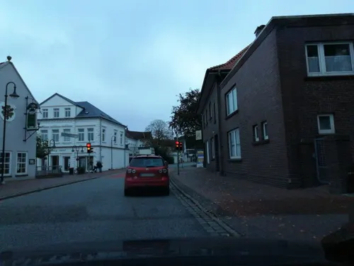


Brauereimuseum
Museum · 8.4 km
4 Theodor-Fetköter-Straße, Jever
Tu-Fr 09:30-16:30; Sa 09:30-12:30

Fräulein Maria
Monument and historic site · 8.4 km
Am 5. September 1900 setzten Jeveraner ihrer letzten Regentin Fräulein Maria zum 400. Geburtstag ein Bronzedenkma.

GröschlerHaus
Museum · 8.1 km
19 Große Wasserpfortstraße, Jever
Tu,Fr 10:00-12:00, Th 15:00-17:00



Landwirtschaftsmuseum
Museum · 8.8 km
9a Hooksweg, Jever
Mar-Sep: Sa-Su 14:00-17:00; Jul-Aug: We 14:00-17:00 || "an...

Meilenstein B 210
Monument and historic site · 4.3 km
Kilometerstein an der B 210 zwischen Wittmund und Aurich
52 more on the map.
Parks, trails and playgrounds29

Aqua Fit
Sports field and stadium · 11.6 km
Seit Mai 2015 ist das Bad bereits geschlossen. Circa Mitte 2018 soll es wieder eröffnen. Seit den 23.02.2019 wieder eröffnet
37 Beethovenstraße, Schortens
We 06:00-08:00, We-Fr 15:00-21:00, Sa 14:00-19:00, Su,PH 11:00-19:00

Naturfreibad Schortens
Sports field and stadium · 11.0 km
1 Am Schwimmbad, Schortens
Mo-Su 09:00-20:00


Naturschutzhof Wittmunder Wald
Sports field and stadium · 3.7 km
92 Auricher Straße, Wittmund

17 more on the map.
Restaurants and cafes110
Haus der Getreuen
Restaurant · Regional · 8.4 km
Treffpunkt der "Getreuen zu Jever", seit 1871 Stammtisch von Jeveranern.
1 Schlachtstraße, Jever
Tu-Su 11:00-23:00
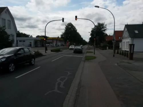
Akropolis
Restaurant · Greek
22 Auricher Straße, Wittmund
Tu-Sa 17:00-23:00; Su 12:00-14:00, 17:00-23:00
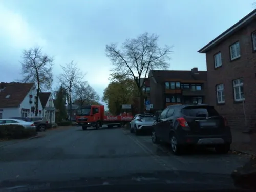

Bäckerei- & Konditorei Ulfers Eden
Bakery · 7.7 km
28 Bahnhofstraße, Jever
Mo-Fr 06:00-13:00; Sa 06:00-12:00; Su 07:30-12:00
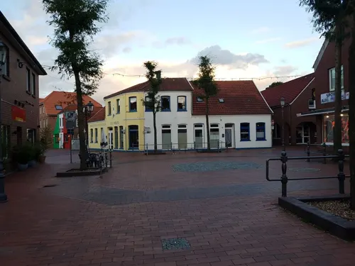
Die Bohnenbrüder
Cafe · Coffee Shop, Cake, Bagel, Breakfast
11 Burgstraße, Wittmund
Th-Tu 14:00-19:00, Mo,Tu,Th-Sa 11:00-14:00
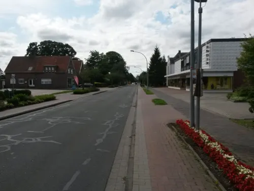
Die Mühle
Restaurant · Italian
11 Auricher Straße, Wittmund
Tu-Th 17:00-22:00; Fr-Su 11:30-14:00,17:00-22:00
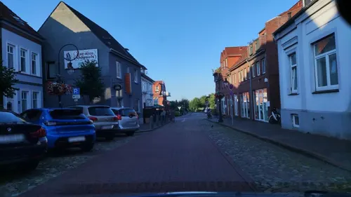

Harle - Stübchen
Restaurant · German · 0.7 km
13 Osterstraße, Wittmund
Mo-Sa,PH 11:00-14:00,18:00-22:00; Su 15:00-21:00
La Casetta
Restaurant · Italian · 7.6 km
44 Bahnhofstraße, Jever
Tu-Su 12:00-14:30,17:00-22:00; Mo off
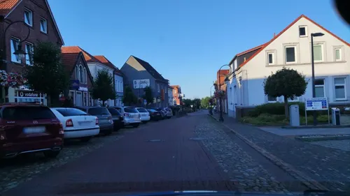


LaVie - Am Alten Markt
Restaurant · American, Mexican, Spanish, Tapas, Barbecue · 8.5 km
2 Alter Markt, Jever
Mo-Sa 12:00-23:00; PH off

98 more on the map.
History
The town of Wittmund, on the edge of the geest, and its surroundings are an ancient area of settlement. It was linked to inland East Frisia's network of roads early on and commercially oriented to the nearby coast. Around 1200, Wittmund was the hub of the rural parish (Landgemeinde) of Wangerland and was called Wiedemund or Wiedemundheim at that time. The territorial units of the rural parishes were based roughly on old Frisian districts. Esens was the administrative centre of the Harlingerland.
The chieftain family of Kankena lived in a castle in the town in the late 14th century. Around 1400, Hamburg forces occupied the castle grounds as a result of allegations that the Kankenas had supported piracy against the Hanseatic city. The release of the castle into the hands of the ruling chieftain family of tom Brok saw the Kankenas regaining possession of their estate.
From the History section of Wittmund on Wikipedia, under CC BY-SA 4.0.
Where to stay25
Churches and places of worship27
Ardorfer Kirche
Church · Lutheran · 7.3 km
10 Bei der Kirche, Wittmund
Cäcilien- und Margarethenkirche
Church · Lutheran · 5.3 km
2 Brinkerstraße, Wittmund
Maria-Magdalena-Kirche
Church · Lutheran · 6.3 km
18 Berdumer Dorfstraße, Wittmund
Shopping38
Gas and EV charging17
Schools, colleges and libraries27
Verlässliche Grundschule Leerhafe/Ardorf - Schulstandort Ardorf
School · 7.2 km
3 Bei der Kirche, Wittmund
Healthcare9
Map of Wittmund
250 places. The map loads OpenStreetMap tiles when you open it.
Getting there and nearby towns
JadeWeserAirport (WVN) is the nearest airport with scheduled flights listed in OpenStreetMap, 20 km away.
- Jever 8 km east, about 8 min by car
- Stedesdorf 9 km northwest, about 9 min by car
- Friedeburg 14 km south, about 14 min by car
- Zetel 22 km southeast, about 22 min by car
- Apen 40 km south, about 40 min by car
- Ostrhauderfehn 50 km south, about 50 min by car
- Bremerhaven 53 km east, about 53 min by car
- Oldenburg 57 km southeast, about 57 min by car
- Emstek 86 km south, about 1 h 30 min by car
- Bremen 88 km southeast, about 1 h 30 min by car
Drive times are estimates from straight-line distance, not routes.
Local news
Headlines from INDB.
Reviews, tips and questions
Loading what members have shared...
Sources and licences
- GeoNames (CC BY 4.0): population, coordinates, regions and time zone
- Mapillary (see each image): photos
- OpenStreetMap contributors (ODbL 1.0): places, airports, map data
- Wikidata (CC0 1.0): elevation, founding date, time zone, website
- Wikimedia Commons (see each image): photos
- Wikipedia (CC BY-SA 4.0): overview and history text
Photo credits
- 2011 08 Wittmund Brückstraße 1a, WHVer , Uwe Karwath, Wilhelmshaven, CC BY 3.0
- Windmühle wittmund, Varus111, CC BY-SA 4.0
- Wittmund Kirche Hoehenfestpunkt, Oberlausitzerin64, CC BY-SA 4.0
- Wittmund Kirche Infotafel Hoehenfestpunkt, Oberlausitzerin64, CC BY-SA 4.0
- Höhenmarke Wittmund Kirche Südseite, Ulrich Kulle, CC BY-SA 4.0
- Höhenmarke Wittmund, Ulrich Kulle, CC BY-SA 4.0
- Wittmund Kirche St. Nicolai, Oberlausitzerin64, CC BY-SA 4.0
- 20260814.Marktplatz in Wittmund.-013, Bybbisch94, CC BY-SA 4.0
- 20260813.Marktplatz in Wittmund.-012, Bybbisch94, CC BY-SA 4.0
- Wir sitzen alle in einem Boot (Wittmund) 2, Gerd Fahrenhorst, CC BY 4.0
- Wir sitzen alle in einem Boot (Wittmund) 1, Gerd Fahrenhorst, CC BY 4.0
- 20260814.Marktplatz in Wittmund.-012, Bybbisch94, CC BY-SA 4.0
- 20260813.Marktplatz in Wittmund.-011, Bybbisch94, CC BY-SA 4.0
- 20260813.Marktplatz in Wittmund.-033, Bybbisch94, CC BY-SA 4.0
- 20260813.Marktplatz in Wittmund.-034, Bybbisch94, CC BY-SA 4.0
- 20260813.Marktplatz in Wittmund.-021, Bybbisch94, CC BY-SA 4.0
- 20260813.Marktplatz in Wittmund.-031, Bybbisch94, CC BY-SA 4.0
- 20260814.Marktplatz in Wittmund.-036, Bybbisch94, CC BY-SA 4.0
- 20260814.Marktplatz in Wittmund.-034, Bybbisch94, CC BY-SA 4.0
- 20260814.Marktplatz in Wittmund.-033, Bybbisch94, CC BY-SA 4.0
- 20260814.Marktplatz in Wittmund.-035, Bybbisch94, CC BY-SA 4.0
- 20260814.Marktplatz in Wittmund.-014, Bybbisch94, CC BY-SA 4.0
- 20260813.Marktplatz in Wittmund.-032, Bybbisch94, CC BY-SA 4.0
- 20260814.Marktplatz in Wittmund.-011, Bybbisch94, CC BY-SA 4.0
- 20260813.Marktplatz in Wittmund.-023, Bybbisch94, CC BY-SA 4.0
- 20260813.Marktplatz in Wittmund.-022, Bybbisch94, CC BY-SA 4.0
- Bahnhofsschild Wittmund 170511, Clic, CC BY-SA 4.0
- Bahnhof Wittmund 170511, Clic, CC BY-SA 4.0
- Wittmund, Ardorf, Kirche, ardorfeu, CC BY-SA 3.0
- Jever Kapelle im Sonnenaufgang, Benutzer:GregorHelms, Public domain
- ChurchBlersum, Frisia Orientalis, CC BY-SA 3.0
- Kirche Leerhafe (Nordseite), GregorHelms, CC BY-SA 3.0
- Berdum 01, K. Siereveld, Public domain
- DunumKirche, Frisia Orientalis, CC BY-SA 3.0
- 2009 09 Jever Edo Wiemken Grabmal, WHVer , Uwe Karwath, Wilhelmshaven, CC BY 3.0
- ChurchMiddels, Frisia Orientalis, CC BY-SA 3.0
- Jever (5), Dickelbers, CC BY-SA 3.0
- ChurchBurhafe, Frisia Orientalis, CC BY-SA 3.0
- Westrumer Kirche (Südseite), GregorHelms, CC BY-SA 3.0
- Kirche Wiefels (Südostseite), Peter.H.Carls, CC BY 3.0
- Ostfriesland msu-0411, User:Matthias Süßen, CC BY-SA 3.0
- Feuerwehr Museum Jever 2018-09, Gerd Fahrenhorst, CC BY 4.0
- 20130603.Jever.-26.0, Bybbisch94, Christian Gebhardt, CC BY-SA 4.0
- Katholische Kirche St. Bonifatius, Eastfrisian, CC BY-SA 3.0
- Fräulein-Maria-Denkmal jever 2019-04-20 -1, Z thomas, CC BY-SA 4.0
- Slot van Jever, Gouwenaar, Public domain
- Edo Wiemken-Denkmal, -- BBKurt, CC BY-SA 3.0
- Mariengymnasium Jever, Unknown author, CC BY-SA 3.0
- Schloss Jever, Leit, Public domain
- Street-level photo, hotzi57, CC BY-SA 4.0
- Street-level photo, friesede, CC BY-SA 4.0
- Street-level photo, friesede, CC BY-SA 4.0
- Street-level photo, tim1977, CC BY-SA 4.0
- Street-level photo, derlipper, CC BY-SA 4.0
- Street-level photo, abmap, CC BY-SA 4.0
- Street-level photo, hotteliene, CC BY-SA 4.0
- Street-level photo, hotteliene, CC BY-SA 4.0
- Street-level photo, hotteliene, CC BY-SA 4.0
- Street-level photo, hotzi57, CC BY-SA 4.0
- Street-level photo, hotzi57, CC BY-SA 4.0
- Street-level photo, Viator_Invisibilis, CC BY-SA 4.0
- Street-level photo, friesede, CC BY-SA 4.0
- Street-level photo, derlipper, CC BY-SA 4.0
- Street-level photo, abmap, CC BY-SA 4.0
- Street-level photo, friesede, CC BY-SA 4.0
- Street-level photo, thetornado76, CC BY-SA 4.0
- Street-level photo, hotteliene, CC BY-SA 4.0
- Street-level photo, hotzi57, CC BY-SA 4.0
- Street-level photo, hotteliene, CC BY-SA 4.0
- Street-level photo, hotteliene, CC BY-SA 4.0
- Street-level photo, derlipper, CC BY-SA 4.0


Page built November 8, 2026. Spotted a mistake? Tell us or suggest a place.