


Why visit Acle
Townapedia lists 5 museums and landmarks, 4 parks and trails, 16 places to eat, 1 place to stay and 1 attraction in and around town.
Highlights include The Broads and South Walsham Fen.
Weather in Acle
Forecast from MET Norway (CC BY 4.0). Full forecast
About Acle
Acle is a market town on the River Bure on the Norfolk Broads in Norfolk, located halfway between Norwich and Great Yarmouth. It has the only bridge across the River Bure between Wroxham and Great Yarmouth.
From the Wikipedia article Acle (this version), under CC BY-SA 4.0.
Travel tips from other travellers: Acle on Wikivoyage (CC BY-SA 4.0).
Things to do1

Museums and landmarks5


Parks, trails and playgrounds4

The Broads
Park · 2.9 mi
Network of rivers and lakes in the English counties of Norfolk and Suffolk

Restaurants and cafes16
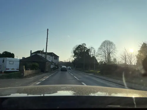
The Hermitage Public House & Restaurant
Restaurant · Regional · 0.5 mi
64 Old Road, Norwich
Mo-We 15:00+; Th-Su 12:00+
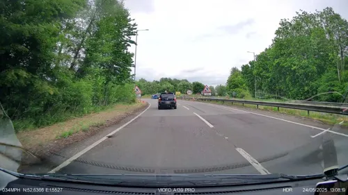



Moulton Nursery & Cafe
Cafe · Local · 1.7 mi
Acle Road
Mo-Sa 08:30-17:00; Su 10:00-16:00
The Anchor Café
Cafe · Coffee Shop, Ice Cream, Cake, Tea, Juice · 1.6 mi
Fr-Su 10:00-16:00
4 more on the map.
History
In Roman times, Acle was a port at the head of a large estuary named Gariensis. Acle is mentioned in the Domesday Book, and in 1253 it was granted a market charter. The livestock and local farmers' market existed until into the 1970s, as did a nearby auction site; the latter is now a new housing estate and the former is part-occupied by a branch of CO-OP, with the other part remaining a market, although essentially for tourist purposes: no livestock is now bought or sold there.
In 1382, Acle received the right for a "turbary", that is, the right to dig peat. Acle still has a boatyard and Boat Dyke and walks along the Bure to Upton and beyond are possible.
The Acle Straight is a turnpike road connecting Acle to Great Yarmouth. It opened in 1831. Acle railway station, which was built in 1883, lies on the Wherry Line from Norwich to Great Yarmouth. In 1892 a foundry was constructed that specialised in building windpumps for land drainage, including the last windpump built for the Broads, at Ash Tree Farm. The three-mile (5 km) £7.1m dual-carriageway A47 bypass opened in March 1989; local campaigners are still pressing for the dualling of the Acle Straight, the portion of the A47 running from Acle to Great Yarmouth, which has a relatively high accident rate.
Read more of the history
Since the turn of the century, a walkway running from the station to the Boat Dyke has been constructed by local volunteers; this walk (known as Damgate) offers an opportunity to view indigenous flora, some of which are rare. Also on the Damgate walk, there have been repeated sightings of a kingfisher, locally known as Henry, which is said to fly under the abandoned railway bridge around mid afternoon.
Between 2009 - 2014 a series of archaeological test pits were dug in the village. The report was published in 2017
From the History section of Acle on Wikipedia, under CC BY-SA 4.0.
Notable people from Acle
 Henry GalesBritish artist (1834-1897)Photo: Henry Gales, Public domain
Born in Acle, according to Wikidata (CC0). Each name links to its Wikipedia article.
Where to stay1
Churches and places of worship8
Shopping2
Gas and EV charging1
Schools, colleges and libraries3
Healthcare1
Map of Acle
42 places. The map loads OpenStreetMap tiles when you open it.
Getting there and nearby towns
Norwich Airport (NWI) is the nearest airport with scheduled flights listed in OpenStreetMap, 11 miles away.
- Reedham 5 mi south, about 9 min by car
- Horning 6 mi northwest, about 9 min by car
- Rackheath 7 mi west, about 12 min by car
- Thurlton 7 mi south, about 12 min by car
- Great Yarmouth 8 mi east, about 13 min by car
- Bradwell 8 mi southeast, about 12 min by car
- Norwich 10 mi west, about 17 min by car
- Coltishall 10 mi northwest, about 16 min by car
- Brooke 10 mi southwest, about 16 min by car
- Beccles 12 mi south, about 20 min by car
Drive times are estimates from straight-line distance, not routes.
Towns near Acle


Keep exploring
Local news
Headlines from INDB.
Reviews, tips and questions
Loading what members have shared...
Sources and licences
- GeoNames (CC BY 4.0): population, coordinates, regions and time zone
- Mapillary (see each image): photos
- OpenStreetMap contributors (ODbL 1.0): places, airports, map data
- Wikidata (CC0 1.0): elevation, founding date, time zone, website, landmarks and historic places
- Wikimedia Commons (see each image): photos
- Wikipedia (CC BY-SA 4.0): overview and history text
Photo credits
- -2022-01-18 Saint Edmund’s parish church, Acle, Norfolk, Kolforn ( Kolforn ) I'd appreciate if you could mail me ([email protected]) if you want to use this picture out of the Wikimedia project scope. This file is licensed under the Creative Commons..., CC BY-SA 4.0
- Acle Banner, Dr Neil Clifton, CC BY-SA 2.0
- Ricking the reed, Peter Henry Emerson, Public domain
- Moulton-g1, Bernd Jatzwauk Pommes104, CC BY-SA 3.0
- Church of St Edmund, Acle, Norfolk-15May2003, Bernd Jatzwauk Pommes104, CC BY-SA 3.0
- Fishley-g4, Bernd Jatzwauk Pommes104, CC BY-SA 3.0
- -2022-01-18 1881 date stone, Acle railway station, Norfolk, Kolforn ( Kolforn ) I'd appreciate if you could mail me ([email protected]) if you want to use this picture out of the Wikimedia project scope. This file is licensed under the Creative Commons..., CC BY-SA 4.0
- Street-level photo, wasd42, CC BY-SA 4.0
- Street-level photo, IpswichEdits, CC BY-SA 4.0
- Street-level photo, IpswichEdits, CC BY-SA 4.0
- Street-level photo, IpswichEdits, CC BY-SA 4.0
Page built November 10, 2026. Spotted a mistake? Tell us or suggest a place.