


Bradwell, United Kingdom
Bradwell is a town of 10,000 people in England, United Kingdom.
Why visit Bradwell
Townapedia lists 12 museums and landmarks, 15 parks and trails, 91 places to eat, 10 places to stay and 17 attractions in and around town.
Highlights include Breydon Bridge, Breydon Viaduct, Somerleyton Hall and Time and Tide Museum.
Weather in Bradwell
Forecast from MET Norway (CC BY 4.0). Full forecast
About Bradwell
Bradwell is a village and civil parish in the English county of Norfolk. The village is immediately west of, and largely indistinguishable from, the built-up urban area of the towns of Great Yarmouth and Gorleston-on-Sea.
From the Wikipedia article Bradwell, Norfolk (this version), under CC BY-SA 4.0.
Things to do17


Breydon Viaduct
Bridge · 2.7 mi
Former bridge in Great Yarmouth, Norfolk, United Kingdom

Britannia Pier
Cinema and theater · 2.9 mi
Pier with a theatre in Great Yarmouth, England
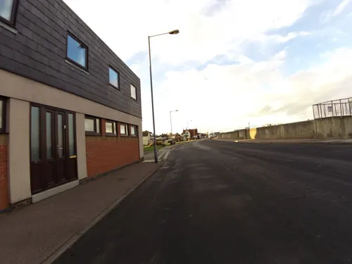
Gorleston Lighthouse
Lighthouse · 1.4 mi
Lighthouse in Great Yarmouth, Norfolk, England, UK
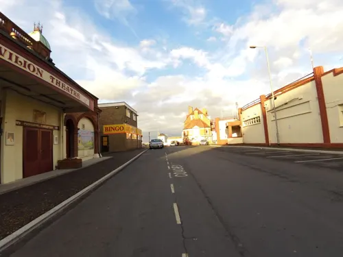
Gorleston Pavilion
Cinema and theater · 1.4 mi
Theatre in Gorleston-on-Sea, Great Yarmouth, England

Haven Bridge
Bridge · 2.5 mi
Bridge in Great Yarmouth, Norfolk, England

Hippodrome
Cinema and theater · 2.5 mi
Theatre in Great Yarmouth, England

Joyland
Monument and historic site · 2.9 mi
Historic amusement park in Norfolk, England

Wellington Pier, Great Yarmouth
Cinema and theater · 2.4 mi
Pier in Great Yarmouth, England

Winter Gardens
Cinema and theater · 2.4 mi
Seaside holiday pavilion and entertainment venue in Great Yarmouth, England

Gorleston South Pier Lighthouse
Lighthouse · 1.6 mi
Lighthouse in Norfolk, England

Great Yarmouth Pleasure Beach
Monument and historic site · 2.1 mi
Historic amusement park in Norfolk, England
5 more on the map.
Museums and landmarks12

Somerleyton Hall
Museum · 3.8 mi
Grade II* listed house in Suffolk, England, UK
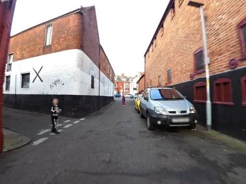
Time and Tide Museum
Museum · 2.4 mi
Museum dedicated to the maritime history of Great Yarmouth, Norfolk
Britannia Monument
Monument and historic site · 1.8 mi
Monument in Great Yarmouth, Norfolk, England, UK

Great Yarmouth Row Houses
Museum · 2.4 mi
House in South Quay, Great Yarmouth
Tolhouse Gaol
Museum · 2.4 mi
Grade I listed building in Great Yarmouth, Norfolk, England, UK
Parks, trails and playgrounds15

Berney Marshes RSPB reserve
Park · 2.8 mi
RSPB nature reserve in the United Kingdom



3 more on the map.
Restaurants and cafes91
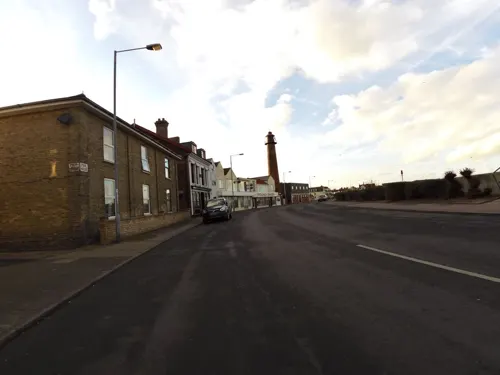

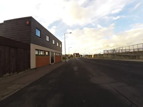

The William Adams
Bar and pub · 1.3 mi
176 High Street, Great Yarmouth
Mo,Tu,We,Th,Su 08:00-24:00; Fr,Sa 08:00-25:00

Margo's Lounge
Restaurant · 70s · 1.2 mi
58 Bells Road, Great Yarmouth
Mo-Th 08:30-16:30; Fr-Sa 08:30-23:00; Su off

Costa
Cafe · Coffee Shop · 1.8 mi
Unit F1 Purley Court, Great Yarmouth
Mo-Su 09:00-19:00
Queens Head
Bar and pub · 1.9 mi
High Road, Great Yarmouth
Mo-Su 12:00-00:00
79 more on the map.
History
Bradwell's name is of Anglo-Saxon origin, although the village is not recorded in the Domesday Book.
During the Second World War, Bradwell was hit by several air raids designed to attack Great Yarmouth. There were searchlight batteries and pillboxes built in the village during the war.
From the History section of Bradwell, Norfolk on Wikipedia, under CC BY-SA 4.0.
More about Bradwell
Geography
The civil parish has an area of 9.74 square kilometres (3.76 sq mi) and according to the 2021 census, Bradwell has a population of 11,628 people which shows a large increase from the 10,528 people recorded in the 2011 census.
The A143 road, between Gorleston-on-Sea and Haverhill, bisects Bradwell.
Education
Schools within the parish include Hillside Primary School, Homefield Church of England Primary and Nursery School, Lynn Grove Academy, Wroughton Academies, and Woodlands Primary and Nursery School.
From the Wikipedia article Bradwell, Norfolk, under CC BY-SA 4.0.
Where to stay10
Churches and places of worship15
The Catholic Church of Saint Peter The Apostle
Church · Catholic · 1.2 mi
17a Sussex Road, Great Yarmouth
The Church of Jesus Christ of Latter-day Saints
Church · Latter Day Saints · 1.1 mi
Lowestoft Road, Great Yarmouth
Shopping15
Gas and EV charging4
Schools, colleges and libraries21
Peterhouse Church of England Primary Academy
School · Anglican · 0.7 mi
Magdalen Square, Great Yarmouth
St Mary and St Peter Catholic Primary School
School · Roman Catholic · 1.2 mi
East Anglian Way, Great Yarmouth
Healthcare11
Map of Bradwell
211 places. The map loads OpenStreetMap tiles when you open it.
Getting there and nearby towns
Norwich Airport (NWI) is the nearest airport with scheduled flights listed in OpenStreetMap, 19 miles away.
- Beccles 10 mi southwest, about 16 min by car
- Norwich 17 mi west, about 28 min by car
- Bowthorpe 21 mi west, about 33 min by car
- North Walsham 22 mi northwest, about 35 min by car
- Diss 28 mi southwest, about 46 min by car
- Attleborough 29 mi west, about 47 min by car
- East Dereham 33 mi west, about 53 min by car
- Woodbridge 37 mi southwest, about 59 min by car
- Stowmarket 40 mi southwest, about 1 h by car
- Ipswich 42 mi southwest, about 1 h 15 min by car
Drive times are estimates from straight-line distance, not routes.
Towns near Bradwell


Keep exploring
Local news
Headlines from INDB.
Reviews, tips and questions
Loading what members have shared...
Sources and licences
- GeoNames (CC BY 4.0): population, coordinates, regions and time zone
- Mapillary (see each image): photos
- OpenStreetMap contributors (ODbL 1.0): places, airports, map data
- Wikidata (CC0 1.0): elevation, founding date, time zone, website, landmarks and historic places
- Wikimedia Commons (see each image): photos
- Wikipedia (CC BY-SA 4.0): overview and history text
Photo credits
- Breydon Viaduct Postcard, Unknown author Unknown author, Public domain
- Haven Bridge Lifted, Norfolkadam, CC BY-SA 3.0
- Great Yarmouth aerial image - Joyland - Norfolk UK coast (15077852071), John Fielding from Norwich, UK, CC BY 2.0
- -2018-11-13 Entrance into Wellington Pier, Great Yarmouth, Norfolk, Evelyn Simak, CC BY-SA 2.0
- Somerleyton chateau 3, Velvet, CC BY-SA 3.0
- Lynn Grove Academy, Jack1956, CC0
- St. Peter's Catholic Church Gorleston, John Rostron, CC BY-SA 2.0
- The Feathers Public House Gorleston, TeoUtting, CC BY-SA 4.0
- Sir Christopher Cockerall Building, Jking32165, CC BY 3.0
- Breydon Bridge over the River Yare - 2024-09-12, Amanda Slater, CC BY-SA 2.0
- -2009-09-12 Looking along the Britannia Pier, Great Yarmouth (1), Kolforn ( Kolforn ) I'd appreciate if you could mail me ([email protected]) if you want to use this picture out of the Wikimedia project scope. This file is licensed under the Creative Commons..., CC BY-SA 4.0
- -2018-11-13 Hippodrome Circus, St George's Road, Great Yarmouth, Evelyn Simak, CC BY-SA 2.0
- Winter Gardens, Great Yarmouth, TaleynaFletcher, CC BY-SA 4.0
- Street-level photo, smsm1, CC BY-SA 4.0
- Street-level photo, adam2, CC BY-SA 4.0
- Street-level photo, smsm1, CC BY-SA 4.0
- Street-level photo, smsm1, CC BY-SA 4.0
- Street-level photo, smsm1, CC BY-SA 4.0
- Street-level photo, smsm1, CC BY-SA 4.0
- Street-level photo, edloach, CC BY-SA 4.0
- Street-level photo, smsm1, CC BY-SA 4.0


Page built November 10, 2026. Spotted a mistake? Tell us or suggest a place.