


Annfield Plain, United Kingdom
Annfield Plain is a town of 10,406 people in England, United Kingdom.
Why visit Annfield Plain
Townapedia lists 8 museums and landmarks, 7 parks and trails, 24 places to eat and 2 attractions in and around town.
Highlights include Causey Arch.
Weather in Annfield Plain
Forecast from MET Norway (CC BY 4.0). Full forecast
About Annfield Plain
Annfield Plain is a village in County Durham, in England. It is situated on a plateau between the towns of Stanley, 3 mi (4.8 km) to the north-east, and Consett, 5 mi (8.0 km) to the west. According to the 2001 census, Annfield Plain had a population of 3,569. By the time of the 2011 Census Annfield Plain had become a ward of Stanley parish.
From the Wikipedia article Annfield Plain (this version), under CC BY-SA 4.0.
Things to do2

Causey Arch
Bridge · 3.4 mi
Bridge in Stanley, County Durham, England

Museums and landmarks8

Parks, trails and playgrounds7


Restaurants and cafes24
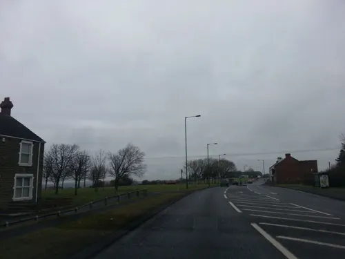
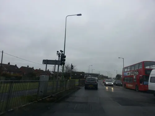
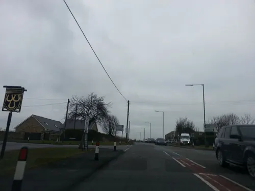


12 more on the map.
History
The earliest hard evidence of habitation in the area comes from the 16th century, when the main economic activity was sheep farming. The village's association with mining begins in the late 17th century when many shallow mines were dug. The Stanhope and Tyne Railway, laid in 1834, assisted the transportation of coal. Several limekilns were built at this time and were fuelled by local coal, with limestone being brought in by rail.
Demand for coal increased with the advent of the Industrial Revolution, and a number of deep pits were sunk over the course of the 19th century. The village grew substantially and light industry increased, including the construction of a brewery, mill, and candle factory; as well as various services for the population, including a school, church, at least two nonconformist chapels, and a variety of shops.
In the 19th century Annfield Plain was the scene of a murder, when a man named William Thompson killed his wife. He was hanged at Durham prison on 5 January 1874.³
Annfield Plain Golf Club (now defunct) was founded in 1907. The club closed in 1931.
Read more of the history
Greencroft Comprehensive School (later Greencroft School) was the main secondary school in Annfield Plain between 1965 and 2013, split between sites at New Kyo and Greencroft (see Greencroft for more information). It was merged with Stanley School of Technology in 2011 to form North Durham Academy then closed in 2013 when pupils were moved to the new campus in Stanley.
From the History section of Annfield Plain on Wikipedia, under CC BY-SA 4.0.
More about Annfield Plain
Geography
Annfield Plain is located in the County Durham unitary authority area. It is represented on Durham County Council by Michele Hodgson and Thomas Nearney (both Labour). The village is part of the North Durham parliamentary constituency, which as of 2005 is represented in parliament by Kevan Jones (Labour).
The local police force is Durham Constabulary. Annfield Plain is in the Derwentside division and its nearest police station is in Catchgate.
Rail access: Chester-le-Street, 11 km (6.8 mi) by road - historically, the Stanhope and Tyne Railway passed through it.
Cycle Access: The C2C cross-country cycle route from Sunderland to Whitehaven in Cumbria passes through Annfield Plain.
A693 between Stanley and Consett, which used to pass through Annfield Plain and now bypasses it.
B6168 towards Catchgate and Flint Hill, where it joins the A692 towards Newcastle-upon-Tyne.
Surrounding Annfield Plain and effectively joined to it are several other villages:
From the Wikipedia article Annfield Plain, under CC BY-SA 4.0.
Notable people from Annfield Plain
 Alun ArmstrongEnglish actorPhoto: Garry Knight, CC BY-SA 2.0
- Glenn McCroryBritish boxer
- Billy DonkinEnglish footballer (1900-1974)
- Thomas ElliottEnglish footballer (1890-1955)
- Micky HorswillEnglish footballer (born 1953)
- John ClarkeEnglish footballer
- John DaglishEnglish footballer (1907-1962)
- Archie HeslopEnglish footballer (1903-1962)
- Keith HirdEnglish footballer (1939-1967)
- Andy WelshEnglish footballer (1918-1990)
- Joe Joblingassociation football player (1906-1969)
- Jack Hatherfootballer
Born in Annfield Plain, according to Wikidata (CC0). Each name links to its Wikipedia article.
Churches and places of worship7
Shopping1
Schools, colleges and libraries8
Healthcare2
Map of Annfield Plain
59 places. The map loads OpenStreetMap tiles when you open it.
Getting there and nearby towns
Newcastle International Airport (NCL) is the nearest airport with scheduled flights listed in OpenStreetMap, 12 miles away.
- Consett 4 mi west, about 6 min by car
- Whickham 7 mi north, about 11 min by car
- Blaydon-on-Tyne 7 mi north, about 12 min by car
- Prudhoe 8 mi northwest, about 14 min by car
- Newcastle upon Tyne 9 mi northeast, about 15 min by car
- Gosforth 11 mi northeast, about 18 min by car
- Hebburn 12 mi northeast, about 19 min by car
- Hetton-Le-Hole 12 mi east, about 19 min by car
- Spennymoor 12 mi southeast, about 20 min by car
- Sunderland 15 mi east, about 23 min by car
Drive times are estimates from straight-line distance, not routes.
Towns near Annfield Plain


Keep exploring
Local news
Headlines from INDB.
Reviews, tips and questions
Loading what members have shared...
Sources and licences
- GeoNames (CC BY 4.0): population, coordinates, regions and time zone
- Mapillary (see each image): photos
- OpenStreetMap contributors (ODbL 1.0): places, airports, map data
- Wikidata (CC0 1.0): elevation, founding date, time zone, website, landmarks and historic places
- Wikimedia Commons (see each image): photos
- Wikipedia (CC BY-SA 4.0): overview and history text
Photo credits
- Causey Arch, Unknown author, CC BY-SA 3.0
- Derwent Park Stadium, Beefy SAFC, CC BY-SA 4.0
- Street-level photo, stevenhorner, CC BY-SA 4.0
- Street-level photo, stevenhorner, CC BY-SA 4.0
- Street-level photo, stevenhorner, CC BY-SA 4.0
Page built November 10, 2026. Spotted a mistake? Tell us or suggest a place.