
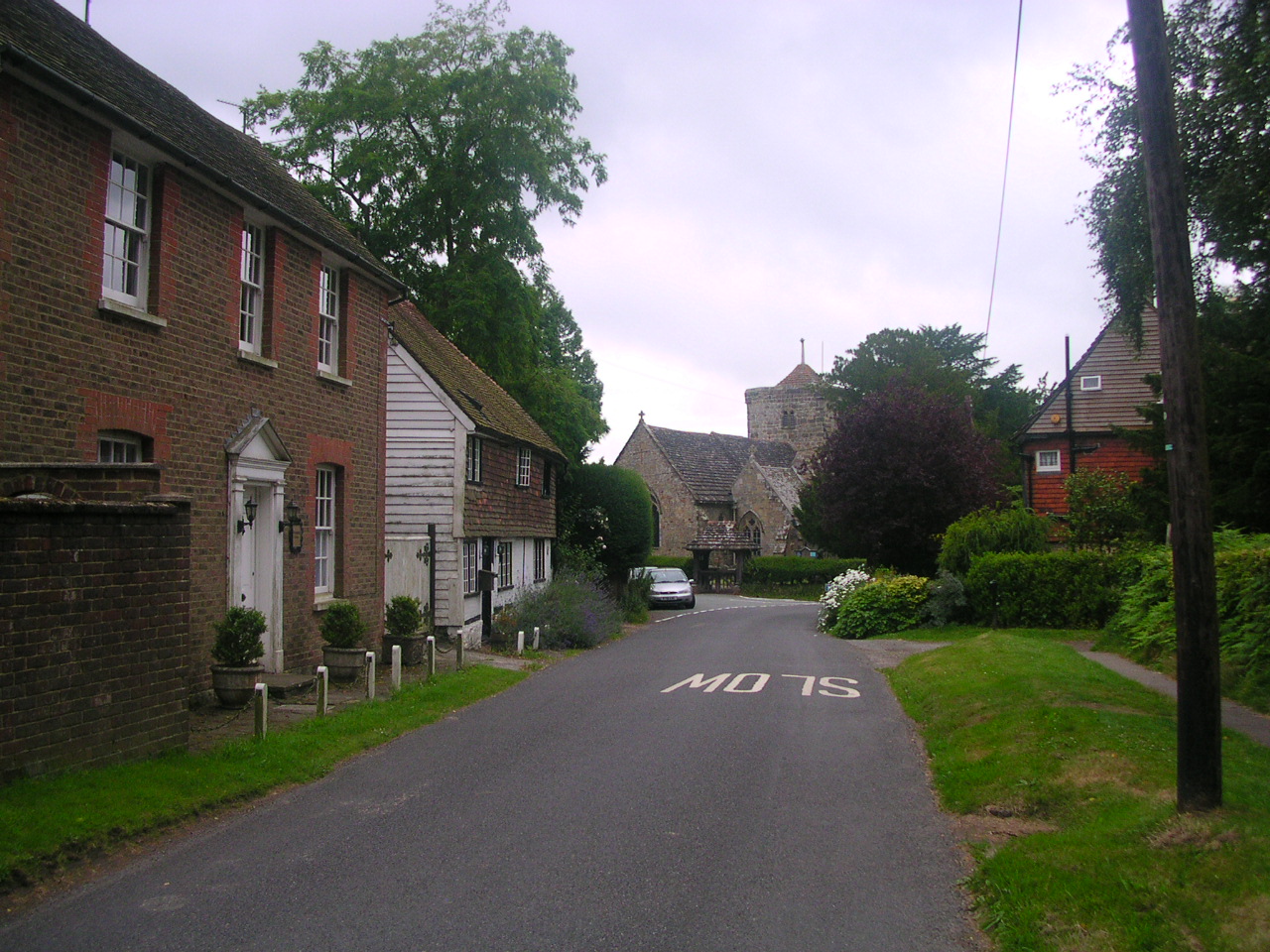


Why visit Ardingly
Townapedia lists 11 museums and landmarks, 10 parks and trails, 13 places to eat, 4 places to stay and 2 attractions in and around town.
Highlights include Ouse Valley Viaduct, Priest House, Bluebell Railway and Wakehurst.
Weather in Ardingly
Forecast from MET Norway (CC BY 4.0). Full forecast
About Ardingly
Ardingly is an English village and civil parish in the Mid Sussex district of West Sussex, England. The village is in the High Weald Area of Outstanding Natural Beauty about 33 miles (53 km) south of London and 33 miles (53 km) east-north-east of the county town of Chichester. The parish covers an area of 3,974 acres (1,608 ha). The Office for National Statistics estimated the population in 2022 to be 1,900.
From the Wikipedia article Ardingly (this version), under CC BY-SA 4.0.
Photos of Ardingly

Things to do2

Ouse Valley Viaduct
Bridge · 1.9 mi
Viaduct carrying the London-Brighton Railway Line over the River Ouse in Sussex, England, UK

Museums and landmarks11

Priest House
Museum · 2.1 mi
Historical house and museum in Sussex, England, United Kingdom
North Lane, East Grinstead

Largest Growing Christmas Tree in England
Monument and historic site · 1.3 mi

Ardingly Showground
Monument and historic site · 0.7 mi
Selsfield Road, Haywards Heath
Wakehurst Mansion
Monument and historic site · 1.3 mi
Selsfield Road, Haywards Heath
Parks, trails and playgrounds10
Wakehurst
Park · 1.3 mi
House and botanic gardens in Ardingly, West Sussex, England, UK
Selsfield Road, Haywards Heath

Blunts Wood and Paiges Meadow
Park · 3.7 mi
Nature reserve in West Sussex

Eastern Road Nature Reserve
Park · 2.7 mi
Local Nature Reserve in England





Restaurants and cafes13

Missing Link Brewery
Brewery and winery · 2.1 mi
Selsfield Road, East Grinstead
Th,Fr 12:00-20:00; Sa 10:00-20:00; Su 10:00-17:00
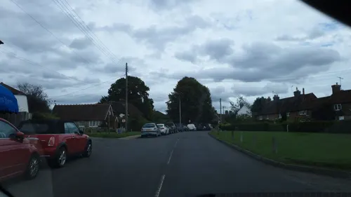


The Gardeners Arms
Bar and pub · 0.9 mi
Selsfield Road, Haywards Heath
Mo-Th 11:30-22:00; Fr,Sa 11:30-23:00; Su 11:30-21:00

1 more on the map.
Notable people from Ardingly
 Jon SnowBritish broadcasterPhoto: Chatham House, CC BY 2.0
- Thomas Boxcricketer (1808-1876)
- Henry Munnioncricketer (1849-1904)
- John Goodwin Gregory Peytonrear admiral of the British Royal Navy
- Sir Andrew Hamilton, 10th BaronetEnglish cricketer and baronet
Born in Ardingly, according to Wikidata (CC0). Each name links to its Wikipedia article.
Where to stay4
Churches and places of worship17
All Saints Church
Church · Anglican · 1.0 mi
Hammingden Lane, Haywards Heath
Shopping1
Schools, colleges and libraries5
Map of Ardingly
63 places. The map loads OpenStreetMap tiles when you open it.
Getting there and nearby towns
London Gatwick Airport (LGW) is the nearest airport with scheduled flights listed in OpenStreetMap, 9 miles away.
- Horsted Keynes 2 mi east, about 4 min by car
- Balcombe 3 mi west, about 4 min by car
- Haywards Heath 4 mi south, about 6 min by car
- Handcross 5 mi west, about 9 min by car
- Crawley 6 mi northwest, about 10 min by car
- East Grinstead 6 mi northeast, about 10 min by car
- Burgess Hill 7 mi south, about 11 min by car
- Broadfield 7 mi northwest, about 11 min by car
- Horley 9 mi north, about 15 min by car
- Uckfield 9 mi southeast, about 15 min by car
Drive times are estimates from straight-line distance, not routes.
Towns near Ardingly


Keep exploring
Local news
Headlines from INDB.
Reviews, tips and questions
Loading what members have shared...
Sources and licences
- GeoNames (CC BY 4.0): population, coordinates, regions and time zone
- Mapillary (see each image): photos
- OpenStreetMap contributors (ODbL 1.0): places, airports, map data
- Wikidata (CC0 1.0): elevation, founding date, time zone, website, landmarks and historic places
- Wikimedia Commons (see each image): photos
- Wikipedia (CC BY-SA 4.0): overview and history text
Photo credits
- Ardingly, Charlesdrakew, Public domain
- Ardingly Inn - panoramio, horsch, CC BY-SA 3.0
- Ouse Valley viaduct - 42183534692, Dmitry Djouce, CC BY 2.0
- The Priest House & Garden, West Hoathly, Meagainreally, CC BY-SA 4.0
- Blunts Wood and Paiges Meadow (4), Dudley Miles, CC BY-SA 4.0
- Eastern Road Nature Reserve (2), Dudley Miles, CC BY-SA 4.0
- Scrase Valley (3), Dudley Miles, CC BY-SA 4.0
- All Saints Church, Highbrook (IoE Code 302817), The Voice of Hassocks, Public domain
- Ardingly College (public school) Chapel, CreiterAdam45z, CC BY-SA 4.0
- Holy Trinity Church, Cuckfield (IoE Code 302923), The Voice of Hassocks, Public domain
- Jireh Strict Baptist Chapel, Haywards Heath, The Voice of Hassocks, Public domain
- St Margaret's Church, West Hoathly (IoE Code 302844), The Voice of Hassocks, Public domain
- St Richard's Church, Haywards Heath, The Voice of Hassocks, Public domain
- All Saints Church Lindfield, Hjamesberglen, CC BY-SA 4.0
- St Giles' Church, Horsted Keynes (NHLE Code 1025684), The Voice of Hassocks, Public domain
- Ardingly Church 2, Charlesdrakew, Public domain
- West Hoathly CofE Primary School, Tim Sheerman-Chase, CC BY 2.0
- Wakehurst Place Mansion 1, West Sussex - Aug 2009, Diliff, CC BY-SA 3.0
- St. Peter's, Ardingly, Antiquary, CC BY 4.0
- Missing Link Brewery 2, Tim Sheerman-Chase, CC BY 2.0
- Street-level photo, jamesa60, CC BY-SA 4.0


Page built November 10, 2026. Spotted a mistake? Tell us or suggest a place.