


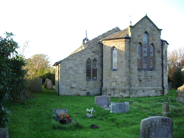
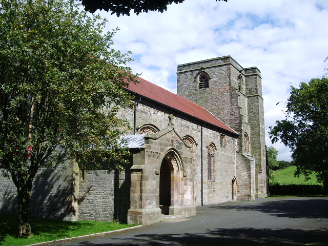

Bay Horse, United Kingdom
Bay Horse is a town of 2,239 people in England, United Kingdom.
Why visit Bay Horse
Townapedia lists 1 park or trail, 10 places to eat, 5 places to stay and 1 attraction in and around town.
Highlights include Conder Bridge.
Weather in Bay Horse
Forecast from MET Norway (CC BY 4.0). Full forecast
About Bay Horse
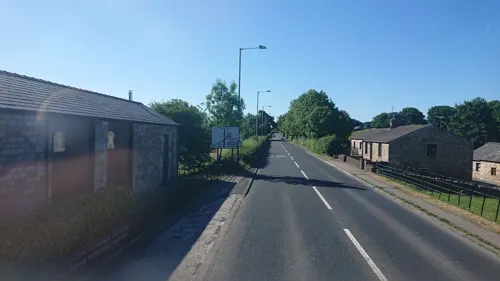
Bay Horse is a hamlet in the civil parish of Ellel, in the Lancaster district, in Lancashire, England. It lies between Lancaster and Preston to the north and south.
From the Wikipedia article Bay Horse (hamlet) (this version), under CC BY-SA 4.0.
Things to do1
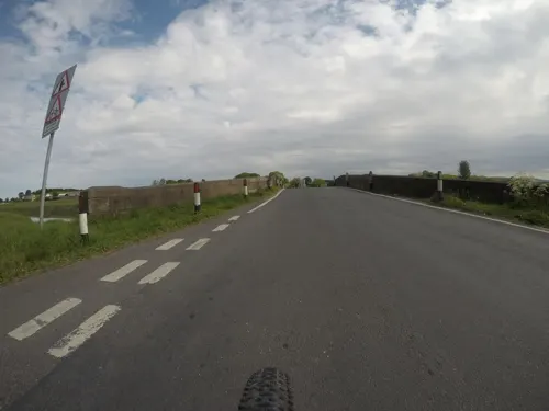
Conder Bridge
Bridge · 2.7 mi
Bridge in Thurnham, Lancaster, Lancashire, England, UK
Parks, trails and playgrounds1

Restaurants and cafes10
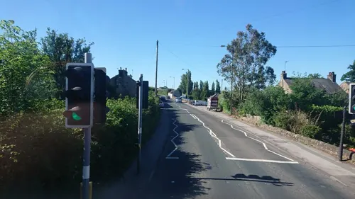



Where to stay5


History
In August 1848, a north-bound London & North Western Railway train from London Euston to Glasgow collided with a small local train at Bay Horse station, killing 1, injuring 20.
Newland Hall is a country house and the former seat of the Owtrams, a local mill-owning family. Colonel Cary Owtram OBE (1900–1993) gained prominence after the publication of a secret diary that he kept during his three-and-a-half-year stint as a prisoner of war in Thailand during World War II.
From the History section of Bay Horse (hamlet) on Wikipedia, under CC BY-SA 4.0.
Churches and places of worship10
Gas and EV charging4
Schools, colleges and libraries2
Map of Bay Horse
33 places. The map loads OpenStreetMap tiles when you open it.
Getting there and nearby towns
Warton Aerodrome (WRT) is the nearest airport with scheduled flights listed in OpenStreetMap, 16 miles away.
- Galgate 2 mi north, about 3 min by car
- Lancaster 5 mi north, about 9 min by car
- Overton 5 mi northwest, about 8 min by car
- Catterall 6 mi south, about 10 min by car
- Heysham 7 mi northwest, about 11 min by car
- Morecambe 8 mi northwest, about 12 min by car
- Halton 8 mi north, about 12 min by car
- Caton 8 mi north, about 13 min by car
- Fleetwood 10 mi west, about 16 min by car
- Fylde 11 mi southwest, about 18 min by car
Drive times are estimates from straight-line distance, not routes.
Towns near Bay Horse


Keep exploring
Local news
Headlines from INDB.
Reviews, tips and questions
Loading what members have shared...
Sources and licences
- GeoNames (CC BY 4.0): population, coordinates, regions and time zone
- Mapillary (see each image): photos
- OpenStreetMap contributors (ODbL 1.0): places, airports, map data
- Wikidata (CC0 1.0): elevation, founding date, time zone, website, landmarks and historic places
- Wikimedia Commons (see each image): photos
- Wikipedia (CC BY-SA 4.0): overview and history text
Photo credits
- Pendolino at Bay Horse, kitmasterbloke, CC BY 2.0
- New CAF EMU for Northern Trains at Bay Horse, kitmasterbloke, CC BY 2.0
- Pendolino southbound at Bay Horse, kitmasterbloke, CC BY 2.0
- Christ Church, Glasson, Alexander P Kapp, CC BY-SA 2.0
- St John's Church, Ellel, Alexander P Kapp, CC BY-SA 2.0
- St Mark's Church, Dolphinholme, Alexander P Kapp, CC BY-SA 2.0
- Lancaster University Courtyard, Christoph Michels, CC BY-SA 4.0
- St Michael's Church, Cockerham, ray blow, CC BY-SA 2.0
- Street-level photo, skifans, CC BY-SA 4.0
- Street-level photo, mfk, CC BY-SA 4.0
- Street-level photo, southglos, CC BY-SA 4.0
- Street-level photo, joostjakob, CC BY-SA 4.0
- Street-level photo, skifans, CC BY-SA 4.0
- Street-level photo, OrangeHurst97, CC BY-SA 4.0
- Street-level photo, southglos, CC BY-SA 4.0
- Street-level photo, laye, CC BY-SA 4.0
- Street-level photo, trigpoint, CC BY-SA 4.0
- Street-level photo, jerome_pietri, CC BY-SA 4.0


Page built November 10, 2026. Spotted a mistake? Tell us or suggest a place.