



Why visit Bosham
Townapedia lists 11 museums and landmarks, 16 parks and trails, 24 places to eat, 9 places to stay and 2 attractions in and around town.
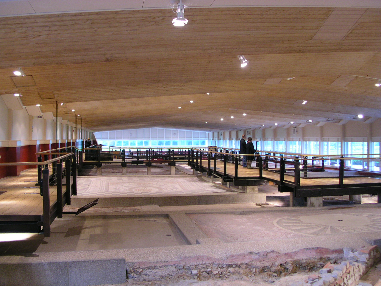
Highlights include Chichester Festival Theatre, Minerva Theatre, Chichester, Fishbourne Roman Palace and Chichester Castle.
Weather in Bosham
Forecast from MET Norway (CC BY 4.0). Full forecast
About Bosham
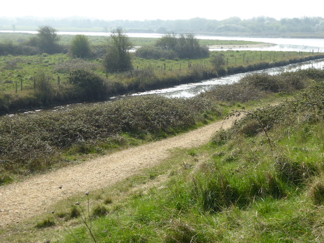
Bosham is a coastal village, ecclesiastical parish and civil parish in the Chichester District of West Sussex, within the historic county of Sussex, England, centred about 2 miles (3.2 km) west of Chichester with its clustered developed part west of this.
From the Wikipedia article Bosham (this version), under CC BY-SA 4.0.
Travel tips from other travellers: Bosham on Wikivoyage (CC BY-SA 4.0).
Things to do2
Chichester Festival Theatre
Cinema and theater · 3.4 mi
Theatre building in Chichester, West Sussex, England, UK

Minerva Theatre, Chichester
Cinema and theater · 3.4 mi
Theatre in Chichester, England
Museums and landmarks11

Fishbourne Roman Palace
Museum · 2.0 mi
Roman palace and museum near Chichester in Sussex, United Kingdom
Roman Way, Chichester

Chichester Castle
Monument and historic site · 3.5 mi
Castle in Chichester, Chichester, West Sussex, England, UK

Novium Museum
Museum · 3.2 mi
Museum in Chichester, Sussex, England, United Kingdom


Pallant House Gallery
Museum · 3.3 mi
Art gallery in Chichester, West Sussex, United Kingdom

Noviomagus Reginorum
Monument and historic site · 3.2 mi
Roman settlement in West Sussex, England, United Kingdom
Appledram Airfield
Monument and historic site · 2.2 mi
A former military airfield, opened in 1943 and closed in 1944. It was situated south of Appledram / Apuldram on the east bank of the...
P109
Monument and historic site · 0.6 mi
The Remains of P109 Very little remains of this old boat which has been slowly slipping into decay on the shoreline at Bosham Harbour...

Parks, trails and playgrounds16

Brandy Hole Copse
Park · 3.1 mi
Nature reserve in West Sussex, England, UK


Kingley Vale National Nature Reserve
Park · 3.9 mi
Nature reserve in the United Kingdom

Oaklands Park
Park · 3.5 mi
Public park in Chichester, West Sussex, England

Litten Gardens
Park · 3.6 mi
Public park in Chichester, West Sussex, England


Christian Youth Enterprises (CYE)
Marina and boat launch · 1.3 mi
Chidham Lane, Chichester

4 more on the map.
Restaurants and cafes24
Bosham Inn
Restaurant · 1.2 mi
Main Road, Bosham, Chichester
Mo-Tu 11:30-23:00; We-Sa 09:00-23:00; Su 09:00-22:00




Memories of India Restaurant
Restaurant · Indian · 0.8 mi
Main Road, Bosham, Chichester
Mo-Th 12:00-14:30,17:30-23:30; Fr-Sa 12:00-14:30,17:30-24:00; Su...

12 more on the map.
History
The site has been inhabited since Roman times, and is close to the famous palace at Fishbourne. Several important Roman buildings have been found in northern Bosham around Broadbridge including a possible temple, a small theatre and a mosaic. The Bosham Head, part of the largest Roman statue from Britain, was found nearby. A legionary's helmet was found in Bosham harbour and is now in Lewes museum. The helmet is of late Claudian date, the time of the invasion.
Tradition holds that Emperor Vespasian maintained a residence in Bosham, although there is no evidence of this. There are also said to be remains of a building popularly thought to be a villa belonging to Vespasian, at the Stone Wall in the parish. Pottery and tile fragments, of both Roman and early British period, have been discovered in the area, confirming pre-Anglo-Saxon activity. The possible Roman harbour there was part of the natural harbours between Portsmouth and Chichester known as Magnus Portus and its position, as latitude and longitude, was plotted as part of Ptolemy's Geography.
Read more of the history
Much of Bosham's history during the Early Middle Ages is ecclesiastical. Bede mentions Bosham in his book The Ecclesiastical History of the English Nation, speaking of Wilfrid's visit there in 681 when he encountered a Celtic monk, Dicul, and five disciples in a small monastery. The village is one of only five places that appear on the map attached to the Anglo-Saxon Chronicle of around this time.
In 850, the original village church was built possibly on the site of a Roman building, and in the 10th century was replaced with Holy Trinity Church, situated beside Bosham Quay, that still serves as the local place of worship. There is a tradition that a daughter of Canute the Great drowned in a nearby brook and was buried there, although there seems to be little evidence for this. The tradition was originally linked to a fourteenth- or fifteenth-century effigy. In 1865 a coffin containing a child's skeleton was discovered, buried in the nave in front of what is now the chancel of Holy Trinity Church. This was thought to be Canute's daughter.
There is a legend that around this time Bosham Church was plundered by Danish pirates, who stole the tenor bell. As the pirate ship sailed away, the remaining church bells were rung. The tenor bell miraculously joined in, destroying the ship. The bell is still said to ring beneath the waters whenever the other bells are rung.
Bosham is mentioned by name in the Bayeux Tapestry, where in 1064 Harold stops to pray in the church before sailing to meet with William of Normandy and confirm Edward the Confessor’s decision that William will succeed him as king. Later on his deathbed Edward changes his mind, naming Harold as his successor and, thereby, setting into motion the Norman conquest.
"Ubi Harold Dux Anglorum et sui milites equitant ad Bosham ecclesia[m]"
(Where Harold, Earl of the English, and his army ride to Bosham church)
Harold's strong association with Bosham and the recent discovery of an Anglo-Saxon grave in the church has led some historians to speculate that King Harold was buried there following his death at the Battle of Hastings, rather than Waltham Abbey as is often reported. The speculation began in 1954, when the nave was re-paved, and the body of King Canute's reputed daughter was re-examined. It was discovered that the body of a richly dressed man was buried beside the child's. A request to exhume the grave in Bosham church was refused by the Diocese of Chichester in December 2004, the Chancellor ruling that the chances of establishing the identity of the body as that of Harold Godwinson were too slim to justify disturbing a burial place.
The Domesday Book of 1086 listed Bosham as a Hundred, and one of the wealthiest manors in England. It included the nearby village of Chidham. Bosham was confirmed to be in the possession of Osbern, Bishop of Exeter, who had been granted the land by his kinsman, Edward the Confessor. It possessed 112 hides (~13,000 acres or 5,300 ha) in different parts of the country. Unlike many places, lordship of much of Bosham remained in the same hands after the conquest as before, although the ownership of Earl Godwin's land was under the ownership of King William at the time of the survey.
Bosham was the scene of a brutal murder in 2013 that was not solved for nearly six years. The case featured on the Sky documentary series Killer in My Village (Season 4, Episode 8).
From the History section of Bosham on Wikipedia, under CC BY-SA 4.0.
More about Bosham
Geography
The parish has an area of 317,379 ha (784,260 acres). Its land forms a broad peninsula projecting into natural Chichester Harbour where Bosham has its own harbour and inlet on the western side.
From the Wikipedia article Bosham, under CC BY-SA 4.0.
Notable people from Bosham
- Herbert of BoshamEnglish cardinal and writer
- John HammondBritish meteorologist
- Allen MartinEnglish sailor and educator in Australia
- Zach Marchassociation football player (1892-1994)
Born in Bosham, according to Wikidata (CC0). Each name links to its Wikipedia article.
Where to stay9
Churches and places of worship16
Shopping2
Gas and EV charging3
Schools, colleges and libraries6
Map of Bosham
89 places. The map loads OpenStreetMap tiles when you open it.
Getting there and nearby towns
Goodwood Aerodrome (QUG) is the nearest airport with scheduled flights listed in OpenStreetMap, 4 miles away.
- Fishbourne 1 mi east, about 2 min by car
- Birdham 3 mi southeast, about 4 min by car
- Chichester 3 mi east, about 5 min by car
- Emsworth 4 mi west, about 6 min by car
- Havant 6 mi west, about 10 min by car
- Hayling Island 6 mi southwest, about 10 min by car
- South Hayling 6 mi southwest, about 10 min by car
- Tangmere 6 mi east, about 10 min by car
- Boxgrove 6 mi east, about 10 min by car
- Selsey 7 mi southeast, about 12 min by car
Drive times are estimates from straight-line distance, not routes.
Towns near Bosham


Keep exploring
Local news
Headlines from INDB.
Reviews, tips and questions
Loading what members have shared...
Sources and licences
- GeoNames (CC BY 4.0): population, coordinates, regions and time zone
- Mapillary (see each image): photos
- OpenStreetMap contributors (ODbL 1.0): places, airports, map data
- Wikidata (CC0 1.0): elevation, founding date, time zone, website, landmarks and historic places
- Wikimedia Commons (see each image): photos
- Wikipedia (CC BY-SA 4.0): overview and history text
Photo credits
- Minerva Theatre, Chichester b, A bit iffy, Public domain
- Fishbourne palace north wing, Charlesdrakew, Public domain
- Chichester Castle remains, Simon Carey, CC BY-SA 2.0
- Keith Williams Architects Novium Museum Chichester, ACT124, CC BY-SA 4.0
- Pallant House Gallery h, A bit iffy, Public domain
- Eames Farm (5), Dudley Miles, CC BY-SA 4.0
- KingleyVale, Ben Shade ( BenShade or see wikipedia BenShade ), CC BY 2.5
- Chichester Greyfriars, Prior Park, Michael Coppins, CC BY-SA 4.0
- Former St Andrew's Church, Oxmarket, Chichester, The Voice of Hassocks, CC0
- StJames from south, Kinnerton, CC BY-SA 3.0
- St John the Baptist's Church, The Grove, Westbourne (NHLE Code 1026167), The Voice of Hassocks, CC0
- St John the Evangelist's Church, Chichester, Tim Sheerman-Chase, CC BY 2.0
- St Leodegar's Church, Hunston, The Voice of Hassocks, CC0
- St Richard of Chichester's Church, Cawley Road, Chichester (NHLE Code 1392318), The Voice of Hassocks, CC0
- West Itchenor Church, Charlesdrakew, Public domain
- Holy Trinity Church, Bosham (NHLE Code 1354443), The Voice of Hassocks, CC0
- St. Mary's Church, Chidham 44, Simon Burchell, CC BY-SA 4.0
- Bosham - The White Swan Public House - 20221001144728, Djm-leighpark, CC BY-SA 4.0
- Old House at Home, Chidham, Simon Burchell, CC BY-SA 4.0
- The Barleycorn, Nutbourne, Simon Burchell, CC BY-SA 4.0
- Anchor Bleu pub, High Street, Bosham (NHLE Code 1026458) (March 2012) (1), User:Hassocks5489, CC0
- Otter Gallery 2018-06 DSC 8290.edm, Rebutia Marsoneri, CC BY-SA 4.0
- Brandy Hole Copse World War II defences 07, Simon Burchell, CC BY-SA 4.0
- Theatre Oaklands Park Chichester, Pete Chapman, CC BY-SA 2.0
- Street-level photo, tallguy, CC BY-SA 4.0
- Street-level photo, richardc, CC BY-SA 4.0
- Street-level photo, tallguy, CC BY-SA 4.0
- Street-level photo, tallguy, CC BY-SA 4.0
- Street-level photo, tallguy, CC BY-SA 4.0
- Street-level photo, tallguy, CC BY-SA 4.0
- Street-level photo, tallguy, CC BY-SA 4.0
- Street-level photo, richardc, CC BY-SA 4.0
- Street-level photo, tallguy, CC BY-SA 4.0


Page built November 10, 2026. Spotted a mistake? Tell us or suggest a place.