


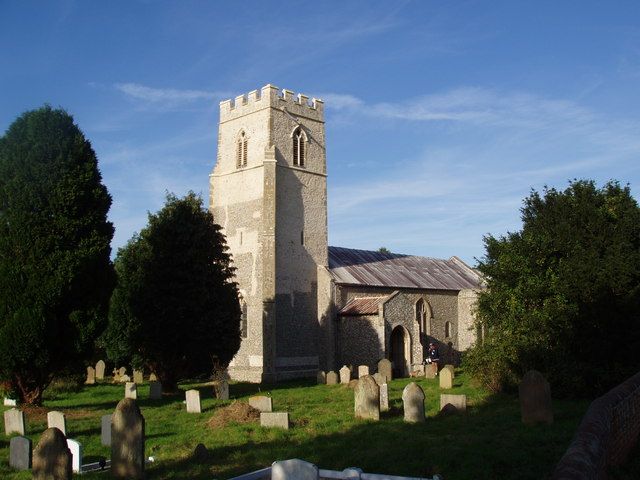

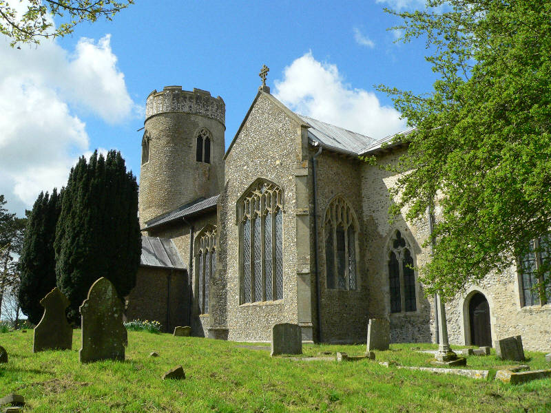

Why visit Briston
Townapedia lists 4 museums and landmarks, 8 places to eat and 2 places to stay in and around town.
Highlights include Hindolveston Disused Railway Station and Saint Mary's.
Weather in Briston
Forecast from MET Norway (CC BY 4.0). Full forecast
About Briston
Briston is a village, civil parish, and electoral ward in the English county of Norfolk. It is 3.5 miles (5.6 km) south-west of Holt and 19 miles (31 km) north-west of Norwich.
From the Wikipedia article Briston (this version), under CC BY-SA 4.0.
Photos of Briston


Museums and landmarks4

Hindolveston Disused Railway Station
Monument and historic site · 2.1 mi
Melton Constable - A Railway Village
Monument and historic site · 1.2 mi
Pillars supporting an original metal arch from the railway, information board.
Restaurants and cafes8
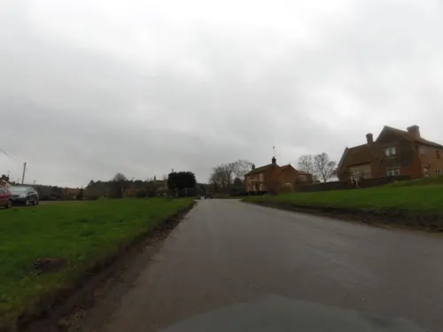
The Hunworth Bell
Bar and pub · 1.5 mi
The Green, Melton Constable
24/7 closed
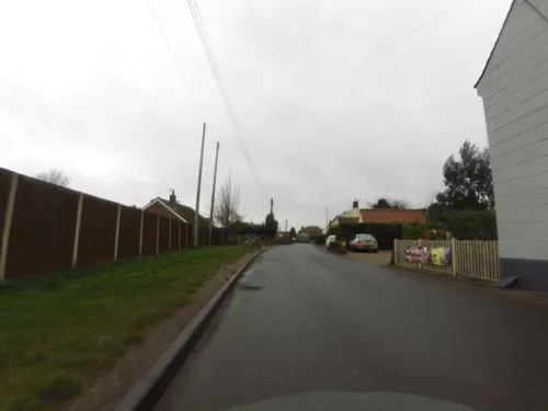



Melton Spice
Fast food · Indian · 0.9 mi
71 Briston Road, Melton Constable
Where to stay2

Churches and places of worship9


Church of St Andrew
Church · 2.3 mi
Grade I listed church in Brinton, Norfolk, England, UK
St Lawrence Parish Church, Hunworth
Church · 1.7 mi
Grade II* listed church in Hunworth, Norfolk, England, UK

History
In the Domesday Book, Briston is recorded as consisting of 22 households. The principal landowners were William the Conqueror and William de Warenne, who owned 60 acres (240,000 m2) of land from which had been previously the property of Toke, a Saxon Thegn who had been evicted after the defeat of the Harold Godwinson at the Battle of Hastings. This land was farmed by three Free Men or and a further 280 acres (1.1 km2) was farmed by fourteen bordars. There was woodland for 20 pigs which was valued at 16 shillings.
On the 17 August 1941, a Vickers Wellington of No. 12 Squadron RAF crashed close to the village killing three men out of a total crew of the six. The aircraft had left RAF Binbrook and, after a successful bombing raid over Cologne, was attempting a crash landing after suffering anti-aircraft fire. The three casualties are memorialised on a brass plaque in All Saints' Church.
From the History section of Briston on Wikipedia, under CC BY-SA 4.0.
More about Briston
Geography
At the 2021 census, Briston had a population of 2,548, a slight increase from the 2011 census.
The village is located on the B1354, between Thursford and Saxthorpe. The nearest railway station is at Sheringham for the Bittern Line which runs between Sheringham, Cromer and Norwich but a steam line is also available from Holt to Sheringham. The nearest airport is Norwich International Airport.
From the Wikipedia article Briston, under CC BY-SA 4.0.
Shopping1
Schools, colleges and libraries1
Map of Briston
25 places. The map loads OpenStreetMap tiles when you open it.
Getting there and nearby towns
Norwich Airport (NWI) is the nearest airport with scheduled flights listed in OpenStreetMap, 16 miles away.
- Foulsham 5 mi south, about 9 min by car
- Reepham 7 mi south, about 11 min by car
- Cawston 8 mi southeast, about 12 min by car
- North Elmham 9 mi southwest, about 14 min by car
- Wells-next-the-Sea 11 mi northwest, about 18 min by car
- Buxton 12 mi southeast, about 20 min by car
- Overstrand 12 mi east, about 20 min by car
- East Dereham 13 mi southwest, about 21 min by car
- Mattishall 13 mi south, about 22 min by car
- North Walsham 14 mi east, about 22 min by car
Drive times are estimates from straight-line distance, not routes.
Towns near Briston


Keep exploring
Local news
Headlines from INDB.
Reviews, tips and questions
Loading what members have shared...
Sources and licences
- GeoNames (CC BY 4.0): population, coordinates, regions and time zone
- Mapillary (see each image): photos
- OpenStreetMap contributors (ODbL 1.0): places, airports, map data
- Wikidata (CC0 1.0): elevation, founding date, time zone, website, landmarks and historic places
- Wikimedia Commons (see each image): photos
- Wikipedia (CC BY-SA 4.0): overview and history text
Photo credits
- St Andrew, Brinton, Norfolk, John Salmon, CC BY-SA 2.0
- All Saints' Church Briston, Norfolk, HazelJMills, CC BY-SA 3.0
- Hunworth Church, David Williams, CC BY-SA 2.0
- Saint Maurice, Briningham, Norfolk, John Salmon, CC BY-SA 2.0
- Stody-g4, Bernd Jatzwauk Pommes104, CC BY-SA 3.0
- Sanders 308 YN53 GFA – 45 – 13-00 Norwich to Holt, Jṏs, CC BY 2.0
- Sanders 1108 YN13 AVX – 45 – 13-00 Norwich to Holt, Jṏs, CC BY 2.0
- Sanders 507 HF54 HGJ – 9 – 09-35 Fakenham to Holt, Jṏs, CC BY 2.0
- Sanders 406 YJ59 AZN – 9 – 13-40 Fakenham to Sheringham, Jṏs, CC BY 2.0
- Sanders 512 HF54 HHE – 45 – 13-00 Norwich to Holt, Jṏs, CC BY 2.0
- Long shot of the bench (OpenBenches 9355-1), jclgoodwin, CC BY-SA 4.0
- Close-up of the inscription (OpenBenches 9355), jclgoodwin, CC BY-SA 4.0
- Sanders 508 HF54 HGN – 9 – 13-40 Fakenham to Sheringham, Jṏs, CC BY 2.0
- Street-level photo, smsm1, CC BY-SA 4.0
- Street-level photo, smsm1, CC BY-SA 4.0


Page built November 10, 2026. Spotted a mistake? Tell us or suggest a place.