


Why visit Cawston
Townapedia lists 3 museums and landmarks, 2 parks and trails, 12 places to eat, 3 places to stay and 1 attraction in and around town.
Highlights include The Norfolk Beef Company, Blickling Hall and All Saints' Church.
Weather in Cawston
Forecast from MET Norway (CC BY 4.0). Full forecast
About Cawston
Cawston is a village and civil parish in the English county of Norfolk.
From the Wikipedia article Cawston, Norfolk (this version), under CC BY-SA 4.0.
Things to do1

Museums and landmarks3


Parks, trails and playgrounds2


Restaurants and cafes12
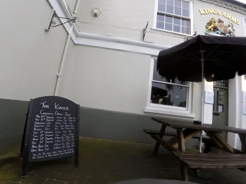

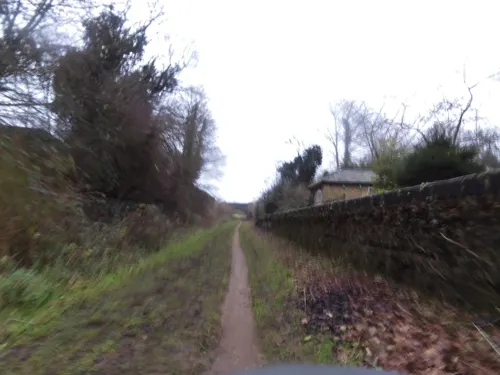
Kerri's Farmhouse Pine
Cafe · Coffee Shop · 2.2 mi
Station Road, Norwich
Mo-Fr 09:00-17:00; Sa-Su 10:00-16:00
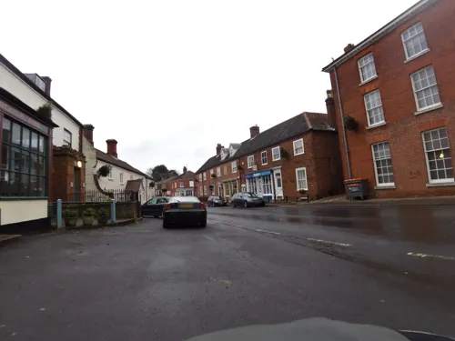
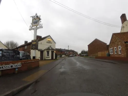
The Crown
Bar and pub · 2.2 mi
90 Ollands Road, Norwich
Mo-Tu,Th 12:00-22:00;We 15:00-22:00;Fr-Sa 12:00-01:00; Su 12:00-22:00
Happy House
Fast food · Chinese · 2.3 mi
Chinese & Cantonese Takeaway



History
Cawston's name is of combined Anglo-Saxon and Viking origin and derives from the Old English for a Viking named Kalfr's settlement.
In the Domesday Book of 1086, Cawston was recorded as being a settlement of 26 households in the hundred of South Erpingham. In 1086, the village was divided between the estates of King William I and William de Warenne.
Cawston was the scene of Norfolk's last duel, which occurred illegally in August 1698 between Sir Henry Hobart of Blickling Hall and Oliver Le Neve of Great Witchingham. The duel was fought with swords and ended with the fatal wounding of Hobart, resulting in Le Neve fleeing to the Netherlands. Today, a memorial stone to the duel is maintained by the National Trust.
During the Second World War, part of Cawston Parish fell within the grounds of RAF Oulton, a satellite airfield of RAF Horsham St Faith. After the war, most of the airfield was returned to agricultural use with most of the runways being broken-up to be used for the construction of the A140.
From the History section of Cawston, Norfolk on Wikipedia, under CC BY-SA 4.0.
More about Cawston
Geography
According to the 2021 census, Cawston has a population of 1,613 people which shows a slight decrease from the 1,640 people recorded in the 2011 census.
Cawston is located at the junction between the B1145, between King's Lynn and Mundesley, and the B1149, between Holt and Norwich.
Cawston Railway Station opened in 1880 as part of the Great Eastern Railway and closed in 1952 due to declining passenger numbers. The station building is now a private residence.
From the Wikipedia article Cawston, Norfolk, under CC BY-SA 4.0.
Notable people from Cawston
 John DayEnglish dramatistPhoto: Written by John Day; printed for William Lee., Public domain
 Peter RussellLondon fashion designer (1886-1966)Photo: Ministry of Information Photo..., Public domain
Born in Cawston, according to Wikidata (CC0). Each name links to its Wikipedia article.
Where to stay3
Churches and places of worship13
Shopping6
Gas and EV charging2
Schools, colleges and libraries3
Healthcare1
Map of Cawston
46 places. The map loads OpenStreetMap tiles when you open it.
Getting there and nearby towns
Norwich Airport (NWI) is the nearest airport with scheduled flights listed in OpenStreetMap, 8 miles away.
- Foulsham 7 mi west, about 11 min by car
- Bowthorpe 9 mi south, about 15 min by car
- North Elmham 9 mi west, about 15 min by car
- North Walsham 10 mi east, about 16 min by car
- Norwich 11 mi southeast, about 18 min by car
- East Dereham 11 mi southwest, about 18 min by car
- Rackheath 11 mi southeast, about 18 min by car
- Overstrand 13 mi northeast, about 20 min by car
- Horning 13 mi east, about 21 min by car
- Shipdham 15 mi southwest, about 24 min by car
Drive times are estimates from straight-line distance, not routes.
Towns near Cawston


Keep exploring
Local news
Headlines from INDB.
Reviews, tips and questions
Loading what members have shared...
Sources and licences
- GeoNames (CC BY 4.0): population, coordinates, regions and time zone
- Mapillary (see each image): photos
- OpenStreetMap contributors (ODbL 1.0): places, airports, map data
- Wikidata (CC0 1.0): elevation, founding date, time zone, website, landmarks and historic places
- Wikimedia Commons (see each image): photos
- Wikipedia (CC BY-SA 4.0): overview and history text
Photo credits
- St Agnes Cawston 20080716-03, Hans A. Rosbach, CC BY-SA 3.0
- St Agnes Cawston 20080716-04, Hans A. Rosbach, CC BY-SA 3.0
- St Agnes Cawston 20080716-06, Hans A. Rosbach, CC BY-SA 3.0
- St Agnes Cawston 20080716-05, Hans A. Rosbach, CC BY-SA 3.0
- St Michaels Aylsham, Northmetpit ( talk ), Public domain
- Salle, Ss Peter & Paul church (28302361035), Jules & Jenny from Lincoln, UK, CC BY 2.0
- Reepham (Norfolk) St Mary's church, St Michael's at rear (27852499673), Jules & Jenny from Lincoln, UK, CC BY 2.0
- Bell public house, Cawston, Norfolk,14 06 2010, stavros1, CC BY 3.0
- Brandiston-g1, Bernd Jatzwauk Pommes104, CC BY-SA 3.0
- Blickling Hall and Estate, nicola j. patron, CC BY-SA 3.0
- Street-level photo, smsm1, CC BY-SA 4.0
- Street-level photo, smsm1, CC BY-SA 4.0
- Street-level photo, smsm1, CC BY-SA 4.0
- Street-level photo, smsm1, CC BY-SA 4.0
- Street-level photo, smsm1, CC BY-SA 4.0
- Street-level photo, smsm1, CC BY-SA 4.0
- Street-level photo, smsm1, CC BY-SA 4.0
- Street-level photo, smsm1, CC BY-SA 4.0
- Street-level photo, smsm1, CC BY-SA 4.0
- Street-level photo, smsm1, CC BY-SA 4.0
- Street-level photo, smsm1, CC BY-SA 4.0
- Street-level photo, smsm1, CC BY-SA 4.0
- Street-level photo, smsm1, CC BY-SA 4.0


Page built November 10, 2026. Spotted a mistake? Tell us or suggest a place.