


East Dereham, United Kingdom
East Dereham is a town of 19,256 people in England, United Kingdom.
Why visit East Dereham
Townapedia lists 11 museums and landmarks, 15 parks and trails, 64 places to eat, 5 places to stay and 2 attractions in and around town.
Highlights include Orion Cinema, Spong Hill, Gressenhall Farm and Workhouse and Lolly Moor.
Weather in East Dereham
Forecast from MET Norway (CC BY 4.0). Full forecast
About East Dereham
Dereham (), also known historically as East Dereham, is a town and civil parish in the Breckland District of the English county of Norfolk. It is situated on the A47 road, about 15 miles (24 km) west of the city of Norwich and 25 miles (40 km) east of King's Lynn.
From the Wikipedia article Dereham (this version), under CC BY-SA 4.0.
Travel tips from other travellers: East Dereham on Wikivoyage (CC BY-SA 4.0).
Things to do2
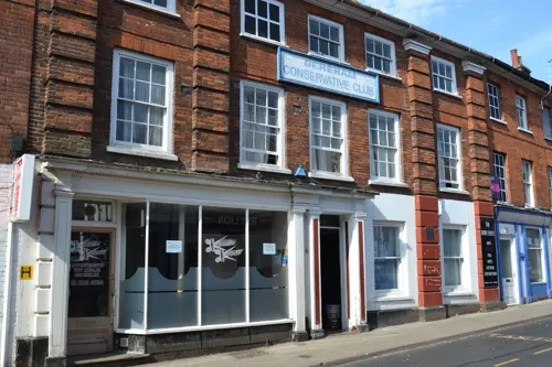

Museums and landmarks11


Gressenhall Farm and Workhouse
Museum · 2.2 mi
Museum in Gressenhall, Breckland, Norfolk, England, UK
Litcham Road, Dereham
Mar Sa[2]-Nov Su[1] 10:00-17:00

Yaxham Waters Holiday Park
Monument and historic site · 2.1 mi
Yaxham Waters Holiday Park Dereham Road, Dereham
24/7
Dereham Town Monument
Monument and historic site
Large granite cenotaph with brass plaques engraved with names of fallen men. Set in small garden, center of town.
War Memorial
Monument and historic site · 2.0 mi
Tall stone cross on stepped square base by the church door.
Parks, trails and playgrounds15





3 more on the map.
Restaurants and cafes64
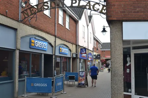

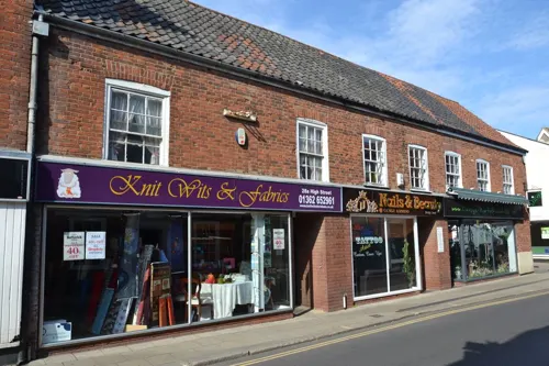
The Bull
Bar and pub · 0.4 mi
25 High Street, Dereham
Su-We 11:00-23:00; Th-Fr 11:00-00:00; Sa 12:00-23:00
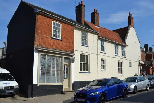
Bramleys Cafe and Cakery
Cafe · Cake · 1.7 mi
157 Shipdham Road, Dereham
We-Sa 10:00-15:30; Su 11:00-15:00

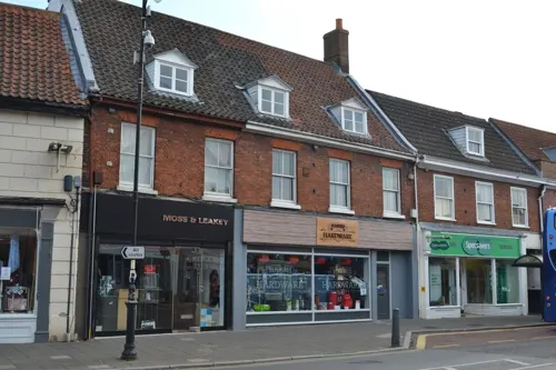
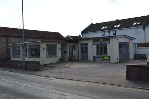



Pickle & Pie: Norfolk Cafe
Cafe · 2.1 mi
Dereham Road, Dereham
Mo-Th 08:00-17:00, Fr-Sa 08:00-19:00, Su 08:00-17:00
52 more on the map.
History
Dereham's name derives from the Old English word "deor" meaning "deer" or "wild animal" with the very common "-ham" ("village", "homestead", or to denote land that is closed in by water or other geographical features), so perhaps it referred to a place where deer or other animals were kept or grazed.
According to local tradition, Saint Wihtburh (aka Withburga), claimed to be the daughter of Anna, King of the East Angles, founded a monastery there in the seventh century after seeing a vision of the Virgin Mary, although the Venerable Bede does not mention her, or her monastery, in his writings, despite reporting the story of her more famous sister Æthelthryth /Etheldreda of Ely. Apart from reference to it in the eleventh-century hagiography of Wihtburh, little is known of her foundation and no evidence survives today.
Read more of the history
An archaeological report by Norfolk County Council indicates that the first "documentary evidence" of a settlement in this area is a reference in one of the versions of the Anglo-Saxon Chronicle to the exhumation of the remains of St Wihtburh in AD 798, said to be 55 years after her death but that reference is an eleventh-century addition to the Chronicle. Nonetheless, there is evidence for an early ecclesiastical site at Dereham. The Domesday Book of 1086 states that in the eleventh century, "St Etheldreda held Dereham that was already an important market centre with three mills". The report adds that the growing community was centred around St. Nicholas Church, from the Norman era; the structure was altered during the 1200s, 1300s and 1400s. Because numerous medieval buildings were destroyed in fires during 1581 and 1679, the town appears to have a Georgian aspect.
A Neolithic polished greenstone axe head was found near the town in 1986, with another Neolithic axe head, flint scraper and other tools and worked flints also found in local fields during the 1980s. There is evidence that the area was occupied during the Bronze Age, with burnt flints from a pot boiler site being found in 1976 and another burnt mound site located in 1987.
In 2000, an enamelled bridle bit dating from the Iron Age was discovered, with pottery sherds also being found by field walkers in 1983. The town is believed to be on the Roman Road linking the Brampton with the major east-west Roman Road of the Fen Causeway. Some pottery and furniture remains have been found in local fields.
In 2004, the largest number of Roman coins found in Norfolk was discovered in Dereham, over 1000 from the third century. A dig provided no evidence of Roman occupation, however.
Edmund Bonner, later to become the infamous 'burning bishop', was the Rector for Dereham from 1534 to 1538. Many of the town's ancient buildings were destroyed in the serious fires that took place in 1581 and 1659. Notable buildings that survived the fire include the Church of Saint Nicholas and the nearby Bishop Bonner's cottage. Dereham was administered by the Abbots, then the Bishops of Ely, until the parish was taken from the church by Queen Elizabeth I.
In the late 1700s, Dereham church's bell tower was used as a prison for French prisoners of war being transferred from Great Yarmouth to Norman Cross under the charge of the East Norfolk Militia. On 6 October 1799, a French officer, Jean de Narde, managed to escape from the tower and, being unable to escape from the church yard due to guards being present, hid in a tree. The Frenchman was spotted and shot when he refused to come down and surrender. Jean is buried in the churchyard and his grave is marked by a memorial stone erected in 1858, which includes the following statement: "Once our foes but now our allies and brethren." This story is told in the documentary, The Shooting of Jean DeNarde. Jean de Narde's link with Dereham is commemorated by a road named for him just off the B1146 as one approaches the town from the north.
One of the windmills built during this era, the Grade II Listed East Dereham Windmill (built in 1836) was known as the Norwich Road Mill or Fendick's Mill; it was constructed by James Hardy for Michael Hardy who owned a smock mill at Bittering. The windmill continued to use wind power until 1922 when it was converted to use engine power. The facility closed in 1937. It was restored and reopened as an exhibition centre in 2013.
In June 1859, a public meeting was held at the Corn Exchange for the formation of a Dereham Rifle Volunteer Corps. The Reverend Armstrong made a short speech urging people to join; around thirty men did, the eldest was an elderly fat banker of 70 years and the youngest a seventeen-year-old. They were kitted out in a grey uniform. The Corps met regularly for drill and exercise. When the Prince and Princess of Wales, and the Queen of Denmark arrived at the town's railway station, the Dereham Rifles attended to form a guard of honour.
William Earle G. Lytton Bulwer, formerly a lieutenant and captain in the Scots Fusilier Guards, was commanding the Dereham Corps in 1861. Dereham became the headquarters of 1st Administrative Battalion, Norfolk Rifle Volunteers in 1866. The Quebec Street drill hall opened that year, and the Right Hon. Lord Suffield was appointed Honorary Colonel on 18 May 1866.
At the outbreak of war, the 5th Battalion, Norfolk Regiment, kept their HQ in Quebec Street but were based in the Corn Exchange, and used the Masonic Hall on Norwich Road as a store, with the Assembly Rooms being used for medical inspections.
Dereham suffered damage during a Zeppelin air raid during the night of 8 September 1915. Damaged buildings included the headquarters of the 5th Norfolk Regiment at their premises on the corner of Church Street and Quebec Street. The raid also hit The White Lion public house on Church Street, seriously injuring two customers. The roof was destroyed and The White Lion never reopened as a public house. The old Vicarage was used as a Red Cross hospital.
From the History section of Dereham on Wikipedia, under CC BY-SA 4.0.
More about East Dereham
Economy
Dereham is a busy market town serving local residents and a wide rural area. The town has a market on Tuesdays and Fridays selling a range of food and household items. The town's shops are a mixture of local independent businesses and national chains. The Market Place and the High Street were the traditional shopping areas but in 2005 a new shopping area was created called Wright's Walk which is mainly occupied by national chains.
A second phase of development at Wright's Walk was envisaged but this has never been started. Instead, the land earmarked for this development has been used to create a pocket park offering a tranquil public meeting space, a community garden and a performance area. Funding for the park came from a £15,000 grant from the Pocket Park Fund - part of the Ministry of Housing, Communities and Local Government and an equal sum from Breckland Council.
Arts and culture
Notable buildings in the town include the pargetted Bishop Bonner's Cottage, built in the late 1500s; the Norman parish church; the East Dereham Windmill, which was extensively renovated in 2013; and a large mushroom-shaped water tower. The Gressenhall Museum of Rural Life is nearby.
The town also hosts the headquarters of the Mid-Norfolk Railway, which runs trains over an 11.5-mile railway south to Wymondham, as well as owning the line 6 miles north to North Elmham and County School Station.
A guide to attractions in and near Dereham, intended to promote tourism, was scheduled to be published in late March 2020.
From the Wikipedia article Dereham, under CC BY-SA 4.0.
Notable people from East Dereham
 Brian AldissBritish science fiction writer (1925–2017)Photo: Szymon Sokół, CC BY-SA 3.0
 George BorrowEnglish author (1803–1881)Photo: Henry Wyndham Phillips, Public domain
 Todd CantwellEnglish association football playerPhoto: Timmy96, CC0
 Ken ThorneBritish composer (1924-2014)Photo: Bert Verhoeff for Anefo, CC0
 Matthew VassarAmerican brewer & philanthropistPhoto: Unknown author Unknown author, Public domain
 Andrew MarshallEnglish golferPhoto: Pvt pauline, CC BY-SA 3.0
 Freddie StewardEnglish rugby union footballerPhoto: Stefano Delfrate, CC BY-SA 2.0
 David FisherEnglish actor and musicianPhoto: London Stereoscopic & Photographic Company, Public domain
 Lionel FanthorpeBritish writer, entertainer and priestPhoto: Jack1956, CC BY 3.0
 George SkipperEnglish architectPhoto: Northmetpit, CC BY-SA 3.0
- William Hyde WollastonEnglish chemist and physicist (1766–1828)
- Beth OrtonBritish folktronica indie-pop singer-songwriter
Born in East Dereham, according to Wikidata (CC0). Each name links to its Wikipedia article.
Where to stay5
Churches and places of worship19
Catholic Church of the Sacred Heart and Saint Margaret Mary
Church · Catholic · 0.6 mi
35 London Road, Dereham
Shopping18
Gas and EV charging2
Schools, colleges and libraries13
Healthcare7
Map of East Dereham
156 places. The map loads OpenStreetMap tiles when you open it.
Getting there and nearby towns
Norwich Airport (NWI) is the nearest airport with scheduled flights listed in OpenStreetMap, 14 miles away.
- Norwich 16 mi east, about 25 min by car
- Thetford 20 mi southwest, about 32 min by car
- North Walsham 21 mi northeast, about 34 min by car
- Mildenhall 29 mi southwest, about 47 min by car
- Wisbech 32 mi west, about 52 min by car
- Stowmarket 34 mi south, about 55 min by car
- Ely 34 mi southwest, about 55 min by car
- March 37 mi west, about 59 min by car
- Newmarket 38 mi southwest, about 1 h by car
- Ipswich 44 mi south, about 1 h 15 min by car
Drive times are estimates from straight-line distance, not routes.
Towns near East Dereham


Keep exploring
Local news
Headlines from INDB.
Reviews, tips and questions
Loading what members have shared...
Sources and licences
- GeoNames (CC BY 4.0): population, coordinates, regions and time zone
- Mapillary (see each image): photos
- OpenStreetMap contributors (ODbL 1.0): places, airports, map data
- Wikidata (CC0 1.0): elevation, founding date, time zone, website, landmarks and historic places
- Wikimedia Commons (see each image): photos
- Wikipedia (CC BY-SA 4.0): overview and history text
Photo credits
- Dereham market place, Charlesdrakew, Public domain
- Spong Man, Geni, CC BY-SA 4.0
- Lolly Moor 1, Dudley Miles, CC BY-SA 4.0
- Elsing Church south view, Charlesdrakew, Public domain
- Red Lion, Dereham, Norfolk, 23 01 2010, stavros1, CC BY 3.0
- Kings Head Hotel and public house 05 08 2010 (1), stavros1, CC BY 3.0
- Street-level photo, rjw62, CC BY-SA 4.0
- Street-level photo, rjw62, CC BY-SA 4.0
- Street-level photo, rjw62, CC BY-SA 4.0
- Street-level photo, adam2, CC BY-SA 4.0
- Street-level photo, rjw62, CC BY-SA 4.0
- Street-level photo, rjw62, CC BY-SA 4.0
- Street-level photo, VelvetThunderFox, CC BY-SA 4.0
- Street-level photo, IpswichEdits, CC BY-SA 4.0
- Street-level photo, rjw62, CC BY-SA 4.0
- Street-level photo, rjw62, CC BY-SA 4.0
- Street-level photo, rjw62, CC BY-SA 4.0
- Street-level photo, rjw62, CC BY-SA 4.0
- Street-level photo, rjw62, CC BY-SA 4.0
- Street-level photo, rjw62, CC BY-SA 4.0
- Street-level photo, rjw62, CC BY-SA 4.0
- Street-level photo, rjw62, CC BY-SA 4.0
Page built November 10, 2026. Spotted a mistake? Tell us or suggest a place.