


Why visit Reepham
Townapedia lists 2 museums and landmarks, 5 parks and trails, 13 places to eat, 1 place to stay and 1 attraction in and around town.
Highlights include The Norfolk Beef Company, Whitwell & Reepham Restored Railway Station, All Saints' Church and Sparham Pools.
Weather in Reepham
Forecast from MET Norway (CC BY 4.0). Full forecast
About Reepham
Reepham () is a market town and civil parish in the Broadland district of Norfolk, England. The town is on the B1145 road between the Bure and Wensum valleys, and is 12 miles (19 km) northwest of Norwich. At the time of the 2001 census the civil parish (including Pettywell) had a population of 2,455 residents in 970 households, occupying an area of 1,909 hectares (4,720 acres), increasing to a population of 2,709 in 1,169 households at the 2011 census.
From the Wikipedia article Reepham, Norfolk (this version), under CC BY-SA 4.0.
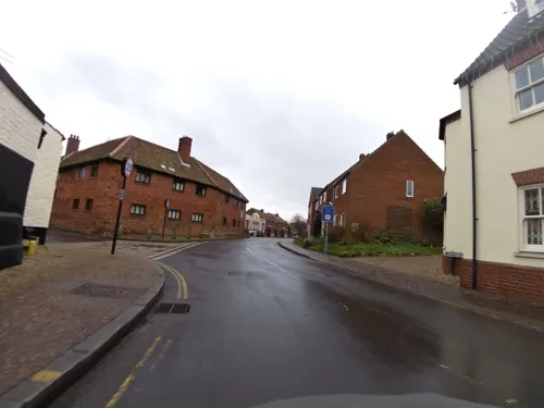
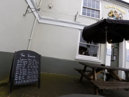
Photos of Reepham

Things to do1

Museums and landmarks2

Whitwell & Reepham Restored Railway Station
Monument and historic site · 1.0 mi

Parks, trails and playgrounds5

Sparham Pools
Park · 3.5 mi
Nature reserve near Sparham, England, United Kingdom



Restaurants and cafes13
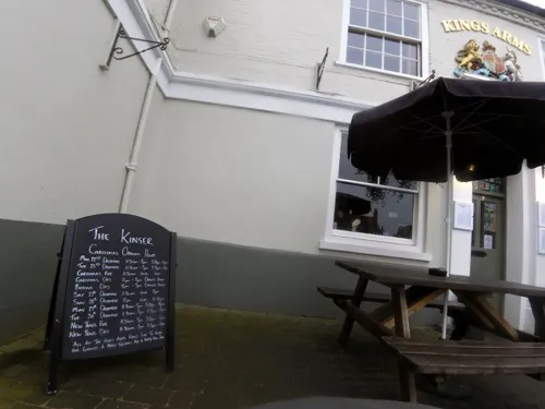

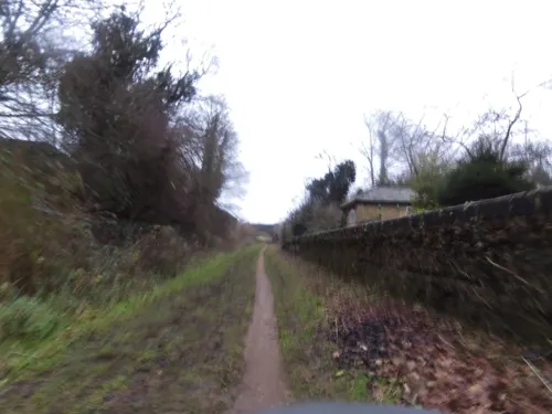
Kerri's Farmhouse Pine
Cafe · Coffee Shop · 0.4 mi
Station Road, Norwich
Mo-Fr 09:00-17:00; Sa-Su 10:00-16:00
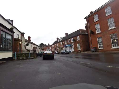
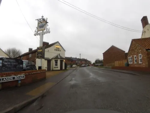
The Crown
Bar and pub
90 Ollands Road, Norwich
Mo-Tu,Th 12:00-22:00;We 15:00-22:00;Fr-Sa 12:00-01:00; Su 12:00-22:00


All Things Nice
Cafe · 2.3 mi
Delicatessen - Café - Patisserie
9 High Street, Norwich
1 more on the map.
History
The town is mentioned in the Domesday Book of 1086, in which it is listed as Refham meaning the bailiff's or reeve's manor from the Old English gerafa (bailiff) and ham (homestead). Reepham has had market town status since 1277; a sign to mark this has recently been erected. The town has undergone significant development throughout its life, with the housing in the area showing a mix of vintages, styles and purposes.
Reepham Town Hall was constructed in 1860, originally as a school.
In June 2021, archaeologists announced the discovery of gold coins thought to have been lost in the Black Death and dated back to the reign of Edward III near Reepham. According to researcher Helen Geake, one of the rare coins was 23 carats and known as a leopard, while other was called a noble. They were equal to £12,000 today and probably would have been owned by high ranked person.
From the History section of Reepham, Norfolk on Wikipedia, under CC BY-SA 4.0.
Notable people from Reepham
- Tony TuddenhamEnglish footballer (born 1956)
Born in Reepham, according to Wikidata (CC0). Each name links to its Wikipedia article.
Where to stay1
Churches and places of worship14
Shopping6
Gas and EV charging1
Schools, colleges and libraries4
Healthcare1
Map of Reepham
48 places. The map loads OpenStreetMap tiles when you open it.
Getting there and nearby towns
Norwich Airport (NWI) is the nearest airport with scheduled flights listed in OpenStreetMap, 9 miles away.
- Cawston 2 mi east, about 4 min by car
- Foulsham 4 mi west, about 7 min by car
- North Elmham 7 mi west, about 11 min by car
- Buxton 8 mi east, about 13 min by car
- East Dereham 9 mi southwest, about 15 min by car
- Bowthorpe 10 mi southeast, about 16 min by car
- Norwich 12 mi southeast, about 20 min by car
- North Walsham 12 mi east, about 20 min by car
- Shipdham 13 mi southwest, about 21 min by car
- Rackheath 13 mi southeast, about 21 min by car
Drive times are estimates from straight-line distance, not routes.
Towns near Reepham


Keep exploring
Local news
Headlines from INDB.
Reviews, tips and questions
Loading what members have shared...
Sources and licences
- GeoNames (CC BY 4.0): population, coordinates, regions and time zone
- Mapillary (see each image): photos
- OpenStreetMap contributors (ODbL 1.0): places, airports, map data
- Wikidata (CC0 1.0): elevation, founding date, time zone, website, landmarks and historic places
- Wikimedia Commons (see each image): photos
- Wikipedia (CC BY-SA 4.0): overview and history text
Photo credits
- Sparham Pools 3, Dudley Miles, CC BY-SA 4.0
- Lyng (Norfolk) St Margaret's church (28546700161), Jules & Jenny from Lincoln, UK, CC BY 2.0
- Salle, Ss Peter & Paul church (28302361035), Jules & Jenny from Lincoln, UK, CC BY 2.0
- Whitwell and REepham station August 2010, DiverScout ( talk ), CC BY-SA 3.0
- Reepham (Norfolk) St Mary's church, St Michael's at rear (27852499673), Jules & Jenny from Lincoln, UK, CC BY 2.0
- Bell public house, Cawston, Norfolk,14 06 2010, stavros1, CC BY 3.0
- Whitwell & Reepham station and steam train, Neith-Nabu, CC BY-SA 4.0
- St Edmund's Chapel, Lyng 2, Blue Square Thing, CC BY-SA 4.0
- Street-level photo, smsm1, CC BY-SA 4.0
- Street-level photo, smsm1, CC BY-SA 4.0
- Street-level photo, smsm1, CC BY-SA 4.0
- Street-level photo, smsm1, CC BY-SA 4.0
- Street-level photo, smsm1, CC BY-SA 4.0
- Street-level photo, smsm1, CC BY-SA 4.0
- Street-level photo, smsm1, CC BY-SA 4.0
- Street-level photo, smsm1, CC BY-SA 4.0
- Street-level photo, smsm1, CC BY-SA 4.0
- Street-level photo, smsm1, CC BY-SA 4.0
- Street-level photo, smsm1, CC BY-SA 4.0
- Street-level photo, smsm1, CC BY-SA 4.0
- Street-level photo, smsm1, CC BY-SA 4.0
- Street-level photo, smsm1, CC BY-SA 4.0

Page built November 10, 2026. Spotted a mistake? Tell us or suggest a place.