


Why visit Colne
Townapedia lists 4 museums and landmarks, 10 parks and trails, 50 places to eat and 3 attractions in and around town.
Highlights include Pendle Hippodrome, The Muni, Castercliff and Pendle Heritage Centre.
Weather in Colne
Forecast from MET Norway (CC BY 4.0). Full forecast
About Colne
Colne () is a market town and civil parish in the Borough of Pendle in Lancashire, England. The town is 3 miles (5 km) northeast of Nelson, 6 miles (10 km) northeast of Burnley and 25 mi (40 km) east of Preston.
From the Wikipedia article Colne (this version), under CC BY-SA 4.0.
Photos of Colne

Things to do3
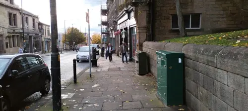
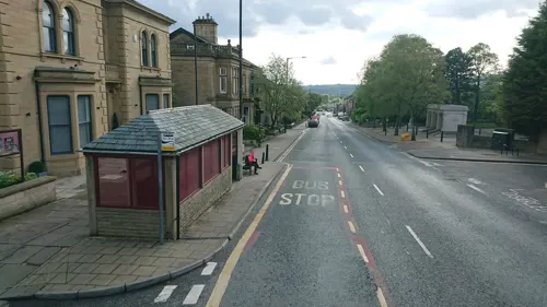

Pendle Hippodrome Theatre
Cinema and theater
Theatre and former cinema in Colne, England
Museums and landmarks4

Castercliff
Monument and historic site · 1.1 mi
Hillfort in Lancashire, England, UK

Pendle Heritage Centre
Museum · 1.7 mi
Museum and art gallery in Lancashire, England, United Kingdom


Parks, trails and playgrounds10



Knotts Lane Community Garden
Park · 0.5 mi
Knotts Lane Community Garden. Community Designed, built and maintained as a place of peace and well being. Free access to everyone in...


Restaurants and cafes50
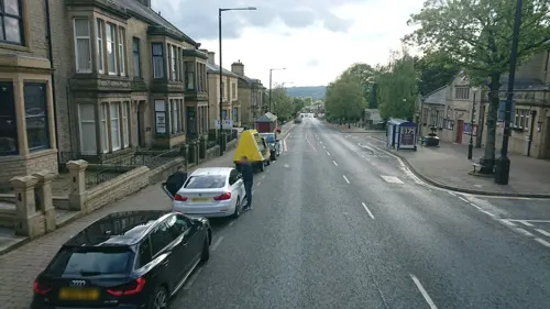
Carlo's
Restaurant · Italian
60A Albert Road, Colne
Mo off; Tu-Th 17:00-21:30; Fr-Sa 17:00-22:30; Su 15:00-21:00
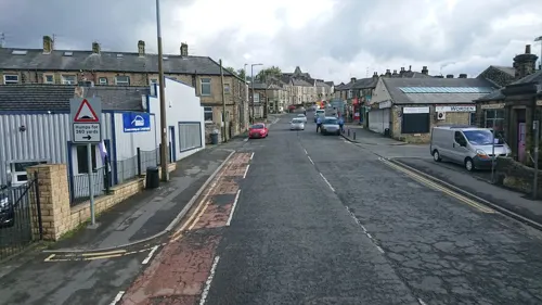
Teas To Please
Cafe · Tea, Cake, Panini, Sandwich, Salad
27 Skipton Road, Colne
We-Fr 10:00-17:00, Sa 10:00-15:00
The Wallace Hartley
Bar and pub
35-37 Church Street, Colne
Mo,Tu,We,Th,Su 08:00-24:00; Fr,Sa 08:00-25:00
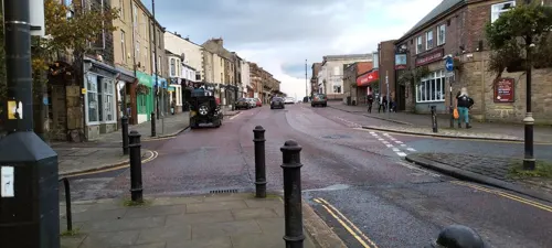
About Coffee Ltd
Cafe · Coffee Shop
26 Church Street, Colne
Mo-Fr 08:00-17:00, Sa 09:00-16:00
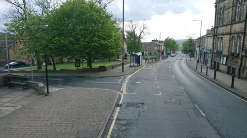
Boyce's Barrel
Bar and pub
7 New Market Street, Colne
Su, Tu-Fr 16:00-21:00; Sa 13:00-21:00
Mojo's
Bar and pub
9 New Market Street, Colne
Tu-We 16:00-21:00; Th 16:00-23:00; Fr 14:00-00:00; Sa 13:00-00:00;...
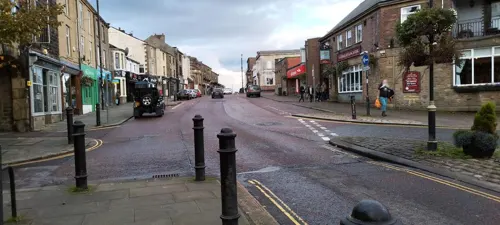
Olives Bistro & Mediterranean
Restaurant · Mediterranean
14 Church Street, Colne
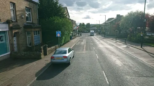
The Venue, Colne
Bar and pub · 0.4 mi
105 Albert Road, Colne
Su-Th 12:00-24:00; Fr,Sa 12:00-01:00

The Pavilion Cafe
Cafe · 0.6 mi
Alkincoats Road, Colne
Mo-Su 09:30-15:00


38 more on the map.
History
Settlement in the area can be traced back to the Stone Age. A Mesolithic camp site, a Bronze Age burial site and stone tools from the Bronze and Stone Ages have been discovered at nearby Trawden. There are also the remains of an Iron Age fort, dating from the 6th century BC, above Colne at Castercliff.
Although a Roman road passes through nearby Barnoldswick, and some Roman coins have been discovered, there is no conclusive evidence of the Romans having occupied the area. There is, however, some debate among local historians as to whether the Romans may have stayed at Castercliff.
From the early 6th century to the late 10th century, Colne came under Northumbrian and then Viking rule, finally coming firmly under Norman control in the 11th century. Then, from the 1090s until 1311, the area was controlled by the de Lacys of Pontefract from their outpost at Clitheroe Castle. Pendle Forest and Trawden Forest date from this period; forests in those times being hunting grounds for royals and other nobles. St Bartholomew's Church dates from before 1122 when the town's market was located in the churchyard. The churchyard used to house the market cross and wooden stocks on wheels and people were placed in these on market days. The stocks are now located in the nearby library. The market cross is in Market Street.
Read more of the history
The town developed in two parts: Colne, on top of the ridge; and Waterside, at the base of the southern slope, next to Colne Water. By 1296, a corn mill and a fulling mill had been established down by the river. By the 15th century, Colne had become the main market town in the area with markets (latterly held on Tuesdays) and a major centre for the woollen trade, in particular for the production of lightweight kersey. With the Industrial Revolution, cotton manufacturing became the main industry in the town, fuelled by the completion of the Leeds and Liverpool Canal in 1816, and by the arrival of the railway in 1848.
The cross allows a market to be held there and dates back to the 15th century. The market cross was originally at the junction of Colne Lane and Church Street. It was first moved to the grounds of The Gables on Albert Road, the location of Colne Library until around 1970. It has now been relocated to outside the Market Hall on Market Street, part of the main road through the town centre.
The rise of Chartism saw riots here over the imposition of the 'new' police force in April and August 1840. John Halstead, a special constable, was killed by a mob armed with sharpened iron rails during the second. In both cases troops marched from Burnley Barracks and the violence ceased with their arrival.
Colne is on the edge of the Burnley Coalfield and coal was being mined at Fox Clough, to south of the town, from the early 17th century. Fox Clough Colliery also known as Engine Pit, was started by the Executors of John Hargreaves company, probably around 1832. By the 1840s, a surface drift was located at the foot of the clough, on the south side of Colne Water, and a tramroad crossed the river connecting the colliery to a coal yard in the town. It seems the coal here was not of a high quality, as during the winter of 1860 a local newspaper reported that the frozen canal and diversion of railway wagons had forced the inhabitants of Colne, to resort to town's coal pit. Fox Clough Colliery was abandoned in 1872, but Trawden Colliery (1874 - 1890), located about 200 metres up the valley, continued production from the same workings. The tramroad was marked as disused in 1893. By 1891, there were 30 cotton mills listed in Colne with more in the surrounding areas of Trawden and Laneshaw Bridge. The largest had 2,400 looms and the smallest 56.
From the History section of Colne on Wikipedia, under CC BY-SA 4.0.
More about Colne
Economy
Colne's former cotton industry has all but disappeared. Many of the textile weaving mills that used to punctuate the landscape have been demolished to make way for new retail outlets and modern housing. Others lie semi-derelict, but the best examples continue to provide jobs for local residents by accommodating new manufacturing and service businesses. Strong growth has been experienced in precision engineering, particularly associated with the aerospace sector, as Rolls-Royce Aerospace operates a large wide chord fan-blade manufacturing facility in nearby Barnoldswick.
The town's main employment area is located at Whitewalls, which sits astride the boundary with Nelson adjacent to Junction 14 on the M65 motorway. To help stimulate development an undeveloped 5 hectare area of the estate was designated as part of the East Lancashire Enterprise Zone in December 1983 making it, at that time, the smallest Enterprise Zone in the country. This successful estate now extends to over 27 hectares and is home to a wide range businesses including a large abattoir. Walshaw House, the headquarters of the East Lancashire Primary Care Trust, which occupies a recent extension to the estate, reflects recent growth in the service sector.
Education
Colne Grammar School was a focus for education from the Middle Ages and had John Tillotson an Archbishop of Canterbury (1691–1694) amongst its alumni. Construction of the 'new school' on Barrowford Road was completed 1941. It finally closed in the late 20th century when Nelson and Colne College, which then occupied the building, consolidated its operations on a site in nearby Barrowford. The red brick building, was converted to apartments in 2009 and now forms the centrepiece of an executive housing development known as The Locks.
There are several pre-schools in the area which are spread across the town.
There are several primary schools in the Colne area, one of which is a Catholic school. The schools in the town are:
Colne Christ Church Church of England Voluntary Aided Primary School
Foulridge St Michael and All Angels CofE Voluntary Aided Primary School
For details of more schools around Colne see Foulridge, Trawden, Nelson, Laneshaw Bridge and Brierfield.
There are also three high schools in Colne: Colne Primet Academy, Park High School and Ss John Fisher and Thomas More RC High School.
From the Wikipedia article Colne, under CC BY-SA 4.0.
Notable people from Colne
 Brian RedmanBritish racecar driverPhoto: Curt Smith from Bellevue, WA, USA, CC BY 2.0
 Jeff Smithformer world champion motocross racerPhoto: Harry Pot for Anefo ]], CC BY-SA 3.0 nl
 William Pickles HartleyBritish businessman (1846-1922)Photo: InoxSpence, CC BY-SA 4.0
- Wallace Hartleyband leader on the RMS Titanic (1878–1912)
- John CunliffeBritish writer (1933–2018)
- Tom ShawBritish trade unionist and politician (1872-1938)
- Jim CollinsFootballer (1923-1996)
- Ken BracewellEnglish footballer (born 1936)
- Geoff HallEnglish cricketer (1941-2009)
- Kevin HirdEnglish footballer (born 1955)
- John D. HargreavesBritish historian
- Dave WalkerEnglish footballer (1941-2015)
Born in Colne, according to Wikidata (CC0). Each name links to its Wikipedia article.
Churches and places of worship9
Shopping10
Gas and EV charging4
Schools, colleges and libraries16
Colne Christ Church Church of England Voluntary Aided Primary School
School · Anglican · 1.1 mi
Bent Lane, Colne
Foulridge Saint Michael and All Angels CofE Voluntary Aided Primary School
School · Anglican · 1.0 mi
Skipton Road, Colne
Ss John Fisher and Thomas More Roman Catholic High School
School · Roman Catholic · 1.1 mi
Gibfield Road, Colne
Healthcare2
Map of Colne
108 places. The map loads OpenStreetMap tiles when you open it.
Getting there and nearby towns
Leeds Bradford Airport (LBA) is the nearest airport with scheduled flights listed in OpenStreetMap, 21 miles away.
- Nelson 2 mi southwest, about 3 min by car
- Burnley 5 mi southwest, about 8 min by car
- Padiham 7 mi southwest, about 11 min by car
- Skipton 9 mi northeast, about 15 min by car
- Todmorden 10 mi south, about 17 min by car
- Great Harwood 11 mi southwest, about 18 min by car
- Rawtenstall 12 mi southwest, about 19 min by car
- Haslingden 12 mi southwest, about 20 min by car
- Blackburn 15 mi southwest, about 24 min by car
- Bradford 18 mi east, about 28 min by car
Drive times are estimates from straight-line distance, not routes.
Towns near Colne


![Photo: Harry Pot for Anefo ]], CC BY-SA 3.0 nl](https://commons.wikimedia.org/wiki/File:Jeff_Smith_1962.jpg)

Keep exploring
Local news
Headlines from INDB.
Reviews, tips and questions
Loading what members have shared...
Sources and licences
- GeoNames (CC BY 4.0): population, coordinates, regions and time zone
- Mapillary (see each image): photos
- OpenStreetMap contributors (ODbL 1.0): places, airports, map data
- Wikidata (CC0 1.0): elevation, founding date, time zone, website, landmarks and historic places
- Wikimedia Commons (see each image): photos
- Wikipedia (CC BY-SA 4.0): overview and history text
Photo credits
- Shackleton Hall, Colne, Peter James, CC BY-SA 4.0
- Cross in St Bartholomew's churchyard, Colne, Peter James, CC BY-SA 4.0
- St Bartholomew's Church, Colne 2017, Peter James, CC BY-SA 4.0
- Spire of St Mary's Church from Nelson town centre, RailwayJG, CC BY-SA 4.0
- St Bartholomew's Church, Colne, Dr Neil Clifton, CC BY-SA 2.0
- St Michael and All Angels, Foulridge, Tim Green, CC BY 2.0
- The Red Lion - panoramio (4), Immanuel Giel, CC BY 3.0
- Castercliff hillfort 02, Trappedinburnley, CC BY-SA 4.0
- At Pendle Heritage Centre - panoramio, Immanuel Giel, CC BY 3.0
- Memorial to Wallace Hartley 2 (5919183979), Tim Green from Bradford, CC BY 2.0
- Marsden Park, Meg Metcalfe, CC BY-SA 2.0
- Street-level photo, trigpoint, CC BY-SA 4.0
- Street-level photo, skifans, CC BY-SA 4.0
- Street-level photo, skifans, CC BY-SA 4.0
- Street-level photo, tonys999, CC BY-SA 4.0
- Street-level photo, trigpoint, CC BY-SA 4.0
- Street-level photo, trigpoint, CC BY-SA 4.0
- Street-level photo, tonys999, CC BY-SA 4.0
- Street-level photo, skifans, CC BY-SA 4.0
- Street-level photo, tonys999, CC BY-SA 4.0
- Street-level photo, skifans, CC BY-SA 4.0
- Street-level photo, trigpoint, CC BY-SA 4.0
- Street-level photo, trigpoint, CC BY-SA 4.0
- Street-level photo, skifans, CC BY-SA 4.0
- Street-level photo, skifans, CC BY-SA 4.0
- Street-level photo, trigpoint, CC BY-SA 4.0
- Street-level photo, skifans, CC BY-SA 4.0
- Street-level photo, skifans, CC BY-SA 4.0
Page built November 10, 2026. Spotted a mistake? Tell us or suggest a place.