


Crowthorne, United Kingdom
Crowthorne is a town of 25,522 people in England, United Kingdom.
Why visit Crowthorne
Townapedia lists 7 museums and landmarks, 18 parks and trails, 22 places to eat, 1 place to stay and 7 attractions in and around town.
Highlights include Camberley Theatre, South Hill Park, Edgbarrow Woods and East Berkshire Golf Club.
Weather in Crowthorne
Forecast from MET Norway (CC BY 4.0). Full forecast
About Crowthorne
Crowthorne is a village, and civil parish, in the Bracknell Forest district of southeastern Berkshire, England. It had a population of 7,806 at the 2021 census.
From the Wikipedia article Crowthorne (this version), under CC BY-SA 4.0.
Photos of Crowthorne

Things to do7

Camberley Theatre
Cinema and theater · 3.1 mi
400 seat Theatre in Surrey, England

South Hill Park
Cinema and theater · 2.4 mi
Arts centre, theatre and cinema in a former mansion in Bracknell, England


Museums and landmarks7

Parks, trails and playgrounds18

Edgbarrow Woods
Park · 0.9 mi
Woods situated between Sandhurst and Crowthorne, Berkshire, England




6 more on the map.
Restaurants and cafes22
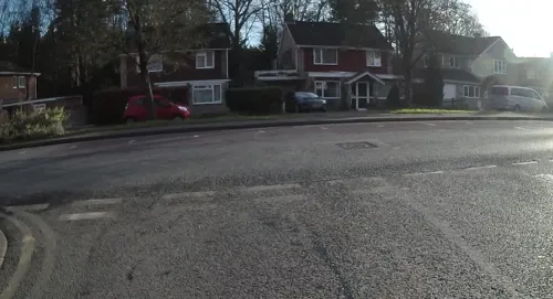
The Hive Craft Beer & Coffee Shop
Cafe · Coffee Shop · 1.1 mi
208-210 Duke's Ride, Crowthorne
Su, Tu-We 09:00-17:00; Th-Sa 09:00-21:30
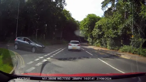
The Golden Retriever
Bar and pub · 1.4 mi
Nine Mile Ride
Mo-Tu 12:00-23:00; We-Fr 11:00-23:00; Sa 09:00-23:00; Su 09:00-22:30
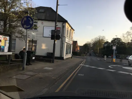
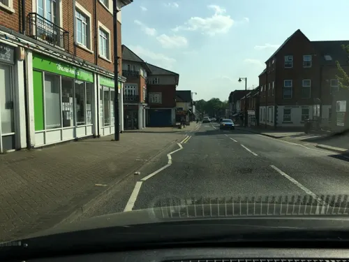
Costa
Cafe · Coffee Shop
104 High Street, Crowthorne
Mo-Fr 06:30-18:00; Sa 07:30-18:00; Su 08:30-16:30
Hall & Woodhouse Crowthorne
Bar and pub · 0.6 mi
Fosters Lane, Crowthorne
Mo-Fr 10:00-23:00; Sa 09:30-23:00; Su 09:30-10:00


10 more on the map.
History
Crowthorne was only a hamlet until Wellington College opened in 1859 and Broadmoor Hospital in 1863. Crowthorne was originally part of the parish of Sandhurst, and acquired its name as the postal authority wished to give it a name to facilitate deliveries from Wokingham, instead of post coming from York Town (which with Cambridge Town became known as Camberley). "Albertonville" was suggested in honour of the Prince Consort, but the suggestion of "Crowthorne", after thorn trees at Brookers Corner at the top of the village, was adopted. There was a Crowthorne Farm prior to this, and it appeared as a separate holding in the Royal Forest of Windsor in the Domesday Book, although the present farm buildings do not date back to this time.
Crowthorne railway station, originally Wellington College for Crowthorne Station, opened in 1860 and burgeoned quickly.
Edgcumbe Park, a prominent award-winning housing estate and an example of British mid-century modern architecture, was constructed off Dukes Ride in Crowthorne between 1958 and 1972 by the Renway Construction Company.
In the 1960s, the Transport Research Laboratory established by the UK Government as the Road Research Laboratory (RRL) opened in Crowthorne. It was privatised in 1996.
From the History section of Crowthorne on Wikipedia, under CC BY-SA 4.0.
More about Crowthorne
Geography
Crowthorne is part of the Reading/Wokingham Urban Area. It lies 4 miles (6.5 km) NNE of Camberley and some 5 miles (8 km) SSW of Bracknell. The Crowthorne urban area spills over into the neighbouring parish of Wokingham Without. However, most of the housing is in Crowthorne parish, which is part of Bracknell Forest district. North of Crowthorne is Pinewood, which has a leisure centre, cafe and miniature railway.
From the Wikipedia article Crowthorne, under CC BY-SA 4.0.
Notable people from Crowthorne
 Freeman Dysontheoretical physicist and mathematician (1923–2020)Photo: ioerror, CC BY-SA 2.0
 Robert Hugh BensonBritish writer and Catholic priest (1871–1914)Photo: Photograph by G. Jerrard, Public domain
 Bim AfolamiBritish politician (born 1986)Photo: Richard Townshend, CC BY 3.0
 Max StedmanBritish cyclistPhoto: Nthep, CC BY-SA 4.0
 Vernon BarfordBritish photographer and musician (1876-1963)Photo: Unknown author Unknown author, Public domain
- A. C. BensonEnglish essayist and poet, 1862–1925 (1862–1925)
- Margaret BensonBritish author and Egyptologist (1865–1916)
- Henry BroughamEnglish cricketer and rugby union footballer (1888-1923)
- Bill RobertsonEnglish footballer (1923-2003)
- Peter BakerEnglish cricketer (1945-2000)
- Olive Selden Attride TattersallBritish carcinologist (1890-1978)
- Simon AnnandBritish photographer (born 1955)
Born in Crowthorne, according to Wikidata (CC0). Each name links to its Wikipedia article.
Where to stay1
Churches and places of worship9
St Michael and St Mary Magdalene's Church, Easthampstead
Church · 2.6 mi
Kingdom Hall of Jehovah's Witnesses
Church · Jehovahs Witness · 1.3 mi
Old Wokingham Road
Shopping7
Gas and EV charging1
Schools, colleges and libraries16
St. Sebastian's Church of England Primary School and Nursery
School · Anglican · 1.4 mi
Nine Mile Ride, Wokingham
Healthcare4
Map of Crowthorne
92 places. The map loads OpenStreetMap tiles when you open it.
Getting there and nearby towns
Blackbushe Airport (BBS) is the nearest airport with scheduled flights listed in OpenStreetMap, 4 miles away.
- Sandhurst 2 mi south, about 3 min by car
- Frimley 4 mi southeast, about 7 min by car
- Sunninghill 6 mi east, about 10 min by car
- Reading 10 mi northwest, about 16 min by car
- Woking 11 mi east, about 17 min by car
- Egham 11 mi east, about 18 min by car
- Windsor 11 mi northeast, about 18 min by car
- Henley-on-Thames 12 mi north, about 20 min by car
- Slough 13 mi northeast, about 21 min by car
- Basingstoke 15 mi southwest, about 24 min by car
Drive times are estimates from straight-line distance, not routes.
Towns near Crowthorne


Keep exploring
Local news
Headlines from INDB.
Reviews, tips and questions
Loading what members have shared...
Sources and licences
- GeoNames (CC BY 4.0): population, coordinates, regions and time zone
- Mapillary (see each image): photos
- OpenStreetMap contributors (ODbL 1.0): places, airports, map data
- Wikidata (CC0 1.0): elevation, founding date, time zone, website, landmarks and historic places
- Wikimedia Commons (see each image): photos
- Wikipedia (CC BY-SA 4.0): overview and history text
Photo credits
- Camberley Theatre, Knoll Road, Camberley, Surrey, Mertbiol, CC0
- South Hill Park, rear view, Garrick Hywel Darts, CC BY-SA 4.0
- Edgbarrow Woods nature reserve, Alan Hunt, CC BY-SA 2.0
- St Michaels Easthampstead Front, Tim Sneller, Public domain
- Church of St Tarcisius, Camberley, Lewis Hulbert, CC BY-SA 4.0
- Wellington College front 01, Lewis Hulbert, CC BY-SA 3.0
- Building work at Broadmoor-aerial 2015, Chris, CC BY-SA 2.0
- Street-level photo, darbymark, CC BY-SA 4.0
- Street-level photo, jpennycook, CC BY-SA 4.0
- Street-level photo, jpennycook, CC BY-SA 4.0
- Street-level photo, jpennycook, CC BY-SA 4.0
- Street-level photo, jpennycook, CC BY-SA 4.0
- Street-level photo, OrangeHurst97, CC BY-SA 4.0
- Street-level photo, darbymark, CC BY-SA 4.0
- Street-level photo, darbymark, CC BY-SA 4.0
- Street-level photo, darbymark, CC BY-SA 4.0
- Street-level photo, darbymark, CC BY-SA 4.0
- Street-level photo, darbymark, CC BY-SA 4.0
- Street-level photo, jpennycook, CC BY-SA 4.0
- Street-level photo, jpennycook, CC BY-SA 4.0
- Street-level photo, jpennycook, CC BY-SA 4.0
- Street-level photo, darbymark, CC BY-SA 4.0
- Street-level photo, jpennycook, CC BY-SA 4.0
- Street-level photo, jpennycook, CC BY-SA 4.0
- Street-level photo, jpennycook, CC BY-SA 4.0
- Street-level photo, darbymark, CC BY-SA 4.0
- Street-level photo, jpennycook, CC BY-SA 4.0
- Street-level photo, OrangeHurst97, CC BY-SA 4.0
- Street-level photo, darbymark, CC BY-SA 4.0
- Street-level photo, darbymark, CC BY-SA 4.0
- Street-level photo, jpennycook, CC BY-SA 4.0
- Street-level photo, Kraeson, CC BY-SA 4.0
Page built November 10, 2026. Spotted a mistake? Tell us or suggest a place.