


Sunninghill, United Kingdom
Sunninghill is a town of 11,603 people in England, United Kingdom.
Why visit Sunninghill
Townapedia lists 4 museums and landmarks, 5 parks and trails, 49 places to eat, 5 places to stay and 4 attractions in and around town.
Highlights include Novello Theatre, Seasons Farm Shop, Sunningdale Barrows and Silwood Park.
Weather in Sunninghill
Forecast from MET Norway (CC BY 4.0). Full forecast
About Sunninghill
Sunninghill is a village in the civil parish of Sunninghill and Ascot in the Royal Borough of Windsor and Maidenhead in the English county of Berkshire.
From the Wikipedia article Sunninghill, Berkshire (this version), under CC BY-SA 4.0.
Photos of Sunninghill

Things to do4



Museums and landmarks4

Sunningdale Barrows
Monument and historic site · 1.3 mi
Barrows in Sunningdale, Berkshire, England, UK
Parks, trails and playgrounds5

Silwood Park
Park · 0.8 mi
Rural campus of Imperial College London, United Kingdom



Restaurants and cafes49
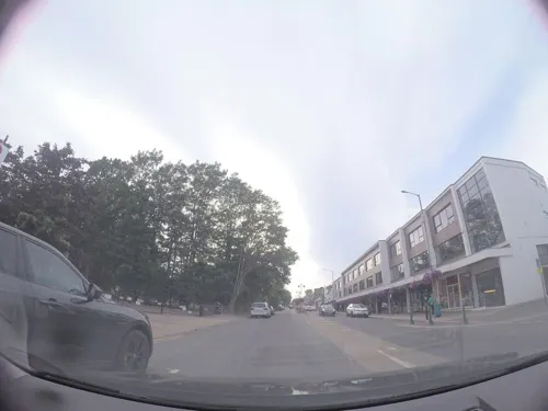
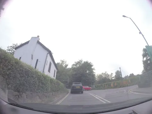
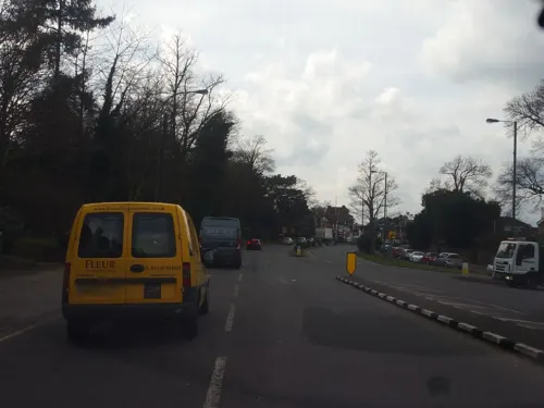

37 more on the map.
History
The Church of England parish church of St Michael and All Angels was originally established about 890 but was rebuilt in 1808 and 1826–27. Cordes Hall in the centre of the village, was designed by Edward and Joseph Morris and built in 1902.
From the History section of Sunninghill, Berkshire on Wikipedia, under CC BY-SA 4.0.
Notable people from Sunninghill
- Clement von FranckensteinEnglish actor (1944-2019)
Born in Sunninghill, according to Wikidata (CC0). Each name links to its Wikipedia article.
Where to stay5
Churches and places of worship8
Shopping9
Gas and EV charging1
Schools, colleges and libraries16
St Francis Catholic Primary School, South Ascot
School · Roman Catholic · 0.8 mi
Coronation Road, Ascot
Healthcare5
Map of Sunninghill
106 places. The map loads OpenStreetMap tiles when you open it.
Getting there and nearby towns
Blackbushe Airport (BBS) is the nearest airport with scheduled flights listed in OpenStreetMap, 10 miles away.
- Windsor 6 mi northeast, about 10 min by car
- Woking 7 mi southeast, about 11 min by car
- Slough 8 mi north, about 13 min by car
- Weybridge 9 mi east, about 14 min by car
- Sunbury-on-Thames 10 mi east, about 16 min by car
- Walton-on-Thames 10 mi east, about 17 min by car
- West Drayton 11 mi northeast, about 17 min by car
- Reading 14 mi west, about 23 min by car
- High Wycombe 16 mi north, about 26 min by car
- Harrow 19 mi northeast, about 30 min by car
Drive times are estimates from straight-line distance, not routes.
Towns near Sunninghill


Keep exploring
Local news
Headlines from INDB.
Reviews, tips and questions
Loading what members have shared...
Sources and licences
- GeoNames (CC BY 4.0): population, coordinates, regions and time zone
- Mapillary (see each image): photos
- OpenStreetMap contributors (ODbL 1.0): places, airports, map data
- Wikidata (CC0 1.0): elevation, founding date, time zone, website, landmarks and historic places
- Wikimedia Commons (see each image): photos
- Wikipedia (CC BY-SA 4.0): overview and history text
Photo credits
- EnglandBerkshireSunninghill03, HenrikKbh, CC BY-SA 3.0
- EnglandBerkshireSunninghillSchool, HenrikKbh, CC BY-SA 3.0
- EnglandBerkshireSunninghillPostoffice, HenrikKbh, CC BY-SA 3.0
- EnglandBerkshireSunninghill02, HenrikKbh, CC BY-SA 3.0
- EnglandBerkshireSunninghill01, HenrikKbh, CC BY-SA 3.0
- SilwoodParkSimonMortimer, Simon Mortimer, CC BY-SA 2.0
- Royal Berkshire Hotel, James Wood, CC BY-SA 2.0
- Tocher and Tocher price list and catalogue 1954, w:Tocher and Tocher Taxidermists, Public domain
- Sunningdale Park Parklands, ArticleSloth, CC BY-SA 4.0
- Street-level photo, essexboy, CC BY-SA 4.0
- Street-level photo, ilmarinen946, CC BY-SA 4.0
- Street-level photo, 4004, CC BY-SA 4.0
- Street-level photo, 4004, CC BY-SA 4.0
- Street-level photo, 4004, CC BY-SA 4.0
- Street-level photo, ilmarinen946, CC BY-SA 4.0
- Street-level photo, essexboy, CC BY-SA 4.0
- Street-level photo, 4004, CC BY-SA 4.0
- Street-level photo, 4004, CC BY-SA 4.0
- Street-level photo, 4004, CC BY-SA 4.0
- Street-level photo, 4004, CC BY-SA 4.0
- Street-level photo, jpennycook, CC BY-SA 4.0
- Street-level photo, ilmarinen946, CC BY-SA 4.0
- Street-level photo, ilmarinen946, CC BY-SA 4.0
- Street-level photo, ilmarinen946, CC BY-SA 4.0
- Street-level photo, ilmarinen946, CC BY-SA 4.0
- Street-level photo, ilmarinen946, CC BY-SA 4.0
- Street-level photo, 4004, CC BY-SA 4.0
- Street-level photo, 4004, CC BY-SA 4.0

Page built November 10, 2026. Spotted a mistake? Tell us or suggest a place.