


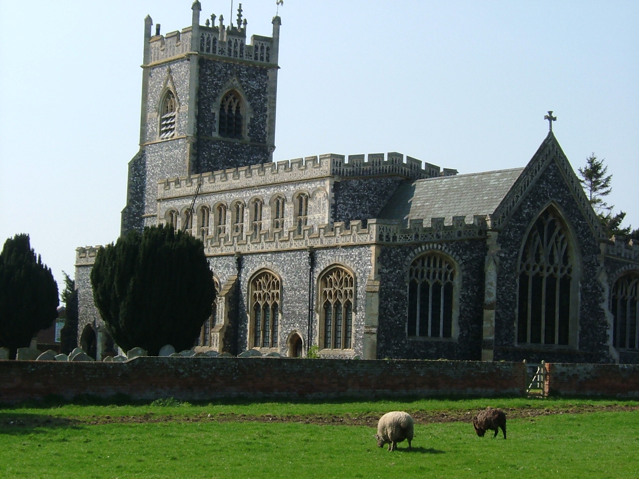


Why visit Dedham
Townapedia lists 11 museums and landmarks, 3 parks and trails, 16 places to eat, 3 places to stay and 2 attractions in and around town.
Highlights include Bridge Cottage, The Munnings Art Museum and Cattawade Marshes.
Weather in Dedham
Forecast from MET Norway (CC BY 4.0). Full forecast
About Dedham
Dedham is a village and civil parish in the City of Colchester district of Essex, England. It is near the River Stour, which is the border of Essex and Suffolk. The nearest town to Dedham is the small market town of Manningtree. The area around Dedham is recognised for its natural beauty, being designated as the Dedham Vale National Landscape.
From the Wikipedia article Dedham, Essex (this version), under CC BY-SA 4.0.
Things to do2


Museums and landmarks11

Bridge Cottage
Museum · 1.1 mi
Historic cottage in Flatford, Suffolk, England, UK
Flatford Lane
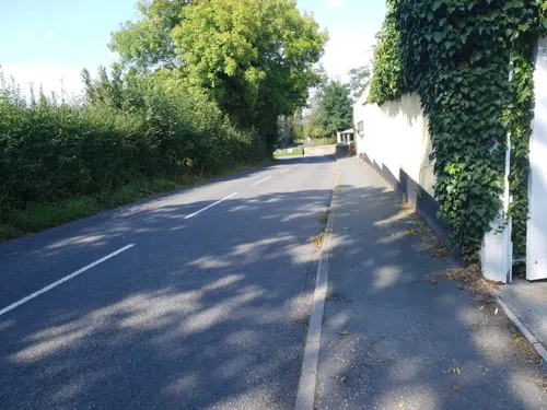
The Munnings Art Museum
Museum · 0.6 mi
Castle Hill, Dedham
Apr-Oct PH We-Su 14:00-17:00
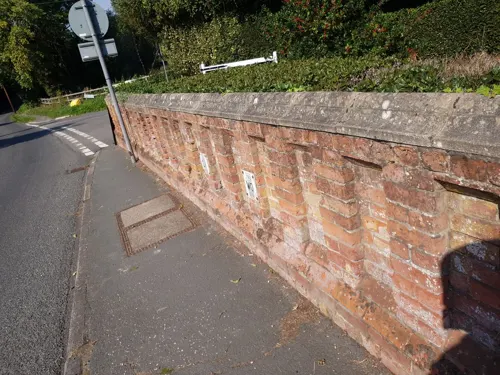

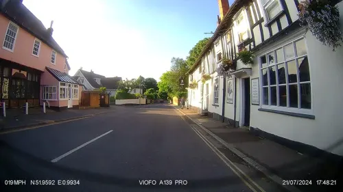
Dedham War Memorial
Monument and historic site
Cross mounted on a shaft which in turn is mounted on a plinth with a three-stepped base the whole standing in a cobbled area.




Parks, trails and playgrounds3

Cattawade Marshes
Park · 2.3 mi
RSPB Nature Reserve in the United Kingdom
Restaurants and cafes16
Oranges and Lemons
Cafe · 1.4 mi
Tu-Fr 10:00-15:30; Sa 10:00-16:00

The Essex Rose
Cafe
High Street, Colchester
Mar Su[-1]-Oct Su[-1] -1 day: Mo-Su,PH 09:00-17:00; Oct Su[-1]-Mar...
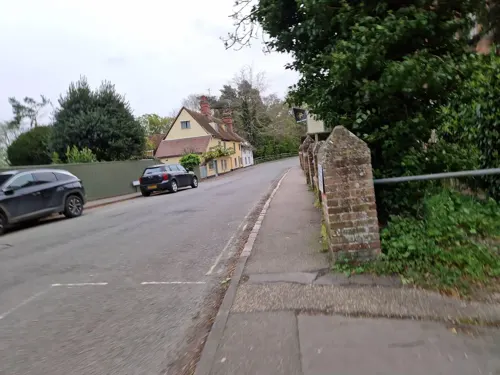
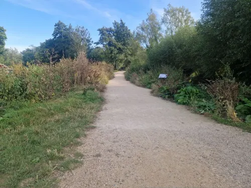
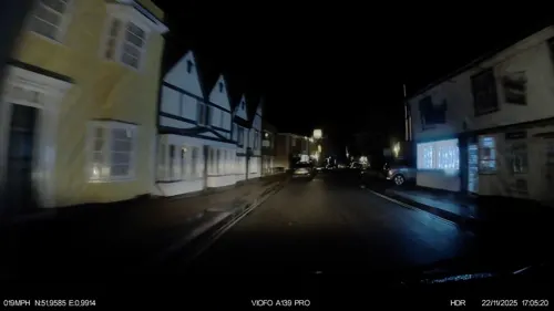


4 more on the map.
History
Early documents record the name as Diddsham, presumably for a family known as Did or Didd. For centuries, the parish of Dedham was in the Hundred of Lexden.
In 1582–1587, a schismatic Presbyterian Christian group called the Dedham Classis, which included dozens of members opposed to the established church, was active in north-east Essex. This group held clandestine meetings and prayer groups in and around Colchester and surrounding villages like Dedham, publishing and distributing versions of Wycliffe's Bible and various other Calvinist texts obtained from London; the Dedham Classis is the best recorded of those active in the sixteenth century.
A group of early dissenters left Dedham to found the township of Dedham in the Massachusetts Bay Colony in 1635. Under the leadership of John Rogers, a preacher banned from his work in England, they established a settlement on the western edge of the colony first established in 1628, now a suburb of the city of Boston. Despite some early setbacks this township eventually proved very successful and a number of prominent US families can trace their ancestry from these early arrivals from East Anglia – see note below on William Tecumseh Sherman.
From the History section of Dedham, Essex on Wikipedia, under CC BY-SA 4.0.
More about Dedham
Geography
Dedham is frequently rated as containing some of England's most beautiful Lowland landscape, most particularly the water meadows of the River Stour, which passes along the northern boundary of the village forming the boundary between Essex and Suffolk. Dedham has a central nuclear settlement around the Church and the junction of Mill Lane and the High Street (part of the B1029). Connected to Dedham are the hamlets of The Heath and Lamb Corner. The village forms a key part of the Dedham Vale.
Economy
Formerly a rich wool town and market town, Dedham is a flourishing commercial village, with a post office, butcher, Co-op, grocer, delicatessen, cafe, tea rooms, art shop and various other shops. Agriculture is also important with mainly arable land (sugar beet and wheat) but also cattle grazing on the water meadows and some sheep on Grove Hill. There is an industrial estate near the A12 road, a main route passing the west of the village. A business centre and nursing home have recently opened.
From the Wikipedia article Dedham, Essex, under CC BY-SA 4.0.
Notable people from Dedham
 Joseph GibbsEnglish composerPhoto: Thomas Gainsborough, Public domain
 Francis TerryBritish architectPhoto: LemonArc, CC BY-SA 4.0
- John BondBritish footballer (1932-2012)
- Alice LeeBritish mathematician
- Robin DrysdaleBritish tennis player
- William Haggarfilm director (1851-1925)
- Roy WalshBritish association football player (born 1947)
- Philip ShermanAmerican colonial settler
- Major DownesBritish Army officer (1834-1923)
Born in Dedham, according to Wikidata (CC0). Each name links to its Wikipedia article.
Where to stay3
Churches and places of worship7
Stratford St Mary Chapel
Church · Evangelical · 1.0 mi
Upper Street, Stratford St Mary
Shopping4
Schools, colleges and libraries4
East Bergholt Church of England Voluntary Controlled Primary School
School · Anglican · 1.4 mi
School Lane, East Bergholt
Dedham Church of England Voluntary Controlled Primary School
School · Anglican · 0.4 mi
Parsons Field, Dedham
Healthcare2
Map of Dedham
52 places. The map loads OpenStreetMap tiles when you open it.
Getting there and nearby towns
RAF Honington (BEQ) is the nearest airport with scheduled flights listed in OpenStreetMap, 28 miles away.
- Boxted 4 mi west, about 6 min by car
- Colchester 6 mi southwest, about 10 min by car
- Ipswich 10 mi northeast, about 16 min by car
- Bildeston 11 mi north, about 17 min by car
- Sudbury 12 mi northwest, about 20 min by car
- Harwich 12 mi east, about 20 min by car
- Kesgrave 13 mi northeast, about 20 min by car
- Clacton-on-Sea 14 mi southeast, about 22 min by car
- Frinton-on-Sea 14 mi southeast, about 22 min by car
- Walton-on-the-Naze 14 mi southeast, about 22 min by car
Drive times are estimates from straight-line distance, not routes.
Towns near Dedham


Keep exploring
Local news
Headlines from INDB.
Reviews, tips and questions
Loading what members have shared...
Sources and licences
- GeoNames (CC BY 4.0): population, coordinates, regions and time zone
- Mapillary (see each image): photos
- OpenStreetMap contributors (ODbL 1.0): places, airports, map data
- Wikidata (CC0 1.0): elevation, founding date, time zone, website, landmarks and historic places
- Wikimedia Commons (see each image): photos
- Wikipedia (CC BY-SA 4.0): overview and history text
Photo credits
- Flatford-Mill, Rowland Shaw, CC BY-SA 2.5
- Willy Lott's Cottage, Lobsan, CC BY-SA 3.0
- 1033473 I Flatford, VALLEY FARMHOUSE East Bergholt 20260525 0001, Tilman2007, CC BY-SA 4.0
- Stratford St Mary church April 2005, Geomr~commonswiki, CC BY-SA 3.0
- AB62PAN-YX62FVV 170318-3 CPS (40880449631), Chris Sampson, CC BY 2.0
- K6 Telephone Kiosk Outside Old Grammar School, Octavius Aurelius, CC BY-SA 4.0
- Essex Rose Cafe, Peter Broster, CC BY-SA 4.0
- Bridge Cottage Flatford, Richard Slessor, CC BY-SA 2.0
- Street-level photo, edloach, CC BY-SA 4.0
- Street-level photo, edloach, CC BY-SA 4.0
- Street-level photo, edloach, CC BY-SA 4.0
- Street-level photo, edloach, CC BY-SA 4.0
- Street-level photo, edloach, CC BY-SA 4.0
- Street-level photo, edloach, CC BY-SA 4.0
- Street-level photo, edloach, CC BY-SA 4.0
- Street-level photo, IpswichEdits, CC BY-SA 4.0
- Street-level photo, IpswichEdits, CC BY-SA 4.0
- Street-level photo, edloach, CC BY-SA 4.0
- Street-level photo, edloach, CC BY-SA 4.0
- Street-level photo, IpswichEdits, CC BY-SA 4.0
- Street-level photo, edloach, CC BY-SA 4.0
- Street-level photo, edloach, CC BY-SA 4.0
Page built November 10, 2026. Spotted a mistake? Tell us or suggest a place.