


Kesgrave, United Kingdom
Kesgrave is a town of 11,020 people in England, United Kingdom.
Why visit Kesgrave
Townapedia lists 7 museums and landmarks, 29 parks and trails, 14 places to eat, 1 place to stay and 1 attraction in and around town.
Highlights include Regent Theatre, Martlesham Heath Control Tower Museum, Christchurch Mansion and Foxhall Stadium.
Weather in Kesgrave
Forecast from MET Norway (CC BY 4.0). Full forecast
About Kesgrave
Kesgrave is a town and civil parish in the East Suffolk district of Suffolk, England. The town is close to both Ipswich and Woodbridge. Its developed area was included within the ONS-defined Ipswich Built-up Area for statistical purposes at the 2011 Census.
From the Wikipedia article Kesgrave (this version), under CC BY-SA 4.0.
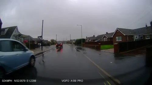
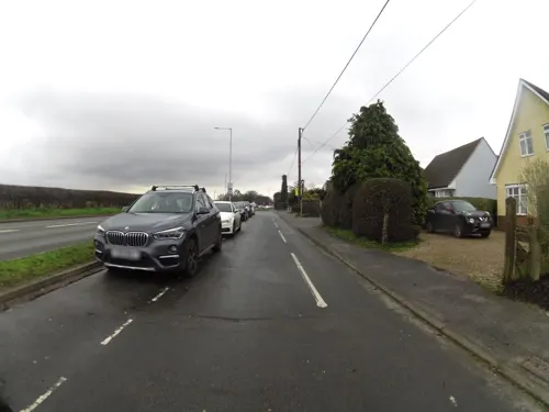
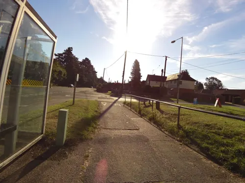
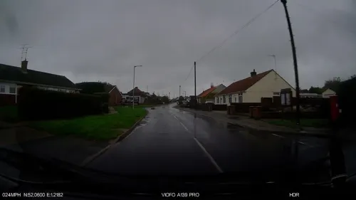
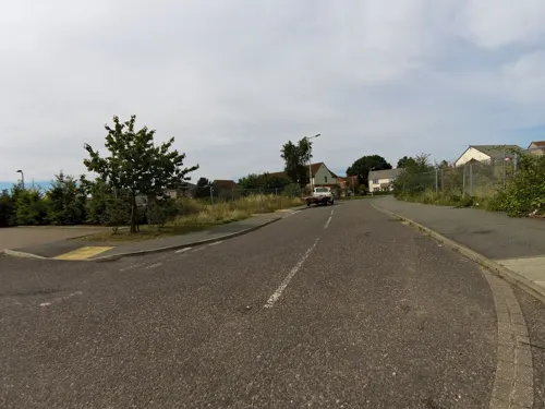
Photos of Kesgrave

Things to do1

Regent Theatre
Cinema and theater · 3.2 mi
Theatre in Ipswich, England, a former cinema
Museums and landmarks7
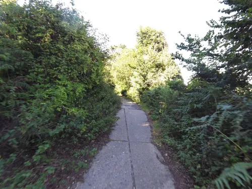

Christchurch Mansion
Museum · 3.3 mi
Historic house museum in Ipswich, England

Ipswich Transport Museum
Museum · 2.3 mi
Transport museum in the United Kingdom

Alnesbourne Priory
Monument and historic site · 3.2 mi
Augustinian priory in Suffolk, England, UK

Parks, trails and playgrounds29


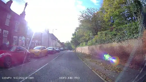
Alexandra Park
Park · 3.0 mi
Park in Ipswich, Suffolk, United Kingdom

Bixley Heath
Park · 1.9 mi
Biological Site of Special Scientific Interest

Christchurch Park
Park · 3.4 mi
Public park in Ipswich, Suffolk, England, UK



Newbourne Springs
Park · 3.3 mi
Suffolk Wildlife Trust nature reserve

17 more on the map.
Restaurants and cafes14
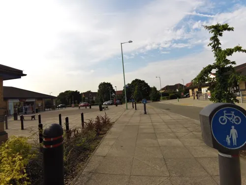


Rams grill
Fast food · Kebab, Pizza · 0.8 mi
63 Beech Road, Ipswich
Mo 15:15-21:45; We-Th 15:15-21:45; Fr-Sa 12:15-21:45; Su 15:15-21:45



No.1 Fish
Fast food · Fish And Chips
Ropes Drive, Ipswich
Mo-Sa 09:00-21:00
2 more on the map.
History
The name Kesgrave is thought to derive from the Old English cærsegræf or cærsegrǣfe meaning 'cress pit' or 'cress grove'.
The area was recorded as Gressgrava in the Domesday Book, by the late 15th century its name had become Kesgrave. Kesgrave remained a small agricultural settlement with just a church, inn and a few farmsteads for over 700 years.
In 1921 the population was only 103 housed in 20 dwellings. Since then great changes have taken place.
By 1988 Kesgrave covered an area of more than 800 acres (320 ha; 1.3 sq mi).
Kesgrave parish council officially adopted the title of a town in January 2000.
From the History section of Kesgrave on Wikipedia, under CC BY-SA 4.0.
Where to stay1
Churches and places of worship13
Shopping4
Schools, colleges and libraries9
Healthcare6
Map of Kesgrave
84 places. The map loads OpenStreetMap tiles when you open it.
Getting there and nearby towns
RAF Honington (BEQ) is the nearest airport with scheduled flights listed in OpenStreetMap, 27 miles away.
- Ipswich 3 mi west, about 6 min by car
- Woodbridge 4 mi northeast, about 7 min by car
- Felixstowe 8 mi southeast, about 13 min by car
- Harwich 9 mi south, about 14 min by car
- Stowmarket 13 mi northwest, about 22 min by car
- Walton-on-the-Naze 15 mi south, about 24 min by car
- Frinton-on-Sea 16 mi south, about 26 min by car
- Colchester 19 mi southwest, about 30 min by car
- Sudbury 22 mi west, about 35 min by car
- Diss 22 mi north, about 36 min by car
Drive times are estimates from straight-line distance, not routes.
Towns near Kesgrave


Keep exploring
Local news
Headlines from INDB.
Reviews, tips and questions
Loading what members have shared...
Sources and licences
- GeoNames (CC BY 4.0): population, coordinates, regions and time zone
- Mapillary (see each image): photos
- OpenStreetMap contributors (ODbL 1.0): places, airports, map data
- Wikidata (CC0 1.0): elevation, founding date, time zone, website, landmarks and historic places
- Wikimedia Commons (see each image): photos
- Wikipedia (CC BY-SA 4.0): overview and history text
Photo credits
- Christchurch-Mansion, Rowland Shaw, CC BY-SA 2.5
- Tramcar 33, Nowell87, CC BY-SA 4.0
- Bixley Heath 7, Dudley Miles, CC BY-SA 4.0
- Landseer Park - view west from east end of park, Leutha, CC BY-SA 4.0
- Mill Stream Nature Reserve 7, Dudley Miles, CC BY-SA 4.0
- Sandlings 10, Dudley Miles, CC BY-SA 4.0
- Church Of St Helen, Sumitsurai, CC BY-SA 4.0
- Ipswich - Church of St Margaret, Keith Evans, CC BY-SA 2.0
- Ipswich Blackfriars, Harry Wood, CC BY-SA 4.0
- Foxhall stadium, steve, CC BY-SA 2.0
- Bell Kesgrave, Steve James, CC BY-SA 4.0
- The Golf Hotel Ipswicj, Steven James Fosdick, CC BY-SA 4.0
- Foxhall Stadium, Kesgrave, Suffolk (24263031128), John Fielding from Norwich, UK, CC BY 2.0
- Adastral Park, Steven James Fosdick, CC BY-SA 4.0
- SSimple Minds - Live in Ipswich Regent Theatre 4th May 2015 - 17383663501, kitmasterbloke, CC BY 2.0
- Egg mass of a Caddis Fly (Glyphotaelius pellucidus) - Christchurch Park, Ipswich, East Suffolk - England - 5 Oct. 2014, Martin Cooper from Ipswich, UK, CC BY 2.0
- Street-level photo, IpswichEdits, CC BY-SA 4.0
- Street-level photo, IpswichEdits, CC BY-SA 4.0
- Street-level photo, smsm1, CC BY-SA 4.0
- Street-level photo, smsm1, CC BY-SA 4.0
- Street-level photo, smsm1, CC BY-SA 4.0
- Street-level photo, smsm1, CC BY-SA 4.0
- Street-level photo, smsm1, CC BY-SA 4.0
- Street-level photo, IpswichEdits, CC BY-SA 4.0
- Street-level photo, IpswichEdits, CC BY-SA 4.0
- Street-level photo, smsm1, CC BY-SA 4.0
- Street-level photo, smsm1, CC BY-SA 4.0
- Street-level photo, IpswichEdits, CC BY-SA 4.0
- Street-level photo, IpswichEdits, CC BY-SA 4.0
- Street-level photo, IpswichEdits, CC BY-SA 4.0
- Street-level photo, smsm1, CC BY-SA 4.0
- Street-level photo, IpswichEdits, CC BY-SA 4.0
- Street-level photo, smsm1, CC BY-SA 4.0
- Street-level photo, adam2, CC BY-SA 4.0
- Street-level photo, smsm1, CC BY-SA 4.0
- Street-level photo, smsm1, CC BY-SA 4.0


Page built November 10, 2026. Spotted a mistake? Tell us or suggest a place.