


Harwich, United Kingdom
Harwich is a town of 20,723 people in England, United Kingdom, founded in 1665.
Why visit Harwich
Townapedia lists 17 museums and landmarks, 17 parks and trails, 63 places to eat, 9 places to stay and 7 attractions in and around town.
Highlights include Harwich Maritime Museum, Harwich High Lighthouse, Felixstowe Museum and HMS Ganges.
Weather in Harwich
Forecast from MET Norway (CC BY 4.0). Full forecast
About Harwich
Harwich is a port town and civil parish in the Tendring district of Essex, England. It is one of the Haven ports on the North Sea coast. Nearby places include Felixstowe to the north-east, Ipswich to the north-west, Colchester to the south-west and Clacton-on-Sea to the south. It is the northernmost coastal town in Essex.
From the Wikipedia article Harwich (this version), under CC BY-SA 4.0.
Travel tips from other travellers: Harwich on Wikivoyage (CC BY-SA 4.0).
Photos of Harwich


Things to do7

Harwich High Lighthouse
Lighthouse
Lighthouse in Harwich, Essex, England, UK
Harwich Low Lighthouse
Lighthouse
Lighthouse in Harwich, Tendring, Essex, England, UK


Museums and landmarks17

HMS Ganges
Monument and historic site · 1.2 mi
Royal Navy shore establishment




Walton Priory
Monument and historic site · 3.3 mi
Benedictine priory in Suffolk, England, UK

Lightship LV18
Monument and historic site · 0.5 mi
The ex-Trinity House vessel LV18 is the last surviving example of a manned light vessel in British waters, which has been preserved in...
The Quay, Harwich


5 more on the map.
Parks, trails and playgrounds17





5 more on the map.
Restaurants and cafes63
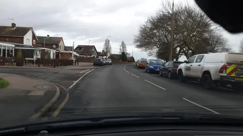
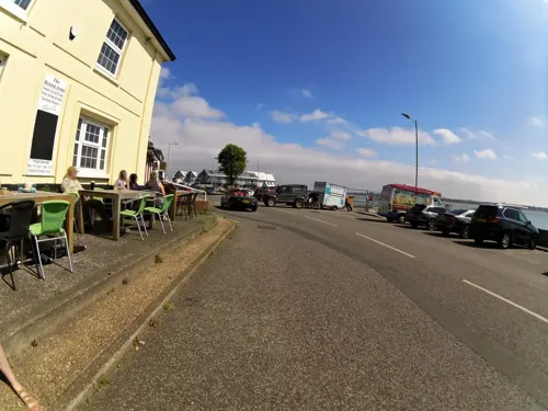
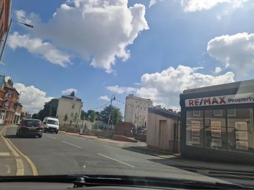
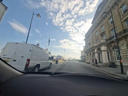
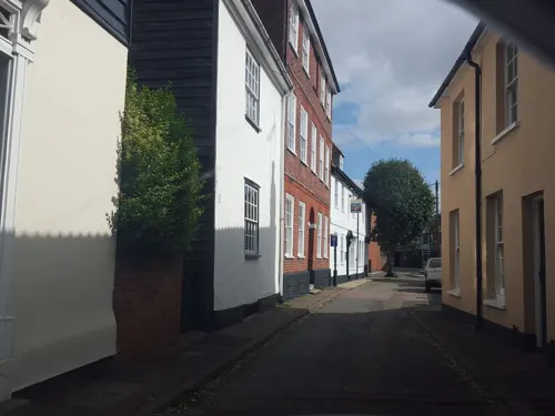
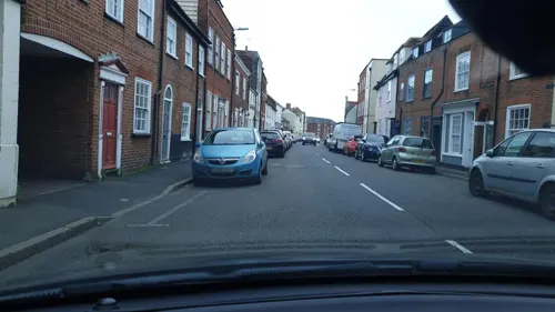

51 more on the map.
History
The town's name means "military settlement", from Old English here-wic.
Roman remains have been found in the area. In 885 the River Stour north of the town was the location for two battles.
Harwich was anciently part of the manor and parish of Dovercourt. The original village of Dovercourt was at what is now known as Upper Dovercourt, a little way inland. In 1177, a chapel of ease was recorded at Harwich, which was probably a very small settlement at that time. It was not until the Duke of Norfolk as lord of the manor obtained the right to hold a market at Harwich in 1253 that the town began to develop more significantly. Harwich was granted its first charter making it a borough in 1318. The town was deemed to be a separate parish for civil purposes by the 16th century, but remained part of the ecclesiastical parish of Dovercourt until 1871, when its chapel of St Nicholas was upgraded to being a parish church.
The town was the target of an abortive raid by French forces under Antonio Doria on 24 March 1339 during the Hundred Years' War.
Read more of the history
The town is known to have been granted several borough charters in medieval times, but the earliest surviving charter was issued in 1604. This charter confirms that the borough covered the whole area of the two parishes of Harwich St Nicholas and Dovercourt; it is not clear whether Dovercourt was added to the borough by virtue of that charter or whether Dovercourt was already included in the borough under the earlier lost charters.
Because of its strategic position, Harwich was the target for the invasion of Britain by William of Orange on 11 November 1688. However, unfavourable winds forced his fleet to sail into the English Channel instead and eventually land at Torbay. Due to the involvement of the Schomberg family in the invasion, Charles Louis Schomberg was made Marquess of Harwich.
Writer Daniel Defoe devotes a few pages to the town in A tour thro' the Whole Island of Great Britain. Visiting in 1722, he noted its formidable fort and harbour "of a vast extent". The town, he recounts, was also known for an unusual chalybeate spring rising on Beacon Hill (a promontory to the north-east of the town), which "petrified" clay, allowing it to be used to pave Harwich's streets and build its walls. The locals also claimed that "the same spring is said to turn wood into iron", but Defoe put this down to the presence of "copperas" in the water. Regarding the atmosphere of the town, he states: "Harwich is a town of hurry and business, not much of gaiety and pleasure; yet the inhabitants seem warm in their nests and some of them are very wealthy".
In the late 19th century and early 20th century the hamlet of Lower Dovercourt, lying on the western edge of Harwich between the town and the older village of Upper Dovercourt, was significantly developed. Both Upper Dovercourt and Lower Dovercourt were being described as suburbs of Harwich by the early 20th century. Lying next to Dovercourt railway station, Lower Dovercourt came to be known as Dovercourt and it now has the main town centre for the Harwich built up area; there are today few retail facilities in the old town of Harwich.
Harwich played an important part in the Napoleonic and more especially the two world wars. Of particular note:
During the Napoleonic Wars, Harwich was a Post Office Station for communication with Europe, one of the embarkation and evacuation bases for expeditions to Holland in 1799, 1809, and 1813/14; base for capturing enemy privateers. The dockyard built many ships for the Navy, including HMS Conqueror which captured the French Admiral Villeneuve at the Battle of Trafalgar. The Redoubt and the now-demolished Ordnance Building date from that era.
The Harwich Force, a destroyer flotilla, was established at Harwich under Commodore Tyrwhitt in the run-up to the First World War. From 1916, destroyers from Harwich escorted Dutch food exports from the Hook of Holland, with "almost total success." In November 1918, the German U-boat fleet surrendered to the Royal Navy in the harbour.
During the Second World War, Harwich was one of the main East Coast minesweeping and destroyer bases, at one period base for British and French submarines; assembled fleets for Dutch and Dunkirk evacuations and follow-up to D-Day; unusually, a target for Italian bombers during the Battle of Britain.
Harwich Dockyard was established as a Naval Dockyard in 1652. It ceased to operate as a Royal Dockyard in 1713 (though a Royal Navy presence was maintained until 1829). During the various wars with France and Holland, through to 1815, the dockyard was responsible for both building and repairing numerous warships. HMS Conqueror, a 74-gun ship completed in 1801, captured the French admiral Villeneuve at Trafalgar. The yard was then a semi-private concern, with the actual shipbuilding contracted to Joseph Graham, who was sometimes mayor of the town. During World War II parts of Harwich were again requisitioned for naval use and ships were based at HMS Badger; Badger was decommissioned in 1946, but the Royal Naval Auxiliary Service maintained a headquarters on the site until 1992.
In 1665, not long after the establishment of the Dockyard, a pair of lighthouses were set up on the Town Green to serve as leading lights for ships entering the harbour. Completely rebuilt in 1818, both towers are still standing (though they ceased functioning as lighthouses in 1863, when they were replaced by the Dovercourt Lighthouses, a new pair of lights at Dovercourt).
From the History section of Harwich on Wikipedia, under CC BY-SA 4.0.
Notable people from Harwich
 Kate HallDanish-British singerPhoto: Photographer & Edit: Marc Cantarellas-Calvó, CC BY-SA 4.0
 John AldenMayflower passenger and New World colonist (1599-1687)Photo: George H. Boughton, Public domain
 Christopher JonesEnglish sailor and master of the ''Mayflower'' (1570-1622)Photo: Ethan Doyle White, CC BY-SA 4.0
 John NunnEnglish sailor and authorPhoto: Dr Edward Clarke, c. 1849, Public domain
 Nick AlstonPolice and Crime CommissionerPhoto: Unknown author, CC BY 2.0
 Jacob Garrardpolitician, real estate agent and auctioneer in New South Wales, Australia (1846-1931)Photo: Unknown author Unknown author (Life..., Public domain
- Tony Newton, Baron Newton of BraintreeBritish politician (1937-2012)
- Peter FirminBritish artist (1928–2018)
- Liana BridgesBritish actress
- Robert Souper HowardChilean Army colonel
- James BarkerRhode Island colonial deputy governor
- Philip Caleycricketer (born 1962)
Born in Harwich, according to Wikidata (CC0). Each name links to its Wikipedia article.
Where to stay9
Churches and places of worship7
Kingsway Evangelical Church
Church · Evangelical · 1.3 mi
479-485 Main Road, Dovercourt
Shopping20
Gas and EV charging3
Schools, colleges and libraries9
All Saints' Church of England Voluntary Aided Primary School
School · Anglican · 1.4 mi
Main Road, Harwich
Healthcare4
Map of Harwich
156 places. The map loads OpenStreetMap tiles when you open it.
Getting there and nearby towns
RAF Honington (BEQ) is the nearest airport with scheduled flights listed in OpenStreetMap, 35 miles away.
- Walton-on-the-Naze 7 mi south, about 10 min by car
- Ipswich 10 mi northwest, about 16 min by car
- Woodbridge 11 mi north, about 17 min by car
- Colchester 17 mi west, about 27 min by car
- Stowmarket 21 mi northwest, about 34 min by car
- Sudbury 24 mi west, about 39 min by car
- Witham 29 mi west, about 47 min by car
- Maldon 30 mi southwest, about 48 min by car
- Southend-on-Sea 37 mi southwest, about 1 h by car
- Chelmsford 38 mi west, about 1 h by car
Drive times are estimates from straight-line distance, not routes.
Towns near Harwich


Keep exploring
Local news
Headlines from INDB.
Reviews, tips and questions
Loading what members have shared...
Sources and licences
- GeoNames (CC BY 4.0): population, coordinates, regions and time zone
- Mapillary (see each image): photos
- OpenStreetMap contributors (ODbL 1.0): places, airports, map data
- Wikidata (CC0 1.0): elevation, founding date, time zone, website, landmarks and historic places
- Wikimedia Commons (see each image): photos
- Wikipedia (CC BY-SA 4.0): overview and history text
Photo credits
- Harwich England, EvaK, CC BY-SA 2.5
- Harwich Town railway station platform, Oxyman, CC BY 2.5
- HMS Ganges mast, Coote, R G G (Lt) Royal Navy official photographer, Public domain
- High Lighthouse, Maria, CC BY-SA 3.0
- Electric Palace Cinema, Maria, CC BY-SA 3.0
- Locals up in arms as alien spaceship lands on Harwich allotments (17315033826), John Fielding from Norwich, UK, CC BY 2.0
- Dovercourt, - All Saints Church, Lonpicman, CC BY-SA 3.0
- The Mayflower Primary School, Victuallers, CC BY-SA 4.0
- Harwich lifeboat museum, Geof Sheppard, CC BY-SA 4.0
- Calshot Spit lightvessel, Murgatroyd49, CC BY-SA 4.0
- The Chapel at The Priory, Blythburgh 1377199, No Swan So Fine, CC BY-SA 4.0
- Kindertransport-arrive-uk, Wide World Photo, Public domain
- Herring Gull - Eats Cake (7366177260) (2) (2), Brian Mullender, CC BY 2.0
- DC04PAN-MX55WDT-3 190118 CPS (39815036101), Chris Sampson, CC BY 2.0
- Beacon Hill Fort in Harwich (17334519062), John Fielding from Norwich, UK, CC BY 2.0
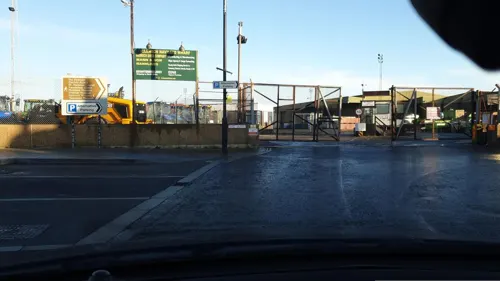
- Street-level photo, edloach, CC BY-SA 4.0
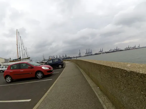
- Street-level photo, edloach, CC BY-SA 4.0
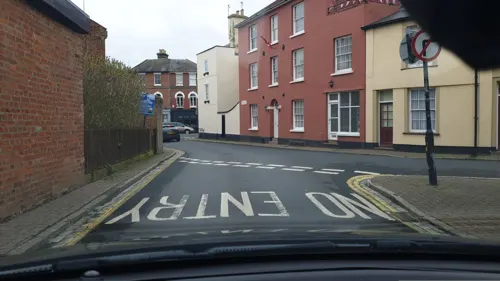
- Street-level photo, edloach, CC BY-SA 4.0
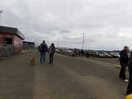
- Street-level photo, edloach, CC BY-SA 4.0
- Street-level photo, smsm1, CC BY-SA 4.0
- Street-level photo, smsm1, CC BY-SA 4.0
- Street-level photo, smsm1, CC BY-SA 4.0
- Street-level photo, adam2, CC BY-SA 4.0
- Street-level photo, edloach, CC BY-SA 4.0
- Street-level photo, edloach, CC BY-SA 4.0
- Street-level photo, edloach, CC BY-SA 4.0
- Street-level photo, edloach, CC BY-SA 4.0
- Street-level photo, edloach, CC BY-SA 4.0
- Street-level photo, edloach, CC BY-SA 4.0
- Street-level photo, smsm1, CC BY-SA 4.0
- Street-level photo, edloach, CC BY-SA 4.0
- Street-level photo, edloach, CC BY-SA 4.0
- Street-level photo, edloach, CC BY-SA 4.0
- Street-level photo, edloach, CC BY-SA 4.0
- Street-level photo, edloach, CC BY-SA 4.0
- Street-level photo, edloach, CC BY-SA 4.0
- Street-level photo, edloach, CC BY-SA 4.0
- Street-level photo, edloach, CC BY-SA 4.0
- Street-level photo, edloach, CC BY-SA 4.0
- Street-level photo, edloach, CC BY-SA 4.0


Page built November 10, 2026. Spotted a mistake? Tell us or suggest a place.