


Dunipace, United Kingdom
Dunipace is a town of 2,580 people in Scotland, United Kingdom.
Why visit Dunipace
Townapedia lists 4 museums and landmarks, 1 park or trail, 23 places to eat and 2 attractions in and around town.
Highlights include Auchinlinnylinn Spout and Tappoch Broch.
Weather in Dunipace
Forecast from MET Norway (CC BY 4.0). Full forecast
About Dunipace
Dunipace (Scottish Gaelic: Dùn a' Phais "The hill-fort of the pass") is a village in the west of the Falkirk council area of Scotland. The village is 6.3 miles (10.1 km) south of Stirling and 5.3 miles (8.5 km) north-west of Falkirk. The village is situated on the north bank of the River Carron and adjoins the town of Denny, to the south of the river. Dunipace is part of the historic county of Stirlingshire.
From the Wikipedia article Dunipace (this version), under CC BY-SA 4.0.
Things to do2
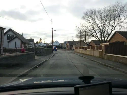

Auchinlinnylinn Spout
Waterfall · 3.3 mi
Waterfall in Stirling, Scotland, UK
Museums and landmarks4
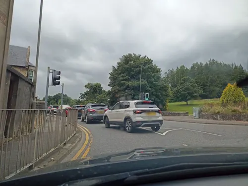

Tappoch Broch
Monument and historic site · 1.9 mi
Iron-age broch located near Falkirk, Scotland
Parks, trails and playgrounds1

Restaurants and cafes23
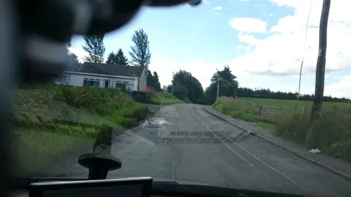
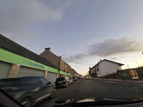




Campania Pizza
Fast food · Pizza, Coffee Shop, Burger
68 Duke Street, Denny
Th 16:30-21:00; Fr,Sa 16:30-22:00; Su 16:30-21:00; Mo-We off
11 more on the map.
History
In 1983 a temporary Roman marching camp was found from aerial photographs just outside the town, north of the Carron. A stone bridge was built between Dunipace and Denny in the 1820s. In 1876 Dunipace was joined with Denny to form the Denny and Dunipace Burgh. This was abolished in 1975 when both areas became part of Falkirk District.
A legend exists that the famous Scottish patriot William Wallace, lived in Dunipace with his uncle, who was a clergyman at the parish church.
Edward the First, King of England, (known as Longshanks), stayed in Dunipace for three weeks in September and October 1301.
From the History section of Dunipace on Wikipedia, under CC BY-SA 4.0.
Notable people from Dunipace
- Bobby BrownScottish footballer (1923-2020)
- Cameron BuchanBritish rower
- John BlackScottish footballer, played professionally from 1921 to 1932
- Nora MillerScottish zoologist
Born in Dunipace, according to Wikidata (CC0). Each name links to its Wikipedia article.
Churches and places of worship3
Shopping3
Gas and EV charging1
Schools, colleges and libraries7
Healthcare4
Map of Dunipace
48 places. The map loads OpenStreetMap tiles when you open it.
Getting there and nearby towns
Edinburgh Airport (EDI) is the nearest airport with scheduled flights listed in OpenStreetMap, 22 miles away.
- Head of Muir 1 mi south, about 2 min by car
- Dennyloanhead 2 mi south, about 3 min by car
- Larbert 3 mi east, about 5 min by car
- Plean 3 mi northeast, about 5 min by car
- Falkirk 5 mi east, about 9 min by car
- Cumbernauld 6 mi southwest, about 10 min by car
- Stirling 6 mi north, about 10 min by car
- Airth 6 mi northeast, about 10 min by car
- Kilsyth 7 mi southwest, about 11 min by car
- Grangemouth 8 mi east, about 12 min by car
Drive times are estimates from straight-line distance, not routes.
Towns near Dunipace


Keep exploring
Local news
Headlines from INDB.
Reviews, tips and questions
Loading what members have shared...
Sources and licences
- GeoNames (CC BY 4.0): population, coordinates, regions and time zone
- Mapillary (see each image): photos
- OpenStreetMap contributors (ODbL 1.0): places, airports, map data
- Wikidata (CC0 1.0): elevation, founding date, time zone, website, landmarks and historic places
- Wikimedia Commons (see each image): photos
- Wikipedia (CC BY-SA 4.0): overview and history text
Photo credits
- Dunipace Church, James Allan, CC BY-SA 2.0
- Dunipace, Youthworkstu, CC BY-SA 3.0
- Denny High School Courtyard, Andrew McGuckin2, CC BY-SA 4.0
- Street-level photo, xdTAGCLAN, CC BY-SA 4.0
- Street-level photo, xdTAGCLAN, CC BY-SA 4.0
- Street-level photo, xdTAGCLAN, CC BY-SA 4.0
- Street-level photo, ally447, CC BY-SA 4.0
- Street-level photo, ally447, CC BY-SA 4.0
- Street-level photo, houtari, CC BY-SA 4.0
- Street-level photo, xdTAGCLAN, CC BY-SA 4.0
- Street-level photo, ally447, CC BY-SA 4.0
- Street-level photo, ally447, CC BY-SA 4.0
- Street-level photo, ally447, CC BY-SA 4.0
- Street-level photo, xdTAGCLAN, CC BY-SA 4.0
- Street-level photo, ally447, CC BY-SA 4.0
- Street-level photo, xdTAGCLAN, CC BY-SA 4.0
- Street-level photo, ally447, CC BY-SA 4.0
- Street-level photo, xdTAGCLAN, CC BY-SA 4.0
- Street-level photo, ally447, CC BY-SA 4.0
- Street-level photo, houtari, CC BY-SA 4.0
- Street-level photo, ally447, CC BY-SA 4.0
- Street-level photo, ally447, CC BY-SA 4.0
- Street-level photo, xdTAGCLAN, CC BY-SA 4.0
- Street-level photo, ally447, CC BY-SA 4.0
- Street-level photo, ally447, CC BY-SA 4.0
Page built November 10, 2026. Spotted a mistake? Tell us or suggest a place.