


Eyemouth, United Kingdom
Eyemouth is a town of 3,580 people in Scotland, United Kingdom.
Why visit Eyemouth
Townapedia lists 5 museums and landmarks, 3 parks and trails, 8 places to eat and 5 places to stay in and around town.
Highlights include Eyemouth Museum, Eyemouth Fishing Disaster Memorial and Eyemouth Golf Club.
Weather in Eyemouth
Forecast from MET Norway (CC BY 4.0). Full forecast
About Eyemouth
Eyemouth is a coastal harbour town and civil parish in Berwickshire, in the Scottish Borders area of Scotland. It is two miles (three kilometres) east of the main north–south A1 road and eight miles (thirteen kilometres) north of Berwick-upon-Tweed. It had a population of 3,701 in 2022.
From the Wikipedia article Eyemouth (this version), under CC BY-SA 4.0.
Travel tips from other travellers: Eyemouth on Wikivoyage (CC BY-SA 4.0).
Photos of Eyemouth

Museums and landmarks5
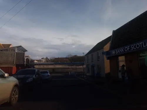

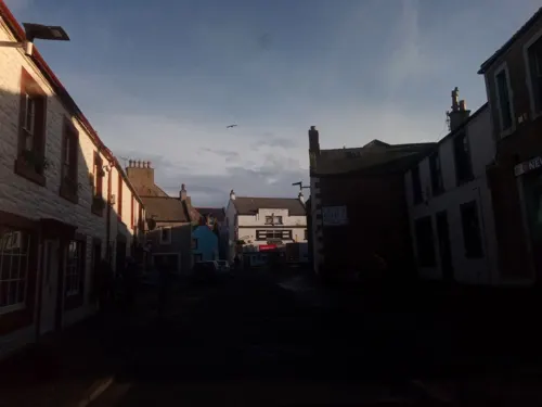
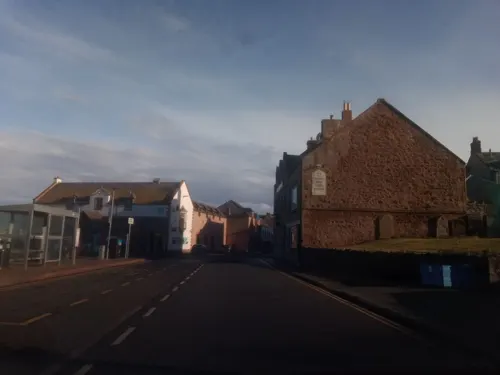
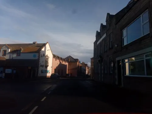
Parks, trails and playgrounds3


Restaurants and cafes8
Giacopazzi’s
Restaurant · Fish And Chips
20 Harbour Road, Eyemouth
Su-Th 11:30-19:00; Fr,Sa 11:30-20:00
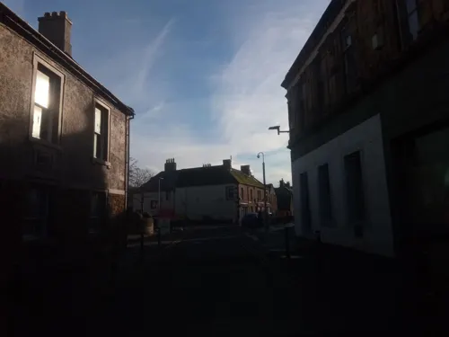
Kocero's
Restaurant · Pizza, Burger, Kebab, Asian, Fish And Chips
10 Market Place, Eyemouth
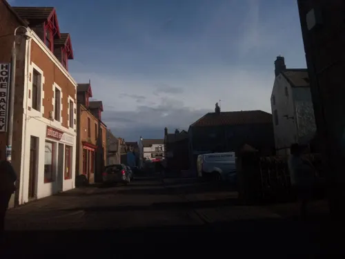

The Contented Sole
Bar and pub
Bar & restaurant
3-4 Old Quay Harbour Road
Mo-Th 11:00-24:00; Sa 11:00-01:00; Su 12:00-24:00
Where to stay5

History
Fort Point at Eyemouth was the site of the first trace-italienne-style fortification in Britain, built on a spur or peninsula overlooking the existing harbour during the war known as the Rough Wooing. Building commenced in 1547 by the English military engineer Sir Richard Lee (1513–1575), and it cost £1,906. Some of the stone was brought from a demolished tower at Dunglass Castle, East Lothian and timber was taken from Coldingham Priory.
The fort was demolished under the Treaty of Boulogne in 1551. A larger and more complex fort was built in 1557 and 1558 by d'Oisel and probably the Italian military engineer Lorenzo Pomarelli for the Regent of Scotland, Mary of Guise, when at war with England. The new fortress could hold some 500 French troops, and may have been intended as a staging post to securely store munitions and artillery near Berwick-upon-Tweed and the border with England. New fortifications were built at Berwick in response.
Read more of the history
New picks, mattocks, and shovels made in Edinburgh Castle were shipped to the workforce from Leith in April 1558, and provisions with butter, biscuit, cheese, flour, and ling (salt fish) were sent until October. However, the new work at Eyemouth, which perhaps was never completed, was scheduled for demolition under the Treaty of Cateau-Cambrésis in 1559. French garrisons remained in Scotland at Dunbar Castle, Inchkeith, and at Leith. The landward ramparts from both the English and French phases are still to be seen as earthworks.
Eyemouth fell within the feudal barony of Coldingham, possessed until the early 17th century by Coldingham Priory, after which it passed to the Home family, who had held lands in that barony since at least the 15th century. All landowners (portioners) within the barony held their properties either by hereditary feu or by a term-renewable, occasionally hereditary, tack (Scots word for a lease) from the barony.
The lands between the southern banks of the Eye Water consisted of three estates: Gunsgreen, immediately opposite Eyemouth and Netherbyres, once part of the larger lands of Flemington which stretched all the way to Lamberton. At the beginning of the 17th century Gunsgreen estate was possessed by Alexander Lauder of Gunsgreen, a great-great-grandson of Sir Robert Lauder of The Bass. On 17 January 1629, Alexander Lauder of Gunsgreen, acting as bailie for Sir David Home of Wedderburn, gave a sasine to Andrew Gray in Eyemouth, of some land on the boundaries of Houndlaw and also in Eyemouth.
Netherbyres was for at least 250 years held by the Craw (originally Auchincraw) family. "George Craw of Netherbyre" was "deceased" by July 1614 when his son William came into possession of that property and Reidhall, "with the walk mill" extending to 12 husbandlands (312 acres (126 hectares)). A later William Craw, who had a passion for mathematics, built the first modern harbour at Eyemouth and, in 1715, the elliptical walled garden, the latter almost certainly unique in the world. The Netherbyres House we see today was commenced about 1835 for Captain Samuel Brown, who had the patent and monopoly for the supply of anchor chain to the Royal Navy. He later went on to design and patent chain suspension piers and bridges, including the Union Bridge over the River Tweed,
John Churchill, 1st Duke of Marlborough was created Lord Churchill of Eyemouth in the Peerage of Scotland in 1682. This was the first of his peerage titles. In the late 18th century Dutch engineers undertook a survey for a canal linking Eyemouth to Duns. The plan would have involved damming the Whiteadder Water at Chirnside thus diverting the course of the Whiteadder Water through the low-lying area known as Billiemire to join the Eye Water near Ayton. The plan was never carried out.
The hero William Spears (1812–1885) is celebrated by a bronze statue in Eyemouth Market Place, where he stands pointing the way to Ayton, the scene of his peaceful demonstration. Spears led a revolt against the tithes on fish levied by the Church of Scotland, even after the great Disruption of 1843 when most fishermen left the established Church to join other congregations.
Very soon after the cost of getting the tithes removed had been met, the town was struck by the Eyemouth Disaster when, on 14 October 1881, most of the fishing fleet, some 20 boats and 129 men from the town, were lost in a terrible storm. Including victims from other coastal towns, a total of 189 men lost their lives. This is commemorated in the Eyemouth Tapestry housed in the museum.
A contemporary article offers an interesting insight into Eyemouth in the 1860s:
Between St Abbs Head and Berwick, however is situated Eyemouth, a fishing village pure and simple, with all that wonderful filth scattered about which is a sanitary peculiarity of such towns. The population of Eyemouth is in keeping with the outward appearance of the place. As a whole, they are rough, uncultivated, and more drunken in their habits than the fishermen of the neighbouring villages. Coldingham Shore, for instance, is only three miles distant, and has a population of about one hundred fishermen, of a very respectable class, sober and well dressed, and well to do.
The Six-inch Second Edition OS Map of Eyemouth shows the state of the harbour after 19th Century developments. The harbour was significantly extended in the latter part of the 20th Century. The following statistics show that in the years before the First World War Eyemouth was a successful fishing port.
In December 1920, a war memorial was unveiled in the town to those who died in the First World War. Netherbyres House was bought by Christopher Furness in 1928, and was donated to Gardeners' Royal Benevolent Society for charitable use by his second son, Colonel Simon Furness, the Vice Lord Lieutenant for Berwickshire.
From the History section of Eyemouth on Wikipedia, under CC BY-SA 4.0.
More about Eyemouth
Arts and culture
The wide sandy bay is flanked by high cliffs. Despite being sheltered by Hurkur Rocks, storms can generate high waves and throw high plumes of spume into the air over the sea wall. It is named "The Bantry", said to be in affectionate memory of the Irish labourers from the fishing town of that name in County Cork who constructed it.
The 18-hole golf course and clubhouse have sea views and a restaurant which is open to the public.
Divers can visit to the St Abbs and Eyemouth Voluntary Marine Reserve.
Eyemouth also has a leisure centre consisting of a gym, a studio, a sauna and two swimming pools, one small with a maximum depth of less than 3 feet and a big pool with a minimum depth of 3 feet to a maximum depth of 10 feet.
Education
Eyemouth Public School, in Albert Road, was built in 1876, designed by the architect William Gray Junior.
Children attend Eyemouth Primary School, after which they attend Eyemouth High School.
There is a further education training centre in the town. Northumberland College in Berwick-upon-Tweed is eight miles (13 km) away, and full-time further and higher education courses are offered at Borders College and Heriot-Watt University's textiles campus in Galashiels.
From the Wikipedia article Eyemouth, under CC BY-SA 4.0.
Notable people from Eyemouth
- Gary AndersonScottish darts player (born 1970)
- George Dougalassociation football player (1876-1941)
- Adam Millerassociation football player (1883-1917)
Born in Eyemouth, according to Wikidata (CC0). Each name links to its Wikipedia article.
Churches and places of worship3
Shopping2
Gas and EV charging2
Schools, colleges and libraries3
Healthcare2
Map of Eyemouth
33 places. The map loads OpenStreetMap tiles when you open it.
Getting there and nearby towns
Leuchars Station (ADX) is the nearest airport with scheduled flights listed in OpenStreetMap, 46 miles away.
- Berwick-Upon-Tweed 8 mi southeast, about 13 min by car
- Allanton 8 mi southwest, about 13 min by car
- Dunbar 19 mi northwest, about 30 min by car
- Belford 21 mi southeast, about 34 min by car
- Kelso 23 mi southwest, about 37 min by car
- Wooler 23 mi south, about 36 min by car
- East Linton 23 mi west, about 38 min by car
- Seahouses 26 mi southeast, about 42 min by car
- Haddington 27 mi west, about 44 min by car
- North Berwick 28 mi northwest, about 45 min by car
Drive times are estimates from straight-line distance, not routes.
Towns near Eyemouth


Keep exploring
Local news
Headlines from INDB.
Reviews, tips and questions
Loading what members have shared...
Sources and licences
- GeoNames (CC BY 4.0): population, coordinates, regions and time zone
- Mapillary (see each image): photos
- OpenStreetMap contributors (ODbL 1.0): places, airports, map data
- Wikidata (CC0 1.0): elevation, founding date, time zone, website, landmarks and historic places
- Wikimedia Commons (see each image): photos
- Wikipedia (CC BY-SA 4.0): overview and history text
Photo credits
- Eyemouth, Gunsgreen House - 20120604160115, LornaMCampbell, CC BY-SA 4.0
- Eyemouth harbour, Lisa Jarvis, CC BY-SA 2.0
- 09458 Former Old Church of Scotland & BG, Eyemouth 011, WeeHolly, CC BY-SA 4.0
- 09458 Former Old Church of Scotland & BG, Eyemouth 010, WeeHolly, CC BY-SA 4.0
- 09458 Former Old Church of Scotland & BG, Eyemouth 001, WeeHolly, CC BY-SA 4.0
- 09458 Former Old Church of Scotland & BG, Eyemouth 003, WeeHolly, CC BY-SA 4.0
- 09458 Former Old Church of Scotland & BG, Eyemouth 005, WeeHolly, CC BY-SA 4.0
- 1881 Eyemouth Fishing Disaster Memorial, Rosser1954, CC BY-SA 4.0
- Street-level photo, victuallers, CC BY-SA 4.0
- Street-level photo, victuallers, CC BY-SA 4.0
- Street-level photo, victuallers, CC BY-SA 4.0
- Street-level photo, victuallers, CC BY-SA 4.0
- Street-level photo, victuallers, CC BY-SA 4.0
- Street-level photo, victuallers, CC BY-SA 4.0
- Street-level photo, rudolfmayer, CC BY-SA 4.0
- Street-level photo, victuallers, CC BY-SA 4.0
- Street-level photo, victuallers, CC BY-SA 4.0
- Street-level photo, victuallers, CC BY-SA 4.0
- Street-level photo, victuallers, CC BY-SA 4.0
- Street-level photo, victuallers, CC BY-SA 4.0
- Street-level photo, rudolfmayer, CC BY-SA 4.0
- Street-level photo, victuallers, CC BY-SA 4.0
- Street-level photo, victuallers, CC BY-SA 4.0
- Street-level photo, victuallers, CC BY-SA 4.0
- Street-level photo, victuallers, CC BY-SA 4.0
- Street-level photo, victuallers, CC BY-SA 4.0
- Street-level photo, rudolfmayer, CC BY-SA 4.0
Page built November 10, 2026. Spotted a mistake? Tell us or suggest a place.