


Why visit Kelso
Townapedia lists 37 museums and landmarks, 14 parks and trails, 32 places to eat, 13 places to stay and 8 attractions in and around town.
Highlights include Kelso Bridge, Tait Hall, Floors Castle and Kelso Abbey.
Weather in Kelso
Forecast from MET Norway (CC BY 4.0). Full forecast
About Kelso
Kelso is a historic market town in the Scottish Borders area of Scotland. Within the boundaries of the historic county of Roxburghshire, it lies where the rivers Tweed and Teviot have their confluence. The town had a population of 7,023 in 2022.
From the Wikipedia article Kelso, Scottish Borders (this version), under CC BY-SA 4.0.
Travel tips from other travellers: Kelso on Wikivoyage (CC BY-SA 4.0).
Photos of Kelso


Things to do8
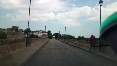



Museums and landmarks37


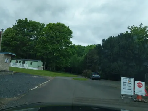
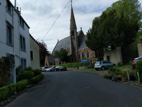

Roxburgh Castle
Monument and historic site · 0.9 mi
Ruined castle near Roxburgh, Scotland
24/7
25 more on the map.
Parks, trails and playgrounds14



2 more on the map.
Restaurants and cafes32
The Cobbles Inn
Bar and pub · Regional, Local, Fish And Chips, Burger
7 Bowmont Street, Kelso
We 15:00-20:30; Th-Sa 12:00-20:30; Su 12:00-16:30
Kelso Golf Club Clubhouse
Bar and pub · 0.7 mi
Golf Course Road, Kelso
Mo-We 11:00-16:00; Th 11:00-23:00; Fr 16:00-21:00; Sa 11:00-23:00;...


20 more on the map.
History
The town of Kelso came into being as a direct result of the creation of Kelso Abbey in 1128. The town's name stems from the earliest settlement having stood on a chalky outcrop, and the town was known as Calkou (or perhaps Calchfynydd) in those early days, something that is remembered in the modern street name, "Chalkheugh Terrace".
Standing on the opposite bank of the River Tweed from the now-vanished royal burgh of Roxburgh, Kelso and its sister hamlet of Wester Kelso were linked to the burgh by a ferry at Wester Kelso. A small hamlet existed before the completion of the abbey in 1128 but the settlement started to flourish with the arrival of the monks. Many were skilled craftsmen, and they helped the local population as the village expanded.
Archaeological excavations in the 1980s discovered that the original medieval burgh of Wester Kelso was much farther west than previously believed and that it was abandoned in the 14th or 15th centuries, at the same time that the royal burgh of Roxburgh was deserted, likely the result of the English occupation of Roxburgh Castle. The other settlement of Easter Kelso, near the abbey, survived and expanded from the market area around the abbey northwards towards the Floors estate by the early 18th century.
According to archaeologist D. R. Perry, "it is not clear whether the two
Read more of the history
The abbey controlled much of life in Kelso-area burgh of barony, called Holydean, until the Reformation in the 16th century. After that, the power and wealth of the abbey declined. The Kerr family of Cessford took over the barony and many of the abbey's properties around the town. By the 17th century, they virtually owned Kelso.
In Roxburgh Street is the outline of a horseshoe petrosomatoglyph where the horse of Charles Edward Stuart cast a shoe as he was riding it through the town on his way to Carlisle in 1745. He is also said to have planted a white rosebush in his host's garden, descendants of which are still said to flourish in the area.
For some period of time, the Kelso parish was able to levy a tax of two pennies Scots on every Scottish pint of ale, beer or porter sold within the town. The power to do this was extended for 21 years under the Kelso Two Pennies Scots Act 1802 (42 Geo. 3 c. 33) when the money was being used to replace a bridge across the River Tweed that had been destroyed by floods.
Kelso Town Hall was completed in 1816 and remodelled in 1908. The Corn Exchange, which now accommodates a health clinic, a dental clinic and an online publisher, was completed in 1856, and the war memorial was erected in 1921 to a design by Sir Robert Lorimer.
From the History section of Kelso, Scottish Borders on Wikipedia, under CC BY-SA 4.0.
Notable people from Kelso
 Oscar OnleyScottish cyclistPhoto: Geof Sheppard, CC BY-SA 4.0
 Jennie Kidd TroutCanadian physicianPhoto: Harris & Ewing, photographer, Public domain
 Henry OliverRoyal Navy admiral of the fleet (1865–1965)Photo: Francis Dodd, Public domain
 William Henry OgilvieScottish-Australian poetPhoto: John Kinmont MOIR (Life time: 1893-1958), Public domain
 William JerdanScottish journalist (1782-1869)Photo: Daniel Maclise, Public domain
 John DavidsonEnglish traveller in AfricaPhoto: Eden Upton Eddis / Maxim Gauci, Public domain
- Henry James Sumner MaineBritish jurist and historian (1822–1888)
- Henry MacintoshScottish athlete (1892-1918)
- William FairbairnScottish civil engineer, structural engineer and shipbuilder
- James Innes-Ker, 7th Duke of RoxburgheBritish politician (1839-1892)
- James R. BallantyneBritish orientalist (1813-1864)
- Rosemary PayneBritish discus thrower
Born in Kelso, according to Wikidata (CC0). Each name links to its Wikipedia article.
Where to stay13
Churches and places of worship9
Shopping23
Gas and EV charging1
Schools, colleges and libraries4
Healthcare5
Map of Kelso
146 places. The map loads OpenStreetMap tiles when you open it.
Getting there and nearby towns
Edinburgh Airport (EDI) is the nearest airport with scheduled flights listed in OpenStreetMap, 43 miles away.
- Saint Boswells 8 mi west, about 14 min by car
- Newtown St Boswells 9 mi west, about 15 min by car
- Melrose 11 mi west, about 18 min by car
- Galashiels 15 mi west, about 24 min by car
- Allanton 15 mi northeast, about 25 min by car
- Selkirk 16 mi west, about 26 min by car
- Wooler 17 mi east, about 27 min by car
- Hawick 18 mi southwest, about 30 min by car
- Berwick-Upon-Tweed 20 mi northeast, about 33 min by car
- Belford 23 mi east, about 38 min by car
Drive times are estimates from straight-line distance, not routes.
Towns near Kelso


Keep exploring
Local news
Headlines from INDB.
Reviews, tips and questions
Loading what members have shared...
Sources and licences
- GeoNames (CC BY 4.0): population, coordinates, regions and time zone
- Mapillary (see each image): photos
- OpenStreetMap contributors (ODbL 1.0): places, airports, map data
- Wikidata (CC0 1.0): elevation, founding date, time zone, website, landmarks and historic places
- Wikimedia Commons (see each image): photos
- Wikipedia (CC BY-SA 4.0): overview and history text
Photo credits
- Mayor of Kelso and ex kelso laddie George McKinley at the town hall, Victuallers, CC BY-SA 4.0
- Bank Kelso, Mainlymazza, CC BY-SA 4.0
- Next to bank Kelso, Mainlymazza, CC BY-SA 4.0
- Kelso next to bank, Mainlymazza, CC BY-SA 4.0
- Ednam Parish Church, Walter Baxter, CC BY-SA 2.0
- Kelso abbey with flowers, Scotfocus, CC BY-SA 4.0
- Floors Castle, Roxburghshire, Hogweard, Public domain
- Kelso public library, Victuallers, CC BY-SA 3.0
- Kelso War Memorial view from SW, with Abbey in background, Tom Parnell, CC BY-SA 4.0
- Cross keys pub in Kelso, Mainlymazza, CC BY-SA 4.0
- Kelso Abbey1, Mick Knapton at English Wikipedia, CC BY-SA 3.0
- Bank 2 Keslo, Mainlymazza, CC BY-SA 4.0
- An ironic slogan on RBS buiding, Mainlymazza, CC BY-SA 4.0
- Street-level photo, ccbb7766, CC BY-SA 4.0
- Street-level photo, ccbb7766, CC BY-SA 4.0
- Street-level photo, ccbb7766, CC BY-SA 4.0
- Street-level photo, ccbb7766, CC BY-SA 4.0
- Street-level photo, ccbb7766, CC BY-SA 4.0
- Street-level photo, victuallers, CC BY-SA 4.0
- Street-level photo, victuallers, CC BY-SA 4.0
- Street-level photo, ccbb7766, CC BY-SA 4.0
- Street-level photo, ccbb7766, CC BY-SA 4.0
- Street-level photo, ccbb7766, CC BY-SA 4.0
- Street-level photo, victuallers, CC BY-SA 4.0
- Street-level photo, victuallers, CC BY-SA 4.0
- Street-level photo, ccbb7766, CC BY-SA 4.0
- Street-level photo, ccbb7766, CC BY-SA 4.0
- Street-level photo, victuallers, CC BY-SA 4.0
- Street-level photo, ccbb7766, CC BY-SA 4.0
- Street-level photo, victuallers, CC BY-SA 4.0
- Street-level photo, floatingboater, CC BY-SA 4.0
- Street-level photo, ccbb7766, CC BY-SA 4.0
- Street-level photo, victuallers, CC BY-SA 4.0
- Street-level photo, ccbb7766, CC BY-SA 4.0
- Street-level photo, victuallers, CC BY-SA 4.0
- Street-level photo, victuallers, CC BY-SA 4.0
- Street-level photo, victuallers, CC BY-SA 4.0
- Street-level photo, victuallers, CC BY-SA 4.0
- Street-level photo, ccbb7766, CC BY-SA 4.0


Page built November 10, 2026. Spotted a mistake? Tell us or suggest a place.