


Why visit Wooler
Townapedia lists 9 museums and landmarks, 3 parks and trails, 19 places to eat, 9 places to stay and 6 attractions in and around town.
Highlights include Wooler Tower and Wooler War Memorial.
Weather in Wooler
Forecast from MET Norway (CC BY 4.0). Full forecast
About Wooler
Wooler is a town in Northumberland, England on the edge of the Northumberland National Park, near the Cheviot Hills. It is a popular base for walkers and is referred to as the "Gateway to the Cheviots". As well as shops and public houses, the town has a youth hostel, hotels and campsites. It lies on the St Cuthbert's Way long-distance footpath between Melrose Abbey and Lindisfarne.
From the Wikipedia article Wooler (this version), under CC BY-SA 4.0.
Travel tips from other travellers: Wooler on Wikivoyage (CC BY-SA 4.0).
Things to do6

Museums and landmarks9

Prehistoric enclosed settlement, Iron Age hillfort and medieval shielings on Humbleton Hill
Monument and historic site · 1.6 mi
Hillfort in Northumberland, England, UK
Parks, trails and playgrounds3


Restaurants and cafes19
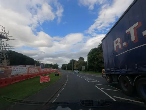
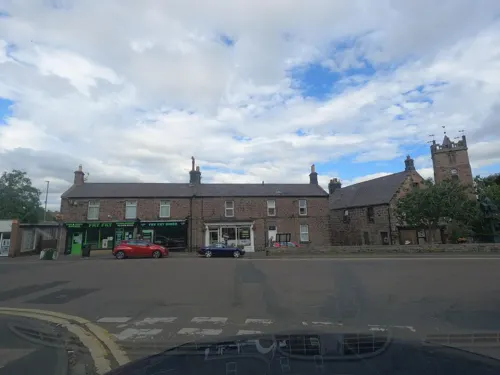
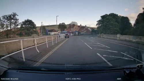
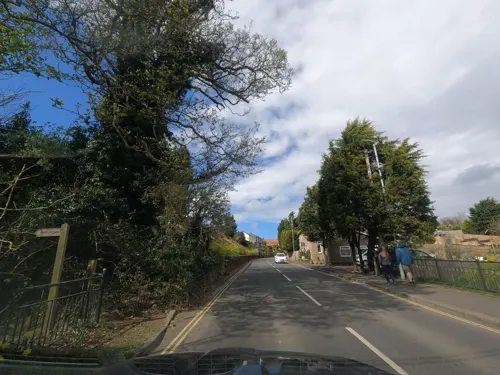
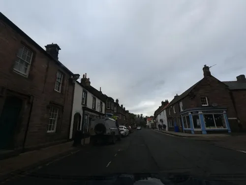
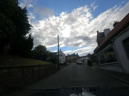


7 more on the map.
History
Wooler was not recorded in Domesday Book because in 1086 northern Northumbria was not under Norman control. By 1107, at the time of the creation of the 1st Baron Wooler, the settlement was described as "situated in an ill-cultivated country under the influence of vast mountains, from whence it is subject to impetuous rains". Wooler subsequently enjoyed a period of prosperity and with its expansion it was granted a licence in 1199 to hold a market every Thursday. St Mary Magdalene Hospital was established around 1288.
Wooler is close to Humbleton Hill, the site of a severe Scottish defeat at the hands of Harry Hotspur in 1402. The battle is referred to at the beginning of William Shakespeare's play Henry IV, Part 1 – of which Hotspur is the dashing hero.
After the Dissolution of the Monasteries the patronage and tithe income from the parish church passed from the Bishop of Durham to the Earl of Tankerville.
Alexander Dalziel of Wooler (1781–1832) was the father of the celebrated Dalziel Brothers. Seven of his eight children were artists and became celebrated wood-engravers in London. Their sister Margaret was also a wood-engraver.
There was once a fountain at the top of Church Street. Between 1887 and 1965 the town was served by Wooler railway station on the Alnwick to Cornhill Branch.
Read more of the history
Wooler formerly had a drill hall, which was also used as a picture house. Children were evacuated to Wooler in World War II. During the war the area played an important role in military training, including RAF Milfield. A wartime ordnance depot on Scotts Park in Wooler led to the discovery in 2025 of 177 practice bombs buried under the children's playground in the park.
From the History section of Wooler on Wikipedia, under CC BY-SA 4.0.
Notable people from Wooler
 Thomas Bolton Gilchrist Septimus DalzielEngraver who joined the Dalziel Brothers (1823-1906)Photo: Dalziel, Public domain
 John AlexanderChief Clerk, Bow Street Police Court (1830-1916)Photo: Unknown author Unknown author, Public domain
- Frank Mitchell MacPhersonCanadian politician
- Willy TaylorBritish fiddler
Born in Wooler, according to Wikidata (CC0). Each name links to its Wikipedia article.
Where to stay9
Churches and places of worship5
Shopping8
Gas and EV charging2
Schools, colleges and libraries2
Healthcare2
Map of Wooler
65 places. The map loads OpenStreetMap tiles when you open it.
Getting there and nearby towns
Newcastle International Airport (NCL) is the nearest airport with scheduled flights listed in OpenStreetMap, 37 miles away.
- Belford 8 mi northeast, about 13 min by car
- North Sunderland 14 mi east, about 22 min by car
- Berwick-Upon-Tweed 15 mi north, about 25 min by car
- Longhoughton 17 mi southeast, about 28 min by car
- Shilbottle 18 mi southeast, about 28 min by car
- Lesbury 18 mi southeast, about 29 min by car
- Warkworth 21 mi southeast, about 33 min by car
- East Chevington 25 mi southeast, about 40 min by car
- Morpeth 29 mi southeast, about 47 min by car
- Ashington 31 mi southeast, about 50 min by car
Drive times are estimates from straight-line distance, not routes.
Towns near Wooler


Keep exploring
Local news
Headlines from INDB.
Reviews, tips and questions
Loading what members have shared...
Sources and licences
- GeoNames (CC BY 4.0): population, coordinates, regions and time zone
- Mapillary (see each image): photos
- OpenStreetMap contributors (ODbL 1.0): places, airports, map data
- Wikidata (CC0 1.0): elevation, founding date, time zone, website, landmarks and historic places
- Wikimedia Commons (see each image): photos
- Wikipedia (CC BY-SA 4.0): overview and history text
Photo credits
- St Ninian's Wooler 1, Mick Knapton, CC BY-SA 4.0
- St Mary's, Wooler (tower), Barabbas1312, CC BY-SA 4.0
- Street-level photo, victuallers, CC BY-SA 4.0
- Street-level photo, floatingboater, CC BY-SA 4.0
- Street-level photo, floatingboater, CC BY-SA 4.0
- Street-level photo, floatingboater, CC BY-SA 4.0
- Street-level photo, floatingboater, CC BY-SA 4.0
- Street-level photo, floatingboater, CC BY-SA 4.0
- Street-level photo, floatingboater, CC BY-SA 4.0
- Street-level photo, victuallers, CC BY-SA 4.0
- Street-level photo, IpswichEdits, CC BY-SA 4.0
- Street-level photo, IpswichEdits, CC BY-SA 4.0
- Street-level photo, floatingboater, CC BY-SA 4.0
- Street-level photo, floatingboater, CC BY-SA 4.0
- Street-level photo, floatingboater, CC BY-SA 4.0
- Street-level photo, floatingboater, CC BY-SA 4.0
- Street-level photo, floatingboater, CC BY-SA 4.0
- Street-level photo, floatingboater, CC BY-SA 4.0
- Street-level photo, floatingboater, CC BY-SA 4.0
- Street-level photo, victuallers, CC BY-SA 4.0
- Street-level photo, victuallers, CC BY-SA 4.0
- Street-level photo, floatingboater, CC BY-SA 4.0
- Street-level photo, floatingboater, CC BY-SA 4.0
- Street-level photo, victuallers, CC BY-SA 4.0
- Street-level photo, floatingboater, CC BY-SA 4.0
- Street-level photo, floatingboater, CC BY-SA 4.0
- Street-level photo, floatingboater, CC BY-SA 4.0
- Street-level photo, floatingboater, CC BY-SA 4.0
Page built November 10, 2026. Spotted a mistake? Tell us or suggest a place.