
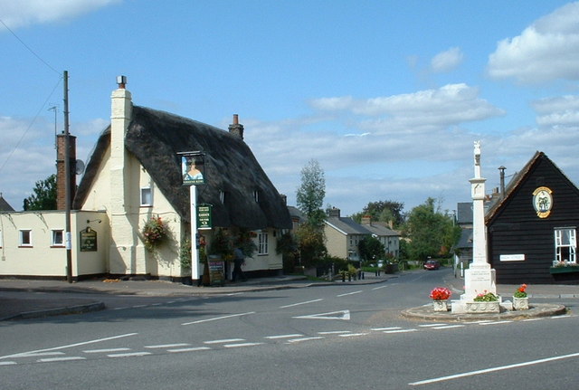


Why visit Fowlmere
Townapedia lists 5 museums and landmarks, 6 parks and trails, 4 places to eat and 1 place to stay in and around town.
Highlights include Imperial War Museum Duxford, Fowlmere War Memorial, Melwood Local Nature Reserve and Fowlmere RSPB reserve.
Weather in Fowlmere
Forecast from MET Norway (CC BY 4.0). Full forecast
About Fowlmere
Fowlmere is one of the southernmost villages in Cambridgeshire, England. The population of the civil parish at the 2011 Census was 1,206. It is very close to the Imperial War Museum Duxford, and 9 miles (14 km) southwest of the city of Cambridge.
From the Wikipedia article Fowlmere (this version), under CC BY-SA 4.0.
Travel tips from other travellers: Fowlmere on Wikivoyage (CC BY-SA 4.0).
Museums and landmarks5

Imperial War Museum Duxford
Museum · 2.3 mi
Britain's largest aviation museum

Parks, trails and playgrounds6


Fowlmere RSPB reserve
Park · 1.0 mi
RSPB nature reserve in the United Kingdom


Restaurants and cafes4
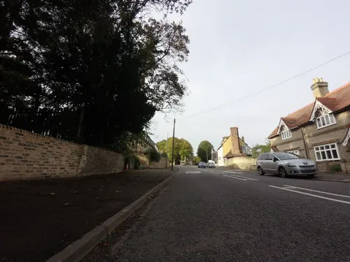
The Chequers
Bar and pub
High Street, Royston
Tu-Fr 11:45-15:00,17:00-23:00; Sa 11:45-23:00; Su 11:45-18:00
Cafe Amigo
Cafe · Coffee Shop, Cafe · 0.6 mi
Long Lane, Royston
Tu-Sa 09:00-16:00; Su 10:00-16:00

Where to stay1
History
The village has an ancient landmark called the ‘Round Moat’, which is the remains of an early Saxon settlement dating from around the ninth century.
Fowlmere is a parish, 6 miles (9.7 km) north-east from Royston, 2+1⁄2 miles (4.0 km) south-east from the Shepreth station on the Hitchin, Royston and Cambridge line of the London and North Eastern railway, and 9 miles (14 km) south from Cambridge, in the hundred of Thriplow, petty sessional division of Arrington and Melbourn, union and county court district of Royston, rural deanery of Barton, archdeaconry and diocese of Ely. The cemetery, on the Shepreth road, comprises 1-acre (4,000 m2) of ground, given by the late F. M. Beldam-Johns esq. and has a chapel, erected in 1912; it is under the control of the Parish Council.
The Census Records from 1841 to 1891 can be found in the Cambridge Record Office.
Read more of the history
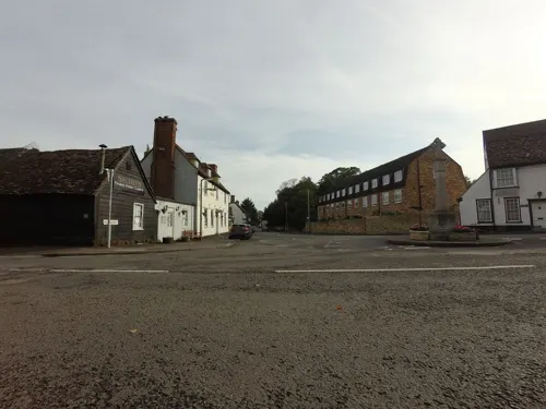
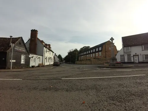
The church of St. Mary is a fine structure of flint in the Early English, Decorated and Perpendicular styles, consisting of chancel, nave, aisle, transepts, north porch and a lofty embattled central tower containing 5 bells; there are two memorial windows, and there is also a monument to the Mitchell family, dated 1745 and 1748: the church was restored during the period 1870-90, at a cost of about £3,000, and has 250 sittings. The register dates from the year 1561. The Congregational chapel was erected in 1780: in 1870 an apse was added and an organ purchased: the chapel underwent a thorough restoration in 1878, at a cost of about £1,100, this sum including the erection of a turret containing a clock and bell: there are 409 sittings. In the village is a cross of Portland stone, erected in 1919 as a memorial to the men of the parish who fell in the Great War, 1914-18.
The village was struck by an F1/T2 tornado on 23 November 1981, as part of the record-breaking nationwide tornado outbreak on that day.
From the History section of Fowlmere on Wikipedia, under CC BY-SA 4.0.
Churches and places of worship3
Schools, colleges and libraries3
Map of Fowlmere
22 places. The map loads OpenStreetMap tiles when you open it.
Getting there and nearby towns
Cambridge City Airport (CBG) is the nearest airport with scheduled flights listed in OpenStreetMap, 9 miles away.
- Meldreth 3 mi west, about 5 min by car
- Harston 3 mi north, about 5 min by car
- Whittlesford 3 mi northeast, about 6 min by car
- Haslingfield 4 mi north, about 6 min by car
- Royston 5 mi southwest, about 8 min by car
- Orwell 5 mi northwest, about 7 min by car
- Great Chesterford 6 mi east, about 9 min by car
- Cambridge 8 mi north, about 12 min by car
- Saffron Walden 9 mi southeast, about 14 min by car
- Great Gransden 11 mi northwest, about 18 min by car
Drive times are estimates from straight-line distance, not routes.
Towns near Fowlmere


Keep exploring
Local news
Headlines from INDB.
Reviews, tips and questions
Loading what members have shared...
Sources and licences
- GeoNames (CC BY 4.0): population, coordinates, regions and time zone
- Mapillary (see each image): photos
- OpenStreetMap contributors (ODbL 1.0): places, airports, map data
- Wikidata (CC0 1.0): elevation, founding date, time zone, website, landmarks and historic places
- Wikimedia Commons (see each image): photos
- Wikipedia (CC BY-SA 4.0): overview and history text
Photo credits
- Fowlmere, Andy Peacock, CC BY-SA 2.0
- SG8 733D Fowlmere packet box 1, Steve Knight, CC BY 2.0
- Fowlmere packet box 2, Steve Knight, CC BY 2.0
- Imperialwarmuseumduxfordairspacecrop, IxK85, CC BY-SA 3.0
- Melwood Local Nature Reserve 3, Dudley Miles, CC BY-SA 4.0
- Street-level photo, tallguy, CC BY-SA 4.0
- Street-level photo, tallguy, CC BY-SA 4.0
- Street-level photo, tallguy, CC BY-SA 4.0
- Street-level photo, tallguy, CC BY-SA 4.0
- Street-level photo, tallguy, CC BY-SA 4.0
- Street-level photo, tallguy, CC BY-SA 4.0
- Street-level photo, tallguy, CC BY-SA 4.0
- Street-level photo, tallguy, CC BY-SA 4.0
Page built November 10, 2026. Spotted a mistake? Tell us or suggest a place.