


Why visit Harston
Townapedia lists 7 museums and landmarks, 4 parks and trails, 8 places to eat, 3 places to stay and 7 attractions in and around town.
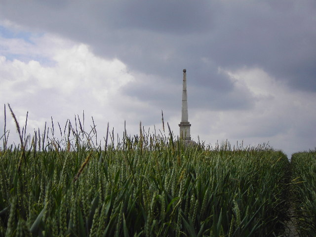
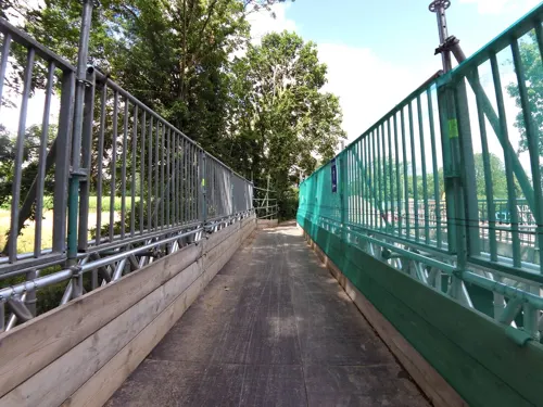
Highlights include Brasley Bridge, Rowley's Hill, Trumpington bed burial and Harston War Memorial.
Weather in Harston
Forecast from MET Norway (CC BY 4.0). Full forecast
About Harston
Harston is a village and civil parish in South Cambridgeshire, England, located around 5 miles (8 km) south of Cambridge. In 2011, it had a population of 1,740.
From the Wikipedia article Harston (this version), under CC BY-SA 4.0.
Things to do7


Museums and landmarks7

Trumpington bed burial
Monument and historic site · 2.6 mi
Early Anglo-Saxon burial of a young woman


Trumpington War Memorial
Monument and historic site · 3.0 mi
War memorial cross in the village of Trumpington in Cambridgeshire, England, UK
Parks, trails and playgrounds4


Trumpington Meadows
Park · 2.5 mi
Nature reserve in the United Kingdom

Restaurants and cafes8

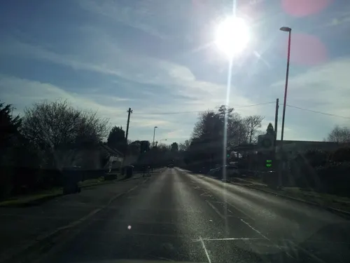
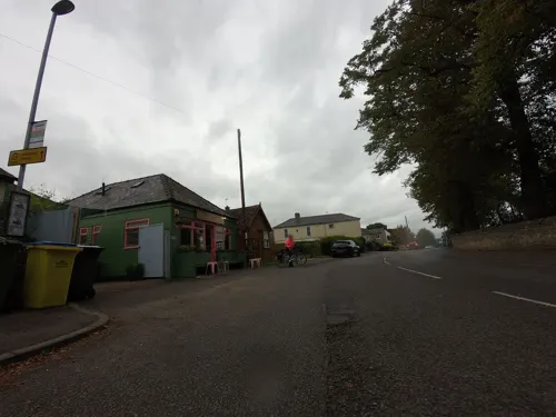

Nadia's Café
Cafe · Coffee Shop, Turkish, Breakfast, Ice Cream, Cake
29 High Street, Harston
Mo-Fr 07:00-17:00; Sa 08:00-17:00; Su 10:00-16:00

History
In the Domesday Book Harston is listed under the hundred of Thriplow, and has 29 households.
From the History section of Harston on Wikipedia, under CC BY-SA 4.0.
Notable people from Harston
- William David RudlandMissionary in China
- John Wallace FullerBritish-born general in the Union Army during the American Civil War
Born in Harston, according to Wikidata (CC0). Each name links to its Wikipedia article.
Where to stay3
Churches and places of worship8
All Saints' (Haslingfield Parish Church)
Church · Anglican · 1.5 mi
Church Way, Cambridge
Gas and EV charging1
Schools, colleges and libraries3
Map of Harston
41 places. The map loads OpenStreetMap tiles when you open it.
Getting there and nearby towns
Cambridge City Airport (CBG) is the nearest airport with scheduled flights listed in OpenStreetMap, 6 miles away.
- Haslingfield 1 mi northwest, about 2 min by car
- Whittlesford 3 mi southeast, about 5 min by car
- Orwell 4 mi west, about 6 min by car
- Meldreth 4 mi southwest, about 7 min by car
- Cambridge 5 mi north, about 7 min by car
- Royston 8 mi southwest, about 12 min by car
- Oakington 9 mi north, about 14 min by car
- Saffron Walden 10 mi southeast, about 17 min by car
- Saint Ives 15 mi northwest, about 24 min by car
- Biggleswade 15 mi west, about 24 min by car
Drive times are estimates from straight-line distance, not routes.
Towns near Harston


Keep exploring
Local news
Headlines from INDB.
Reviews, tips and questions
Loading what members have shared...
Sources and licences
- GeoNames (CC BY 4.0): population, coordinates, regions and time zone
- Mapillary (see each image): photos
- OpenStreetMap contributors (ODbL 1.0): places, airports, map data
- Wikidata (CC0 1.0): elevation, founding date, time zone, website, landmarks and historic places
- Wikimedia Commons (see each image): photos
- Wikipedia (CC BY-SA 4.0): overview and history text
Photo credits
- Milestone - A10 Harston, Smb1001, CC BY-SA 4.0
- The Trumpington Cross in the Cambridge University Museum of Archaeology and Anthropology, Ethan Doyle White, CC BY-SA 4.0
- Byron's Pool 1, Dudley Miles, CC BY-SA 4.0
- Trumpington Meadows east 8, Dudley Miles, CC BY-SA 4.0
- All Saints Church Little Shelford, Marvinthefish, CC BY-SA 3.0
- Rowley's Hill Obelisk, David Lamkin, CC BY-SA 2.0
- Hauxton Cambs church 2, Cruccone, CC BY 3.0
- Newton Cambs church, Cruccone, CC BY 3.0
- The Queen's Head, Newton Cambs, Cruccone, CC BY 3.0
- Haslingfield Endowed Primary School, Smb1001, CC BY-SA 4.0
- -2021-06-01 Church Street, Haslingfield, Cambridgeshire, John Sutton, CC BY-SA 2.0
- Spring at Nine Wells, User:Rich257, CC BY-SA 3.0
- Street-level photo, cyclestreets, CC BY-SA 4.0
- Street-level photo, adam2, CC BY-SA 4.0
- Street-level photo, adam2, CC BY-SA 4.0
- Street-level photo, adam2, CC BY-SA 4.0
- Street-level photo, smsm1, CC BY-SA 4.0
- Street-level photo, smsm1, CC BY-SA 4.0
- Street-level photo, cyclestreets, CC BY-SA 4.0
- Street-level photo, adam2, CC BY-SA 4.0
- Street-level photo, adam2, CC BY-SA 4.0
- Street-level photo, tallguy, CC BY-SA 4.0
- Street-level photo, adam2, CC BY-SA 4.0
- Street-level photo, adam2, CC BY-SA 4.0
- Street-level photo, tallguy, CC BY-SA 4.0
- Street-level photo, adam2, CC BY-SA 4.0
- Street-level photo, tallguy, CC BY-SA 4.0


Page built November 10, 2026. Spotted a mistake? Tell us or suggest a place.