


Great Waldingfield, United Kingdom
Great Waldingfield is a town of 1,256 people in England, United Kingdom.
Why visit Great Waldingfield
Townapedia lists 3 museums and landmarks, 4 parks and trails, 7 places to eat and 3 places to stay in and around town.
Highlights include Gainsborough's House, Melford Hall, Sudbury Common Lands and Cornard Mere.
Weather in Great Waldingfield
Forecast from MET Norway (CC BY 4.0). Full forecast
About Great Waldingfield
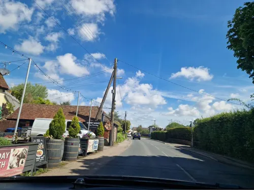
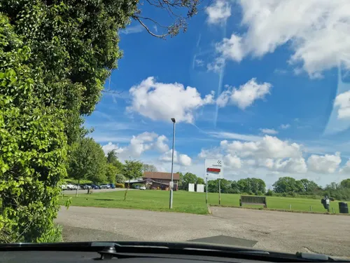
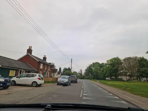
Great Waldingfield is a village and civil parish in the Babergh district of Suffolk, England about two miles (3 km) north-east of Sudbury and two miles (3 km) south-west of its sister village, Little Waldingfield. The village is split into two separate parts; the older and smaller part around St Lawrence’s Church, and the newer and larger section along the B1115 road between Sudbury and Lavenham. Most of the houses in the newer section were built after World War II, including much council housing. The parish also includes the hamlets of Upsher Green and part of Washmere Green.
From the Wikipedia article Great Waldingfield (this version), under CC BY-SA 4.0.
Museums and landmarks3

Gainsborough's House
Museum · 2.3 mi
Museum in Sudbury, United Kingdom, birthplace of the leading English painter Thomas Gainsborough

Melford Hall
Museum · 2.9 mi
Grade I listed house in Long Melford, Suffolk, England, UK

Parks, trails and playgrounds4

Sudbury Common Lands
Park · 2.5 mi
Local nature reserve in Suffolk, England

The Railway Walks
Park · 3.3 mi
Local nature reserve in Suffolk, England

Restaurants and cafes7




Where to stay3
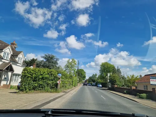

Clay Hall House Bed and Breakfast
Motel and hotel · 0.9 mi
Clay Hall Lane, Sudbury
History
The discovery of a number of artefacts suggests that the village existed during the Bronze Age and the Roman occupation of Britain, but the first record of the village's existence is from the Domesday Book of 1086, in which the village was listed as Walingafella Magna with three Saxon manors and an area of around 3,000 acres (12 km²).
Located on the major thoroughfare between the wool town of Lavenham and Sudbury, the village was well-placed to benefit from the trade boom in the late Middle Ages.
An outbreak of Bubonic plague in 1626 reduced the population by at least 10%, going from 513 in 1611 to 459 in 1631.
In 1648, during the siege of Colchester (part of the English Civil War) Cromwell's Ironsides were billeted in the village, an area which became Garrison Lane. Soldiers were stationed in the village after the war before being demobilised.
The late 19th and early 20th centuries saw a steady decline in population, caused by out-migration and a flu epidemic, from 659 in 1851 to 348 in 1931.
During World War II an airfield was built adjacent to the village. The airfield was completed in 1943 and handed over to the USAAF on 23 March 1944. For security reasons named Station 174 by the United States Army Air Force, the airfield was later more commonly known as RAF Sudbury. With three runways, the airfield was home to the 486th Bombardment Group.
From the History section of Great Waldingfield on Wikipedia, under CC BY-SA 4.0.
Churches and places of worship9
Gas and EV charging2
Schools, colleges and libraries2
Acton Church of England Voluntary Controlled Primary School
School · Anglican · 1.0 mi
Lambert Drive, Sudbury
Great Waldingfield Church of England Voluntary Controlled Primary School
School · Anglican
Folly Road, Sudbury
Healthcare1
Map of Great Waldingfield
31 places. The map loads OpenStreetMap tiles when you open it.
Getting there and nearby towns
RAF Honington (BEQ) is the nearest airport with scheduled flights listed in OpenStreetMap, 20 miles away.
- Sudbury 2 mi southwest, about 3 min by car
- Lavenham 4 mi north, about 6 min by car
- Bildeston 7 mi northeast, about 11 min by car
- Castle Hedingham 9 mi southwest, about 14 min by car
- Great Yeldham 9 mi west, about 15 min by car
- Boxted 9 mi southeast, about 15 min by car
- Halstead 10 mi southwest, about 15 min by car
- Colchester 13 mi southeast, about 21 min by car
- Bury St Edmunds 13 mi north, about 22 min by car
- Stowmarket 13 mi northeast, about 21 min by car
Drive times are estimates from straight-line distance, not routes.
Towns near Great Waldingfield


Keep exploring
Local news
Headlines from INDB.
Reviews, tips and questions
Loading what members have shared...
Sources and licences
- GeoNames (CC BY 4.0): population, coordinates, regions and time zone
- Mapillary (see each image): photos
- OpenStreetMap contributors (ODbL 1.0): places, airports, map data
- Wikidata (CC0 1.0): elevation, founding date, time zone, website, landmarks and historic places
- Wikimedia Commons (see each image): photos
- Wikipedia (CC BY-SA 4.0): overview and history text
Photo credits
- Gainsboroughs house Sudbury, Oxyman, CC BY 2.5
- Long Melford - Melford Hall, PAUL FARMER, CC BY-SA 2.0
- Sudbury - Church of St Gregory, Oxyman, CC BY-SA 2.0
- Sudbury - Church of St Peter, Robert Edwards, CC BY-SA 2.0
- St. Mary's Church, Chilton, Suffolk - view from northwest, William Henderson, CC BY-SA 3.0
- Stour Valley Path, Sudbury Common Lands. - panoramio, Maarten Sepp, CC BY-SA 3.0
- All Saints Church, Acton, West Suffolk Illustrated (1907), George Sebastian Cousins, Public domain
- Street-level photo, edloach, CC BY-SA 4.0
- Street-level photo, smsm1, CC BY-SA 4.0
- Street-level photo, IpswichEdits, CC BY-SA 4.0
- Street-level photo, edloach, CC BY-SA 4.0
- Street-level photo, IpswichEdits, CC BY-SA 4.0
- Street-level photo, edloach, CC BY-SA 4.0
- Street-level photo, edloach, CC BY-SA 4.0
- Street-level photo, edloach, CC BY-SA 4.0

Page built November 10, 2026. Spotted a mistake? Tell us or suggest a place.