


Halstead, United Kingdom
Halstead is a town of 11,906 people in England, United Kingdom.
Why visit Halstead
Townapedia lists 2 museums and landmarks, 5 parks and trails, 16 places to eat, 1 place to stay and 1 attraction in and around town.
Highlights include Holy Trinity Church (disused), Brickfield and Long Meadow and Gosfield Sandpits.
Weather in Halstead
Forecast from MET Norway (CC BY 4.0). Full forecast
About Halstead
Halstead is a town and civil parish in the Braintree district of Essex, England. It lies on the River Colne, 6 miles (10 km) north-east of Braintree and 12 miles (19 km) north-west of Colchester. At the 2021 census the parish had a population of 13,529. It is twinned with Haubourdin in the Nord department of France.
From the Wikipedia article Halstead (this version), under CC BY-SA 4.0.
Travel tips from other travellers: Halstead on Wikivoyage (CC BY-SA 4.0).
Photos of Halstead


Things to do1
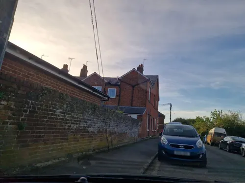
Museums and landmarks2
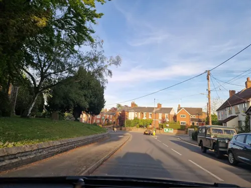

Parks, trails and playgrounds5



Belcher's and Broadfield Woods
Park · 2.5 mi
Essex Wildlife Trust Nature reserve

Restaurants and cafes16
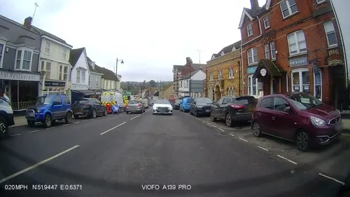
Imjai Thai Restaurant
Restaurant · Thai
33 High Street, Halstead
Tu-Th 17:00-22:00; Fr-Sa 17:00-22:30; Su 17:00-21:00
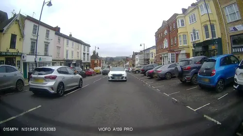
Meow Cat Cafe
Cafe · Coffee Shop, Cake
7 High Street, Halstead
Mo 10:35-18:10; Tu 11:40-19:15; We 09:30-17:05; Th-Fr 09:30-20:35;...
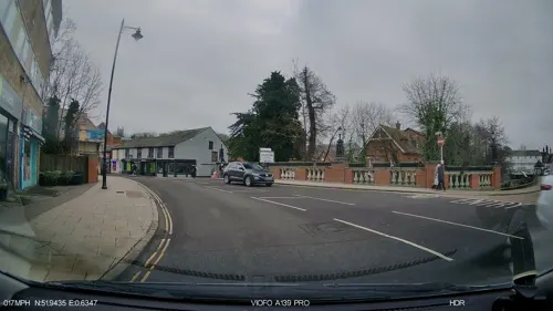
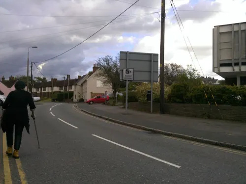
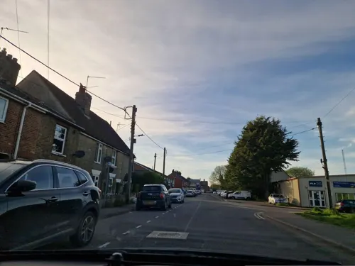
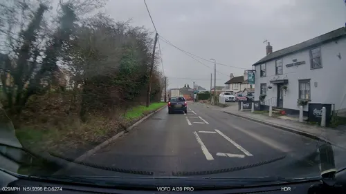

4 more on the map.
History
Halstead is an ancient community that developed initially on the hill to the north of the River Colne. Archaeological evidence indicates that Halstead has been occupied since the early Bronze Age. The sites of Iron Age and Roman settlements, including a villa, were discovered in the vicinity of Greenstead Hall, where Saxon pottery was also found. A Romano-British villa also lies in a field to the south of the River Colne at Blue Bridge, indicating early settlement in the fertile river valley. The name Halstead derives from the Old English gehæld / hald (refuge, shelter, healthy) and stede (site, place or farm), meaning "healthy farm" or "place of refuge". After the Norman Conquest, in the Middle English of the 11th century, hald was written and spoken as halt, holt, or holð. Halstead is recorded in the Domesday Book of 1086 as Haltesteda and thrice as Halsteda in the Hundred of Hinckford, where it was mainly held by many freemen as feu in 1066, at the time of King Edward. In 1086, Halstead was one of the largest 20% of settlements recorded in Domesday, and had four owners. Most of the manor of Halstead had been granted by King William to William de Warenne as tenant-in-chief and lord of most of its wealth, and about one-third of the manor of Halstead was possessed by Richard, son of count Gilbert as tenant-in-chief.
Read more of the history
In the Rebellion of 1088, William de Warenne took the winning side of William Rufus and was named Earl of Surrey, while Richard supported Robert Curthose which led to retirement at a monastery and transfer of his portion of Halstead to his son Gilbert fitz Richard.
There was evidence of a market in Halstead before 1251 when a royal charter was granted for a weekly market and an annual fair. Further grants were made in 1330 and 1467 for the market which was then held in Chipping Hill. St Andrew's Church was in existence by 1276 and the town developed around the Church and nearby market.
In about 1413 Holy Trinity Chapel was erected near the junction of the present Chapel Hill with Trinity Street and Mount Hill. This chapel disappeared by the 18th century and during 1843 it was replaced by Holy Trinity Church, a Gothic Revival building.
From the History section of Halstead on Wikipedia, under CC BY-SA 4.0.
Notable people from Halstead
- Agnes MortonEnglish tennis player (1872–1952)
- Adam ButlerBritish Conservative Party politician (1931-2008)
- George Henry FowkeBritish Army general
- Frederick Unwincricketer (1911-1990)
- George SmithEnglish cricketer with Essex (1929-1930)
- John Bourchier, 6th Baron Ferrers of GrobyEnglish noble
- Augustine Stowpublic servant and politician in South Australia (1833-1903)
- John CoggeshallRhode Island colonial president (1601-1647)
- George RobertsonAustralian publisher, born 1860
- Annie HuggettEnglish suffragette (1892–1995)
Born in Halstead, according to Wikidata (CC0). Each name links to its Wikipedia article.
Where to stay1
Churches and places of worship9
Shopping4
Gas and EV charging2
Schools, colleges and libraries5
Holy Trinity Church of England Voluntary Controlled Primary School
School · Anglican · 0.4 mi
Beridge Road, Halstead
Healthcare2
Map of Halstead
47 places. The map loads OpenStreetMap tiles when you open it.
Getting there and nearby towns
London Stansted Airport (STN) is the nearest airport with scheduled flights listed in OpenStreetMap, 17 miles away.
- Sudbury 8 mi northeast, about 12 min by car
- Witham 10 mi south, about 16 min by car
- Colchester 12 mi east, about 19 min by car
- Haverhill 13 mi northwest, about 21 min by car
- Maldon 15 mi south, about 24 min by car
- Chelmsford 16 mi southwest, about 26 min by car
- Saffron Walden 18 mi west, about 29 min by car
- Ipswich 23 mi east, about 38 min by car
- Stowmarket 23 mi northeast, about 37 min by car
- Newmarket 23 mi northwest, about 37 min by car
Drive times are estimates from straight-line distance, not routes.
Towns near Halstead


Keep exploring
Local news
Headlines from INDB.
Reviews, tips and questions
Loading what members have shared...
Sources and licences
- GeoNames (CC BY 4.0): population, coordinates, regions and time zone
- Mapillary (see each image): photos
- OpenStreetMap contributors (ODbL 1.0): places, airports, map data
- Wikidata (CC0 1.0): elevation, founding date, time zone, website, landmarks and historic places
- Wikimedia Commons (see each image): photos
- Wikipedia (CC BY-SA 4.0): overview and history text
Photo credits
- Halstead High Street, Oxyman, CC BY 2.5
- Head Street and St Andrews Halstead, kitmasterbloke, CC BY 2.0
- St Andrews Parish Church Halstead and War Memorial, kitmasterbloke, CC BY 2.0
- St Andrews Parish Church Halstead, kitmasterbloke, CC BY 2.0
- Stained Glass in St Andrews Church, Halstead, kitmasterbloke, CC BY 2.0
- Brickfield and Long Meadow 5, Dudley Miles, CC BY-SA 4.0
- Gosfield Sandpits 6, Dudley Miles, CC BY-SA 4.0
- Both churches with Colchestewr Rd, kitmasterbloke, CC BY 2.0
- Jill Crossland, concert Pianist - 53577107639, kitmasterbloke, CC BY 2.0
- Jill Crossland, concert Pianist, kitmasterbloke, CC BY 2.0
- Street-level photo, IpswichEdits, CC BY-SA 4.0
- Street-level photo, IpswichEdits, CC BY-SA 4.0
- Street-level photo, IpswichEdits, CC BY-SA 4.0
- Street-level photo, edloach, CC BY-SA 4.0
- Street-level photo, edloach, CC BY-SA 4.0
- Street-level photo, petermead, CC BY-SA 4.0
- Street-level photo, edloach, CC BY-SA 4.0
- Street-level photo, IpswichEdits, CC BY-SA 4.0
- Street-level photo, edloach, CC BY-SA 4.0
- Street-level photo, IpswichEdits, CC BY-SA 4.0
- Street-level photo, IpswichEdits, CC BY-SA 4.0
- Street-level photo, petermead, CC BY-SA 4.0
- Street-level photo, edloach, CC BY-SA 4.0
- Street-level photo, edloach, CC BY-SA 4.0
- Street-level photo, edloach, CC BY-SA 4.0
- Street-level photo, edloach, CC BY-SA 4.0
- Street-level photo, edloach, CC BY-SA 4.0
- Street-level photo, petermead, CC BY-SA 4.0
- Street-level photo, edloach, CC BY-SA 4.0
- Street-level photo, petermead, CC BY-SA 4.0
- Street-level photo, edloach, CC BY-SA 4.0
- Street-level photo, edloach, CC BY-SA 4.0
- Street-level photo, edloach, CC BY-SA 4.0
- Street-level photo, edloach, CC BY-SA 4.0
- Street-level photo, edloach, CC BY-SA 4.0
- Street-level photo, edloach, CC BY-SA 4.0
- Street-level photo, edloach, CC BY-SA 4.0
Page built November 10, 2026. Spotted a mistake? Tell us or suggest a place.