


Haddenham, United Kingdom
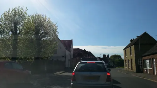
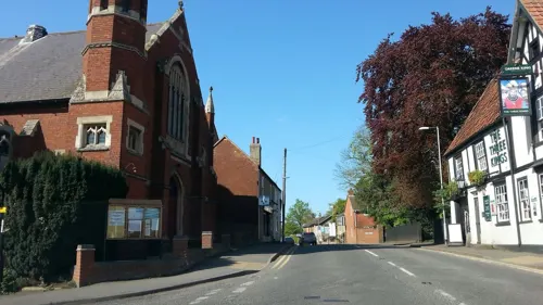
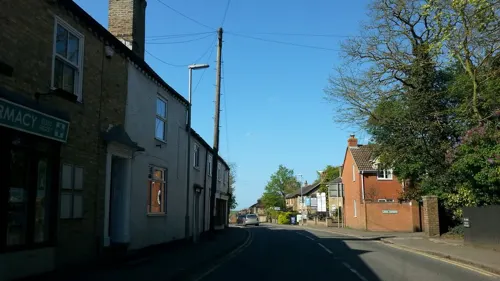
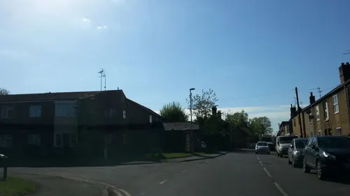
Haddenham is a town of 2,937 people in England, United Kingdom.
Why visit Haddenham
Townapedia lists 3 museums and landmarks, 2 parks and trails and 6 places to eat in and around town.
Highlights include Doghouse Grove.
Weather in Haddenham
Forecast from MET Norway (CC BY 4.0). Full forecast
About Haddenham
Haddenham is a village and civil parish in Cambridgeshire, England. The 2011 census reported a population of 3,344, a figure which includes the hamlet of Aldreth. In the 2021 census, Haddenham had a reported population of 3,438, also including the hamlet of Aldreth.
From the Wikipedia article Haddenham, Cambridgeshire (this version), under CC BY-SA 4.0.
Museums and landmarks3

Parks, trails and playgrounds2


Restaurants and cafes6




Churches and places of worship6

St James' Church, Stretham, Cambridgeshire
Church · 3.0 mi
Church in Stretham, Cambridgeshire, England, UK

History
The Archaeology Data Service reports Iron Age features such as ditches and possible roundhouses. Historical records of a Saxon ecclesiastical manor suggest Haddeenham was a settlement in Saxon times. Nine Anglo-Saxon graves were discovered next to the Three Kings pub.
During the Second World War, Haddenham was a Starfish bombing decoy site, both K-type (day) and Q-type (night), which were used to divert German bombing away from RAF Bomber Command's nearby airfields.
From the History section of Haddenham, Cambridgeshire on Wikipedia, under CC BY-SA 4.0.
Shopping3
Schools, colleges and libraries4
Healthcare1
Map of Haddenham
25 places. The map loads OpenStreetMap tiles when you open it.
Getting there and nearby towns
Cambridge City Airport (CBG) is the nearest airport with scheduled flights listed in OpenStreetMap, 11 miles away.
- Wilburton 1 mi east, about 2 min by car
- Stretham 3 mi east, about 5 min by car
- Witchford 3 mi northeast, about 5 min by car
- Earith 5 mi west, about 8 min by car
- Ely 6 mi northeast, about 9 min by car
- Over 6 mi southwest, about 10 min by car
- Somersham 6 mi west, about 10 min by car
- Longstanton 7 mi southwest, about 11 min by car
- Chatteris 8 mi northwest, about 13 min by car
- Swavesey 8 mi southwest, about 12 min by car
Drive times are estimates from straight-line distance, not routes.
Towns near Haddenham


Keep exploring
Local news
Headlines from INDB.
Reviews, tips and questions
Loading what members have shared...
Sources and licences
- GeoNames (CC BY 4.0): population, coordinates, regions and time zone
- Mapillary (see each image): photos
- OpenStreetMap contributors (ODbL 1.0): places, airports, map data
- Wikidata (CC0 1.0): elevation, founding date, time zone, website, landmarks and historic places
- Wikimedia Commons (see each image): photos
- Wikipedia (CC BY-SA 4.0): overview and history text
Photo credits
- UK Haddenham (Cambridgeshire) (SideA), Uksignpix, CC BY-SA 3.0
- Doghouse Grove 5, Dudley Miles, CC BY-SA 4.0
- St James' Church Stretham 17-08-2010, John McCullough, CC BY 3.0
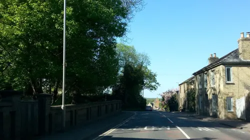
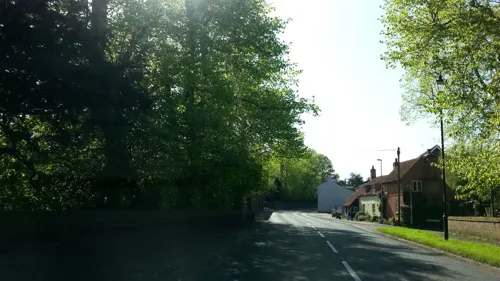
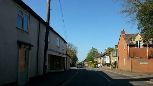
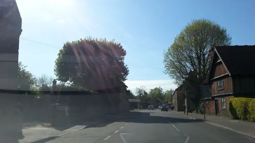
- Street-level photo, adam2, CC BY-SA 4.0
- Street-level photo, adam2, CC BY-SA 4.0
- Street-level photo, adam2, CC BY-SA 4.0
- Street-level photo, adam2, CC BY-SA 4.0
- Street-level photo, adam2, CC BY-SA 4.0
- Street-level photo, adam2, CC BY-SA 4.0
- Street-level photo, adam2, CC BY-SA 4.0
- Street-level photo, adam2, CC BY-SA 4.0
- Street-level photo, adam2, CC BY-SA 4.0
Page built November 10, 2026. Spotted a mistake? Tell us or suggest a place.