


Longstanton, United Kingdom
Longstanton is a town of 2,294 people in England, United Kingdom.
Why visit Longstanton
Townapedia lists 3 museums and landmarks, 16 parks and trails, 4 places to eat, 1 place to stay and 1 attraction in and around town.
Highlights include Bee Happy Farm, Swavesey Priory, Saint Michael's Well and Mare Fen.
Weather in Longstanton
Forecast from MET Norway (CC BY 4.0). Full forecast
About Longstanton
Longstanton is a village and civil parish in South Cambridgeshire, England, 6 miles (9.7 km) north-west of Cambridge city centre. Longstanton occupies 2,775 acres (1,123 ha). Longstanton was created in 1953 from the two parishes of Long Stanton All Saints and Long Stanton St Michael. While the village is called Longstanton, the alternative form Long Stanton is still in use, for example when referring to the separate pre-1953 parishes, or to the current ecclesiastical parish.
From the Wikipedia article Longstanton (this version), under CC BY-SA 4.0.
Things to do1

Bee Happy Farm
Farm and orchard
We sell eggs and honey as well as education. Our homesteading educational business is a fun and engaging program that teaches children...
25 Ladywalk, Longstanton
Museums and landmarks3

Swavesey Priory
Monument and historic site · 2.7 mi
Priory in Swavesey, South Cambridgeshire, England, UK
Parks, trails and playgrounds16
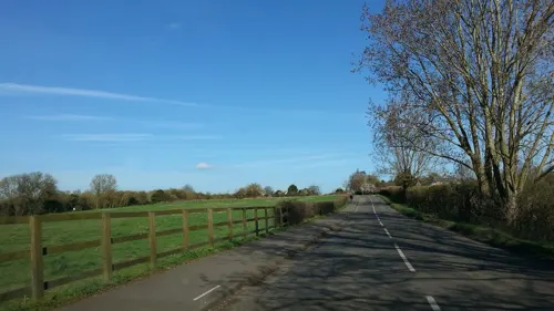
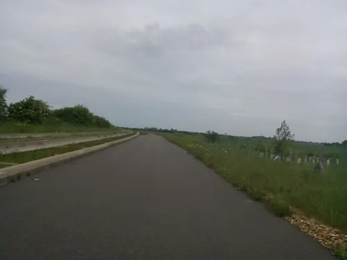


4 more on the map.
Restaurants and cafes4
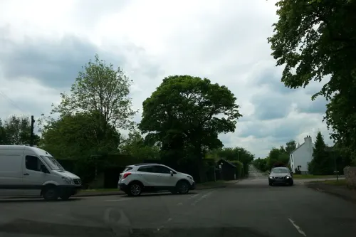
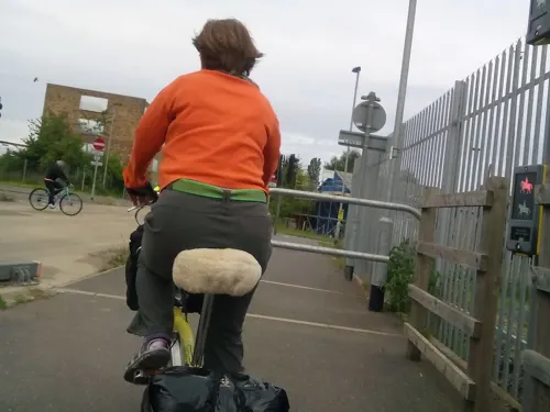
Northstowe Tap & Social
Cafe · Coffee Shop, Pizza, Burger, Chicken · 0.9 mi
Unit 2 Station Rd, Cambridge
History
For most of its history Longstanton was split into two parishes: the larger Long Stanton All Saints to the north and the smaller Long Stanton St. Michael to the south. The two may have been seen as distinct by 1086, when the Domesday Book referred to a "Stantone" and a "Stantune", and were certainly so by 1240, distinguished in Liber Memorandorum Ecclesie de Bernewelle as "Stanton" and "the other Stanton". The two villages were not formally amalgamated until 1953 and the two church parishes were permanently united in 1959.
The first known reference to the village, dating back to 1070 AD, calls the village "Stantona", meaning "an enclosed settlement of stoney ground." By the time of the Domesday Book "Stantone" was one of the most populous villages in the area, with 67 peasant tenants being recorded. By 1563 this had dwindled to 42 families, and the settlement had been overtaken in size by other nearby villages such as Chesterton. The population fluctuated between 400 and 600 for several centuries; in the 1901 census there were 340 inhabitants of Longstanton All Saints parish and 93 inhabitants of Longstanton St Michael's parish (population of Longstanton was 443).
Read more of the history
The Hatton family dominated Longstanton as largest landowner and resident squires until the early 19th century. Sir Christopher and his mother Alice in 1633 sold their manors, named as Long Stanton, Cheyneys, Walwyns, and Colvilles, to his uncle Thomas Hatton, 1st baronet. The estate descended with the Hatton baronetcy. Title and estates were inherited by Thomas Dingley Hatton, who succeeded to the baronetcy in 1811 and died in 1812, when the title became extinct. At inclosure in 1816 the Long Stanton estate was owned jointly by his six sisters, being divided shortly afterwards among three who were unmarried, Frances, Elizabeth Ann, and Anne, who received 888 a., 550 a., and 318 a. respectively. By will proved 1838 Frances left most of her share to Anne for life, with remainder to their distant relative Rev. Daniel Heneage Finch-Hatton, chaplain to Queen Victoria. Under Anne's will, proved 1842, her enlarged estate was settled on Elizabeth Ann for life, and it was only under Elizabeth Ann's will, proved 1845, that Daniel Finch-Hatton obtained possession. He was succeeded after his death in 1866 by his son Edward Hatton Finch-Hatton, who dispersed the land by sale in 1874 but appears to have retained the manorial rights until he died in 1887. His brother and heir William Robert Finch-Hatton (d. 1909) was followed by his eldest son George Daniel, after whose death in 1921.
The three open fields of Longstanton All Saints and of Longstanton St Michael's were inclosed in 1816.
The village sign of Longstanton erected in 1981 to mark the marriage of the Prince of Wales, features a golden hind, from the crest of the Hatton's, on top was the coat of arms of the Hatton.
The name of Sir Francis Drake's ship, in which he sailed around the world, was changed from 'Pelican' to the 'Golden Hind' in recognition of the patronage of Sir Christopher Hatton, Lord Chancellor to Queen Elizabeth I, who was first cousin to John Hatton of Longstanton, Lord of the Manor of All Saints. John eldest son's Sir Thomas Hatton had a 22 acre park in the parish of All Saints surrounding his manor house, Hatton Park.
The village was transformed by the opening of RAF Oakington in 1940, resulting in the building of three new housing estates in the village and a trebling of the population. Although the airfield was in Oakington, all of the hangars, housing and other buildings were in Longstanton. Two bomber squadrons operated from RAF Oakington for the rest of the Second World War. There was also a photographic reconnaissance unit and a meteorological unit for a time during the war. Following the end of the war, the airfield was used by transport squadrons until 1950 and then by air training schools. The cemetery at the church of Longstanton All Saints contains a number of graves of servicemen who died either during or after the war. The graves are tended by the Commonwealth War Graves Commission.
After 1946 the older pupils went to schools elsewhere but the growth of the village soon outpaced the accommodation available. New buildings, called Hatton Park School, were opened in 1954 on the site of the Hattons' manor house.
The site became an army barracks in 1975 and on its closure in 1999 most of the housing was sold to private owners. The barracks buildings were used from 2000 to 2010 as an Immigration Reception Centre by the Home Office.
From the History section of Longstanton on Wikipedia, under CC BY-SA 4.0.
More about Longstanton
Geography
The village itself lies on a low gravel ridge (approximately 10 metres (33 ft) to 14 metres (46 ft) above mean sea level) but most of the parish lies on West Walton formation and Amptill Clay formation mudstone.
Longstanton is immediately adjacent to the new town of Northstowe, which is planned to contain 10,000 homes and have a population of 26,000. The new town was proposed c. 2003, and will be built on land to the north and east of Longstanton (including the former RAF Oakington site). In 2012 outline planning consent was granted for the first phase of 1,500 houses, a new primary school and some local road improvements. The work to build a new primary school started in 2015. In 2021 a new civil parish of Northstowe was created from part of Longstanton and part of Oakington and Weswick; it is envisaged that the Longstanton, Oakington, and Northstowe will remain separate parishes even when the new town is complete.
Arts and culture
Longstanton has a Village Institute (built in 1926) and a small number of shops and businesses, including a local supermarket that was opened in 2014 and a post office. There is a medical practice, dental practice and two veterinary practices. The recreation ground has facilities for football, cricket, and tennis. The bowls club was formed in 1985 at which time the bowls green was constructed. There is also a children's play area that was re-fitted with new equipment in 2015. Longstanton is on the route of the Pathfinder March and approximately 300 walkers and runners take part each year in an event to commemorate the work of the Pathfinder reconnaissance squadrons, some of whom were based at RAF Oakington.
The village contains one public house, the Black Bull, which is over 300 years old. A number of public houses in the village have closed including King William IV, Railway Tavern, The Red Cow (closed 1908) and The Hoops (closed in 1983).
Long Stanton station was immortalised in the Flanders and Swann song "Slow Train". A fictional Longstanton Spice Museum is mentioned in the British comedy series I'm Alan Partridge.
Education
The village has a primary school and is in the catchment area for Northstowe Secondary College, and Swavesey Village College.
From the Wikipedia article Longstanton, under CC BY-SA 4.0.
Where to stay1
Churches and places of worship4
Shopping2
Schools, colleges and libraries4
Healthcare1
Map of Longstanton
36 places. The map loads OpenStreetMap tiles when you open it.
Getting there and nearby towns
Cambridge City Airport (CBG) is the nearest airport with scheduled flights listed in OpenStreetMap, 7 miles away.
- Oakington 2 mi southeast, about 3 min by car
- Swavesey 3 mi northwest, about 4 min by car
- Needingworth 5 mi northwest, about 8 min by car
- Earith 5 mi north, about 8 min by car
- Cambridge 6 mi southeast, about 10 min by car
- Saint Ives 6 mi northwest, about 10 min by car
- Wilburton 7 mi northeast, about 12 min by car
- Houghton 8 mi northwest, about 13 min by car
- Stretham 9 mi northeast, about 14 min by car
- Huntingdon 10 mi west, about 17 min by car
Drive times are estimates from straight-line distance, not routes.
Towns near Longstanton


Keep exploring
Local news
Headlines from INDB.
Reviews, tips and questions
Loading what members have shared...
Sources and licences
- GeoNames (CC BY 4.0): population, coordinates, regions and time zone
- Mapillary (see each image): photos
- OpenStreetMap contributors (ODbL 1.0): places, airports, map data
- Wikidata (CC0 1.0): elevation, founding date, time zone, website, landmarks and historic places
- Wikimedia Commons (see each image): photos
- Wikipedia (CC BY-SA 4.0): overview and history text
Photo credits
- Oakingtn church, Cruccone, CC BY 3.0
- St Michael's Church Longstanton, Iain99, CC BY-SA 3.0
- St Michael's Church, Longstanton, ChurchSniffer, CC BY-SA 4.0
- Street-level photo, adam2, CC BY-SA 4.0
- Street-level photo, adam2, CC BY-SA 4.0
- Street-level photo, adam2, CC BY-SA 4.0
- Street-level photo, adam2, CC BY-SA 4.0
- Street-level photo, adam2, CC BY-SA 4.0
- Street-level photo, adam2, CC BY-SA 4.0
- Street-level photo, cyclestreets, CC BY-SA 4.0
- Street-level photo, adam2, CC BY-SA 4.0
- Street-level photo, adam2, CC BY-SA 4.0
- Street-level photo, cyclestreets, CC BY-SA 4.0
Page built November 10, 2026. Spotted a mistake? Tell us or suggest a place.