


Why visit Swavesey
Townapedia lists 4 museums and landmarks, 8 parks and trails, 7 places to eat, 1 place to stay and 2 attractions in and around town.
Highlights include War Memorial, Swavesey Priory, Mare Fen and Fen Drayton Lakes.
Weather in Swavesey
Forecast from MET Norway (CC BY 4.0). Full forecast
About Swavesey
Swavesey is a village lying on the Prime Meridian of the world in Cambridgeshire, England, with a population of 2,463. The village is situated 9 miles to the north west of Cambridge and 3 miles south east of St Ives.
From the Wikipedia article Swavesey (this version), under CC BY-SA 4.0.
Things to do2
Museums and landmarks4

Swavesey Priory
Monument and historic site
Priory in Swavesey, South Cambridgeshire, England, UK
Parks, trails and playgrounds8
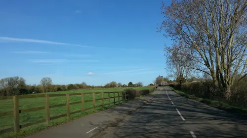
Fen Drayton Lakes
Park · 1.4 mi
RSPB nature reserve in the United Kingdom



Restaurants and cafes7
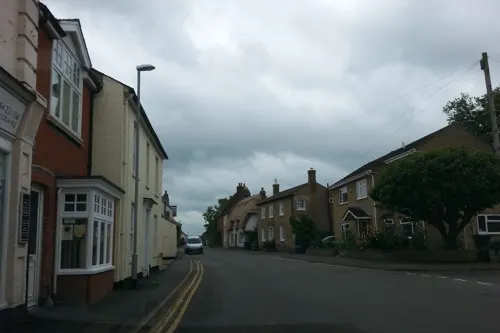
White Horse Inn
Bar and pub
1 Market Street, Swavesey
Mo-Th 12:00-23:00; Fr-Sa 12:00-24:00; Su 12:00-22:00
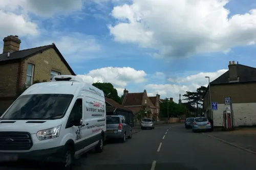
The Admiral
Bar and pub · 1.4 mi
31 High Street, Over
Mo-Th 16:00-23:30; Fr-Sa 12:00-23:30; Su 12:00-22:30
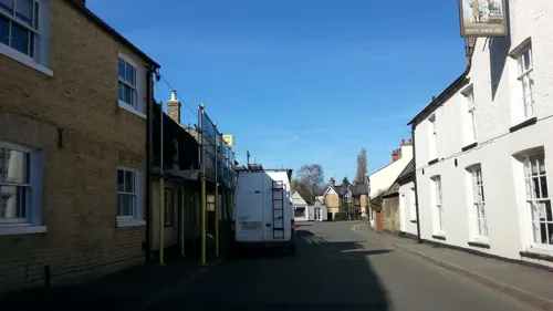
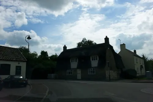
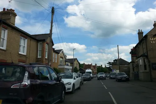
Teabellies
Cafe · 1.4 mi
Mo,Tu,We,Sa 09:00-15:00; Fr 09:00-17:00; Su 10:00-14:00

History
Swavesey, forming a historical parish of 3982 acres on the border with Huntingdonshire, lies on a narrow clay ridge rising to 18 metres above sea level at one time surrounded by fenland. The village was of importance during the early Middle Ages as the centre of a large 11th-century estate. A castle was built here in the late 11th or early 12th century, though is believed to have been derelict by 1200. Swavesey served as a port and subsequent market town and was fortified at the end of the 12th century.
An alien priory was founded in Swavesey shortly after the Norman Conquest, possibly replacing a Saxon minster.
From the History section of Swavesey on Wikipedia, under CC BY-SA 4.0.
More about Swavesey
Education
The village contains one primary school, Swavesey Primary School, which claims to be the only school in the United Kingdom to lie on the meridian. Swavesey Village College is a secondary school, which opened in 1958. The school provides secondary education for surrounding villages, including Over, Bar Hill, Longstanton, and Fenstanton, and uses a vertical tutor system. As with other village colleges, Swavesey's institution also provides adult education in the evenings and a myriad of extracurricular after-school clubs.
From the Wikipedia article Swavesey, under CC BY-SA 4.0.
Where to stay1
Churches and places of worship8
Shopping1
Schools, colleges and libraries4
Healthcare1
Map of Swavesey
36 places. The map loads OpenStreetMap tiles when you open it.
Getting there and nearby towns
Cambridge City Airport (CBG) is the nearest airport with scheduled flights listed in OpenStreetMap, 10 miles away.
- Saint Ives 4 mi northwest, about 6 min by car
- Earith 4 mi north, about 6 min by car
- Oakington 4 mi southeast, about 7 min by car
- Houghton 5 mi northwest, about 9 min by car
- Huntingdon 8 mi west, about 13 min by car
- Wilburton 8 mi northeast, about 14 min by car
- Cambridge 9 mi southeast, about 14 min by car
- Stretham 10 mi east, about 16 min by car
- Great Gransden 10 mi southwest, about 16 min by car
- Chatteris 11 mi north, about 18 min by car
Drive times are estimates from straight-line distance, not routes.
Towns near Swavesey


Keep exploring
Local news
Headlines from INDB.
Reviews, tips and questions
Loading what members have shared...
Sources and licences
- GeoNames (CC BY 4.0): population, coordinates, regions and time zone
- Mapillary (see each image): photos
- OpenStreetMap contributors (ODbL 1.0): places, airports, map data
- Wikidata (CC0 1.0): elevation, founding date, time zone, website, landmarks and historic places
- Wikimedia Commons (see each image): photos
- Wikipedia (CC BY-SA 4.0): overview and history text
Photo credits
- UK Swavesey, Uksignpix, CC BY-SA 3.0
- St Michael's Church Longstanton, Iain99, CC BY-SA 3.0
- Street-level photo, adam2, CC BY-SA 4.0
- Street-level photo, adam2, CC BY-SA 4.0
- Street-level photo, adam2, CC BY-SA 4.0
- Street-level photo, cyclestreets, CC BY-SA 4.0
- Street-level photo, adam2, CC BY-SA 4.0
- Street-level photo, adam2, CC BY-SA 4.0
- Street-level photo, adam2, CC BY-SA 4.0
- Street-level photo, adam2, CC BY-SA 4.0
- Street-level photo, adam2, CC BY-SA 4.0
- Street-level photo, cyclestreets, CC BY-SA 4.0
- Street-level photo, adam2, CC BY-SA 4.0
- Street-level photo, adam2, CC BY-SA 4.0
- Street-level photo, adam2, CC BY-SA 4.0
- Street-level photo, adam2, CC BY-SA 4.0
- Street-level photo, adam2, CC BY-SA 4.0
- Street-level photo, adam2, CC BY-SA 4.0
- Street-level photo, adam2, CC BY-SA 4.0
- Street-level photo, adam2, CC BY-SA 4.0
- Street-level photo, adam2, CC BY-SA 4.0
- Street-level photo, adam2, CC BY-SA 4.0
Page built November 10, 2026. Spotted a mistake? Tell us or suggest a place.