


Wilburton, United Kingdom
Wilburton is a town of 1,013 people in England, United Kingdom.
Why visit Wilburton
Townapedia lists 3 museums and landmarks, 2 parks and trails and 6 places to eat in and around town.
Highlights include Doghouse Grove.
Weather in Wilburton
Forecast from MET Norway (CC BY 4.0). Full forecast
About Wilburton
Wilburton is a village and civil parish in the East Cambridgeshire district, in the county of Cambridgeshire, England. It is 6 miles south west of Ely. While nominally an agricultural village, many residents work in Cambridge, Ely or London. In 2024 the built-up area had an estimated population of 921.
From the Wikipedia article Wilburton (this version), under CC BY-SA 4.0.
Museums and landmarks3

Parks, trails and playgrounds2


Restaurants and cafes6




Churches and places of worship7

St George's Church, Little Thetford
Church · 3.1 mi
Church in East Cambridgeshire, England, UK

St James' Church, Stretham, Cambridgeshire
Church · 1.8 mi
Church in Stretham, Cambridgeshire, England, UK

History
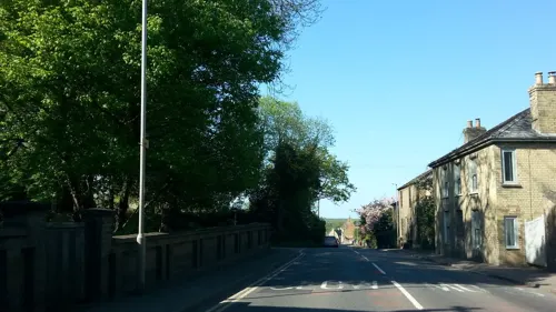
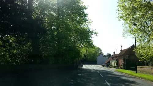
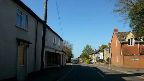
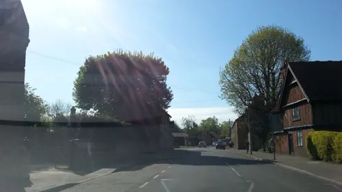
Wilburton is a parish of around 800 acres lying on the important medieval route from Earith to Stretham, and extending south to the River Great Ouse. As much of the land in the region is fenland, the village's position on the ridge between Stretham and Haddenham at the southern end of the Isle of Ely was important in its growth and success. Listed as Wilburhtun in 970 and Wilbertone in the Domesday Book, the name "Wilburton" means "Farmstead or village of a woman called Wilburh".
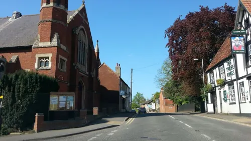
The village contains a number of old buildings, and was described in the 19th century as "very neat and contains some excellent houses". These include the Burystead (the former manor house, built c.1600), one of the few surviving half-timbered houses in the region, and the Victoria Place row of cottages. For the last few hundred years, the Pell family were the prominent local landowners, sponsoring the Ely and St Ives Railway in the late 19th century. Wilburton railway station, built in 1866, has been open for goods trains only since 1931.
From the History section of Wilburton on Wikipedia, under CC BY-SA 4.0.
Shopping3
Schools, colleges and libraries4
Healthcare1
Map of Wilburton
26 places. The map loads OpenStreetMap tiles when you open it.
Getting there and nearby towns
Cambridge City Airport (CBG) is the nearest airport with scheduled flights listed in OpenStreetMap, 10 miles away.
- Ely 5 mi northeast, about 8 min by car
- Chatteris 9 mi northwest, about 14 min by car
- Cambridge 11 mi south, about 17 min by car
- Saint Ives 11 mi west, about 17 min by car
- Newmarket 12 mi southeast, about 20 min by car
- March 14 mi north, about 23 min by car
- Mildenhall 14 mi east, about 23 min by car
- Huntingdon 15 mi west, about 25 min by car
- Whittlesey 19 mi northwest, about 31 min by car
- Downham Market 20 mi northeast, about 32 min by car
Drive times are estimates from straight-line distance, not routes.
Towns near Wilburton


Keep exploring
Local news
Headlines from INDB.
Reviews, tips and questions
Loading what members have shared...
Sources and licences
- GeoNames (CC BY 4.0): population, coordinates, regions and time zone
- Mapillary (see each image): photos
- OpenStreetMap contributors (ODbL 1.0): places, airports, map data
- Wikidata (CC0 1.0): elevation, founding date, time zone, website, landmarks and historic places
- Wikimedia Commons (see each image): photos
- Wikipedia (CC BY-SA 4.0): overview and history text
Photo credits
- Doghouse Grove 5, Dudley Miles, CC BY-SA 4.0
- St Georges Church 5-01-2003, John McCullough, CC BY-SA 2.0 uk
- St James' Church Stretham 17-08-2010, John McCullough, CC BY 3.0
- Street-level photo, adam2, CC BY-SA 4.0
- Street-level photo, adam2, CC BY-SA 4.0
- Street-level photo, adam2, CC BY-SA 4.0
- Street-level photo, adam2, CC BY-SA 4.0
- Street-level photo, adam2, CC BY-SA 4.0
- Street-level photo, adam2, CC BY-SA 4.0
- Street-level photo, adam2, CC BY-SA 4.0
- Street-level photo, adam2, CC BY-SA 4.0
- Street-level photo, adam2, CC BY-SA 4.0
Page built November 10, 2026. Spotted a mistake? Tell us or suggest a place.